The best running trails around Saint-Préjet-D'Allier
5.0
(2)
362
runners
48
runs
Jogging routes around Saint-Préjet-D'Allier traverse a landscape characterized by the Allier Gorges, volcanic plateaus, and extensive forests. The region features varied terrain, with altitudes ranging from 711m to 1135m, offering diverse gradients for runners. Trails often follow river valleys, such as the Allier, and wind through areas like the Mercoire forest, providing a mix of natural environments. This setting supports a range of running experiences, from moderate paths to more challenging ascents.
Best jogging routes around Saint-Préjet-D'Allier
- The most popular…
Last updated: July 15, 2026
52
runners
42.3km
05:51
1,850m
1,840m
Hard run. Very good fitness required. Mostly paved surfaces. Suitable for all skill levels.
31
runners
33.6km
04:44
1,400m
1,400m
Hard run. Very good fitness required. Mostly accessible paths. Some sure footedness required.

Sign up for free
19
runners
11.8km
01:21
240m
240m
Moderate run. Good fitness required. Mostly paved surfaces. Suitable for all skill levels.
5.0
(1)
9
runners
15.7km
01:57
430m
430m
Hard run. Very good fitness required. Mostly paved surfaces. Suitable for all skill levels.
10
runners
39.1km
05:32
1,940m
1,930m
Hard run. Very good fitness required. Mostly paved surfaces. Suitable for all skill levels.
Get access to more routes and recommendations from other explorers.
Sign up for free
Already have an account?
Our route recommendations are based on thousands of hikes, rides, and runs completed by other people on komoot.
Start today with a free account
Your next adventure awaits.
Login or Signup
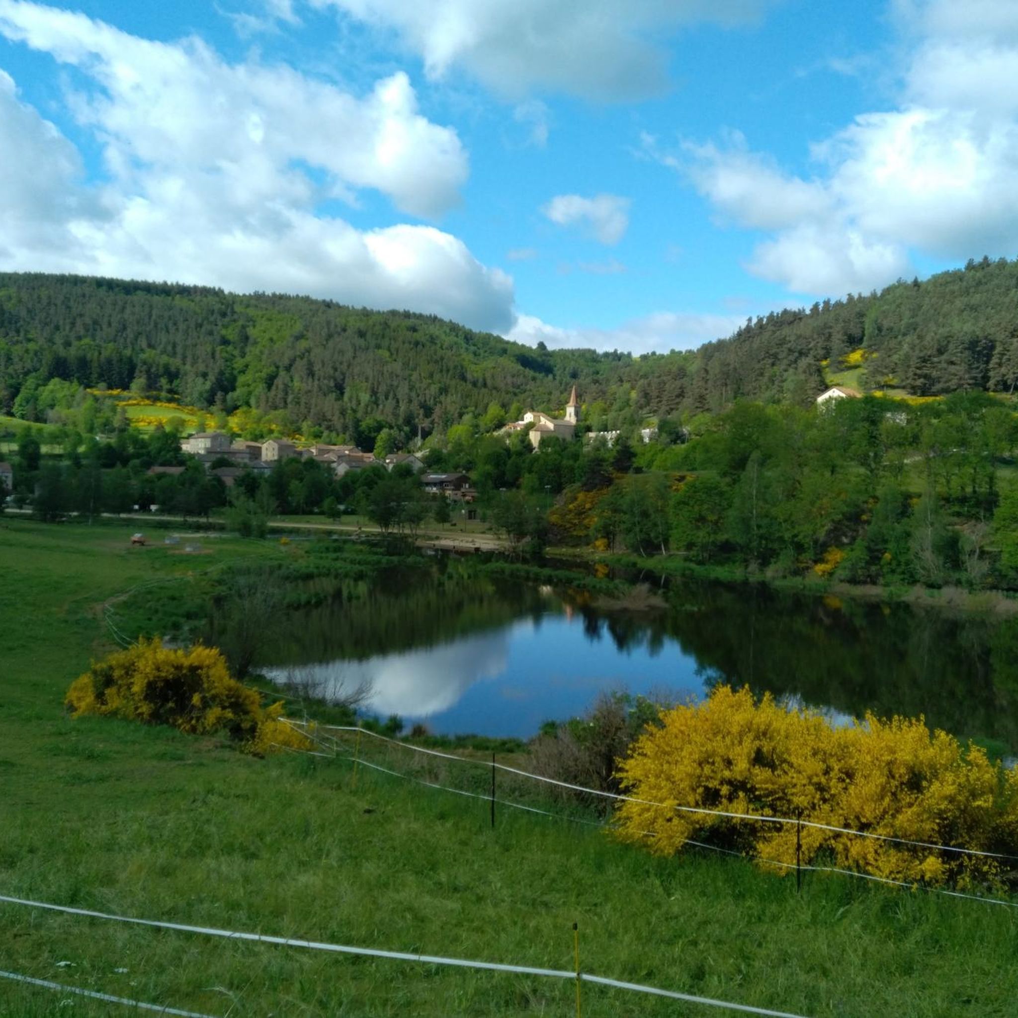
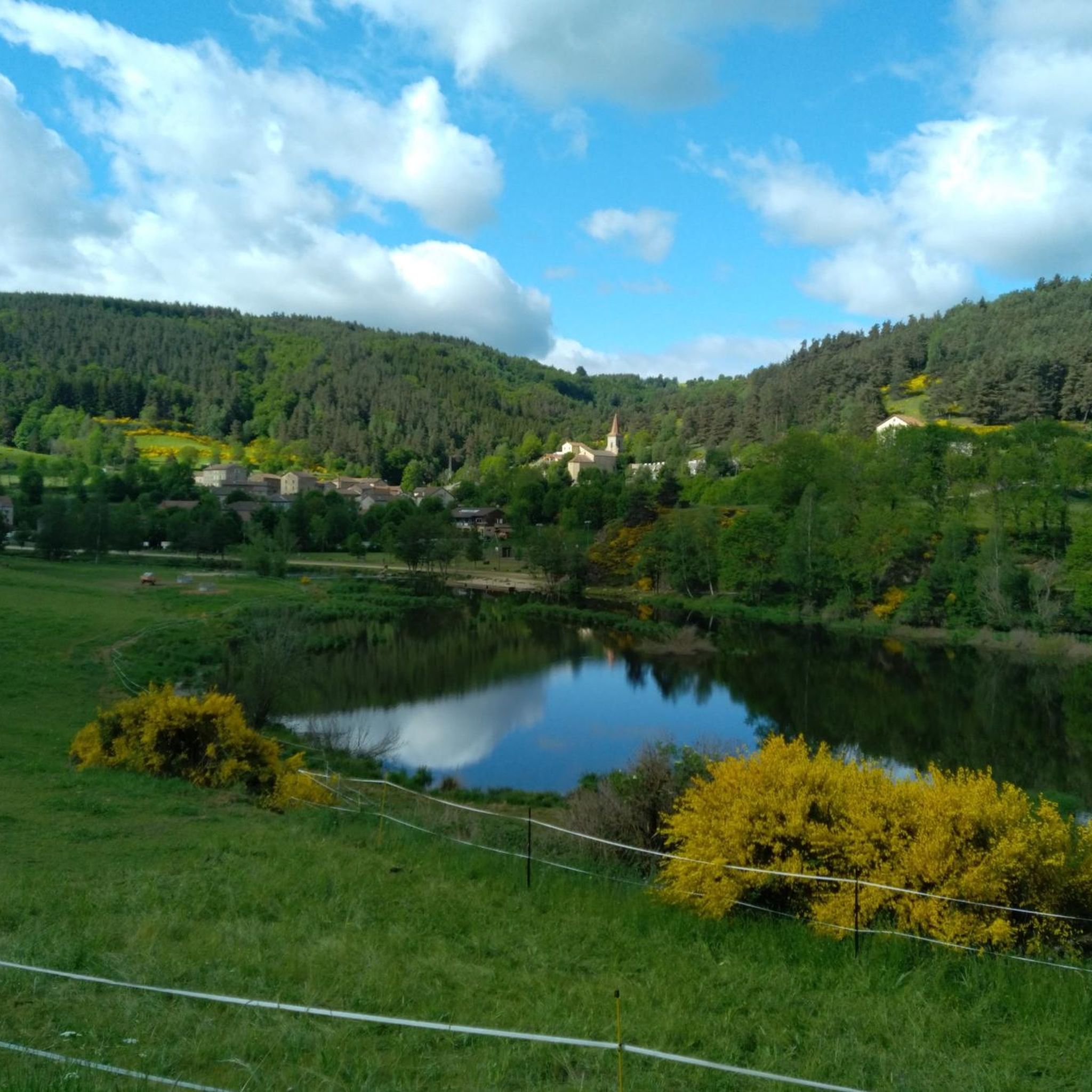
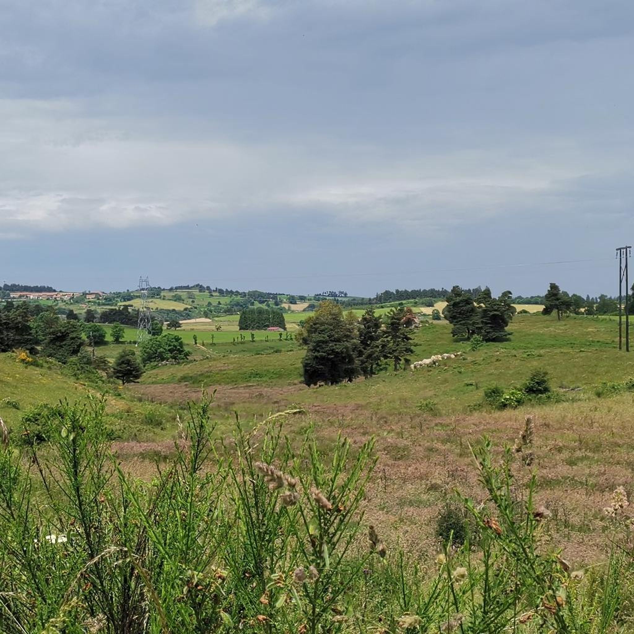
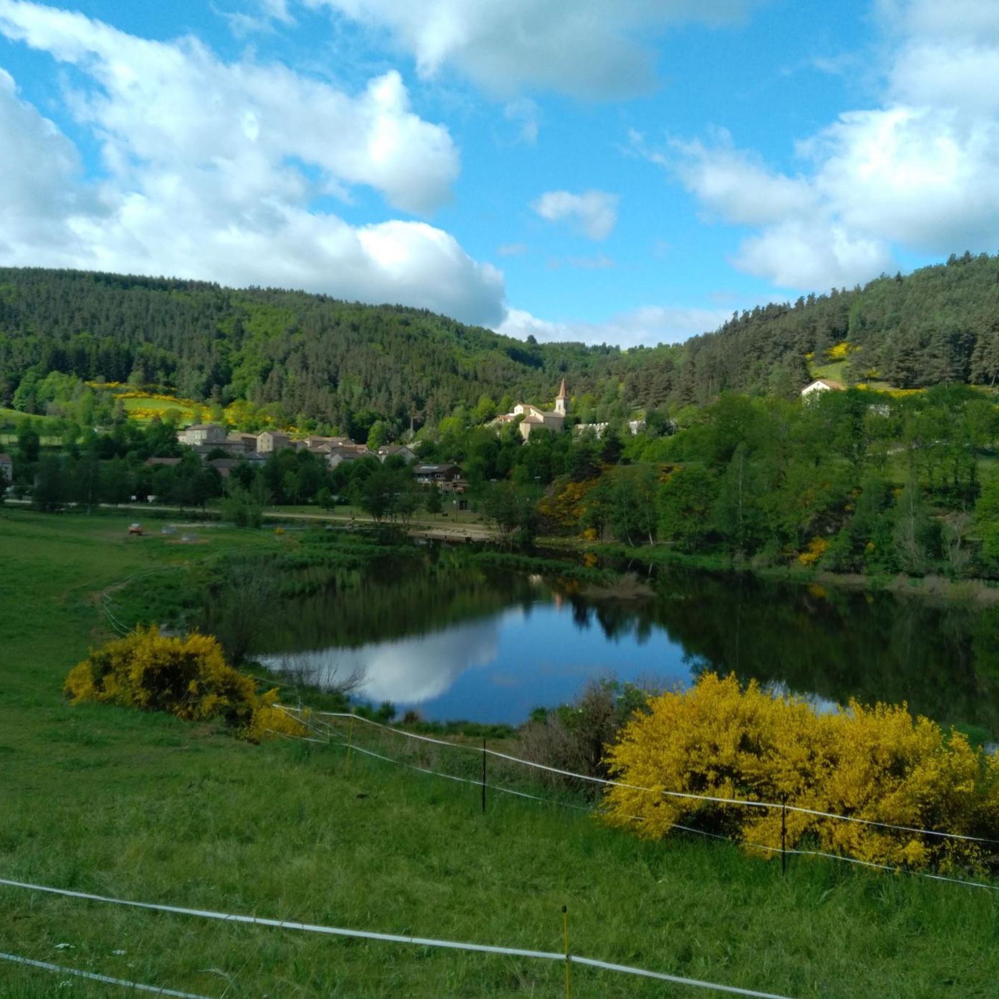
Tips from the Community

On our Camino / GR65 path: https://youtu.be/xZkbnoCtUzE
0
0
On our Camino / GR65 path: https://youtu.be/xZkbnoCtUzE
0
0

For the view from the summit
0
0

He not only constructed the Eiffel Tower, Gustav Eiffel
0
0
Incredible view for those with a head for heights...
0
0

According to biblical accounts, the apostle "Saint-Jacques" was the first person to be executed for his faith, as recorded in the Acts of the Apostles, making him an early martyr (blood witness) of Christianity. His tomb in the town named after him, "Santiago de Compostela" (Galicia, Spain), is one of the most famous and important pilgrimage destinations in the world, often ranked third after Jerusalem and Rome. Today, the day this article is being written, is his feast day in the calendar of saints. When this date falls on a Sunday, the Catholic Church celebrates a special "Holy Year" there.
0
0


Frequently Asked Questions
How many running routes are available in Saint-Préjet-D'Allier?
There are over 40 running routes around Saint-Préjet-D'Allier, offering a wide range of options for different fitness levels. These include 20 moderate and 20 difficult trails.
What kind of terrain can I expect on the running trails in Saint-Préjet-D'Allier?
The running trails in Saint-Préjet-D'Allier feature diverse terrain, from the dramatic Allier Gorges to volcanic plateaus and dense forests. You'll encounter varied gradients, with altitudes ranging from 711m to 1135m, providing a mix of moderate paths and more challenging ascents.
Are there any easy running routes suitable for beginners or families?
While many routes offer a challenge, you can find less strenuous options. For instance, the Saugues Town Center loop from Saugues is a moderate 5.3-mile (8.5 km) path that explores the town and surrounding areas, making it a good choice for a more relaxed run.
Can I find circular running routes in the Saint-Préjet-D'Allier area?
Yes, many running routes in the region are circular. An example is the Saint Jean Lacham – View of the Allier Valley loop from Alleyras, which is a longer, more difficult option, or the moderate Saugues Town Center loop from Saugues.
Are the running trails around Saint-Préjet-D'Allier dog-friendly?
Many trails in natural areas like Saint-Préjet-D'Allier are generally dog-friendly, especially those through forests and valleys. However, it's always recommended to keep dogs on a leash, especially near livestock or in protected areas, and to check specific route details for any restrictions.
What natural attractions can I see while running in the region?
The region is rich in natural beauty. You might encounter the majestic Allier Gorges, volcanic landscapes, and dense woodlands like the Mercoire forest. Specific natural highlights include the Basalt Columns and Fountain of Prades, The Organ Pipes of Prades, and Prades Beach and the Basaltic Rocks of the Allier.
Are there historical landmarks or points of interest along the running paths?
Absolutely. Many routes pass by significant historical and cultural sites. You could run past the ancient Saint Madeleine Chapel, the impressive Eiffel Bridge in Monistrol-d'Allier, or the Saint James Chapel of Rochegude, which offers incredible views.
How can I access the running routes using public transport?
While specific public transport options vary by trailhead, some villages like Saint-Privat-d'Allier, which is a stop on the Way of Saint James, may have better connections. It's advisable to check local bus or train schedules for access to specific starting points, especially for routes further from the main towns.
Is parking available near the trailheads for running routes?
Parking is generally available in or near the villages that serve as starting points for many routes, such as Alleyras or Saugues. For more remote trailheads, designated parking areas might be smaller or less frequent, so planning your start point is recommended.
What do other runners say about the trails in Saint-Préjet-D'Allier?
The running routes in Saint-Préjet-D'Allier are highly rated by the komoot community, with an average score of 5.0 stars from over 2 reviews. More than 260 runners have used komoot to explore the varied terrain, often praising the stunning views of the Allier Valley and the diverse natural environments.
Are there any longer, more challenging running routes for experienced runners?
Yes, for experienced runners seeking a challenge, there are several difficult long-distance options. The Saint Jean Lacham – View of the Allier Valley loop from Alleyras is a difficult 26.3-mile (42.3 km) trail with significant elevation gain, offering a strenuous and rewarding experience.
What are the typical elevation changes on the running routes?
The region's mountainous terrain means you'll encounter varied elevation changes. Routes can range from moderate paths with around 185m of ascent, like the Saugues Town Center loop from Saugues, to challenging trails with over 1800m of elevation gain, such as the Saint Jean Lacham – View of the Allier Valley loop from Alleyras.
When is the best time of year for running in Saint-Préjet-D'Allier?
The spring and autumn months generally offer the most pleasant conditions for running, with milder temperatures and beautiful scenery. Summer can be warm, especially in the gorges, while winter may bring snow and ice, particularly on higher volcanic plateaus, requiring appropriate gear and caution.
Are there running routes with good viewpoints in Saint-Préjet-D'Allier?
Many routes offer spectacular views, especially those traversing the volcanic plateaus or overlooking the Allier Gorges. The Saint Jean Lacham – View of the Allier Valley loop from Alleyras is specifically highlighted for its expansive views of the Allier Valley, and the Saint James Chapel of Rochegude also provides incredible panoramas.
Most popular routes around Saint-Préjet-D'Allier
Most popular attractions around Saint-Préjet-D'Allier

Get inspired with the komoot mobile app


Explore more
Browse the best Running Trails & Routes in other regions.
