The best MTB trails around Saint-André-De-Chalencon
4.6
(37)
318
riders
63
rides
Mountain biking around Saint-André-De-Chalencon offers varied terrain within the Haute-Loire department of the Auvergne-Rhône-Alpes region. The area features significant altitude variations, with elevations ranging from 549 meters to 969 meters, and is characterized by the Ance river valley and its historic Pont du Diable. Riders can explore forested areas like the forest of Miaune and encounter unique geological formations such as the coulée de lave de Bourianne. The landscape provides a diverse environment for mountain bike trails.
Best mountain bike…
Last updated: June 30, 2026
4.5
(2)
10
riders
27.0km
02:37
740m
740m
Moderate mountain bike ride. Good fitness required. Suitable for all skill levels.
5.0
(1)
5
riders
24.3km
02:24
630m
630m
Moderate mountain bike ride. Good fitness required. Advanced riding skills necessary.

Sign up for free
7
riders
27.9km
02:24
450m
450m
Moderate mountain bike ride. Good fitness required. Suitable for all skill levels.
5
riders
26.3km
02:20
610m
610m
Moderate mountain bike ride. Good fitness required. Suitable for all skill levels.
5.0
(3)
5
riders
37.2km
03:16
660m
660m
Moderate mountain bike ride. Good fitness required. Suitable for all skill levels.
Get access to more routes and recommendations from other explorers.
Sign up for free
Already have an account?
Our route recommendations are based on thousands of hikes, rides, and runs completed by other people on komoot.
Start today with a free account
Your next adventure awaits.
Login or Signup

Tips from the Community

The Devil's Bridge spans the Ance. It dates from the 10th century and is classified as a historic monument. Legend has it that this bridge was often destroyed by the floods of the Ance. The lord of Chalencon made a pact with the Devil so that it remained intact.
0
0
The medieval village of Chalencon dates from the Middle Ages. It dominates the Ance river from its rocky spur and displays architecture from the medieval era which takes you back to the time of the powerful lords who administered Velay.
0
0

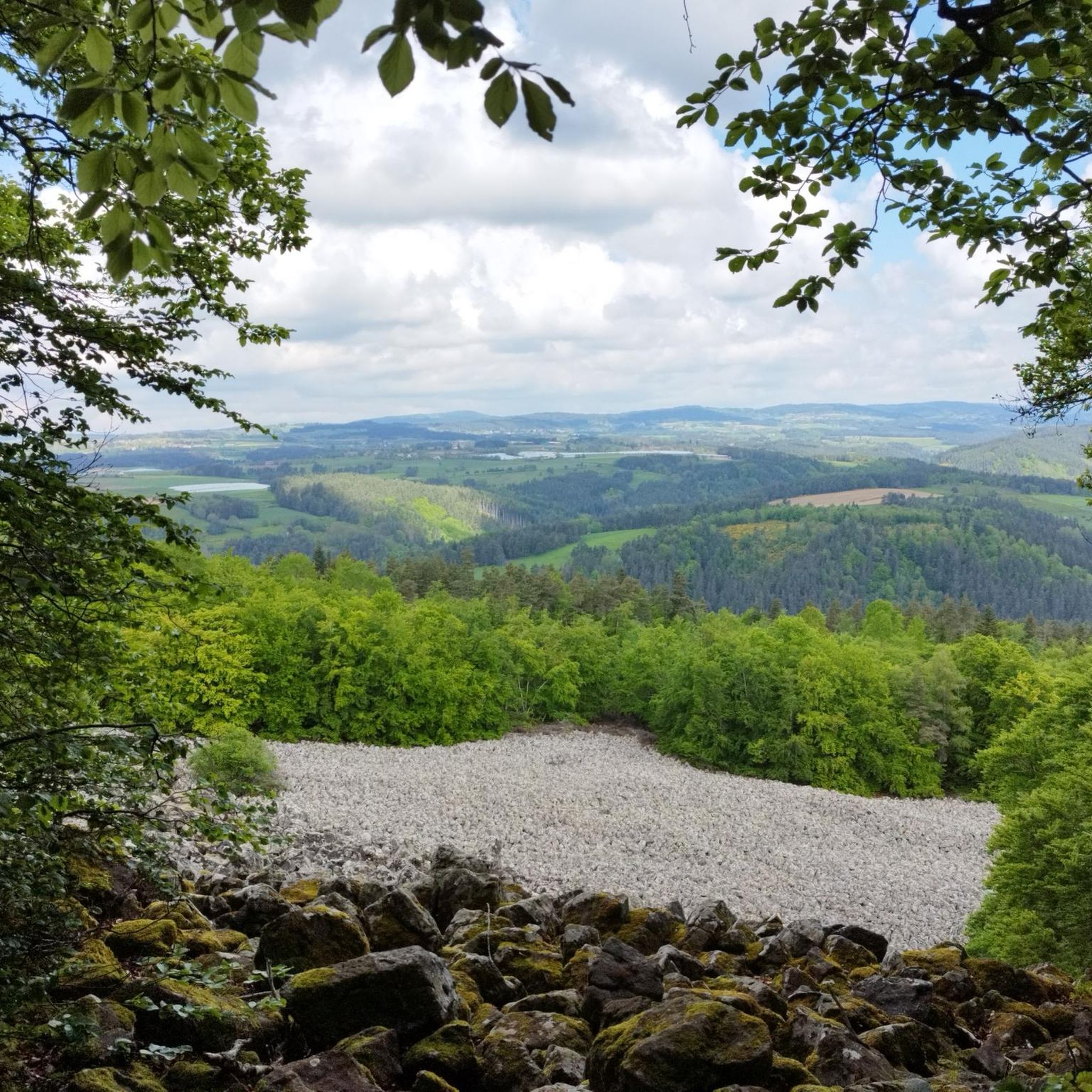
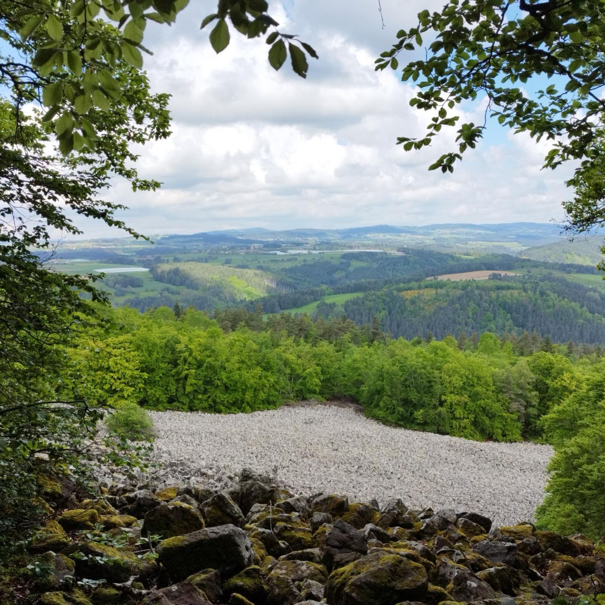
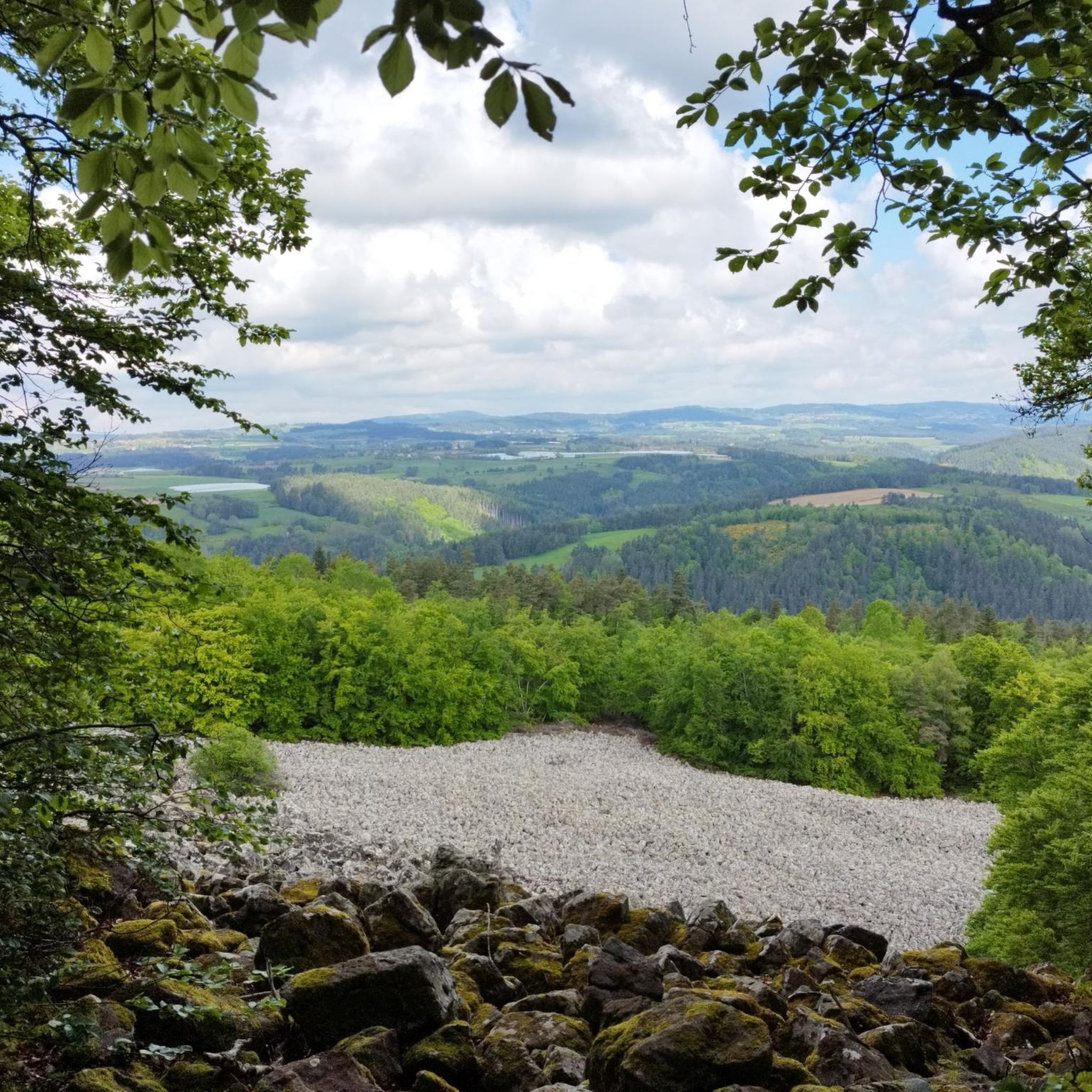
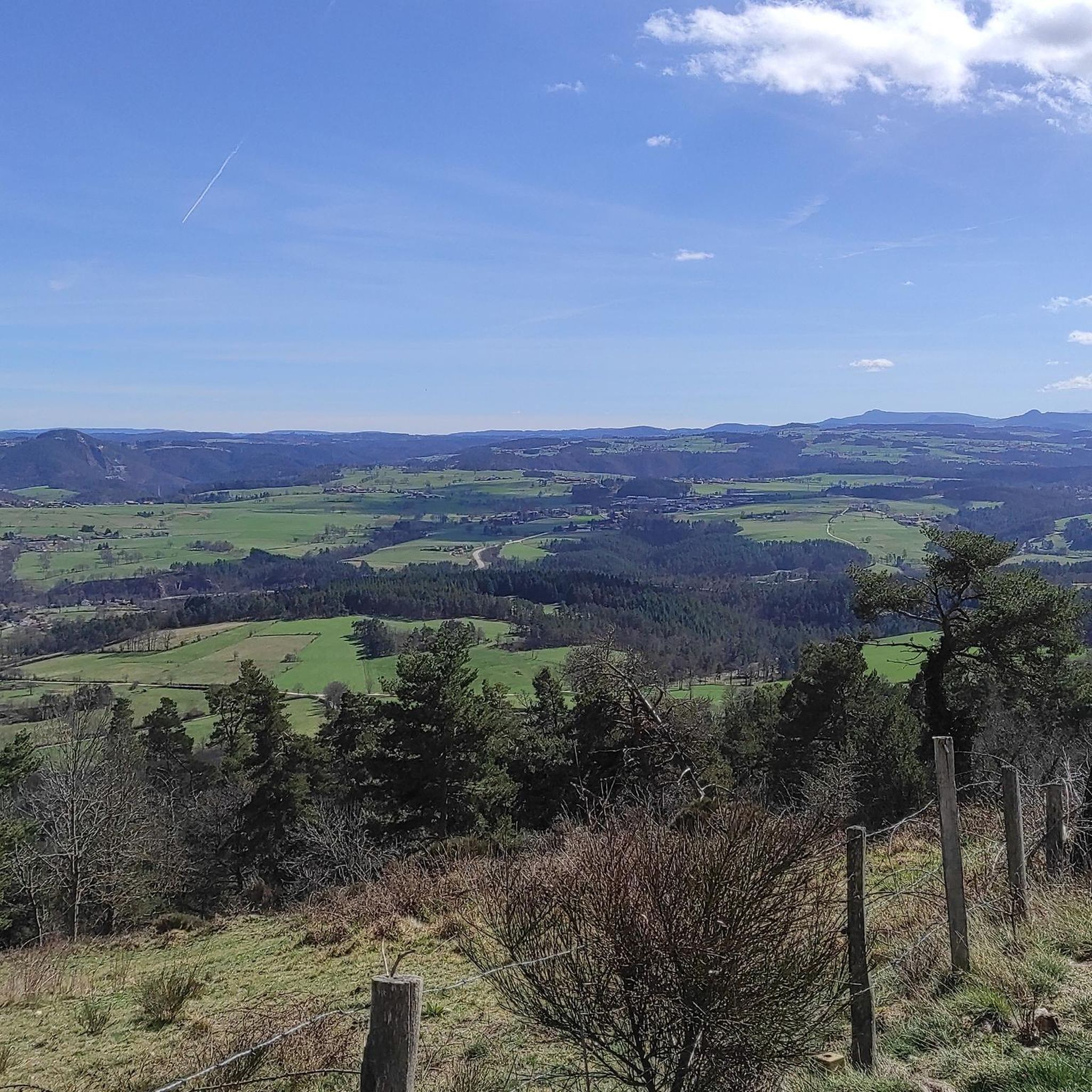
Roche-en-Régnier is a small village full of charm set on the heights of the Loire. Inhabited by an old fortress, today only an imposing keep remains. If you pass through the village, don’t hesitate to take a trip to the summit of Mont Miaune, thirty minutes from the village. The scenic view over the Loire Valley is exceptional!
0
0
The Ance is a direct tributary of the Loire. Taking its source in the Forez mountains at some 1,400 meters above sea level, it flows into the "wildest river in Europe" after a 77 kilometer run. Here, the Ance is bordered by the GR 3 path, famous for following the thread of the Loire.
0
0

Viewpoint, with picnic table and games for children.
1
0
One of the oldest baronies of Puy-en-Velay. An ancient castle dominated the village, of which today only an imposing keep remains.
1
0
Frequently Asked Questions
How many mountain bike trails are available around Saint-André-De-Chalencon?
There are over 50 mountain bike trails around Saint-André-De-Chalencon, offering a diverse range of options for riders. These routes vary in difficulty and length, allowing for different types of cycling experiences.
Are there mountain bike trails suitable for beginners or families in Saint-André-De-Chalencon?
Yes, while many routes are moderate, there is at least one easy mountain bike trail available. The varied terrain of the region, with its river valleys and forests, offers options that can be enjoyed by families looking for a less challenging ride. Always check the route details for specific difficulty ratings.
What kind of natural landscapes can I expect to see while mountain biking in this region?
Mountain biking around Saint-André-De-Chalencon allows you to explore diverse natural landscapes. You'll encounter significant altitude variations, ride through the Ance river valley, and traverse dense forests like the forest of Miaune. The region is also known for unique geological formations such as the 'coulée de lave de Bourianne' (Bourianne lava flow) with its impressive basaltic organs, and the scenic gorges of the Loire and Allier rivers.
Are there any historical landmarks or points of interest along the mountain bike routes?
Absolutely. The area is rich in history. You can ride past the ancient Pont du Diable over the Ance river, which is a picturesque point of interest. The Devil's Bridge – Chalencon loop from Boisset specifically offers views of the historic Château de Chalencon. Other nearby attractions include Château d'Artias and Valprivas.
What do other mountain bikers enjoy most about the trails in Saint-André-De-Chalencon?
The mountain bike trails in Saint-André-De-Chalencon are highly rated by the komoot community, with an average score of 4.6 stars from over 48 reviews. Riders often praise the varied terrain, the scenic river valleys, dense forests, and the presence of historical landmarks that make for an engaging and diverse riding experience.
Are there any circular mountain bike routes available?
Yes, many of the mountain bike routes in the area are designed as loops. For example, the Ponds Tour – Pont de Confolent loop from Le Pédible is a popular circular route exploring local pond systems. Another option is the Small dam loop from Charrées, which offers varied terrain and views of local water features.
What is the best time of year for mountain biking in Saint-André-De-Chalencon?
The region's climate generally makes spring, summer, and early autumn ideal for mountain biking. These seasons offer pleasant temperatures and typically drier trail conditions. While winter riding is possible, be prepared for colder weather and potentially muddy or icy sections, especially at higher elevations.
Can I bring my dog on the mountain bike trails?
While specific regulations for dogs on mountain bike trails can vary, generally, dogs are welcome on trails in the French countryside, especially if kept on a leash and under control. Always be mindful of local signage, livestock, and other trail users. It's advisable to check specific trail rules if available.
Where can I find parking for mountain bike trailheads?
Parking is typically available near the starting points of many routes in and around Saint-André-De-Chalencon. While specific parking areas are not detailed for every trail, villages and hamlets often provide public parking. It's recommended to check the route details on komoot for suggested starting points and potential parking information.
Are there any particularly challenging mountain bike routes for experienced riders?
Yes, out of the 56 available routes, 11 are classified as difficult, offering more challenging descents and climbs for experienced mountain bikers. The region's significant altitude variations, ranging from 549 meters to 969 meters, contribute to these more demanding trails. For example, the climb 'Saint Andre de Chalencon depuis Chalencon' is a notable ascent within the commune.
What is the longest mountain bike route in the area?
The longest route listed is the Ponds Tour – Pont de Confolent loop from Le Pédible, which spans 42.4 km (26.3 miles) and involves a significant elevation gain of over 870 meters, making it a substantial ride for those looking for a longer adventure.
Are there any routes that pass by lakes or other water features?
Yes, the Ponds Tour – Pont de Confolent loop from Le Pédible specifically explores local pond systems. Additionally, the Small dam loop from Charrées offers views of local water features. You might also encounter Le Bezan, a lake highlight in the vicinity.
Most popular routes around Saint-André-De-Chalencon
Most popular attractions around Saint-André-De-Chalencon

Get inspired with the komoot mobile app


Explore more
Browse the best MTB trails in other regions.
