The best mountain hikes around Schalkenmehren
5.0
(164)
746
hikers
8
hikes
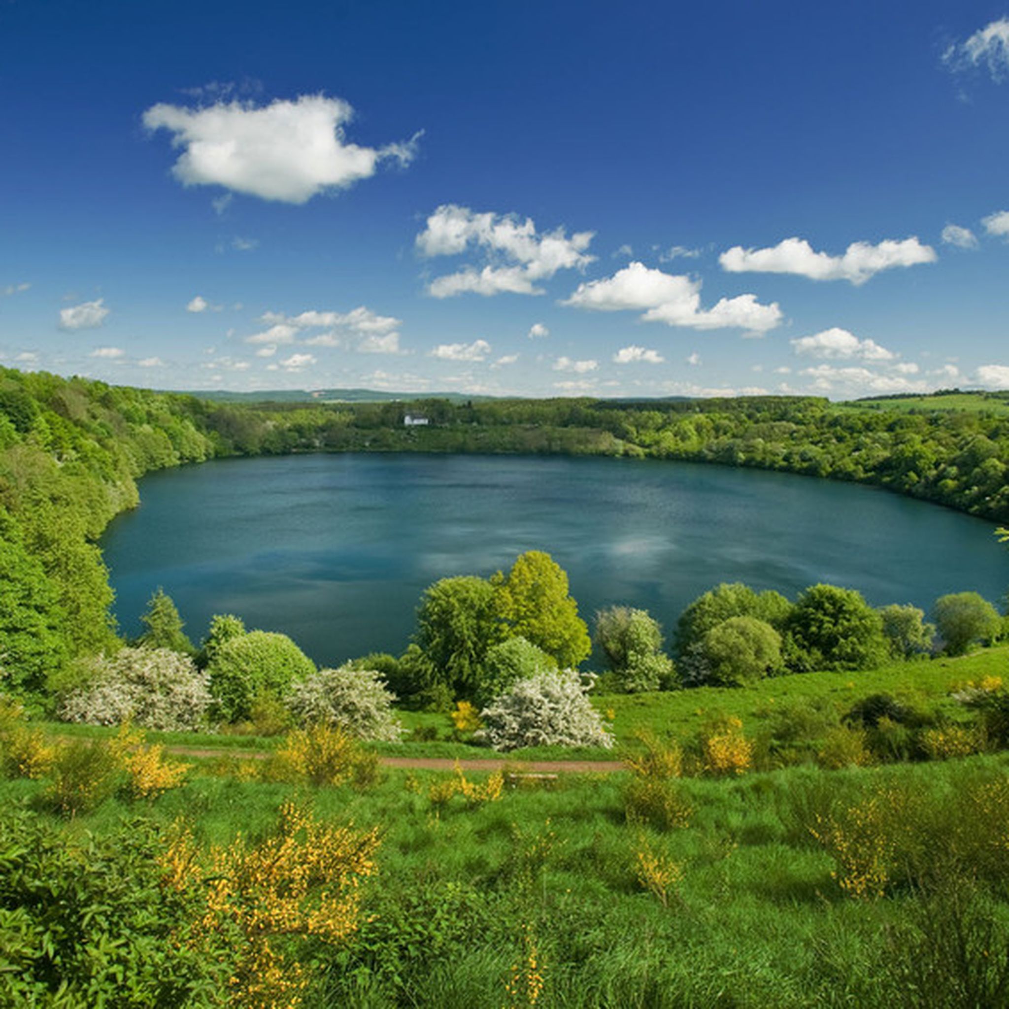
Mountaineering routes around Schalkenmehren traverse the distinctive volcanic landscape of the Eifel region, characterized by its unique "Maare" or volcanic crater lakes. The terrain features varied elevation changes, offering a mountain-like experience with challenging ascents and descents. This area is part of a UNESCO Global Geopark, showcasing its geological history through gentle hills and ancient volcanic formations. The routes often lead through dense woodlands and past significant natural features like the Schalkenmehrener Maar.
Best mountaineering routes around Schalkenmehren
- The most popular mountaineering route is Keep of Oberburg Castle loop from Manderscheid, a 2.6 miles (4.3 km) trail that takes 1 hour 38 minutes to complete. This route features significant elevation changes around the historic castle.
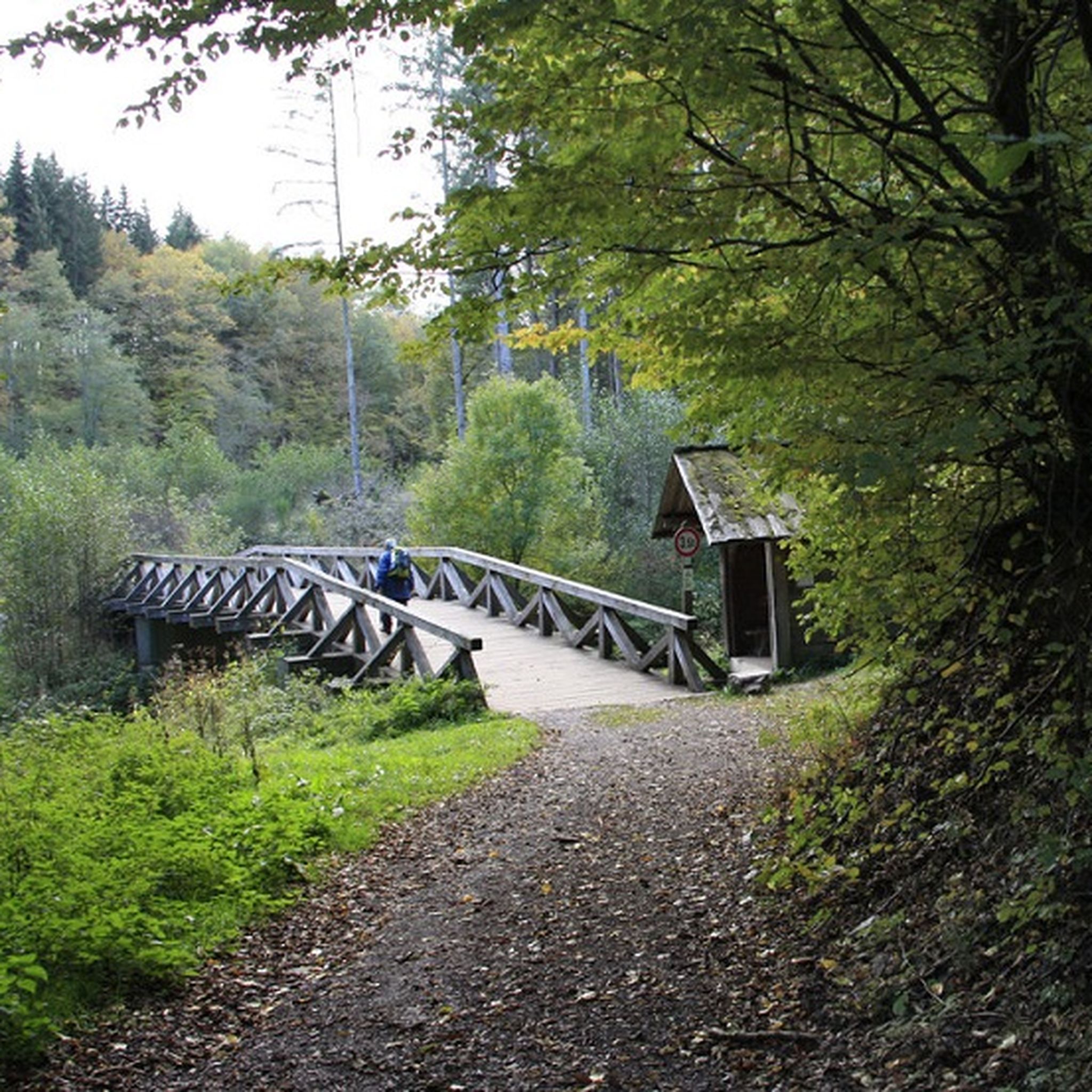
- Another top favourite among local mountaineers is Wäschebach Suspension Bridge loop from Manderscheid, a difficult 4.8 miles (7.7 km) path. This trail offers varied terrain and views of the Wäschebach Suspension Bridge.
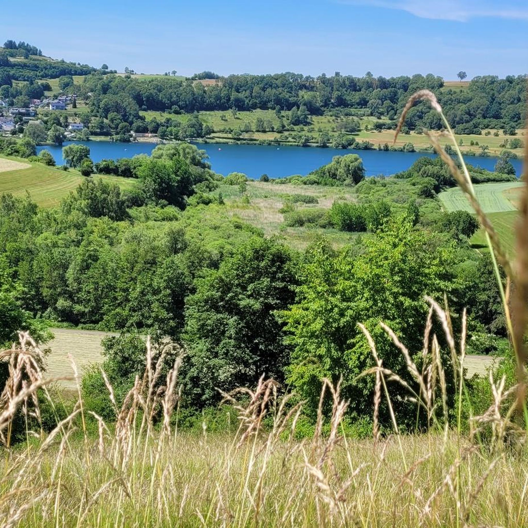
- Local mountaineers also love the View of the Gemündener Maar – Weinfelder Church loop from Schalkenmehren, a 5.2 miles (8.3 km) trail leading through volcanic crater lakes, often completed in about 2 hours 25 minutes.
- Mountaineering around Schalkenmehren is defined by volcanic crater lakes, varied elevation changes, and dense forests. The network offers options for different ability levels, including 1 easy, 5 moderate, and 4 difficult routes.
- The routes in Schalkenmehren are highly rated by the komoot community with an average score of 4.8 stars from over 148 reviews. More than 701 mountaineers have used komoot to explore Schalkenmehren's varied terrain.
Last updated: July 15, 2026
4.8
(152)
683
hikers
Hard mountaineering route. Great for any fitness level. Sure-footedness, sturdy shoes and alpine experience required.
5.0
(5)
24
hikers
Hard mountaineering route. Good fitness required. Sure-footedness, sturdy shoes and alpine experience required.

Sign up for free
5.0
(5)
23
hikers
Hard mountaineering route. Great for any fitness level. Sure-footedness, sturdy shoes and alpine experience required.
7
hikers
Hard mountaineering route. Great for any fitness level. Sure-footedness, sturdy shoes and alpine experience required.
5.0
(1)
3
hikers
8.31km
02:25
210m
220m
Moderate mountaineering route. Good fitness required. Easily-accessible paths. Suitable for all skill levels.
Get access to more routes and recommendations from other explorers.
Sign up for free
Already have an account?
Our route recommendations are based on thousands of hikes, rides, and runs completed by other people on komoot.
Start today with a free account
Your next adventure awaits.
Login or Signup
Popular around Schalkenmehren
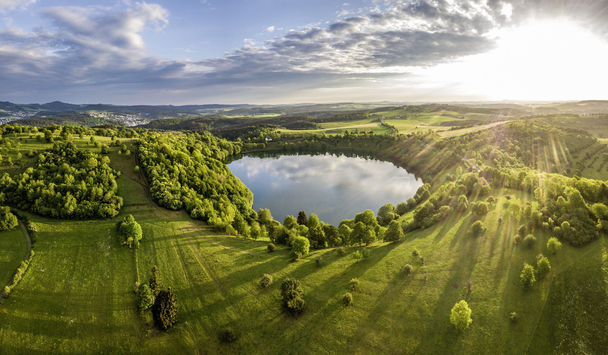
Germany’s Most Beautiful Hiking Trails in the Vulkaneifel
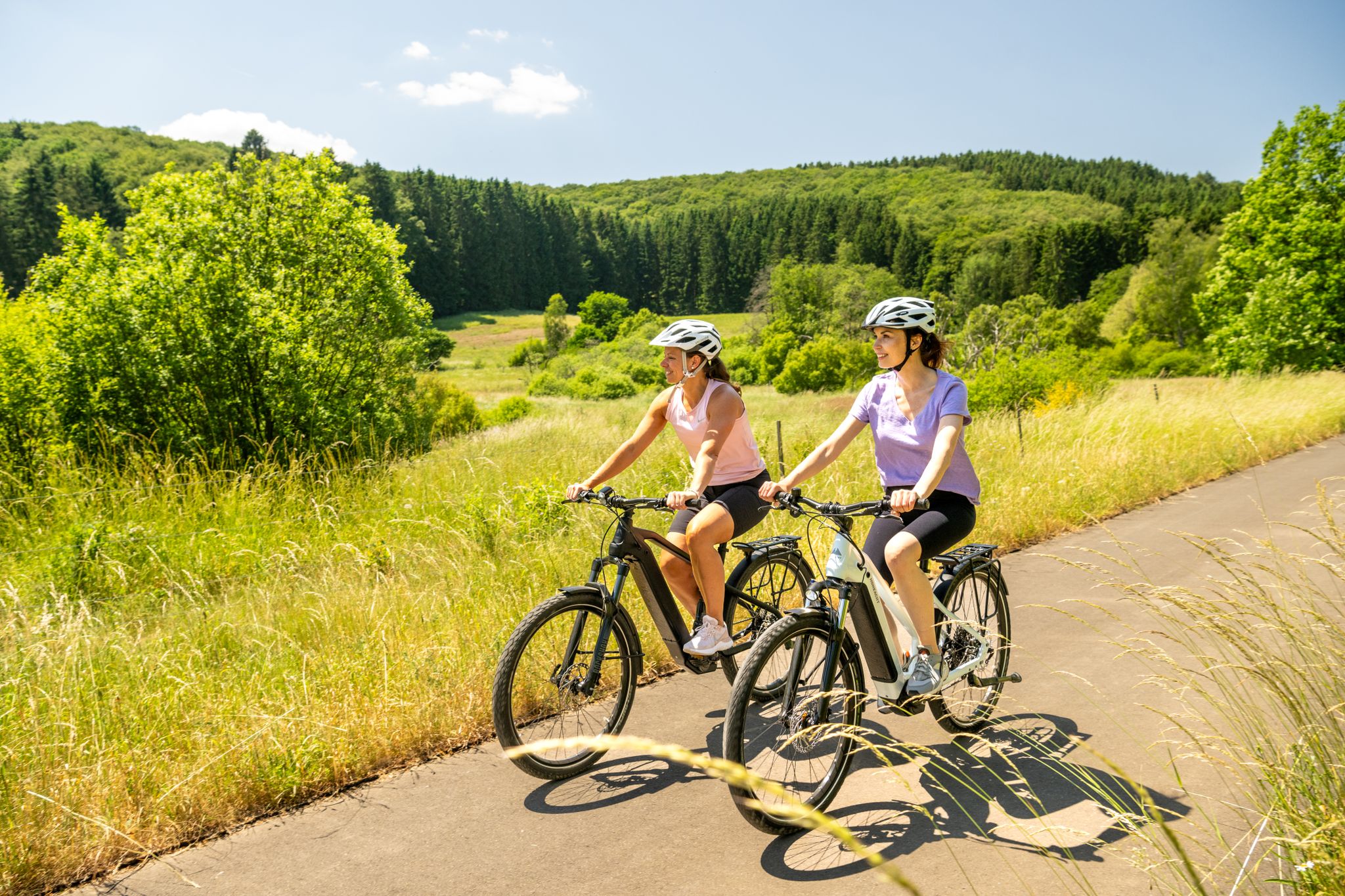
E-biking through the Volcanic Eifel

Excellent paths in the Vulkaneifel – Explore the HeimatSpuren
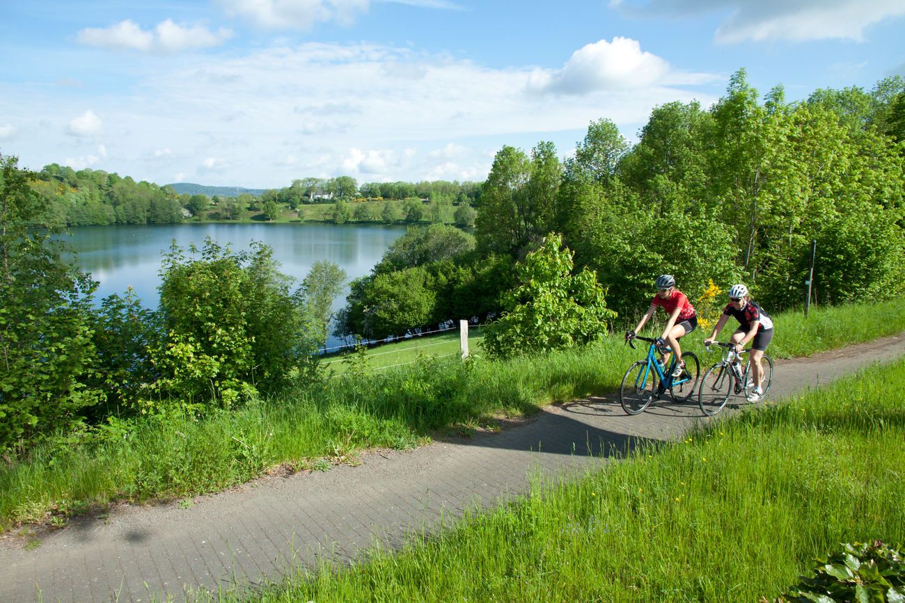
Discover Germany with the Tour in a motorhome and racing bike

Volcanoes, water, forest – the partner trails of the Eifelsteig
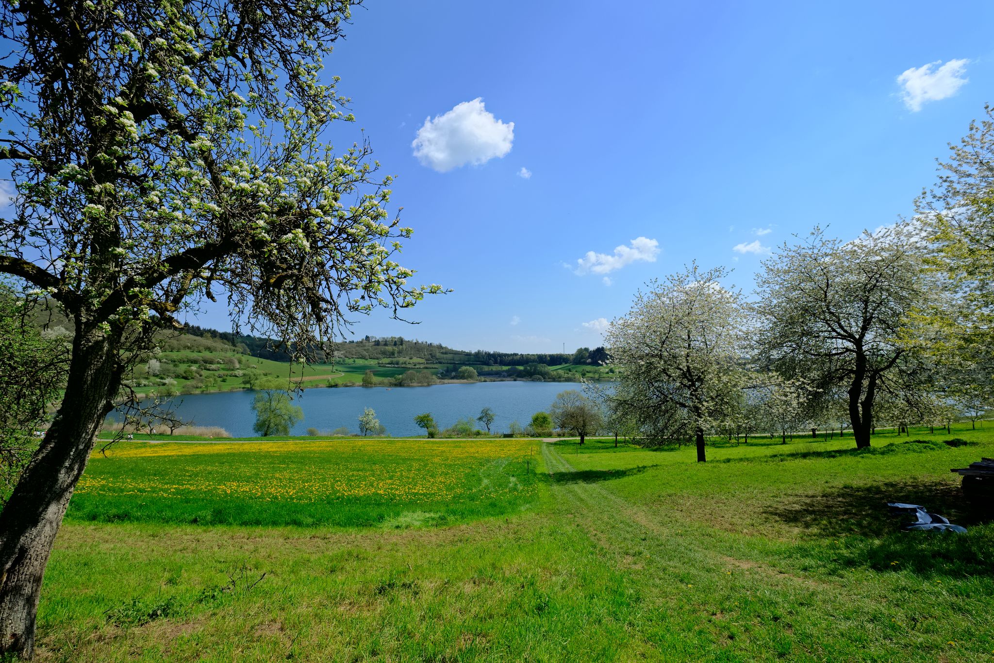
4 days of pure geological history — a tour through the Volcanic Eifel
Hiking around Schalkenmehren
Cycling around Schalkenmehren
MTB Trails around Schalkenmehren
Road Cycling Routes around Schalkenmehren
Other adventures around Schalkenmehren


Tips from the Community

…a great challenging via ferrata in 3 stages with difficulties A - D along above the Lieser
0
0

Very nice view of the entire town.
0
0
Behind the Daun ski lift begins the mining zone for volcanic rock near the Gemünden Maar.
0
0
Small ski lift (if there is a bit more snow in winter)
0
0

This is where real climbers come into their own. But that wasn't part of our route.
0
0

There are many wonderful plants to admire in and around the open-cast mine. Broom, lupins, clover...
0
0

A wonderful destination, ideal for hiking and cycling
1
1

Behind the Daun ski lift begins the mining zone of the volcanic rock near the Gemünden Maar.
1
0
Frequently Asked Questions
What types of mountaineering routes can I find around Schalkenmehren?
The Schalkenmehren area, part of the Volcanic Eifel, offers a diverse range of mountaineering routes characterized by significant elevation changes and varied terrain. You'll find paths leading through dense woodlands, past unique volcanic crater lakes (Maare), and to panoramic viewpoints. The network includes 1 easy, 5 moderate, and 4 difficult routes, providing options for various skill levels.
Are there any family-friendly mountaineering routes in Schalkenmehren?
Yes, there are routes suitable for families. While many trails feature challenging ascents and descents, there is at least one easy route available. For a shorter, less strenuous option that still offers a taste of the region's history, consider the Public Restroom at Tunierwiese – Keep of Oberburg Castle loop from Manderscheid. This 2.3 km route is rated difficult but is shorter and can be adapted for families looking for a manageable adventure.
Can I bring my dog on the mountaineering trails?
Many trails in the Volcanic Eifel region are dog-friendly, but it's always best to keep your dog on a leash, especially in nature reserves or areas with livestock. The varied terrain and elevation changes mean some paths can be steep or rocky, so ensure your dog is fit for the chosen route. Always carry enough water for both yourself and your pet.
Are there circular mountaineering routes available?
Yes, many of the mountaineering routes around Schalkenmehren are designed as circular loops, allowing you to start and end at the same point. For example, the Wäschebach Suspension Bridge – Keep of Oberburg Castle loop from Manderscheid is a 5.2 km circular route that offers varied terrain and scenic views.
What are the best viewpoints or natural features to see along the routes?
The region is famous for its 'Maare' or volcanic crater lakes, such as the Schalkenmehrener Maar, which is a prominent feature. Many routes offer stunning views over these lakes and the surrounding Eifel landscape. The Dronke Tower on Mäuseberg is a notable viewpoint offering panoramic vistas. You can also explore unique geological formations and dense forests. For a specific highlight, consider visiting the Millstone Cave at Nerother Kopf, which is part of the nearby 'Caves around Schalkenmehren' guide.
What is the best time of year for mountaineering in Schalkenmehren?
The Volcanic Eifel is beautiful year-round, but spring (April-May) and autumn (September-October) are particularly popular for mountaineering. During these seasons, the weather is generally mild, and the landscapes are vibrant with blooming flowers or colorful foliage. Summer offers warmer temperatures, ideal for combining hikes with a swim in the Maare, while winter can provide a unique, quiet experience, though some paths might be slippery or require appropriate gear.
Are there any wild swimming spots near the mountaineering trails?
Yes, the region's defining 'Maare' (volcanic crater lakes) offer opportunities for swimming. The Schalkenmehrener Maar, located directly at the village, has a designated natural open-air swimming pool during summer. While not strictly 'wild' in all areas, these lakes provide a refreshing dip after a challenging hike. Always check local regulations for swimming in specific areas.
Where can I find parking for the mountaineering trails?
Parking is generally available at the starting points of many popular trails and in the villages like Schalkenmehren and Manderscheid. Look for designated parking areas near trailheads or town centers. Specific parking information for individual routes can often be found on komoot tour pages or local tourist information websites.
What do other mountaineers enjoy most about the routes in Schalkenmehren?
The mountaineering routes in Schalkenmehren are highly rated by the komoot community, with an average score of 4.8 stars from over 148 reviews. Reviewers often praise the unique volcanic landscape, the stunning views over the Maare, and the challenging yet rewarding ascents and descents that provide a true 'mountain-like' experience in the Eifel.
Are there any cafes or places to eat near the trails?
Yes, the villages in the Volcanic Eifel, such as Schalkenmehren and Manderscheid, offer various cafes, restaurants, and guesthouses where you can refuel after your mountaineering adventure. Many are conveniently located near popular trailheads or within easy reach of the routes.
Are there any hidden gems or less-known routes to explore?
While the main Maare trails are popular, the broader UNESCO Global Geopark Vulkaneifel offers numerous paths. Consider exploring sections of the Vulcano-Pfad, which leads through nature reserves like Mürmes, a re-naturalized maar, offering stunning views of former volcanic mountains and crater lakes away from the most frequented spots.
What kind of terrain should I expect on these routes?
Expect a varied terrain that reflects the region's volcanic origins. You'll encounter paths through dense forests, open fields, and significant elevation changes with both steep ascents and descents. The ground can range from well-maintained dirt paths to rocky sections, especially around viewpoints and crater rims. Sturdy footwear is highly recommended.
Most popular routes around Schalkenmehren
Most popular attractions around Schalkenmehren

Get inspired with the komoot mobile app


Explore more
Browse the best Mountain Hikes & Routes in other regions.
