The best running trails around Auzers
4.7
(7)
221
runners
52
runs
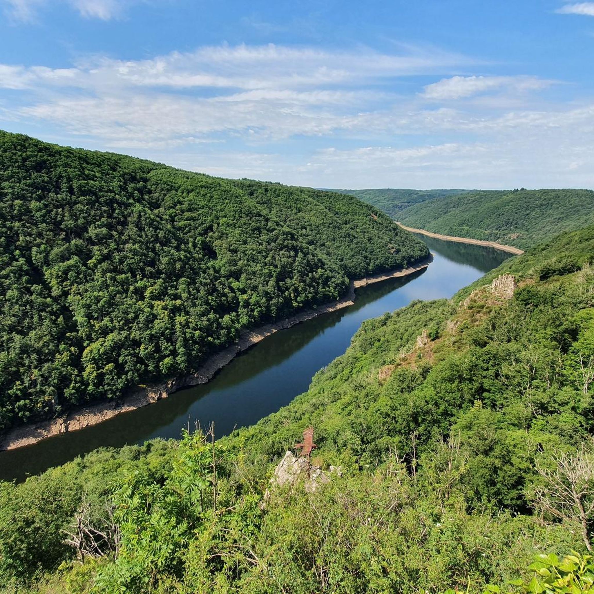
Jogging around Auzers offers diverse landscapes in the heart of the Auvergne-Rhône-Alpes region, set against the backdrop of the Massif Central. The area features rolling hills, lush woodlands, and varied terrain, with views of the Monts du Cantal. Runners can explore the peaceful Auvergne countryside, including paths along the Marilhou River and sections of the Greenway in Sumène-Artense. This region provides a mix of gentle greenways and more challenging paths suitable for various running preferences.
Best jogging routes around Auzers
…Last updated: June 29, 2026
14
runners
Hard run. Very good fitness required. Mostly paved surfaces. Suitable for all skill levels.
4.0
(1)
9
runners
9.29km
01:10
280m
280m
Moderate run. Good fitness required. Mostly paved surfaces. Suitable for all skill levels.

Sign up for free
4.0
(1)
7
runners
8.93km
01:10
280m
280m
Moderate run. Good fitness required. Mostly paved surfaces. Suitable for all skill levels.
5.0
(2)
7
runners
6.91km
00:46
90m
90m
Moderate run. Good fitness required. Mostly paved surfaces. Suitable for all skill levels.
7
runners
14.6km
01:34
140m
140m
Moderate run. Good fitness required. Mostly paved surfaces. Suitable for all skill levels.
Get access to more routes and recommendations from other explorers.
Sign up for free
Already have an account?
Our route recommendations are based on thousands of hikes, rides, and runs completed by other people on komoot.
Start today with a free account
Your next adventure awaits.
Login or Signup

Tips from the Community

All asphalted greenway, which passes through the small village of Ydes. In the heart of the Massif Central, it extends over fourteen kilometers and connects Cheyssac to Parensol.
1
0
All asphalted greenway, which passes through the small village of Ydes. In the heart of the Massif Central, it extends over 14 kilometers and connects Cheyssac to Parensol.
3
0
Small village of medieval origin in Cantal, at the foot of the Puy of the same name. Beautiful old houses and remains of an old fortress.
2
0
Small quiet road along the Sumène river, between Ydes and Ydes Bourg.
1
0

Frequently Asked Questions
How many running routes are available around Auzers?
There are over 50 dedicated running routes around Auzers, catering to various fitness levels and preferences. These include a mix of easy, moderate, and difficult trails through the diverse landscapes of the Auvergne-Rhône-Alpes region.
What kind of terrain can I expect on running trails near Auzers?
The terrain around Auzers is quite varied, offering a peaceful Auvergne countryside experience. You can expect rolling hills, lush woodlands, and paths along the Marilhou River. Some routes, like the Greenway in Sumène-Artense – Greenway in Sumène-Artense loop from Bassignac, feature well-maintained, asphalted surfaces, while others will take you over more natural, unpaved paths with significant elevation changes, characteristic of the Massif Central.
Are there any easy or beginner-friendly running routes in Auzers?
Yes, Auzers offers a few easier options for beginners or those looking for a more relaxed run. While many routes are moderate, there are at least two designated easy trails. The Greenway in Sumène-Artense, for example, offers a relatively flat and well-maintained path, ideal for relaxed jogging, though some sections can be part of longer, more challenging loops.
Can I find circular running routes in the Auzers area?
Absolutely. Many of the running routes around Auzers are designed as loops, allowing you to start and finish in the same location. Examples include the Running loop from Saignes, which is a moderate 4.3-mile path, and the Chapelle de Saignes – Falaise de Chastel loop from Saignes, a 5.8-mile trail. The region also features routes like 'Le Tourmelou' and 'La petite Boucle' which are circular and offer varied landscapes.
Are there any scenic landmarks or natural features to see while jogging in Auzers?
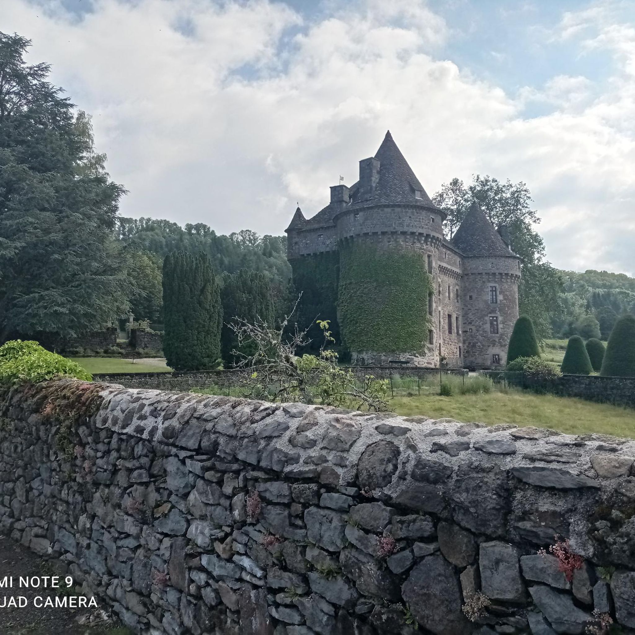
Yes, Auzers is rich in scenic landmarks and natural features. You can run past the impressive Château d'Auzers, a 14th-16th century castle, or incorporate the picturesque Salins Waterfall into your route for a dynamic jog. Other notable features include the Pont de Vernéjoux over the Dordogne River and a unique suspension bridge crossing Le Monzola through the forest.
What is the best season for running in Auzers?
Auzers experiences a mountain climate, making spring, summer, and early autumn ideal for running. During these seasons, you can enjoy pleasant temperatures and lush landscapes. The stunning views of the Monts du Cantal, including Puy du Sancy and Puy Mary, are particularly clear during these months. Winter running is possible but may require appropriate gear due to colder temperatures and potential snow.
What do other runners say about the trails in Auzers?
The running routes in Auzers are highly rated by the komoot community, with an average score of 4.7 stars from over 7 reviews. More than 200 runners have explored the area using komoot, often praising the varied terrain, peaceful Auvergne countryside, and the stunning views of the Monts du Cantal.
Are there any longer running routes for experienced runners in Auzers?
For experienced runners seeking a challenge, Auzers offers several longer and more difficult routes. The Greenway in Sumène-Artense – Greenway in Sumène-Artense loop from Bassignac is a difficult 12.0-mile (19.3 km) trail that takes approximately 2 hours to complete, traversing a well-maintained greenway. Other routes, like 'Le Tourmelou', also offer expansive distances and varied landscapes suitable for longer runs.
Can I combine running with exploring historical sites in Auzers?
Yes, Auzers offers a unique opportunity to combine physical activity with cultural discovery. Many running routes, such as those around the village, allow you to discover a rich historical heritage. You can pass by Romanesque churches, private castles, paved paths, calvaries, fountains, and traditional farms, including the magnificent Château d'Auzers.
Are there any greenways or paved paths suitable for running in Auzers?
Yes, the region features an asphalted 14-kilometer Greenway in Sumène-Artense, extending from Cheyssac to Parensol and passing through Ydes. This well-maintained path is ideal for relaxed jogging or cycling, offering a consistent surface for longer runs. You can find routes that incorporate sections of this greenway, such as the Greenway in Sumène-Artense – Village de Saignes loop from Saignes.
Are there running routes with panoramic views of the Monts du Cantal?
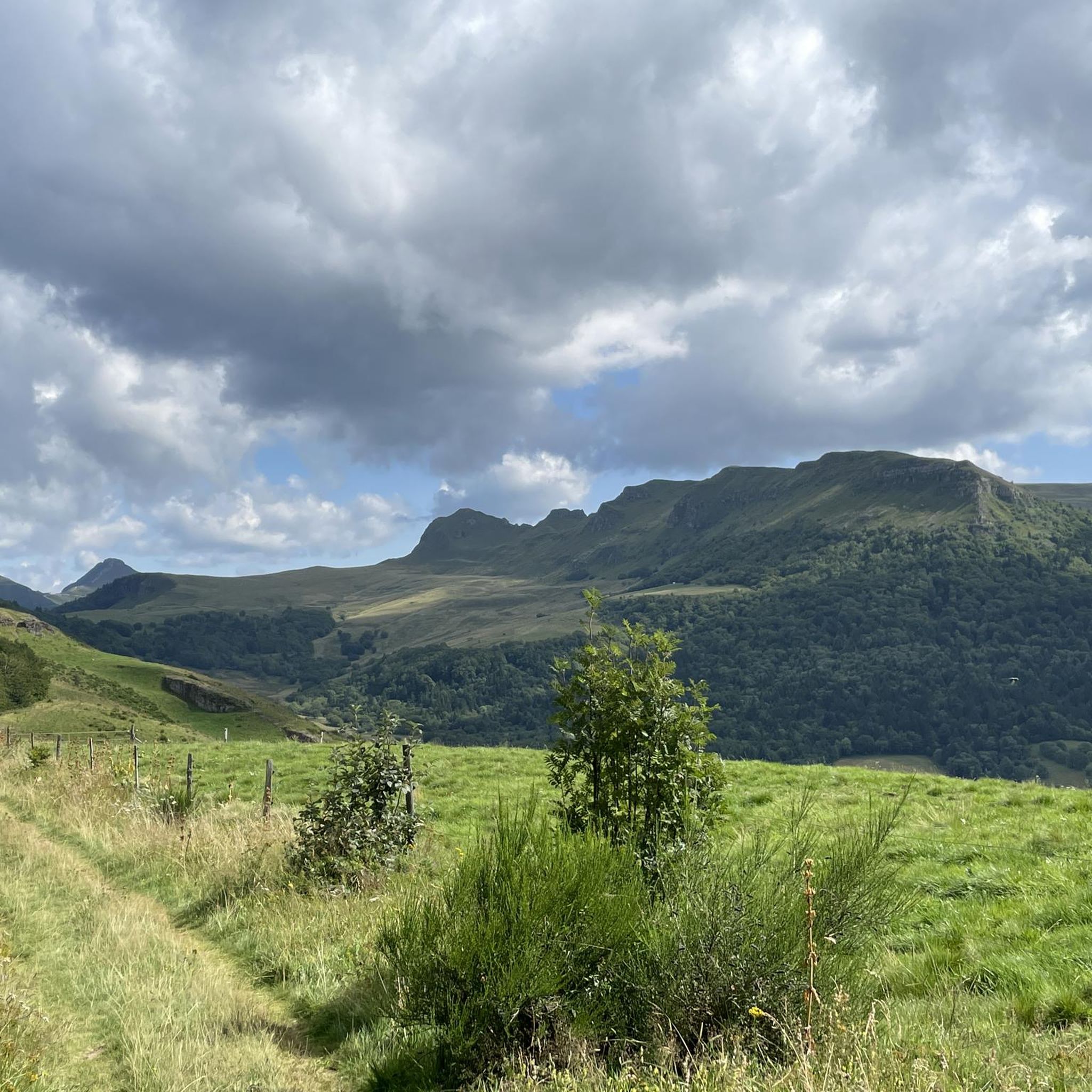
Many running routes in and around Auzers offer breathtaking panoramic views. Trails like 'Le Tourmelou' provide expansive vistas stretching to Corrèze, the Puy du Sancy, Puy Mary, and the wider Monts du Cantal. Even shorter routes, such as 'La petite Boucle', showcase stunning views of the Monts du Cantal, especially from shaded paths around the village.
Where can I find parking for running trails near Auzers?
While specific parking locations for every trailhead are not detailed, Auzers and its surrounding villages typically offer public parking areas. For routes starting in villages like Saignes or Bassignac, you can usually find parking within the village centers or near popular trailheads. It's advisable to check local signage upon arrival for designated parking spots.
Most popular attractions around Auzers

Get inspired with the komoot mobile app


Explore more
Browse the best Running Trails & Routes in other regions.
