The best walks and hikes around Veyrières
4.5
(108)
445
hikers
46
hikes
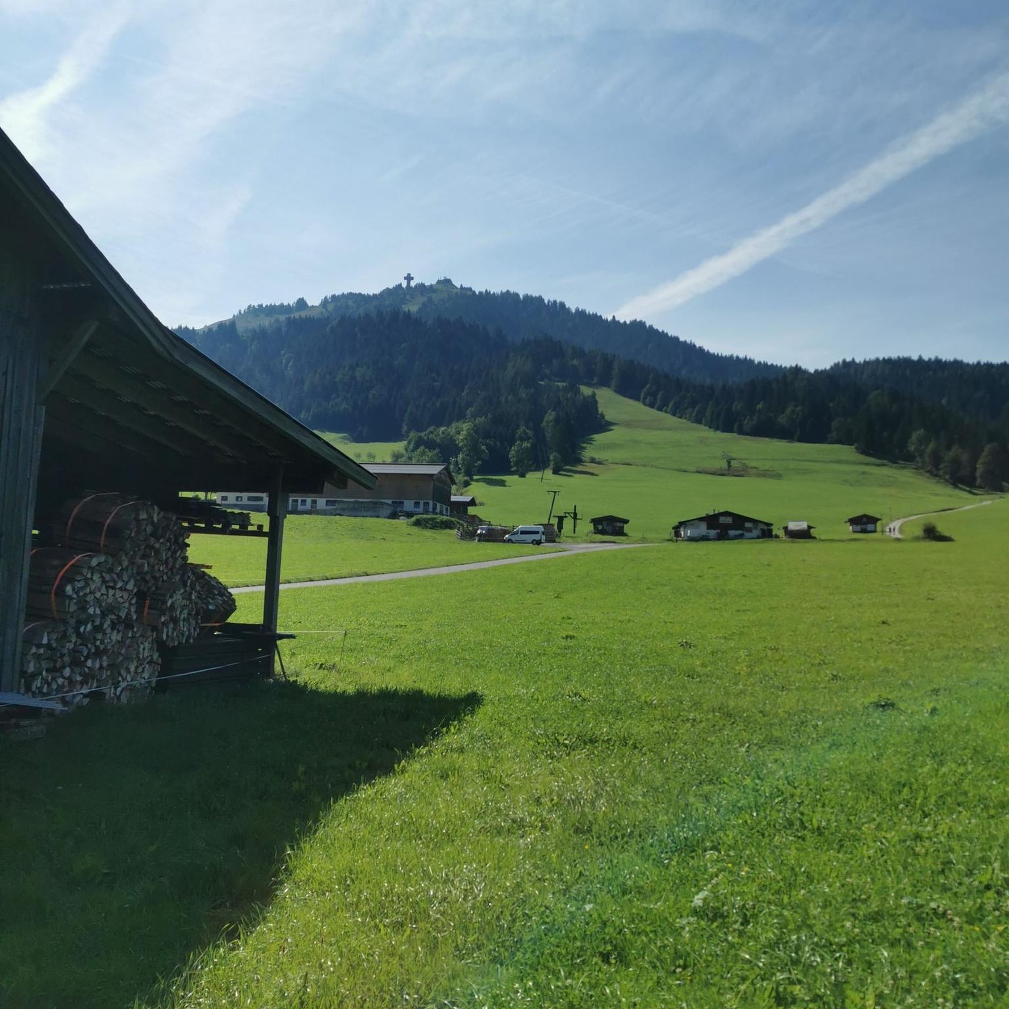
Hiking around Veyrières offers diverse terrain in the Cantal department of the Auvergne-Rhône-Alpes region of France. The landscape is characterized by the deep gorges of the Dordogne to the west and the Sumène valley to the south. Hikers can explore green forests, clear streams, and hills, with notable features like the Puy du Mas providing panoramic views of the Monts du Cantal and the Sancy mountain range.
Best hiking trails around Veyrières
- The most popular hiking route is View of…
Last updated: June 30, 2026
4.4
(7)
27
hikers
13.2km
03:57
350m
350m
Hard hike. Good fitness required. Sure-footedness, sturdy shoes and alpine experience required.
3.7
(3)
12
hikers
5.24km
01:42
220m
220m
Moderate hike. Great for any fitness level. Mostly accessible paths. Sure-footedness required.

Sign up for free
4.4
(5)
15
hikers
5.81km
01:33
60m
70m
Easy hike. Great for any fitness level. Easily-accessible paths. Suitable for all skill levels.
3
hikers
5.52km
01:35
140m
140m
Easy hike. Great for any fitness level. Easily-accessible paths. Suitable for all skill levels.
2
hikers
6.33km
01:49
160m
160m
Easy hike. Great for any fitness level. Easily-accessible paths. Suitable for all skill levels.
Get access to more routes and recommendations from other explorers.
Sign up for free
Already have an account?
Our route recommendations are based on thousands of hikes, rides, and runs completed by other people on komoot.
Start today with a free account
Your next adventure awaits.
Login or Signup



Tips from the Community

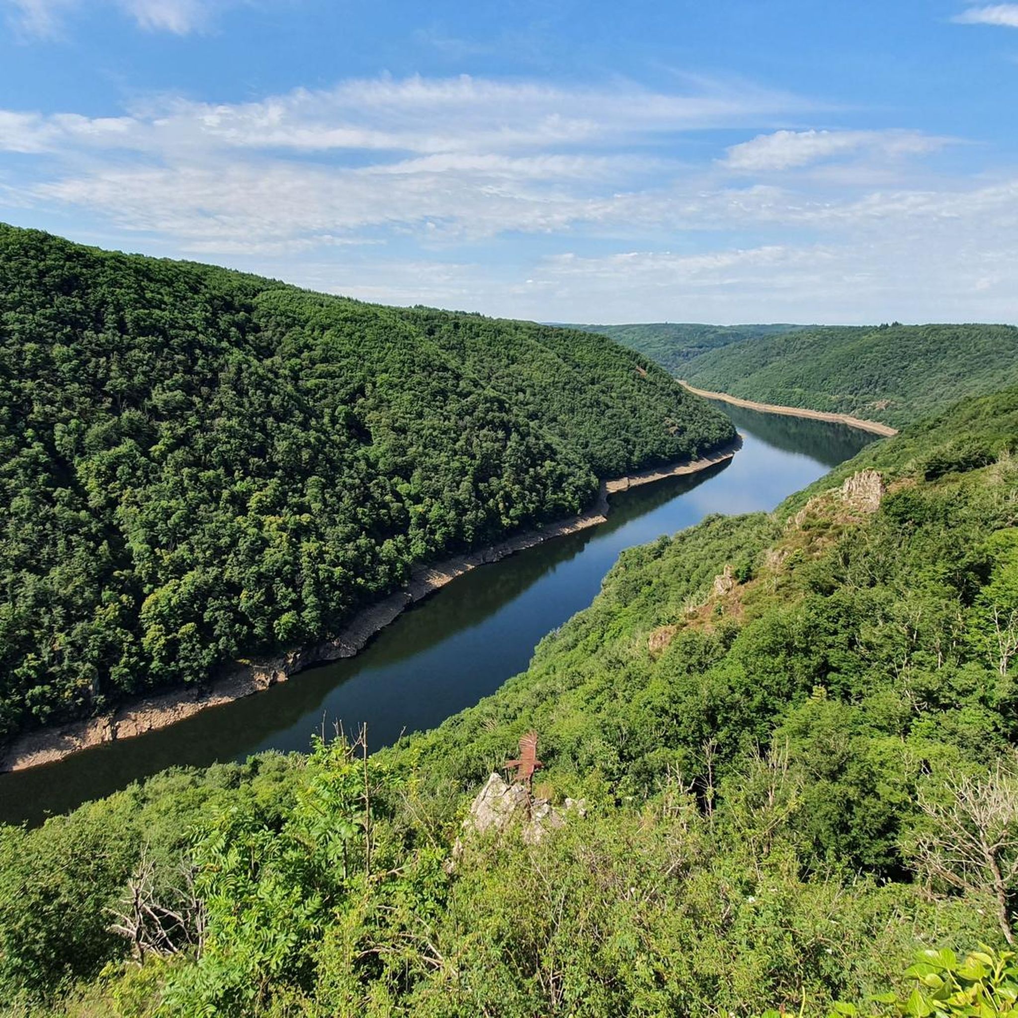
Beautiful view of Dordogne and Sumène
0
0
Frequently Asked Questions
How many hiking trails are available around Veyrières?
There are over 40 hiking trails around Veyrières, offering a variety of experiences for different skill levels. These routes explore the diverse landscapes of the Cantal department, from deep gorges to panoramic viewpoints.
Are there easy hiking options for beginners or families in Veyrières?
Yes, Veyrières offers many easy hiking trails suitable for beginners and families. With 26 easy routes available, you can find gentle paths through green forests and along clear streams. A good example is the View of the Monts du Cantal loop from Champagnac, which is an easy 3.6-mile (5.8 km) path offering scenic vistas.
What kind of terrain can I expect on the hiking trails in Veyrières?
The terrain around Veyrières is quite varied, characterized by the deep gorges of the Dordogne to the west and the Sumène valley to the south. You'll encounter green forests, clear streams, and hills, with some routes featuring more challenging ascents and descents. Many trails are well-maintained, but some can be rugged, especially in the gorge areas.
Are there any circular walks or loop trails in Veyrières?
Yes, many of the hiking routes around Veyrières are circular, allowing you to start and end at the same point. For instance, the View of the Massif Central loop from Sérandon is a popular 8.2-mile (13.2 km) trail, and the Gratte-Bruyères site – Gratte Bruyère Viewpoint loop from Clémensac offers a shorter 3.3-mile (5.2 km) option.
What are some notable landmarks or viewpoints to see while hiking in Veyrières?
Veyrières is rich in natural and historical landmarks. You can hike to the **Puy du Mas** for stunning panoramic views of the Monts du Cantal and the Sancy mountain range. Other significant viewpoints include the View of Lake Neuvic, Belvédère de Marèges overlooking the Dordogne gorges, and Belvédère de Gratte-Bruyère with views of the Dordogne and Sumène confluence. The 12th-century Église Sainte-Croix in the village center is also a point of interest.
Are there any attractions near the hiking trails in Veyrières?
Yes, several attractions are close to the hiking trails. You can visit the Neuvic Dam (Triouzoune Dam), or explore the Greenway in Sumène-Artense. The **Site de la Veyrie** offers pleasant walks along the riverbank and a magnificent viewpoint over the Peyrus rock. The **Barrage de Marèges**, a significant hydroelectric dam, is also worth seeing from its belvedere.
What do other hikers enjoy most about hiking in Veyrières?
The hiking experience in Veyrières is highly rated by the komoot community, with an average score of 4.5 stars from nearly 100 reviews. Hikers often praise the diverse terrain, the stunning panoramic views from spots like Puy du Mas, and the peaceful atmosphere of the green forests and clear streams. The variety of routes, from easy walks to more challenging ascents, is also frequently highlighted.
Is it possible to hike with dogs on the trails around Veyrières?
Generally, dogs are welcome on most hiking trails in the Veyrières region, especially on public footpaths. However, it's always recommended to keep your dog on a leash, particularly in areas with livestock or protected wildlife. Please be mindful of local regulations and ensure your dog's waste is properly disposed of.
What is the best time of year to go hiking in Veyrières?
The best time to go hiking in Veyrières is typically from spring through autumn (April to October). During these months, the weather is generally mild and pleasant, making for comfortable hiking conditions. Spring brings lush greenery and wildflowers, while autumn offers beautiful fall foliage. Winter hiking is possible but may require appropriate gear due to colder temperatures and potential snow, especially at higher elevations.
Are there any waterfalls to discover on hikes near Veyrières?
While the region is characterized by clear streams and gorges, the notable **Cascade de Liadouze** is within a reasonable distance, offering a beautiful natural feature to explore. Many local streams also create smaller cascades, especially after rainfall, adding to the scenic beauty of the trails.
Where can I find parking for hiking trails in Veyrières?
Parking is generally available at the starting points of many popular hiking trails and in the villages surrounding Veyrières. For specific routes, it's advisable to check the route details on komoot, as parking information is often provided there. Village centers and designated trailheads usually offer convenient access.
How long are the typical hikes around Veyrières?
The hikes around Veyrières vary significantly in length. You can find shorter, easy walks like the View of the Monts du Cantal loop from Champagnac, which is about 3.6 miles (5.8 km) and takes less than two hours. Longer, more challenging routes, such as the View of the Massif Central loop from Sérandon, can be over 8 miles (13 km) and take around four hours or more to complete.
Most popular routes around Veyrières
Most popular attractions around Veyrières

Get inspired with the komoot mobile app


Explore more
Browse the best Hikes in other regions.
