The best walks and hikes around Sourniac
4.6
(139)
765
hikers
38
hikes
Hiking around Sourniac offers diverse terrain across a volcanic plateau, providing views of the Monts du Cantal. The region features a mix of moors, gorges, valleys, and forests, shaped by rivers like the Dordogne. Hikers can explore paths alongside waterfalls and through varied geological formations, characteristic of south-central France.
Best hiking trails around Sourniac
- The most popular hiking route is Sourniac Castle – Playground loop from Sourniac, an easy 2.8 miles (4.6 km) trail that takes about 1 hour…
Last updated: June 29, 2026
3.7
(3)
12
hikers
5.24km
01:42
220m
220m
Moderate hike. Great for any fitness level. Mostly accessible paths. Sure-footedness required.
5
hikers
11.6km
03:41
440m
440m
Moderate hike. Good fitness required. Easily-accessible paths. Suitable for all skill levels.

Sign up for free
5
hikers
11.8km
03:16
200m
200m
Moderate hike. Good fitness required. Easily-accessible paths. Suitable for all skill levels.
5
hikers
4.58km
01:15
70m
70m
Easy hike. Great for any fitness level. Easily-accessible paths. Suitable for all skill levels.
5.0
(1)
7
hikers
4.92km
01:24
100m
100m
Easy hike. Great for any fitness level. Easily-accessible paths. Suitable for all skill levels.
Get access to more routes and recommendations from other explorers.
Sign up for free
Already have an account?
Our route recommendations are based on thousands of hikes, rides, and runs completed by other people on komoot.
Start today with a free account
Your next adventure awaits.
Login or Signup


Tips from the Community

Private, but nice to look at.
0
0

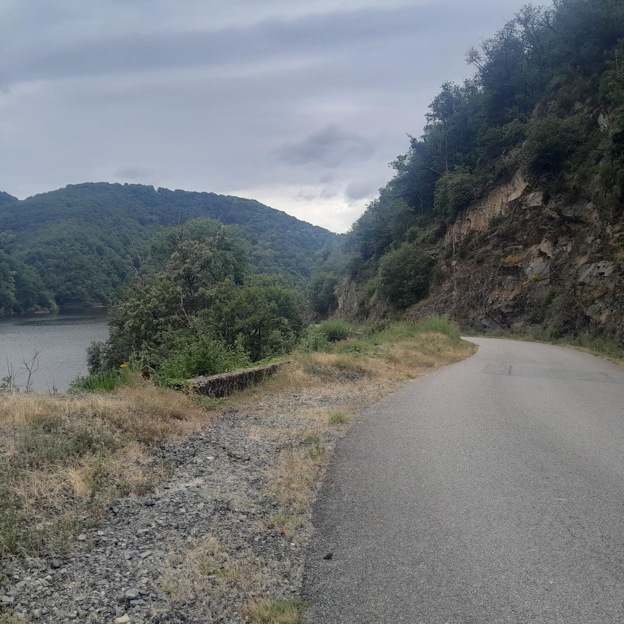
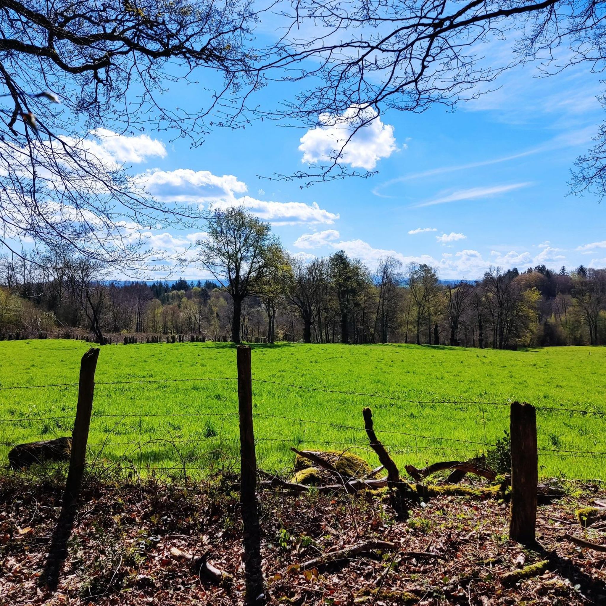
Beautiful view of Dordogne and Sumène
0
0
Frequently Asked Questions
How many hiking trails are available around Sourniac?
Sourniac offers a diverse network of nearly 40 hiking trails. These routes cater to various skill levels, including 16 easy, 19 moderate, and 3 more challenging options.
What kind of landscapes will I encounter while hiking in Sourniac?
Hiking in Sourniac will take you through a varied landscape shaped by its location on a volcanic plateau. You'll experience stunning views of the Monts du Cantal, including peaks like Puy Mary, as well as deep gorges, serene valleys, extensive forests, and open moors. The region is also influenced by rivers like the Dordogne, adding to its natural beauty.
Are there any circular hiking routes in Sourniac?
Yes, many trails around Sourniac are designed as loops. For example, the Playground – Sourniac Castle loop from Sourniac is a moderate 7.3-mile (11.8 km) path that circles the village, passing the historic Sourniac Castle. Another option is the Gratte-Bruyères site – Gratte Bruyère Viewpoint loop from Clémensac, a moderate 3.3-mile (5.2 km) route offering scenic views.
What natural features or landmarks can I see along the hiking trails?
The Sourniac area is rich in natural and historical landmarks. You can discover the picturesque Salins Waterfall, explore the unique Suspension bridge over Le Monzola, or admire the impressive Neuvic Dam (Triouzoune Dam) and The Barrage de l'Aigle. The region also features the private Chateau de Sourniac and the Romanesque Chapel Saint Amand, dating back to the 10th or 11th century, which can be seen on local trails.
Are there any easy hikes suitable for families or beginners?
Absolutely. Sourniac offers several easy routes perfect for families or those new to hiking. A great option is the Sourniac Castle – Playground loop from Sourniac, an easy 2.8-mile (4.6 km) trail that takes about 1 hour 15 minutes to complete, offering a gentle exploration of the local landscape.
What do other hikers enjoy most about hiking in Sourniac?
The hiking routes in Sourniac are highly rated by the komoot community, with an average score of 4.6 stars from over 100 reviews. Hikers often praise the diverse terrain, from volcanic plateaus to deep gorges, and the stunning views of the Monts du Cantal. The variety of trails, suitable for different abilities, is also frequently highlighted.
Can I find trails with good viewpoints in Sourniac?
Yes, the volcanic plateau setting of Sourniac provides numerous opportunities for scenic viewpoints. Many trails offer clear views of the Monts du Cantal, including prominent peaks like Puy Mary and Puy Griou. The Gratte-Bruyères site – Gratte Bruyère Viewpoint loop from Clémensac is specifically designed to lead to a notable viewpoint.
Are there any specific trails that pass by waterfalls?
Yes, the region around Sourniac is home to several waterfalls. The Salins Waterfall is a picturesque destination that can be reached via a hike, offering an initial steep ascent followed by an easier walk along the river. Other notable cascades in the vicinity include Cascade de Liadouze and Cascades de Gimel.
What is the best time of year to go hiking in Sourniac?
Sourniac offers enjoyable hiking experiences across multiple seasons. Spring and autumn provide pleasant temperatures and vibrant natural colors, while summer is ideal for exploring shaded forest trails and enjoying the longer daylight hours. The varied landscapes, from forests to moors, ensure there's always something beautiful to see.
Are there any long-distance or more challenging hikes available?
While Sourniac offers many easy and moderate options, there are also more challenging routes for experienced hikers. For instance, the New pont des dames – Brageac loop from Mauriac is a moderate 7.2-mile (11.6 km) trail with significant elevation gain, often completed in about 3 hours 40 minutes, leading through varied terrain.
Is there a marked hiking trail directly from Sourniac village?
Yes, Sourniac village itself is the starting point for a marked hiking trail of about 12 kilometers (approximately 7.5 miles). This route typically takes around 3 hours to complete and allows hikers to discover local heritage elements like the private Chateau de Sourniac and the Romanesque Chapel Saint Amand, alongside the natural beauty of the area. More details can be found on the local tourism website: Randonnée pédestre Sourniac 12 km.
Most popular attractions around Sourniac

Get inspired with the komoot mobile app


Explore more
Browse the best Hikes in other regions.
