The best mountain hikes around Böllenborn
5.0
(14)
47
hikers
6
hikes
Mountaineering around Böllenborn is situated within the Palatinate Forest and the Wasgau region, offering a robust outdoor experience. The landscape is characterized by dense forests, rolling hills, and notable red sandstone formations, providing varied terrain for challenging routes. This area blends picturesque vineyards with nature reserves, creating diverse natural features for exploration. The hilly terrain and proximity to the French border enhance the appeal for those seeking strenuous outdoor activities.
Best mountaineering routes around Böllenborn
- The most popular mountaineering route…
Last updated: October 9, 2026
4.8
(5)
11
hikers
12.7km
03:38
300m
300m
Moderate mountaineering route. Good fitness required. Easily-accessible paths. Suitable for all skill levels.
5.0
(1)
5
hikers
9.77km
03:13
350m
350m
Moderate mountaineering route. Good fitness required. Mostly accessible paths. Sure-footedness required.

4
hikers
6.49km
02:11
250m
250m
Moderate mountaineering route. Good fitness required. Mostly accessible paths. Sure-footedness required.
5.0
(1)
11
hikers
9.81km
03:27
370m
370m
Moderate mountaineering route. Good fitness required. Mostly accessible paths. Sure-footedness required.
5.0
(2)
6
hikers
Moderate mountaineering route. Good fitness required. Easily-accessible paths. Suitable for all skill levels.
Our route recommendations are based on thousands of hikes, rides, and runs completed by other people on komoot.
Start today with a free account
Your next adventure awaits.
Tips from the Community

The Dimbacher Buntsandstein Höhenweg is an approximately 9.5 km long premium circular hiking trail in the Pfälzerwald, which leads past the striking Isselmannsteine, among other things.
2
0
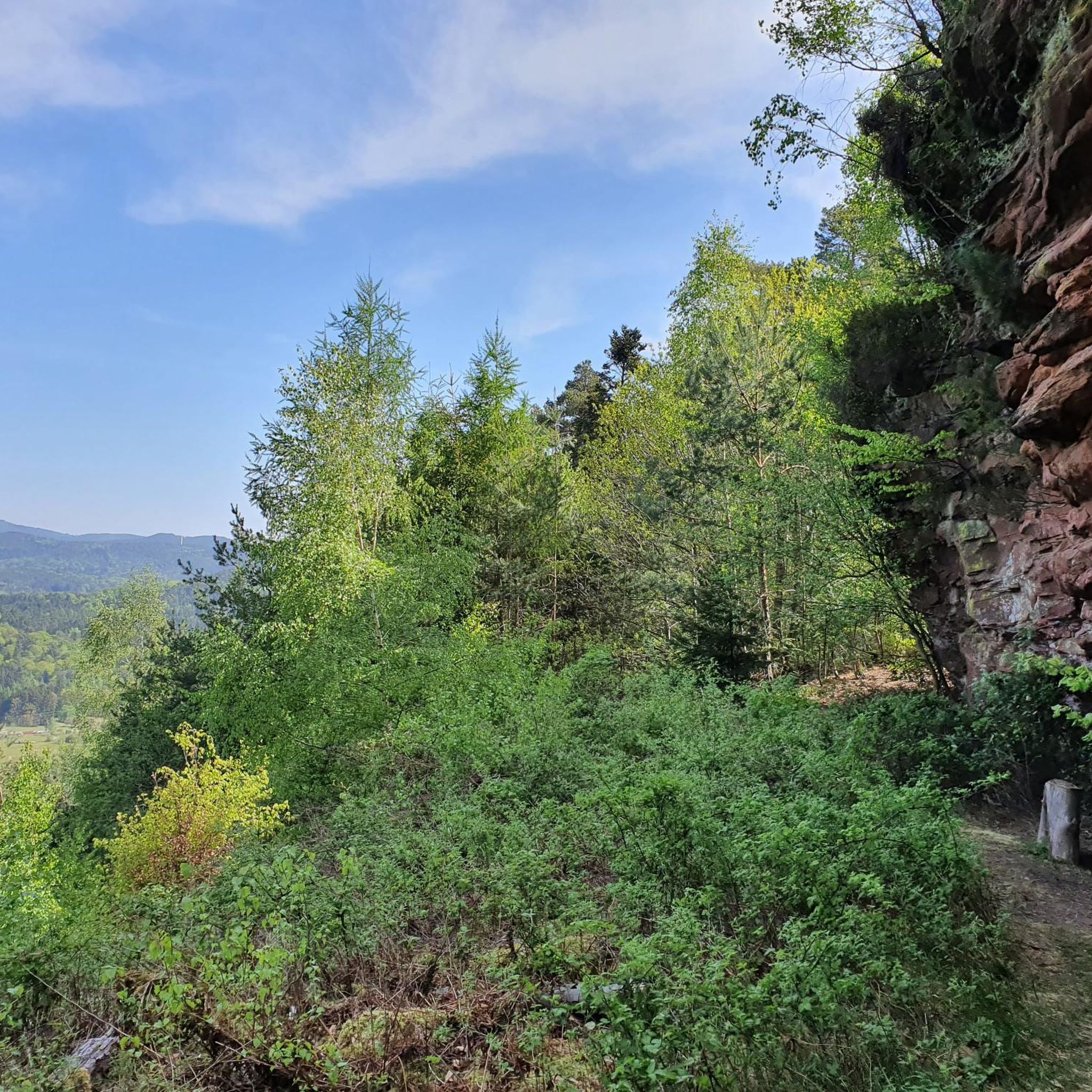
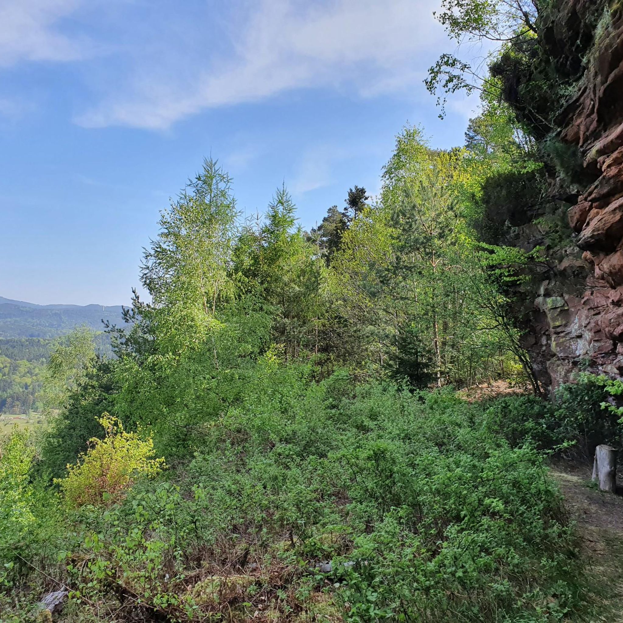
From the summit and rock ledge of the Dimberg (420 m) on the Dimbacher Buntsandstein-Höhenweg, you can enjoy a magnificent, deep view into the valley, onto the village of Dimbach, and to the northeast towards the striking Geiersteine.
3
0

Good starting point for the tour. Shady and free (as of 2026) parking spaces.
0
0

Since parking in Nothweiler (exception: visitor parking lot of the visitor mine) is prohibited almost everywhere in the village, this visitor parking lot is very well suited as a starting point (for hikes to Wegelnburg, to Fleckenstein Castle ruins or for the German-French premium hiking trail "Grenzgängerweg").
1
0

And we owe it to the formation of the Alps... they press down on the Earth's crust, which couldn't withstand the pressure... and broke apart and was pushed upwards.
7
0

You can see it from the reddish sheaf: these rocks consist, among other things, of Dandstein, a legacy of the Ice Age.
5
0

Beautiful resting place right next to a sandstone cliff, and right next to it is the shaving area for elves (with power socket!).
5
0
This magnificent rock formation is reached via a path marked "difficult" as part of the Bärensteig trail. The trail is easily manageable, though "difficult" probably only because the path is somewhat steep in places.
7
0
Frequently Asked Questions
How many mountaineering routes are available around Böllenborn?
There are several mountaineering routes around Böllenborn, with komoot featuring 8 distinct tours. These routes offer a range of experiences within the Palatinate Forest and Wasgau region.
Are there any easy or moderate mountaineering routes for beginners?
While mountaineering in Böllenborn generally offers a robust outdoor experience, there are moderate options suitable for those looking for less strenuous climbs. For example, the Hoher Kopf Rock Formation – Dimbach Oak Spot loop from Dimbach is a moderate route that covers about 6.5 km.
What kind of landscapes can I expect on these routes?
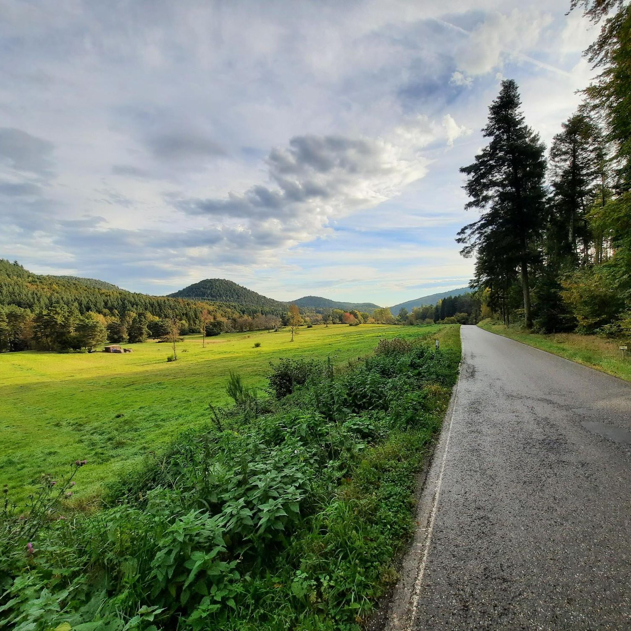
The routes around Böllenborn traverse a diverse landscape characterized by dense forests, rolling hills, and notable rock formations within the Palatinate Forest and Wasgau region. You'll also encounter picturesque vineyards and nature reserves, offering varied flora and fauna, especially beautiful during spring or autumn.
Are there any circular mountaineering routes in the area?
Yes, many of the mountaineering routes around Böllenborn are circular. For instance, the challenging Keeshäwel Rock Formation – Immersberg loop from Schwanheim is a popular circular tour. Another moderate option is the Railway Cliff – Napoleon Rock loop from Bruchweiler-Bärenbach.
What are some interesting viewpoints or landmarks along the mountaineering paths?
The region is rich in viewpoints and historic sites. You can find stunning panoramic views from the Rehberg Tower or the Kahlenberg. Historic landmarks include the ruins of Wegelnburg Castle, which you can explore on the View from Wegelnburg Castle – Hohenbourg Castle loop from Nothweiler.
What do other mountaineers say about the routes in Böllenborn?
The mountaineering routes in Böllenborn are highly regarded by the komoot community, with an average rating of 4.96 stars from over 15 reviews. Many mountaineers praise the varied terrain, the distinctive rock formations, and the dense Palatinate Forest sections.
Are there any places to stop for refreshments or food along the trails?
Yes, there are several huts and establishments where you can stop for refreshments. Options include the Hiking home "Dicke Eiche" (PWV Hauenstein), the Drachenfelshütte (PWV Busenberg), and the Cramerhaus Lindelbrunn Beer Garden.
What is the best time of year to go mountaineering in Böllenborn?
The region is beautiful year-round, but spring and autumn are particularly appealing. In spring, the vineyards are bright green, and in autumn, the falling leaves create picturesque scenery. The dense forests and clear air make it enjoyable in milder weather.
Are there any routes that feature unique rock formations?
Absolutely. The Palatinate Forest and Wasgau region are known for their distinctive rock formations. The Am Horn Rock Formation – Keeshäwel Rock Formation loop from Dimbach is a great example, offering views of these natural features.
Can I find family-friendly mountaineering options around Böllenborn?
While the mountaineering routes are generally robust, the broader Palatinate Forest offers trails suitable for families. For easier walks, look for paths along streams or through less challenging forest sections, though specific family-friendly mountaineering routes are not highlighted in this selection.
What are the typical durations for mountaineering routes in this area?
The duration of routes varies depending on their length and difficulty. For example, a moderate route like the View from Wegelnburg Castle – Hohenbourg Castle loop from Nothweiler typically takes around 3 hours 31 minutes, while more challenging tours can extend to nearly 6 hours.
Most popular routes around Böllenborn
Most popular attractions around Böllenborn

Get inspired with the komoot mobile app


Explore more
Browse the best Mountain Hikes & Routes in other regions.
