The best walks and hikes around Sainte-Anastasie
4.6
(194)
1,265
hikers
67
hikes
Hiking around Sainte-Anastasie offers diverse natural landscapes, characterized by the wild Gorges du Gardon where the river carves through limestone cliffs. The region features extensive areas of garrigue, providing numerous paths between hamlets. Wooded trails and crystalline rivers also contribute to the varied terrain. This area is recognized as a UNESCO Biosphere Reserve, offering a range of hiking experiences.
Best hiking trails around Sainte-Anastasie
- The most popular hiking route is Cheylat Waterfall loop from Chalinargues, a 8.9 miles (14.3…
Last updated: July 13, 2026
4.8
(6)
34
hikers
14.3km
04:06
330m
330m
Moderate hike. Good fitness required. Easily-accessible paths. Suitable for all skill levels.
4.9
(8)
36
hikers
17.6km
05:01
380m
380m
Hard hike. Very good fitness required. Mostly accessible paths. Sure-footedness required.

Sign up for free
5.0
(4)
12
hikers
9.16km
02:27
100m
100m
Moderate hike. Good fitness required. Easily-accessible paths. Suitable for all skill levels.
15
hikers
10.5km
02:55
180m
180m
Moderate hike. Good fitness required. Easily-accessible paths. Suitable for all skill levels.
3.5
(2)
12
hikers
3.38km
00:57
70m
70m
Easy hike. Great for any fitness level. Easily-accessible paths. Suitable for all skill levels.
Get access to more routes and recommendations from other explorers.
Sign up for free
Already have an account?
Our route recommendations are based on thousands of hikes, rides, and runs completed by other people on komoot.
Start today with a free account
Your next adventure awaits.
Login or Signup


Tips from the Community

Very beautiful route The Volcanoes
0
0


The riverside footpath is only recommended in dry weather. (Beware of lots of dog poop.)
1
0
The campsite 🏕️, starting point for interesting hikes.
1
0

The Lac du Pêcher is an artificial body of water at altitude (1142m), even if it itself comes from a peat bog. Its history is therefore rich. The place would have been cleared by the Templars and its name "Fishing" would have medieval origins which designates a body of water for fish farming. It is part of a classified natural area.
2
0

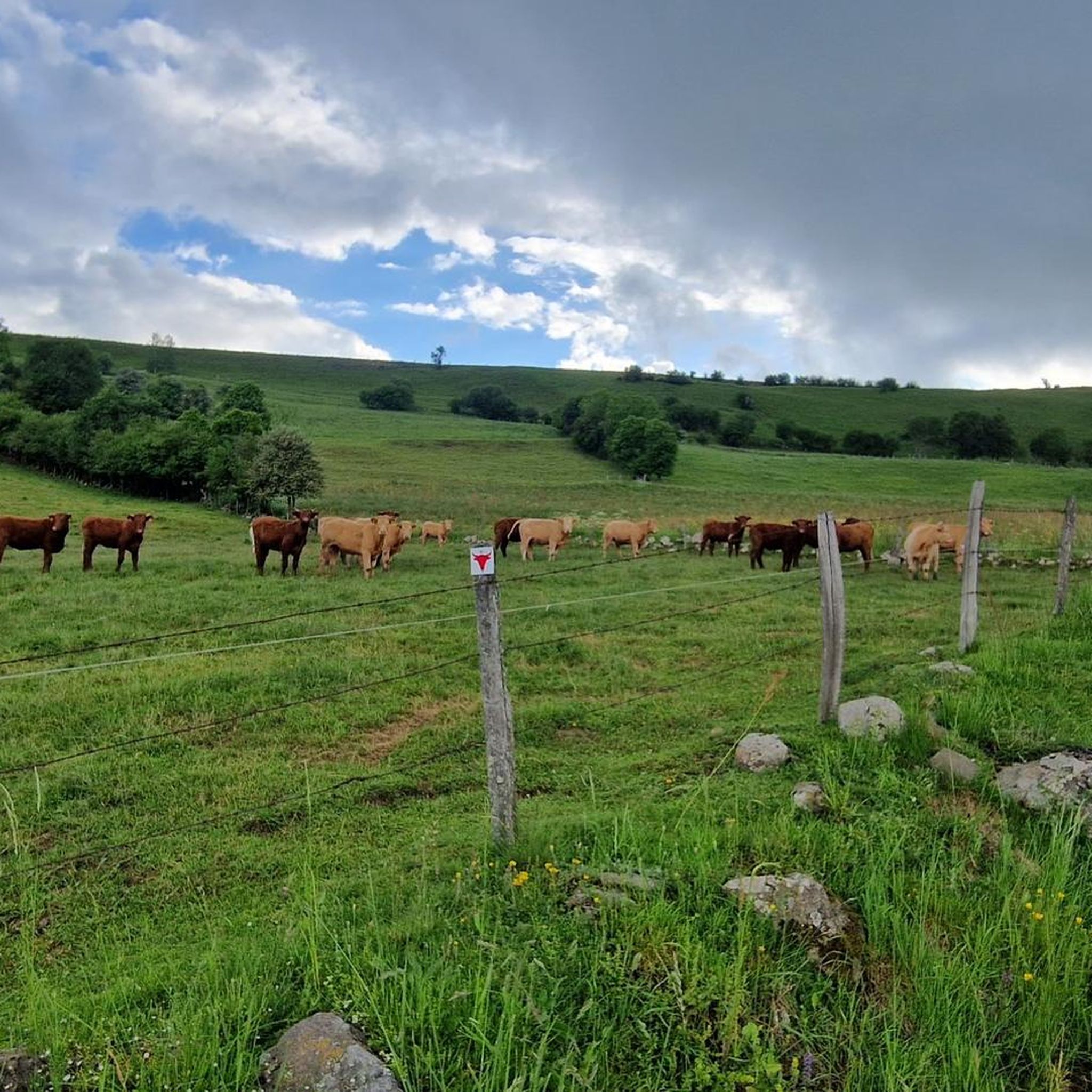
The path leads through the middle of lush grass next to the paddock.
1
0
Here you can get off your bike and greet the friendly four-legged friends with the soft noses.
0
0
Frequently Asked Questions
How many hiking trails are available around Sainte-Anastasie?
There are over 60 hiking routes available around Sainte-Anastasie, offering a wide range of experiences from easy strolls to more challenging treks. The area is highly regarded by the komoot community, with over 1000 hikers having explored its diverse terrain.
What kind of terrain can I expect on hikes in Sainte-Anastasie?
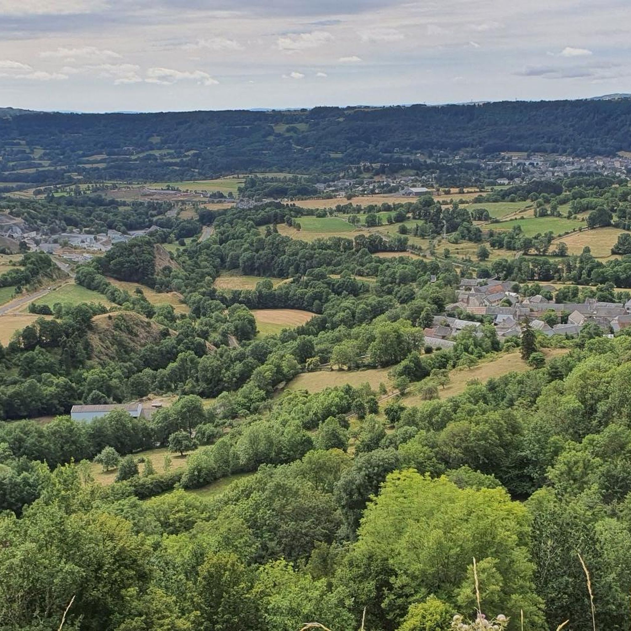
Hiking in Sainte-Anastasie offers diverse terrain, primarily defined by the wild Gorges du Gardon with its impressive limestone cliffs and river views. You'll also find extensive areas of garrigue, wooded paths, and trails that offer picturesque views of the Cévennes mountains, especially from areas like Russan.
Are there easy hiking trails suitable for beginners in Sainte-Anastasie?
Yes, Sainte-Anastasie offers 23 easy hiking routes perfect for beginners or those looking for a relaxed walk. These trails often wind through wooded areas or offer gentle paths between hamlets, allowing you to enjoy the natural beauty without significant effort.
Are there any challenging hikes for experienced trekkers in the area?
For experienced trekkers, there are 3 difficult routes available. One notable challenging option is the Cuzers Caves – Cheylat Waterfall loop from Neussargues, which is 10.9 miles (17.6 km) long and explores caves and leads to a waterfall, requiring good fitness due to steep climbs and rocky sections.
Can I find trails that feature waterfalls?
Yes, several trails in the region feature waterfalls. For example, the Cheylat Waterfall loop from Chalinargues is a moderate 8.9-mile (14.3 km) route that includes a scenic waterfall. You can also find the Cascade des Veyrines, a natural monument in the area.
Are there any hikes that lead to caves or interesting geological formations?
Absolutely. The region is known for its geological features. The Cuzers Caves – Cheylat Waterfall loop from Neussargues specifically explores caves. Additionally, the Gorges du Gardon, a UNESCO Biosphere Reserve, features impressive limestone cliffs and the notable Baume-Latrone Cave, which can be accessed via challenging routes.
What natural landmarks can I see while hiking in Sainte-Anastasie?
Hikers can explore several natural landmarks. The Gorges du Gardon is a central highlight, offering a wild canyon with limestone cliffs. You can also discover the Gorges of the Sianne, and various viewpoints offering picturesque views of the Cévennes mountains. The area also features unique flora along wooded paths like the 'Sentier des Châtaigniers'.
Are there any lakes or water features to explore on hikes?
Yes, the area around Sainte-Anastasie features beautiful lakes and water features. You can hike around the Lake du Pêcher or Lac Sauvage. The Fisherman's Lake – Lake du Pêcher loop from Cimetière de Mouret is a moderate route that takes you past these serene water bodies.
What do other hikers enjoy the most about hiking in Sainte-Anastasie?
The trails in Sainte-Anastasie are highly rated by the komoot community, with an average score of 4.6 stars from over 160 reviews. Hikers often praise the diverse natural landscapes, the stunning views of the Gorges du Gardon, and the variety of paths through garrigue and wooded areas.
Are there any circular walks available in Sainte-Anastasie?
Many of the trails in Sainte-Anastasie are designed as circular routes, allowing you to start and end at the same point. Examples include the Allanche loop from Allanche, a 6.2-mile (9.9 km) trail, and the Horses grazing by the wayside loop from Chalinargues, which is 10.5 km long.
When is the best time of year to go hiking in Sainte-Anastasie?
Sainte-Anastasie is an excellent destination for outdoor activities throughout much of the year. Spring and autumn generally offer the most pleasant temperatures for hiking, with vibrant flora in spring and beautiful colors in autumn. Summer can be warm, making early morning or late afternoon hikes ideal, especially along shaded paths or near water features.
Are there any family-friendly hiking options in Sainte-Anastasie?
Yes, with 23 easy routes, there are many family-friendly options. These trails are typically shorter and have less elevation gain, making them suitable for children. Look for paths through the garrigue or wooded areas for a pleasant family outing.
Most popular routes around Sainte-Anastasie
Most popular attractions around Sainte-Anastasie

Get inspired with the komoot mobile app


Explore more
Browse the best Hikes in other regions.
