The best mountain hikes around Knöringen
4.6
(8)
27
hikers
6
hikes
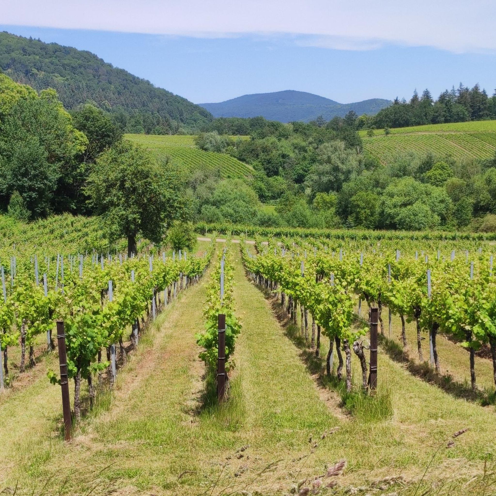
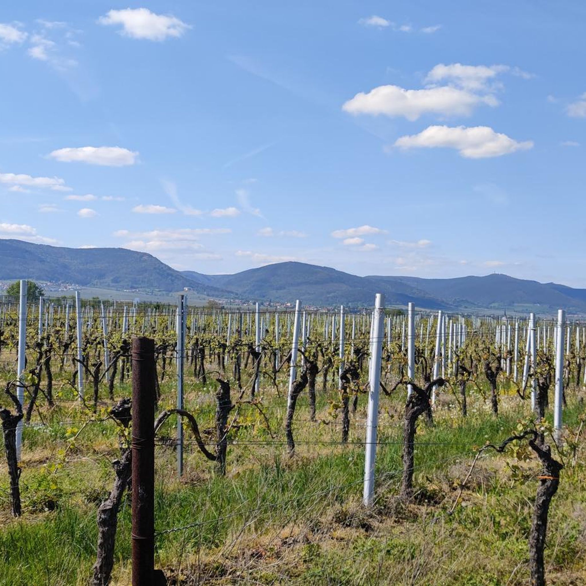
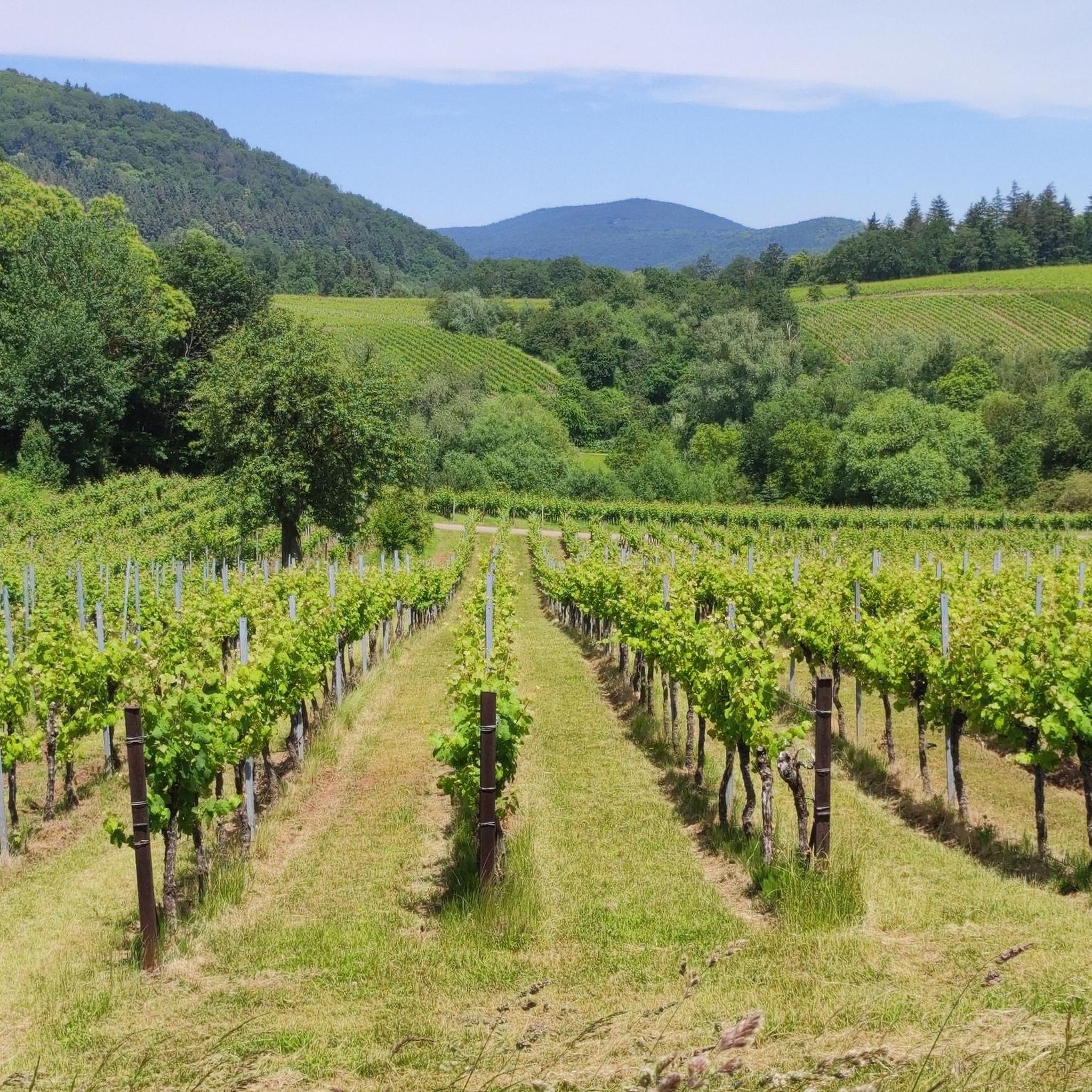
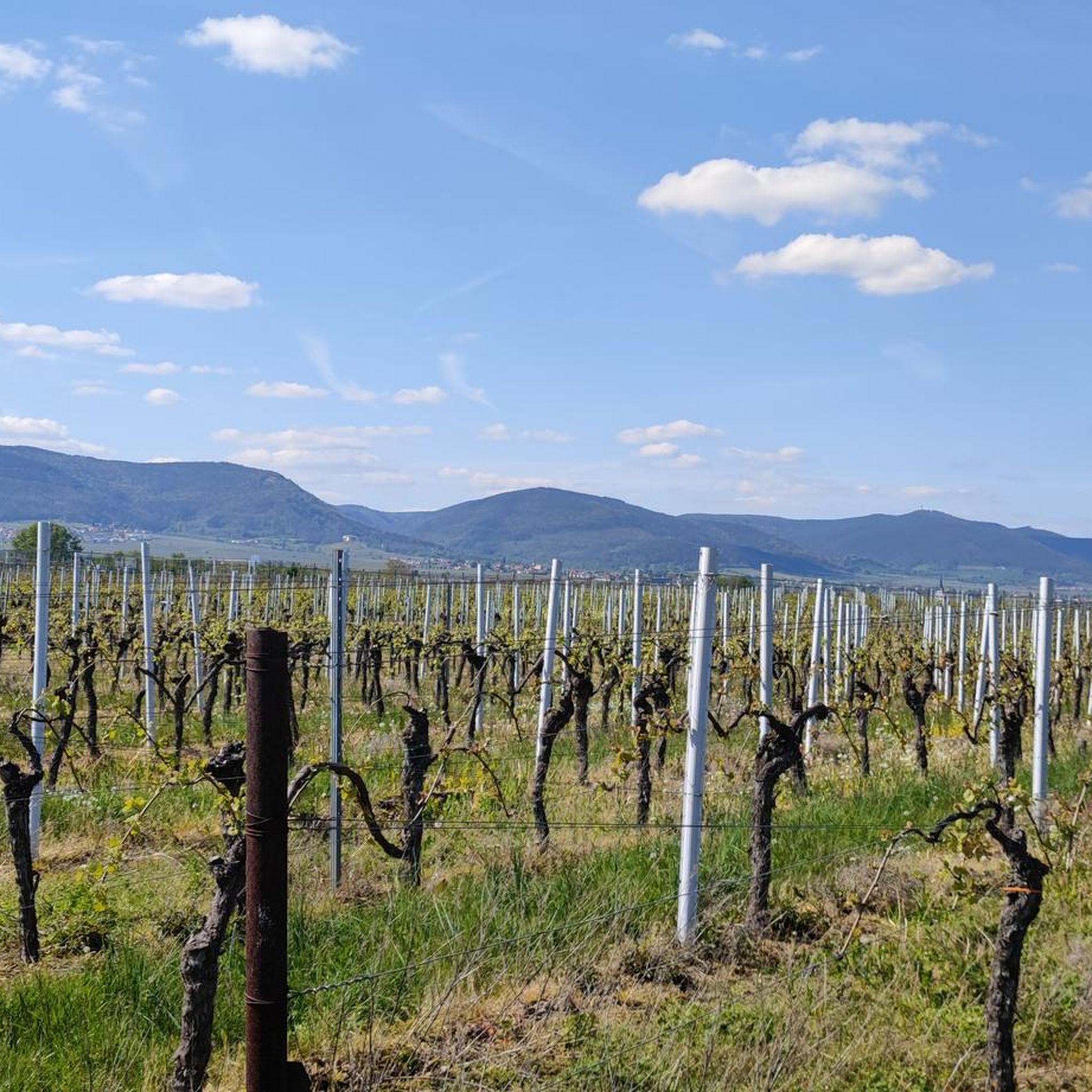
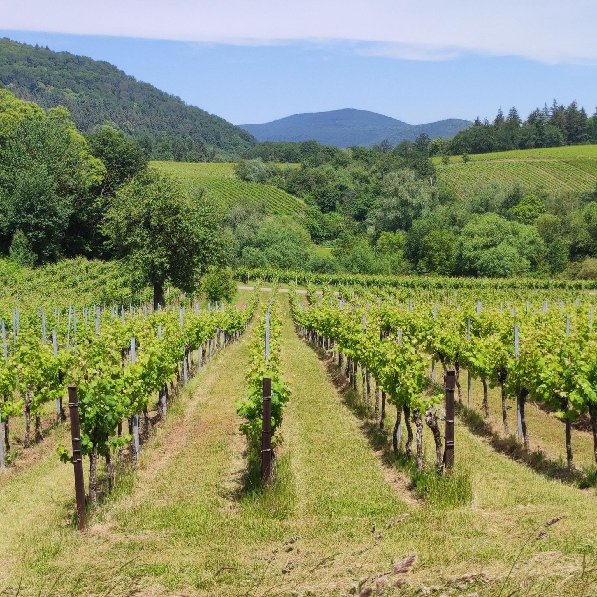
Mountaineering routes around Knöringen traverse the varied landscape of the Südliche Weinstraße region, characterized by rolling hills, dense forests, and vineyards. The area features moderate ascents and descents, with routes often leading through wooded areas and past local landmarks. Elevations typically range from gentle slopes to moderate summits, offering diverse terrain for mountaineering.
Best mountaineering routes around Knöringen
- The most popular mountaineering route is St. Martin Church – Weinstube Altes Rathaus loop from Sankt Martin, a 6.4 miles (10.3…
Last updated: July 1, 2026
3
hikers
10.4km
03:25
450m
450m
Moderate mountaineering route. Good fitness required. Mostly accessible paths. Sure-footedness required.
4.7
(3)
2
hikers
11.8km
03:39
430m
440m
Moderate mountaineering route. Good fitness required. Easily-accessible paths. Suitable for all skill levels.

Sign up for free
4
hikers
12.0km
03:33
340m
340m
Moderate mountaineering route. Good fitness required. Mostly accessible paths. Sure-footedness required.
2
hikers
8.08km
02:36
350m
350m
Moderate mountaineering route. Good fitness required. Easily-accessible paths. Suitable for all skill levels.
3
hikers
7.59km
02:12
190m
200m
Moderate mountaineering route. Good fitness required. Mostly accessible paths. Sure-footedness required.
Our route recommendations are based on thousands of hikes, rides, and runs completed by other people on komoot.
Start today with a free account
Your next adventure awaits.
Login or Signup
Tips from the Community

A very beautiful path leads past the stone pyramid, which marks the highest point of the Blätterberg. But there are other markings here too. Ancient boundary stones and rocks with boundary marks can be found on the path. The cross stands for the Hochstift Speyer.
1
0

After a long climb to the Kalmit, you will be rewarded with a fantastic view
5
0

The view of the Rhine Valley is fantastic. You can see the Odenwald and the Black Forest from here.
1
0

Much nicer than walking along the street.
1
0

is located on the Höhenstrasse to Triefels Castle
0
1

The Kalmit is located near Maikammer in the Southern Wine Route district of Rhineland-Palatinate. At 673.64 meters above sea level, it is the highest mountain in the Palatinate Forest. From up here, you have breathtaking views of the Rhine plain, the Odenwald forest, and even the Black Forest. Simply amazing 🤩👌🏼. There's also a rest hut up here where you can enjoy delicious food 😋👍🏼.
4
0

very good food, nice host.
0
0

At the parking lot in front of the Kalmithaus, the slippery road ends: the asphalt simply ends, as if someone had said, "Okay, adventure begins here!" From there, things get really tricky for road bikes – rough gravel, small stones, and the constant fear of getting a flat tire. You briefly consider whether you love your bike... or just ride over it. But honestly: The last stretch is still worth it. It's short, nasty – and at the top, the reward is complete. A view to fall in love with, a clear view all the way to the Odenwald (if the mist is kind), a cool drink from the hut, and that muscle cramp you trust. Perfect. If you've made it this far, you'll still make it all the way to the top. And afterward: roll down the gravel, let off some air (from your lungs, not the tires), and proudly say, "Kalmit? Sure – I made it."
1
0
Frequently Asked Questions
How many mountaineering routes are available around Knöringen?
There are several mountaineering routes around Knöringen, with komoot featuring 7 distinct tours. These routes traverse the varied landscape of the Südliche Weinstraße region.
What is the general difficulty level of mountaineering routes in Knöringen?
All mountaineering routes listed for Knöringen are classified as moderate. They feature rolling hills, dense forests, and vineyards, offering a balanced challenge with moderate ascents and descents.
Are there any circular mountaineering routes in the Knöringen area?
Yes, many of the routes around Knöringen are circular, allowing you to start and end at the same point. For example, you can explore the St. Martin Church – Weinstube Altes Rathaus loop from Sankt Martin or the Hohe Loog House – Hohe Loog Summit (619 m) loop from Maikammer.
What do other mountaineers enjoy most about the routes in Knöringen?
The routes in Knöringen are highly rated by the komoot community, with an average score of 4.7 stars. Reviewers often praise the blend of cultural sights and natural scenery, as well as the well-maintained paths through forested areas and vineyards.
Are there family-friendly mountaineering options near Knöringen?
Given the moderate difficulty and picturesque scenery, many routes are suitable for active families. The Zeter Mountain Inn – View of Hambach Castle loop from Maikammer is a shorter option that offers scenic views and a chance to see Hambach Castle from a distance, which can be engaging for children.
Can I bring my dog on the mountaineering routes in Knöringen?
Generally, dogs are welcome on the trails in the Knöringen region, especially through the forested areas and vineyards. It's always advisable to keep your dog on a leash, particularly near wildlife or in populated areas, and to carry water for them.
Where can I find parking for mountaineering trails in Knöringen?
Parking is typically available near the starting points of many routes, especially in towns like Sankt Martin or Maikammer. There's also a designated Hahnenschritt Pass parking area (565 m) which serves as a good base for exploring the higher elevations.
What kind of scenery can I expect on these mountaineering routes?
You can expect a diverse landscape featuring rolling hills, dense forests, and expansive vineyards. Routes often lead past local landmarks and offer elevated views, especially on tours like the Hohe Loog House – Hohe Loog Summit (619 m) loop from Maikammer.
Are there any specific landmarks or points of interest along the mountaineering routes?
Yes, the routes often pass by interesting points. For instance, the Ludwig Tower – Rietburg Chairlift loop from Rhodt unter Rietburg offers views of the Ludwig Tower. You might also encounter historical markers like the Dreimärker Stone or the Kohlplatz Pass and Ritterstein No. 69.
What is the typical elevation gain on mountaineering routes around Knöringen?
The elevation gain on routes around Knöringen varies, but generally ranges from around 190 meters to over 430 meters. For example, the St. Martin Church – Weinstube Altes Rathaus loop has an elevation gain of approximately 438 meters.
Are there any routes that pass by water features like ponds or streams?
Yes, the Sandwiesen Pond – House at the Firs loop from Sankt Martin is a notable route that leads through forested areas and directly past a pond, offering a refreshing change of scenery.
Can I find routes that offer views of the surrounding region?
Absolutely. Routes like the Hohe Loog House – Hohe Loog Summit (619 m) loop from Maikammer include a summit ascent, providing elevated panoramic views of the Südliche Weinstraße region and its characteristic vineyards and forests.
Most popular routes around Knöringen
Most popular attractions around Knöringen

Get inspired with the komoot mobile app


Explore more
Browse the best Mountain Hikes & Routes in other regions.
