The best walks and hikes around Saint-Vaast-D'Équiqueville
4.5
(240)
1,220
hikers
139
hikes
Hiking around Saint-Vaast-D'Équiqueville offers routes through the rolling landscapes of Normandy, characterized by agricultural fields, woodlands, and river valleys. The area features moderate elevation changes, providing varied terrain for hikers. Trails often follow paths through rural settings and offer views of the local countryside. The region's topography includes gentle hills and valleys, making it suitable for a range of hiking abilities.
Best hiking trails around Saint-Vaast-D'Équiqueville
- The most popular hiking route is Viewpoint of Le Goulet – Notre-Dame Church loop…
Last updated: July 8, 2026
4.4
(8)
22
hikers
7.71km
02:11
170m
170m
Moderate hike. Good fitness required. Easily-accessible paths. Suitable for all skill levels.
12
hikers
Easy hike. Great for any fitness level. Easily-accessible paths. Suitable for all skill levels.

Sign up for free
5.0
(1)
7
hikers
19.8km
05:13
170m
170m
Hard hike. Very good fitness required. Easily-accessible paths. Suitable for all skill levels.
5.0
(1)
4
hikers
6.49km
01:49
110m
110m
Easy hike. Great for any fitness level. Easily-accessible paths. Suitable for all skill levels.
3.0
(1)
3
hikers
8.06km
02:14
140m
140m
Moderate hike. Good fitness required. Easily-accessible paths. Suitable for all skill levels.
Get access to more routes and recommendations from other explorers.
Sign up for free
Already have an account?
Our route recommendations are based on thousands of hikes, rides, and runs completed by other people on komoot.
Start today with a free account
Your next adventure awaits.
Login or Signup

Tips from the Community

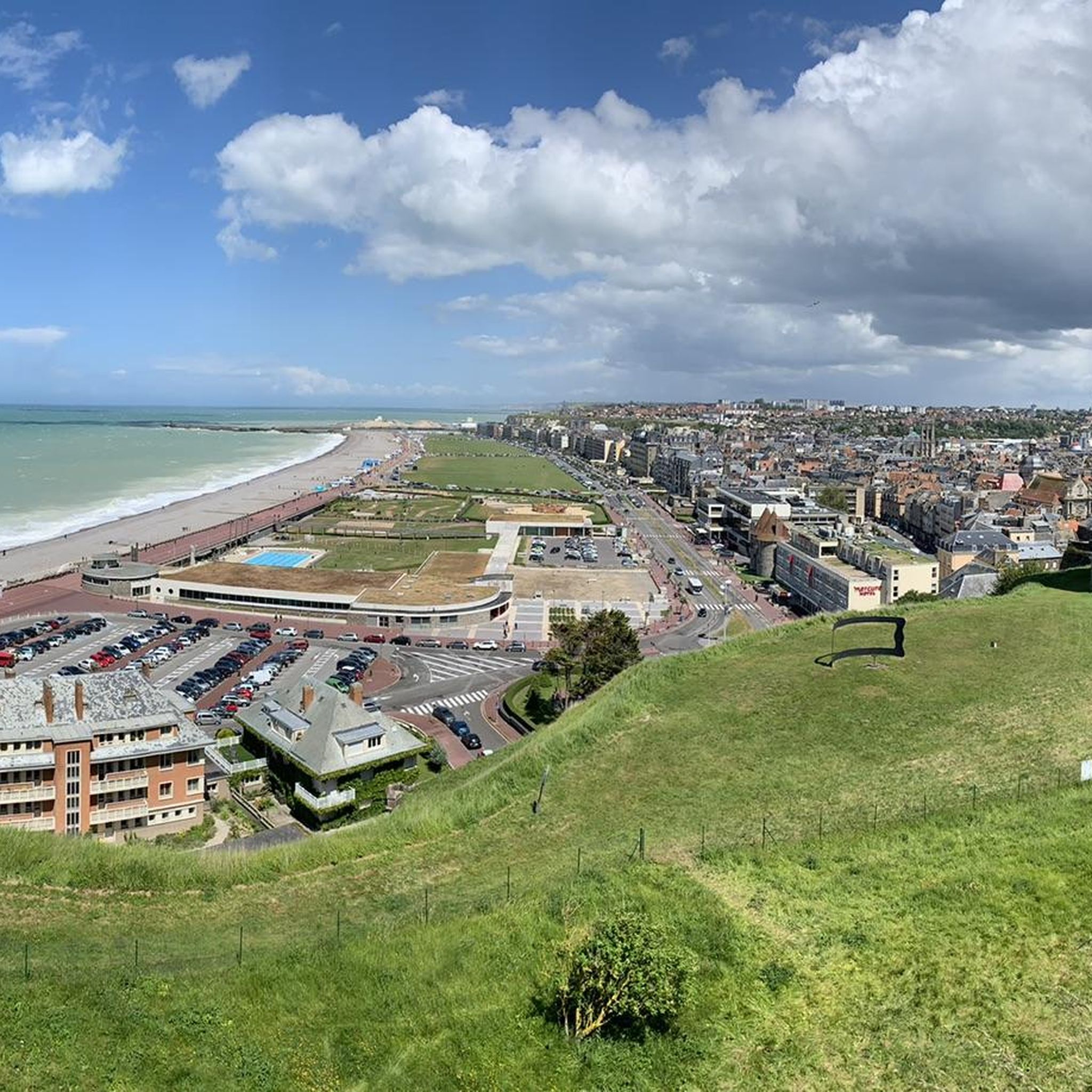
This path provides access to the Pimont Massif which separates Béthune and Varenne. Be careful, the slope is steep with 100m of elevation gain. You will have beautiful views of the Béthune valley before entering the woods which are part of the Eawy national forest.
1
0
At this point, you straddle the Béthune. This river has its source in the town of Gaillefontaine at an altitude of 205m. After a journey of 65 km, it joins the Varenne then the Eaulne at Arques-la-Bataille where their confluence creates the Arques.
1
0
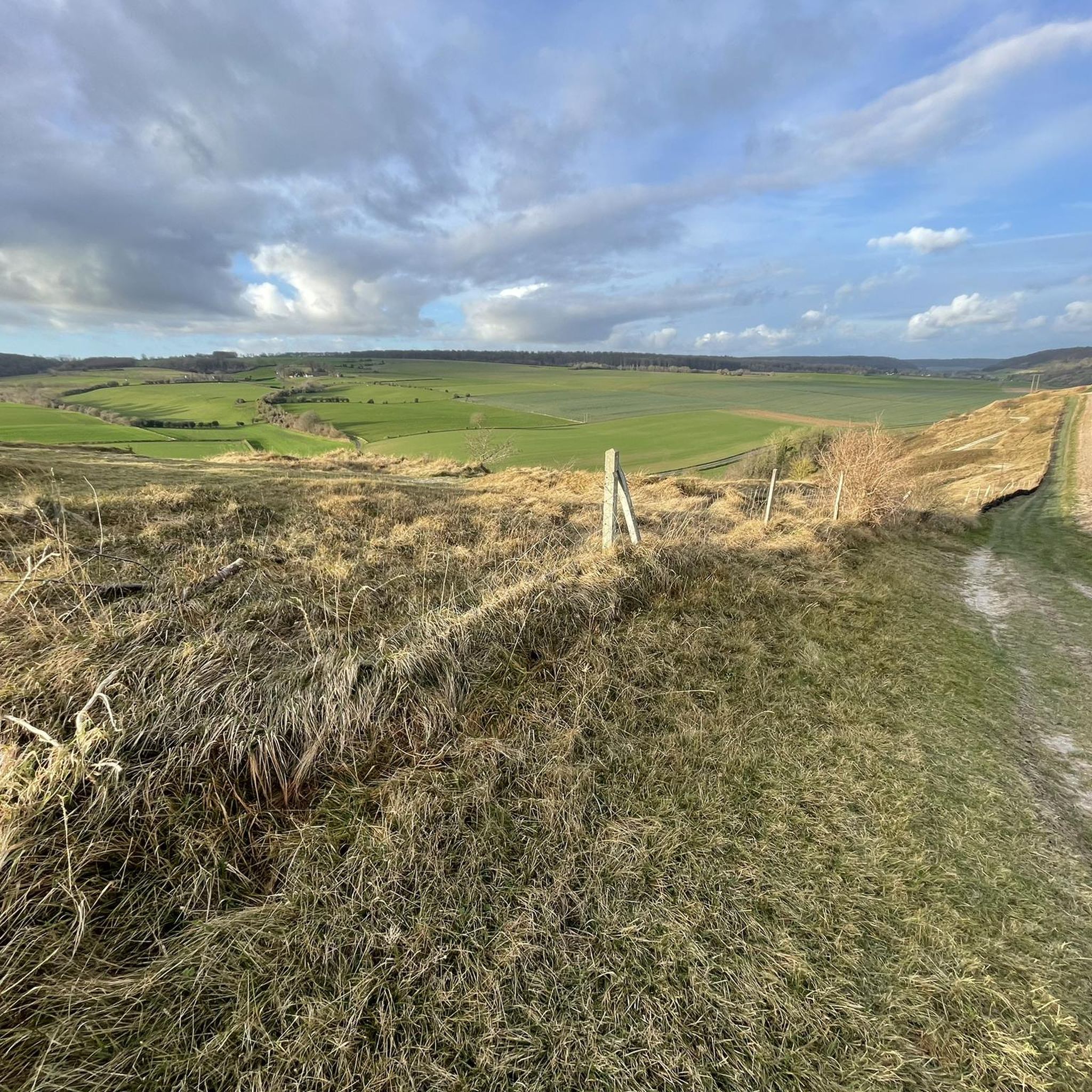
Here is a path which will offer you a strong dive from Hautes Brehoulles towards the Valfel valley.
1
0
Close to the Côte d'Albâtre on the Cauchois plateau, the commune of Grandes Ventes is a friendly town where you will find local shops and something to eat. It has, on the Town Hall Square, a monument that is original to say the least, labeled “Rural Heritage” in 2021. The Garnier Cistern brings out a current concern from the past: that of the importance of water.
1
0
A first chapel was built in 1263. It was then transformed into a church in the 15th century. A bell tower completed the current building in the 17th century. This church, named Notre-Dame, is built from local sandstone, coming from Val au Grès. The imposing building has a narthex, unique in the region, under which a terracotta plaque indicates the date of consecration of the place (1482). It also houses a polychrome stone virgin and child from the 16th century and the coat of arms of the lords of Heuze, painted on the walls of the nave and choir.
1
0
Here, you will access a remarkable point of view over the thalweg and the relief of the Hautes and Basses Brehoulles. Two benches will allow you to take a picnic break!
1
0
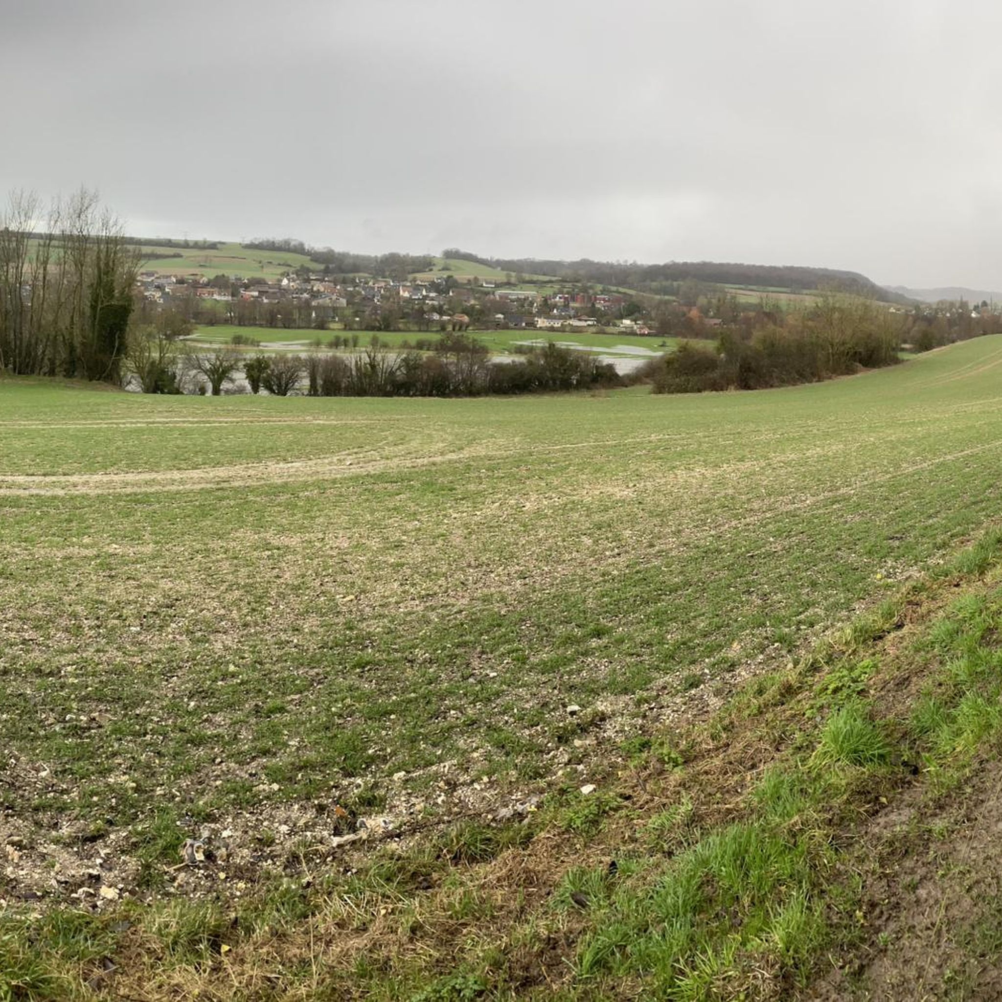
At the exit of the hamlet Le Goulet, you will enjoy a beautiful view of the Basses Brehoulles before diving towards the Basse Canne valley.
1
0
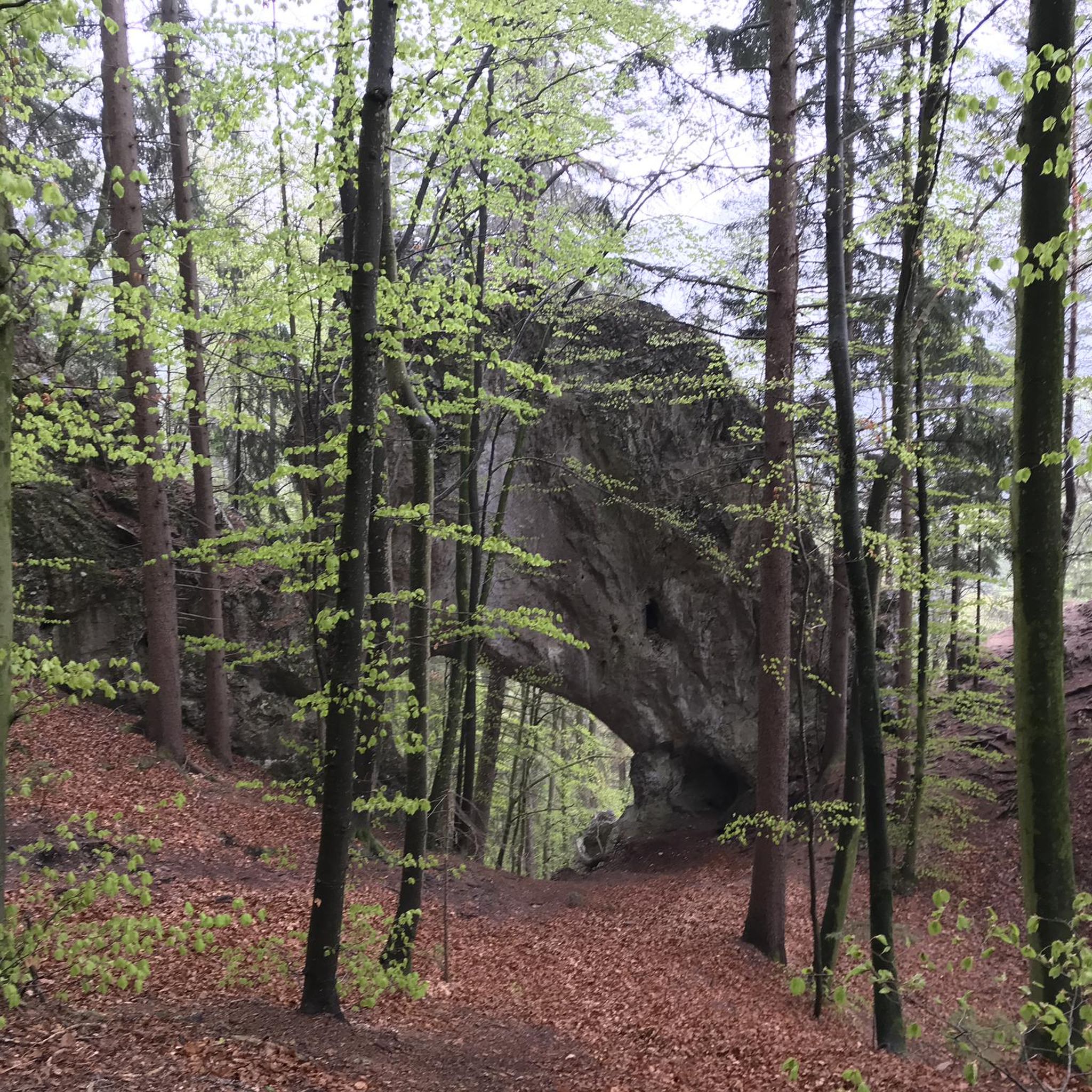
This small, pleasant and steep path takes you from the eastern end of the Four Coffard road towards the hamlet of Goulet.
1
0
Frequently Asked Questions
How many hiking trails are available around Saint-Vaast-D'Équiqueville?
There are over 140 hiking trails around Saint-Vaast-D'Équiqueville, offering a wide range of options for different skill levels. You'll find routes through agricultural fields, woodlands, and river valleys.
Are there easy hikes suitable for beginners or families?
Yes, Saint-Vaast-D'Équiqueville offers a good selection of easy hikes. There are 42 routes classified as easy, perfect for beginners or families looking for a gentle stroll. An example is the View of the Torcy Valley loop from Carrefour du Rond-Point des Fleurs, which is 3.7 miles (6.0 km) long.
What kind of terrain can I expect on the hiking trails?
The region is characterized by rolling landscapes, gentle hills, and river valleys. Trails often traverse agricultural land and woodlands, providing varied terrain with moderate elevation changes. You'll experience a mix of open countryside and shaded paths.
Are there any circular walks in the area?
Many of the trails around Saint-Vaast-D'Équiqueville are designed as circular routes, allowing you to start and end at the same point. For instance, the View of the Torcy Valley loop from Freulleville is a popular circular option.
What do other hikers enjoy most about the trails in Saint-Vaast-D'Équiqueville?
The trails are highly rated by the komoot community, with an average score of 4.5 stars from over 200 reviews. Hikers often praise the scenic views of the countryside, the peaceful rural settings, and the well-maintained paths that make for an enjoyable experience.
Are there any interesting landmarks or attractions to see along the trails?
Yes, the area offers several points of interest. You can explore historical sites like Mesnières-en-Bray Castle or enjoy natural beauty such as the View of Château de Longueville and the Lake. The Avenue Verte: Neufchâtel-en-Bray to Dieppe Cycle Path also passes through the wider region, offering additional exploration opportunities.
Is parking available at the trailheads?
Parking is generally available near the starting points of many trails, especially in or near villages and popular access points. It's advisable to check the specific route details on komoot for parking information related to your chosen hike.
Can I bring my dog on the hiking trails?
Most trails in this rural region are dog-friendly, but it's always recommended to keep your dog on a leash, especially when passing through agricultural areas or near livestock. Please be mindful of local regulations and respect private property.
What is the best time of year to go hiking in Saint-Vaast-D'Équiqueville?
Spring and autumn are generally ideal for hiking in Saint-Vaast-D'Équiqueville, with pleasant temperatures and beautiful scenery as the landscape changes. Summer also offers good conditions, though some paths might be more exposed to the sun. Winter hiking is possible, but trails can be muddy, and daylight hours are shorter.
Are there any more challenging hikes for experienced hikers?
While the region is known for its rolling hills, there are 9 routes classified as difficult for those seeking more of a challenge. These routes typically feature longer distances and more significant elevation gains, providing a good workout amidst the scenic Norman countryside.
What should I wear for hiking in this area?
Given the varied terrain and potential for changing weather, layered clothing is recommended. Comfortable hiking shoes with good grip are essential, especially for paths that might be muddy after rain. Always carry water, and consider bringing a waterproof jacket.
Most popular routes around Saint-Vaast-D'Équiqueville
Most popular attractions around Saint-Vaast-D'Équiqueville

Get inspired with the komoot mobile app


Explore more
Browse the best Hikes in other regions.
