The best walks and hikes around Saint-Jacques-D'Aliermont
4.5
(248)
1,174
hikers
134
hikes
Hiking around Saint-Jacques-D'Aliermont offers diverse landscapes in the Seine-Maritime department of Normandy. The area features tranquil rural scenery, including the picturesque Vallée de la Varenne and the dense Forêt d'Eawy. While inland, its proximity to the Alabaster Coast provides access to dramatic chalk cliffs and coastal views. The terrain combines river valleys, woodlands, and limestone hillsides, creating varied hiking opportunities.
Best hiking trails around Saint-Jacques-D'Aliermont
- The most popular hiking route is View of the Torcy Valley loop from Freulleville, a 7.3 miles (11.8 km) trail that takes 3 hours 12 minutes to complete, offering views of the Torcy Valley.
- Another top favourite among local hikers is European beech - over 200 years old – Sea of ferns loop from Saint-Nicolas-d'Aliermont, a moderate 8.0 miles (12.9 km) path. This route features ancient beech trees and areas of ferns.
- Local hikers also love the Béthune River – Massif de Pimont Trail loop from Dampierre-Saint-Nicolas, a 5.7 miles (9.2 km) trail leading through the Massif de Pimont, often completed in about 2 hours 31 minutes.
- Hiking around Saint-Jacques-D'Aliermont is defined by river valleys, dense beech forests, and proximity to coastal chalk cliffs. The network offers options for easy, moderate, and difficult ability levels.
- The routes in Saint-Jacques-D'Aliermont are highly rated by the komoot community with an average score of 4.5 stars from over 200 reviews. More than 1000 hikers have used komoot to explore Saint-Jacques-D'Aliermont's varied terrain.
Last updated: July 8, 2026
5.0
(1)
12
hikers
Moderate hike. Good fitness required. Easily-accessible paths. Suitable for all skill levels.
5.0
(1)
5
hikers
8.76km
02:25
140m
140m
Moderate hike. Good fitness required. Easily-accessible paths. Suitable for all skill levels.

Sign up for free
4.5
(2)
7
hikers
6.02km
01:34
30m
30m
Easy hike. Great for any fitness level. Easily-accessible paths. Suitable for all skill levels.
7
hikers
8.58km
02:20
120m
120m
Moderate hike. Good fitness required. Easily-accessible paths. Suitable for all skill levels.
5.0
(3)
7
hikers
11.8km
03:10
130m
130m
Moderate hike. Good fitness required. Easily-accessible paths. Suitable for all skill levels.
Get access to more routes and recommendations from other explorers.
Sign up for free
Already have an account?
Our route recommendations are based on thousands of hikes, rides, and runs completed by other people on komoot.
Start today with a free account
Your next adventure awaits.
Login or Signup

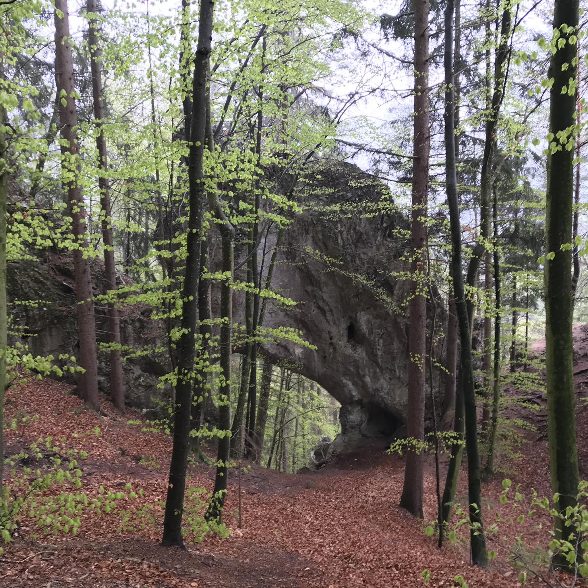
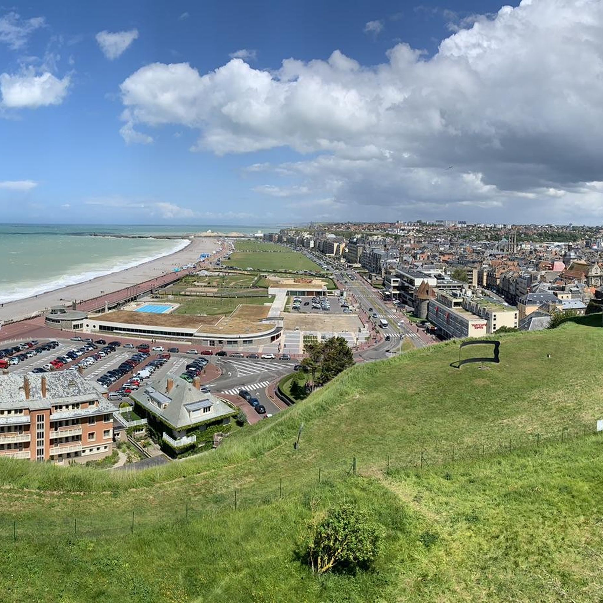
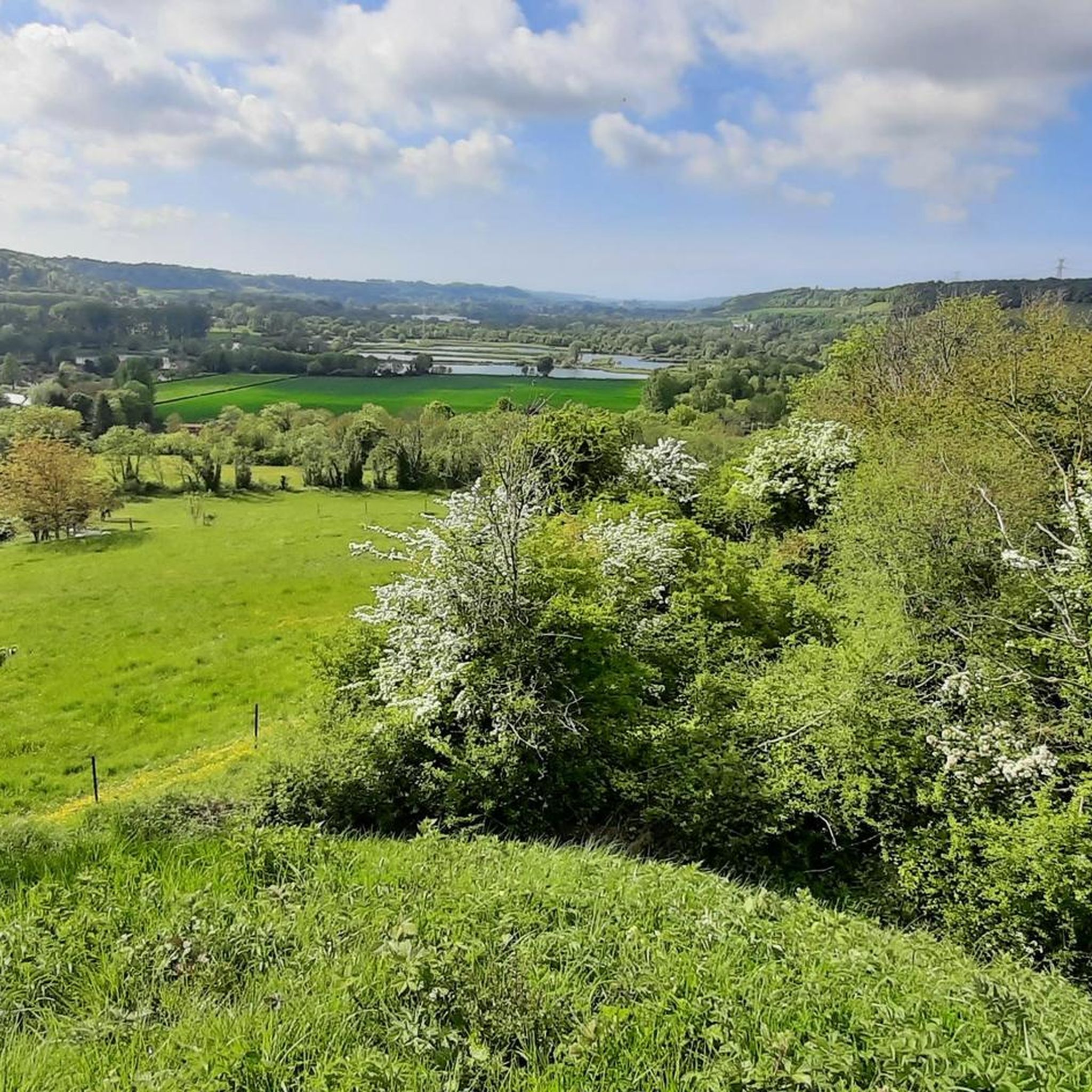

Tips from the Community


This path provides access to the Pimont Massif which separates Béthune and Varenne. Be careful, the slope is steep with 100m of elevation gain. You will have beautiful views of the Béthune valley before entering the woods which are part of the Eawy national forest.
1
0
At this point, you straddle the Béthune. This river has its source in the town of Gaillefontaine at an altitude of 205m. After a journey of 65 km, it joins the Varenne then the Eaulne at Arques-la-Bataille where their confluence creates the Arques.
1
0
You walk on the green avenue. 40 km long, this route echoes a long Franco-British history. In 1873, a railway was built to provide access between London and Paris via the Dieppe - Newhaven shipping line. This connection is still relevant, no longer by train, but by bike!
1
0
At the entrance to Saint-Aubin-le-Cauf, along the greenway, you can access a picnic area with a shelter and an inflation station.
1
0
La Chatellenie, an 18th century castle, was built on the foundations of an 11th century feudal castle. In 1596, Henry IV, wounded at the Battle of Aumale, was treated by Claude Groulard to whom he donated the castle. The estate remained the property of this family for 250 years before changing owners several times. The estate now houses gîtes and guest rooms.
1
0
Frequently Asked Questions
How many hiking trails are available in Saint-Jacques-D'Aliermont?
The Saint-Jacques-D'Aliermont area offers a wide variety of hiking opportunities, with over 130 routes available. These trails cater to different skill levels, including easy, moderate, and difficult options.
Are there easy or beginner-friendly hikes in the area?
Yes, Saint-Jacques-D'Aliermont has numerous easy trails perfect for beginners or those seeking a relaxed walk. There are 37 easy routes, such as the 5.8 km Béthune River loop from Dampierre-Saint-Nicolas, which offers gentle terrain along the river.
Can I find circular hiking routes around Saint-Jacques-D'Aliermont?
Absolutely. Many of the trails in the region are circular, allowing you to start and end at the same point. For example, the 11.8 km View of the Torcy Valley loop from Freulleville is a popular moderate circular route. The local "Le circuit des Carreaux" is also a well-regarded 11-kilometer circular trail.
What natural features or landscapes will I encounter on the trails?
Hiking in Saint-Jacques-D'Aliermont offers diverse scenery. You'll explore the picturesque Vallée de la Varenne, dense woodlands like the Forêt d'Eawy with its ancient beech trees, and limestone hillsides such as the Coteau calcaire de Saint-Ouen-sous-Bailly, which provides stunning views. Some routes, like the European beech - over 200 years old – Sea of ferns loop from Saint-Nicolas-d'Aliermont, specifically highlight ancient trees and unique flora.
Are the hiking trails in Saint-Jacques-D'Aliermont suitable for families with children?
Yes, many trails are suitable for families. With a good selection of easy and moderate routes, you can find paths that are not too strenuous. The varied landscapes, including forests and river valleys, offer engaging environments for children to explore and observe local wildlife.
Are dogs allowed on the hiking trails in Saint-Jacques-D'Aliermont?
Generally, dogs are welcome on most hiking trails in the Saint-Jacques-D'Aliermont area. However, it's always recommended to keep them on a leash, especially in nature reserves or areas with livestock, to protect local wildlife and ensure a pleasant experience for all hikers.
What is the best time of year to go hiking in Saint-Jacques-D'Aliermont?
The region is beautiful year-round, but spring and autumn offer particularly pleasant conditions for hiking. Spring brings lush greenery and blooming wildflowers, while autumn showcases vibrant foliage in the forests. Summer is also popular, though trails can be busier. Winter hikes are possible, especially on lower elevation routes, offering a different, tranquil experience.
Is there public transport available to reach the trailheads?
While Saint-Jacques-D'Aliermont is a rural area, some local bus services might connect to nearby towns. For direct access to specific trailheads, driving is often the most convenient option. It's advisable to check local transport schedules in advance if you plan to rely on public transport.
Where can I find parking for hiking trails in Saint-Jacques-D'Aliermont?
Parking is typically available near village centers or designated starting points for popular trails. Many routes, especially circular ones, often have small parking areas at their beginning. For specific routes, checking the tour details on komoot can provide information on recommended starting points and parking availability.
What do other hikers say about their experience in Saint-Jacques-D'Aliermont?
The hiking routes in Saint-Jacques-D'Aliermont are highly rated by the komoot community, with an average score of 4.5 stars from over 230 reviews. Hikers often praise the peaceful rural scenery, the well-maintained paths through forests and valleys, and the opportunity to discover the diverse landscapes of Normandy.
Are there any interesting attractions or places to visit near the hiking routes?
Yes, beyond the trails, the area offers several points of interest. You can visit historical sites like Arques-la-Bataille Castle or Château de Miromesnil. For nature lovers, the Paradis Aquatique Douvrend is just 4 km away, featuring ponds and diverse wildlife. The bustling port town of Dieppe, about 15 km away, also offers coastal walks and a vibrant atmosphere.
Are there any longer or more challenging hikes for experienced hikers?
Yes, for those seeking a greater challenge, there are 9 difficult routes available. An example is the 20.4 km View of the Torcy Valley loop from Dampierre-Saint-Nicolas, which features significant elevation changes and takes over 5 hours to complete. The proximity to the GR21 trail also allows for more extensive coastal treks.
Can I find places to eat or stay near the hiking areas?
Saint-Jacques-D'Aliermont and its surrounding villages offer various options for dining and accommodation. You'll find local restaurants, cafes, and guesthouses that cater to visitors. For a wider selection, nearby towns like Dieppe provide more extensive choices for both meals and overnight stays.
Most popular routes around Saint-Jacques-D'Aliermont
Most popular attractions around Saint-Jacques-D'Aliermont

Get inspired with the komoot mobile app


Explore more
Browse the best Hikes in other regions.
