The best running trails around La Hallotière
4.7
(6)
106
runners
36
runs
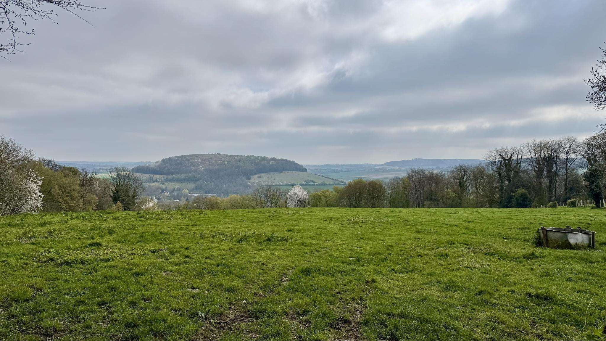
Jogging around La Hallotière offers access to a tranquil environment within the Seine-Maritime department of Normandy. The region is characterized by rolling countryside and verdant landscapes, providing a picturesque backdrop for outdoor activities. Undulating hills are a common feature, contributing to the varied terrain found on local running routes. The area also includes a notable landscaped garden, offering a pleasant setting for shorter, accessible paths.
Best jogging routes around La Hallotière
- The most popular jogging route is Running loop from…
Last updated: July 15, 2026
3
runners
7.68km
00:50
80m
80m
Moderate run. Good fitness required. Mostly paved surfaces. Suitable for all skill levels.
5.0
(1)
4
runners
6.78km
00:42
40m
30m
Moderate run. Good fitness required. Mostly paved surfaces. Suitable for all skill levels.

Sign up for free
5
runners
9.18km
00:57
40m
40m
Moderate run. Good fitness required. Mostly paved surfaces. Suitable for all skill levels.
3
runners
6.82km
00:47
100m
100m
Moderate run. Good fitness required. Mostly paved surfaces. Suitable for all skill levels.
3
runners
8.93km
00:56
90m
90m
Moderate run. Good fitness required. Mostly paved surfaces. Suitable for all skill levels.
Get access to more routes and recommendations from other explorers.
Sign up for free
Already have an account?
Our route recommendations are based on thousands of hikes, rides, and runs completed by other people on komoot.
Start today with a free account
Your next adventure awaits.
Login or Signup



Frequently Asked Questions
How many running routes are available around La Hallotière?
There are over 30 dedicated running routes available around La Hallotière, offering a variety of distances and terrains for all levels of runners. These routes are highly rated by the komoot community, with an average score of 4.7 stars.
What are the typical difficulty levels for running trails in La Hallotière?
The majority of running routes in La Hallotière are classified as moderate, with 27 such trails. There are also 5 easy routes, making the area accessible for beginners or those looking for a more relaxed run. There are no difficult routes listed.
Are there any easy running paths suitable for beginners in La Hallotière?
Yes, La Hallotière offers 5 easy running paths perfect for beginners or those seeking a less strenuous workout. These routes typically feature gentler inclines and shorter distances. For example, the Running loop from La Hallotière is a moderate 4.2 miles (6.8 km) path that offers pleasant views of the local landscape and passes through the village, making it a good option for many.
Can I find circular running routes in the La Hallotière area?
Yes, many of the running routes around La Hallotière are circular, allowing you to start and finish at the same point. Examples include the popular Running loop from Argueil, which is 4.8 miles (7.7 km), and the Running loop from Bosc-Édeline, a 5.7 miles (9.2 km) trail through verdant landscapes.
What kind of landscapes can I expect while jogging in La Hallotière?
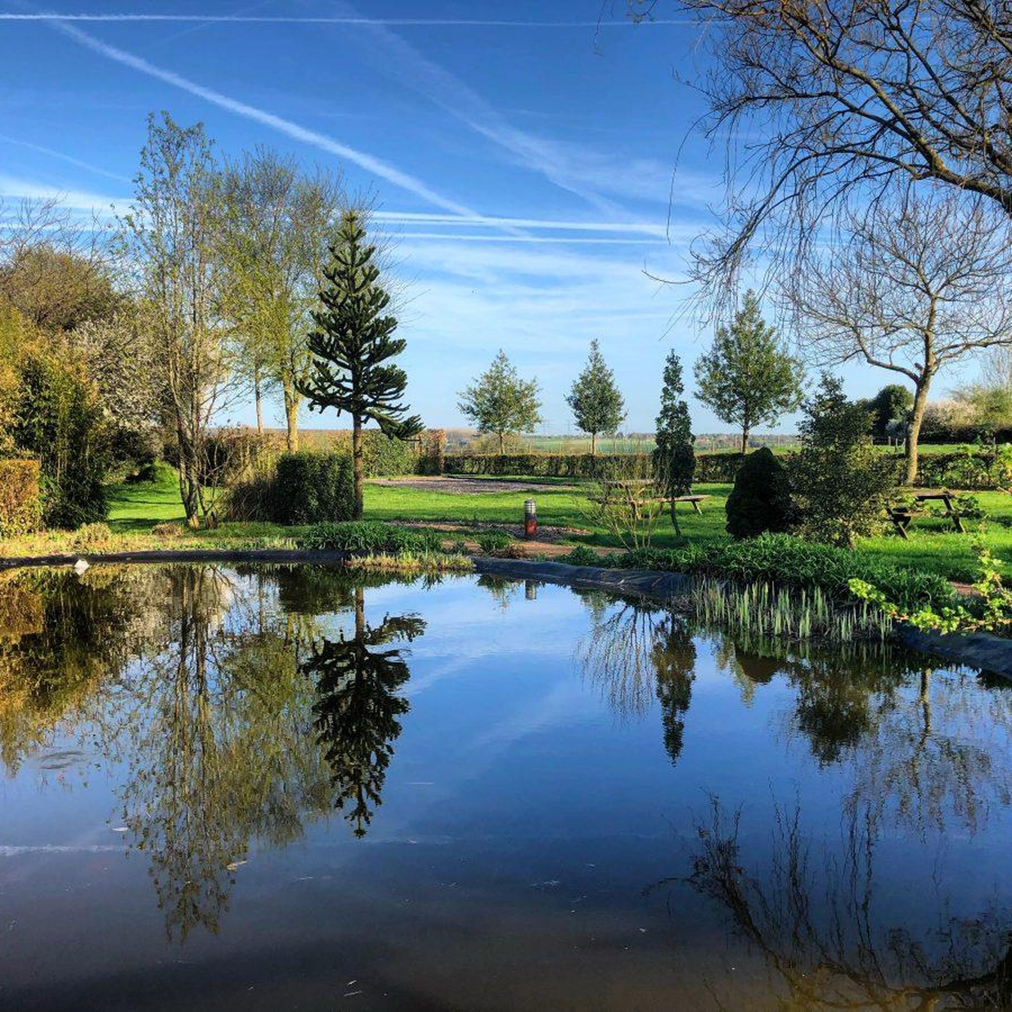
Jogging in La Hallotière offers a picturesque experience through rolling countryside and verdant landscapes. The region is characterized by undulating hills, providing varied terrain. You'll also find a notable landscaped garden within La Hallotière itself, offering a pleasant setting for shorter paths.
Are there any interesting landmarks or attractions along the running routes?
While the routes primarily focus on natural beauty, the broader area around La Hallotière features several points of interest. You might consider visiting the Domaine de Forges and Historic Thermal Quarter, or the historic Buchy Market Halls. For natural sights, the Source de la Chevrette and Etang de la Chevrette are also nearby.
What do other runners say about the trails in La Hallotière?
The running routes in La Hallotière are highly regarded by the komoot community, boasting an average rating of 4.7 out of 5 stars from over 6 reviews. More than 100 runners have explored the area using komoot, often praising the tranquil environment and the scenic rolling countryside.
Are there any running routes that offer significant elevation changes?
While the region is known for undulating hills, most routes feature moderate elevation changes. For instance, the Running loop from Sigy-en-Bray includes an ascent of over 100 meters, offering a more challenging workout compared to some other local paths.
What is the best time of year to go jogging in La Hallotière?
La Hallotière's verdant landscapes are enjoyable throughout much of the year. Spring and autumn offer pleasant temperatures and beautiful scenery with blooming flowers or changing leaves. Summer is also suitable, especially in the mornings or evenings, to avoid the warmest parts of the day. The rolling countryside provides a charming backdrop in any season.
Are there any longer running routes for experienced runners?
Yes, for more experienced runners looking for longer distances, routes like the Running loop from Bosc-Édeline cover 5.7 miles (9.2 km). Another option is the Running loop from Rouvray-Catillon, which is approximately 5.5 miles (8.9 km) and features moderate elevation.
Is the area around La Hallotière suitable for family-friendly runs?
Yes, the presence of 5 easy routes and the generally moderate difficulty of most trails make the La Hallotière area suitable for family-friendly runs. The tranquil environment and scenic countryside provide a pleasant setting for all ages. The local 5 km hiking route departing from La Hallotière town hall, mentioned by the Tourist Office, is also a good indicator of accessible paths.
Most popular attractions around La Hallotière

Get inspired with the komoot mobile app


Explore more
Browse the best Running Trails & Routes in other regions.
