The best mountain hikes around Niederschlettenbach
5.0
(23)
86
hikers
13
hikes
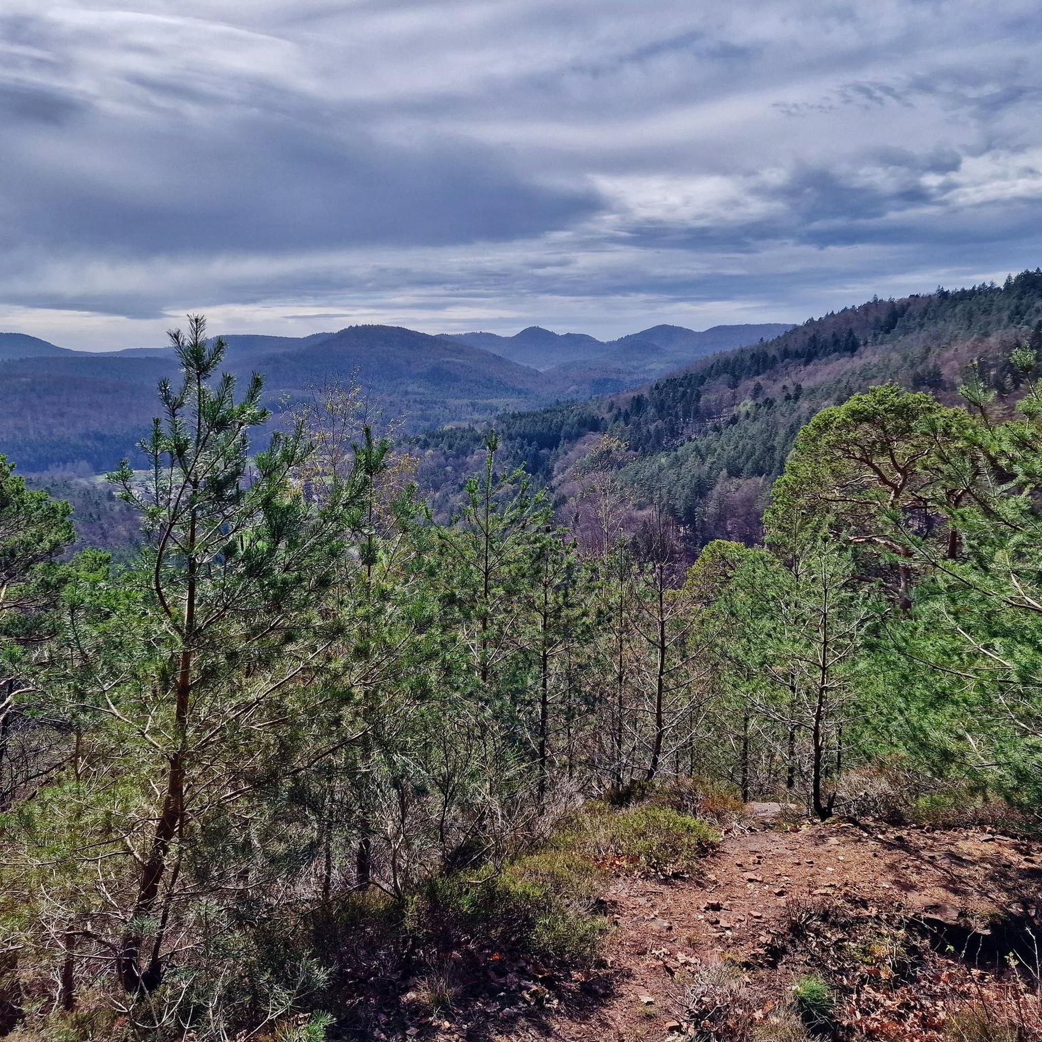
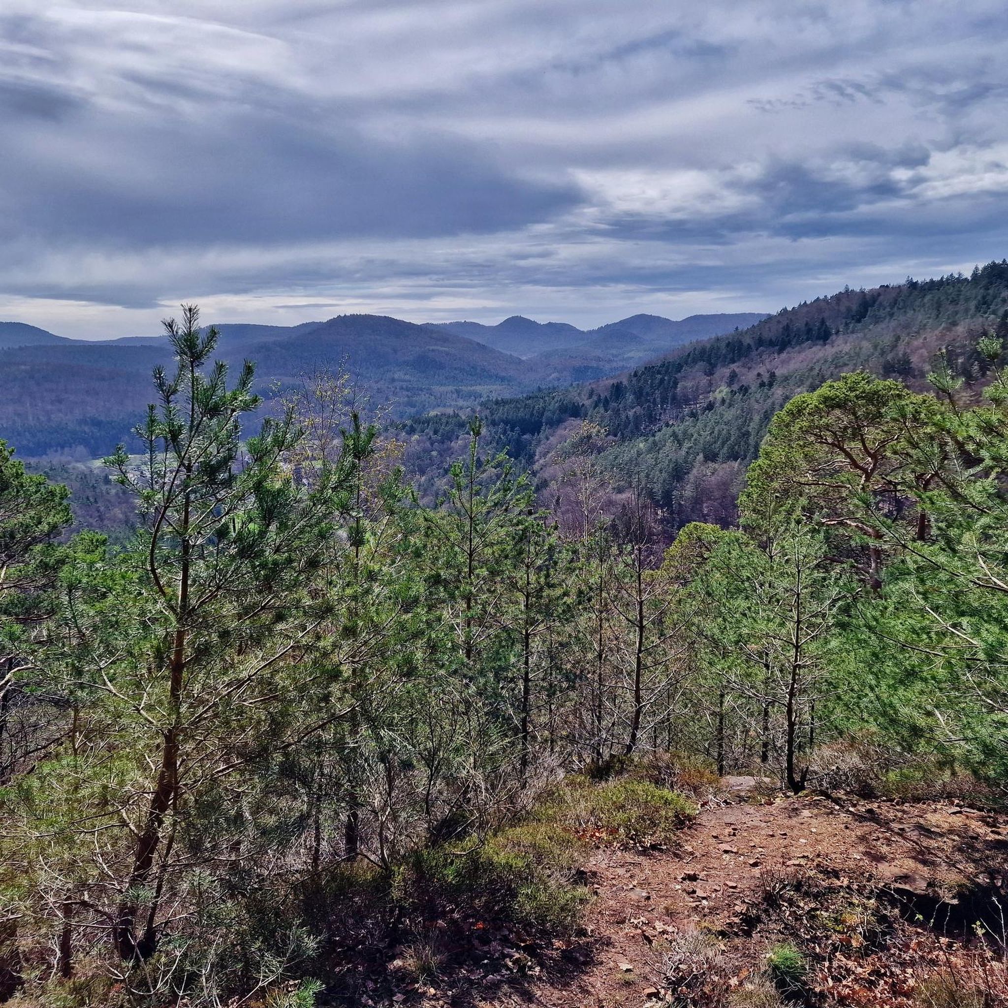
Mountaineering routes around Niederschlettenbach traverse a landscape characterized by rolling hills and dense forests within the southern Palatinate Forest. The region features distinctive red sandstone rock formations, including impressive reefs and unique rock features. These natural elements create varied terrain suitable for mountaineering and offer extensive trail networks.
Best mountaineering routes around Niederschlettenbach
- The most popular mountaineering route is View of Dahn – Elwetritsche Rock loop from Dahn, an 8.0 miles (12.9 km) trail that takes 3 hours 53…
Last updated: October 9, 2026
5.0
(3)
20
hikers
12.9km
03:53
270m
270m
Moderate mountaineering route. Good fitness required. Mostly accessible paths. Sure-footedness required.
4.8
(5)
11
hikers
12.7km
03:38
300m
300m
Moderate mountaineering route. Good fitness required. Easily-accessible paths. Suitable for all skill levels.

5.0
(1)
5
hikers
9.77km
03:13
350m
350m
Moderate mountaineering route. Good fitness required. Mostly accessible paths. Sure-footedness required.
5.0
(3)
6
hikers
7.80km
02:23
210m
210m
Moderate mountaineering route. Good fitness required. Mostly accessible paths. Sure-footedness required.
5.0
(3)
7
hikers
Moderate mountaineering route. Good fitness required. Mostly accessible paths. Sure-footedness required.
Get access to more routes and recommendations from other explorers.
Already have an account?
Our route recommendations are based on thousands of hikes, rides, and runs completed by other people on komoot.
Start today with a free account
Your next adventure awaits.
Tips from the Community

Good starting point for the tour. Shady and free (as of 2026) parking spaces.
0
0

In neat rows on every mountain ridge stand the glowing red sandstone rocks in the Dahn Felsenland. Most can be easily hiked and some even climbed, and are great viewpoints.
3
0
This is the Büttelfels, part of the premium hiking trail Dahner Felsenpfad. The starting point for the great loop is, among other places, at the Sportpark Dahn, a few hundred meters from the Büttelfels.
3
0

The silhouette suggests a monster or a hissing dragon.
0
0

Since parking in Nothweiler (exception: visitor parking lot of the visitor mine) is prohibited almost everywhere in the village, this visitor parking lot is very well suited as a starting point (for hikes to Wegelnburg, to Fleckenstein Castle ruins or for the German-French premium hiking trail "Grenzgängerweg").
1
0


Impressive rock formations can be seen time and again along the circular route through the Dahner Felsenland (Dahn Rock Country).
1
0
Frequently Asked Questions
What kind of terrain can I expect on mountaineering routes around Niederschlettenbach?
The terrain around Niederschlettenbach is characterized by rolling hills and dense forests within the southern Palatinate Forest. You'll encounter distinctive red sandstone rock formations, including impressive reefs and unique rock features, which create varied and engaging paths suitable for mountaineering.
Are there any challenging mountaineering routes in the Niederschlettenbach area?
Yes, while most routes are moderate, there is at least one challenging mountaineering route available. The region offers a diverse network, allowing for both moderate ascents and more demanding paths that will test your skills.
What are some notable natural features or landmarks I can see along the trails?
The region is rich in unique red sandstone rock formations. You can explore impressive sites like Ungeheuer Rock with its bizarre formations, the iconic Bride and Groom Rock Formations, and Swallows' Rock, which offers great views over Dahn. Many routes also pass by features like Bubenfelsen.
Are there any circular mountaineering routes available?
Yes, many routes in the area are designed as circular tours. For example, you could try the View of Dahn – Elwetritsche Rock loop from Dahn, an 8.0-mile (12.9 km) route that offers panoramic views and passes by notable rock formations.
What do other mountaineers appreciate most about the routes in Niederschlettenbach?
The mountaineering routes around Niederschlettenbach are highly rated by the komoot community, with an average score of 5.0 stars from over 20 reviews. Mountaineers often praise the varied terrain, the impressive red sandstone rock formations, and the well-maintained trail networks that offer options for different ability levels.
Can I find routes that include historical sites like castles?
Absolutely. The region features routes that lead through historic castle ruins. Consider the View from Wegelnburg Castle – Hohenbourg Castle loop from Nothweiler, a 6.7-mile (10.9 km) trail offering expansive views and a journey through history.
Are there any routes that offer particularly good viewpoints?
Yes, many routes are known for their scenic vistas. The Wachtfelsen Viewpoint – Lochfelsen loop from Dahn Süd is a moderate 7.8-mile (7.8 km) route that specifically highlights a viewpoint, providing excellent panoramic opportunities.
Are there any huts or places to rest along the mountaineering trails?
Yes, the area around Niederschlettenbach has several huts that can serve as resting points or places to grab refreshments. Notable options include the Hiking home "Dicke Eiche" (PWV Hauenstein) and the Dahner PWV hut "Im Schneiderfeld".
What is the typical elevation gain on these mountaineering routes?
The elevation gain varies depending on the route's length and difficulty. For instance, a moderate route like the Railway Cliff – Napoleon Rock loop from Bruchweiler-Bärenbach involves an elevation gain of approximately 300 meters (984 feet).
Are there shorter mountaineering options for those with less time or experience?
Yes, there are shorter routes available. For example, the Hohenbourg Castle – View from Wegelnburg Castle loop from Château de Fleckenstein is a moderate 6.2-mile (6.2 km) trail that can be completed in about 2 hours, offering a good option for a quicker adventure.
What is the best time of year for mountaineering in Niederschlettenbach?
The Palatinate Forest region, including Niederschlettenbach, is generally suitable for mountaineering from spring through autumn. The dense forests provide shade in warmer months, and the rock formations are particularly striking in clear weather. Always check local weather conditions before heading out.
Is the area suitable for sport climbing in addition to mountaineering?
Yes, the Palatinate Forest, particularly around Dahn, is renowned for its sport climbing opportunities. The impressive red sandstone rock reefs, such as Ungeheuer Rock and Bride and Groom Rock Formations, offer various routes for all skill levels, from beginners to experienced climbers.
How many mountaineering routes are there in total around Niederschlettenbach?
There are over a dozen mountaineering routes available around Niederschlettenbach, offering a variety of distances and challenges within the picturesque Palatinate Forest.
Most popular routes around Niederschlettenbach
Most popular attractions around Niederschlettenbach

Get inspired with the komoot mobile app


Explore more
Browse the best Mountain Hikes & Routes in other regions.
