The best mountain hikes around Nothweiler
5.0
(22)
71
hikers
9
hikes
Mountaineering routes around Nothweiler are characterized by rugged sandstone landscapes and challenging terrain within the UNESCO Biosphere Reserve Pfälzerwald-Nordvogesen. The region features dramatic red sandstone formations, some with walls over 60 meters high, alongside dense forests and historic castle ruins. Mountaineering routes often involve significant elevation gain and require good fitness and sure-footedness.
Best mountaineering routes around Nothweiler
- The most popular mountaineering route is View of Dahn – Elwetritsche Rock loop from Dahn, an 8.0 miles (12.9 km) trail…
Last updated: October 9, 2026
5.0
(3)
20
hikers
12.9km
03:53
270m
270m
Moderate mountaineering route. Good fitness required. Mostly accessible paths. Sure-footedness required.
4.8
(5)
11
hikers
12.7km
03:38
300m
300m
Moderate mountaineering route. Good fitness required. Easily-accessible paths. Suitable for all skill levels.

5.0
(1)
5
hikers
9.77km
03:13
350m
350m
Moderate mountaineering route. Good fitness required. Mostly accessible paths. Sure-footedness required.
5.0
(3)
7
hikers
Moderate mountaineering route. Good fitness required. Mostly accessible paths. Sure-footedness required.
5.0
(2)
6
hikers
Moderate mountaineering route. Good fitness required. Easily-accessible paths. Suitable for all skill levels.
Get access to more routes and recommendations from other explorers.
Already have an account?
Our route recommendations are based on thousands of hikes, rides, and runs completed by other people on komoot.
Start today with a free account
Your next adventure awaits.
Other adventures around Nothweiler


Tips from the Community

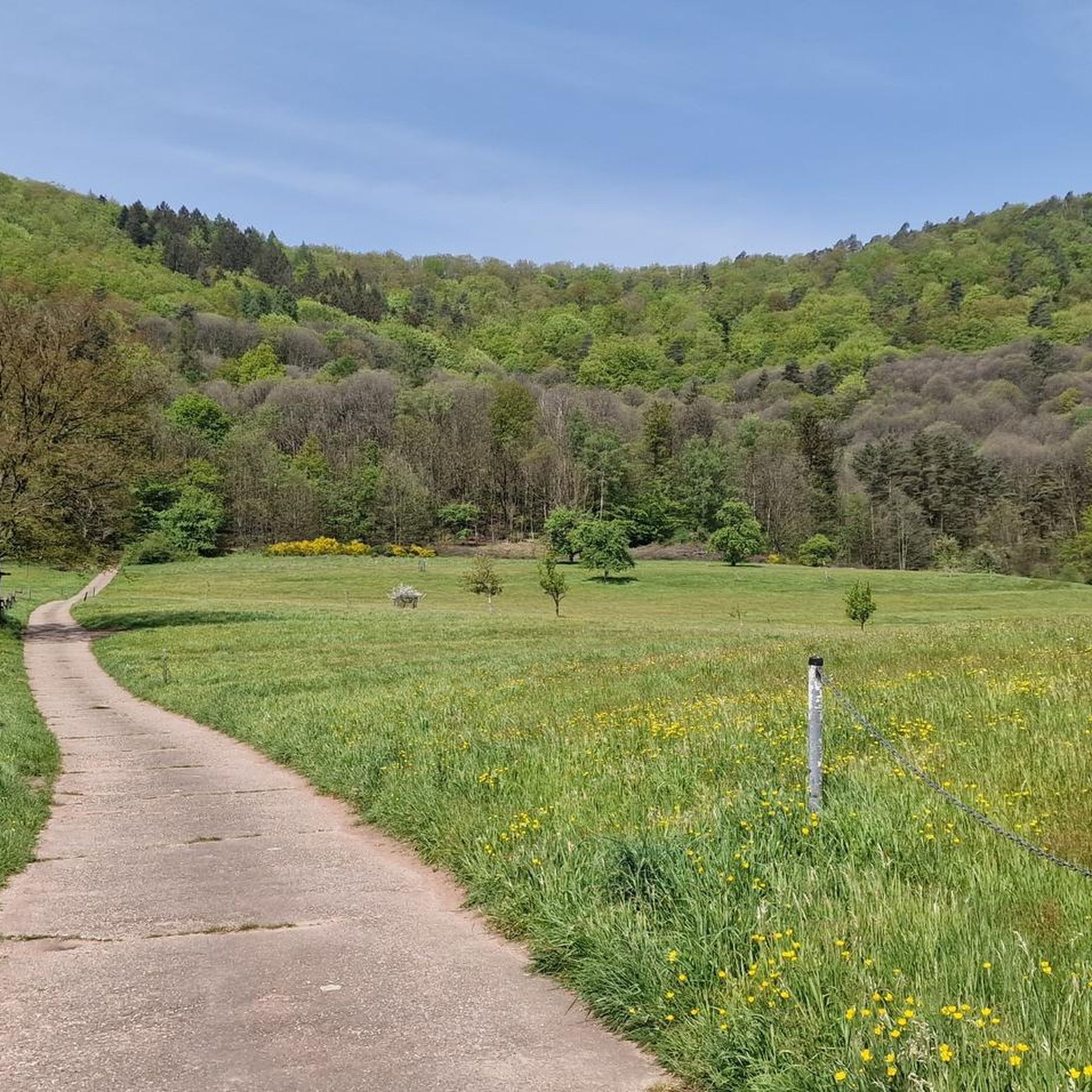
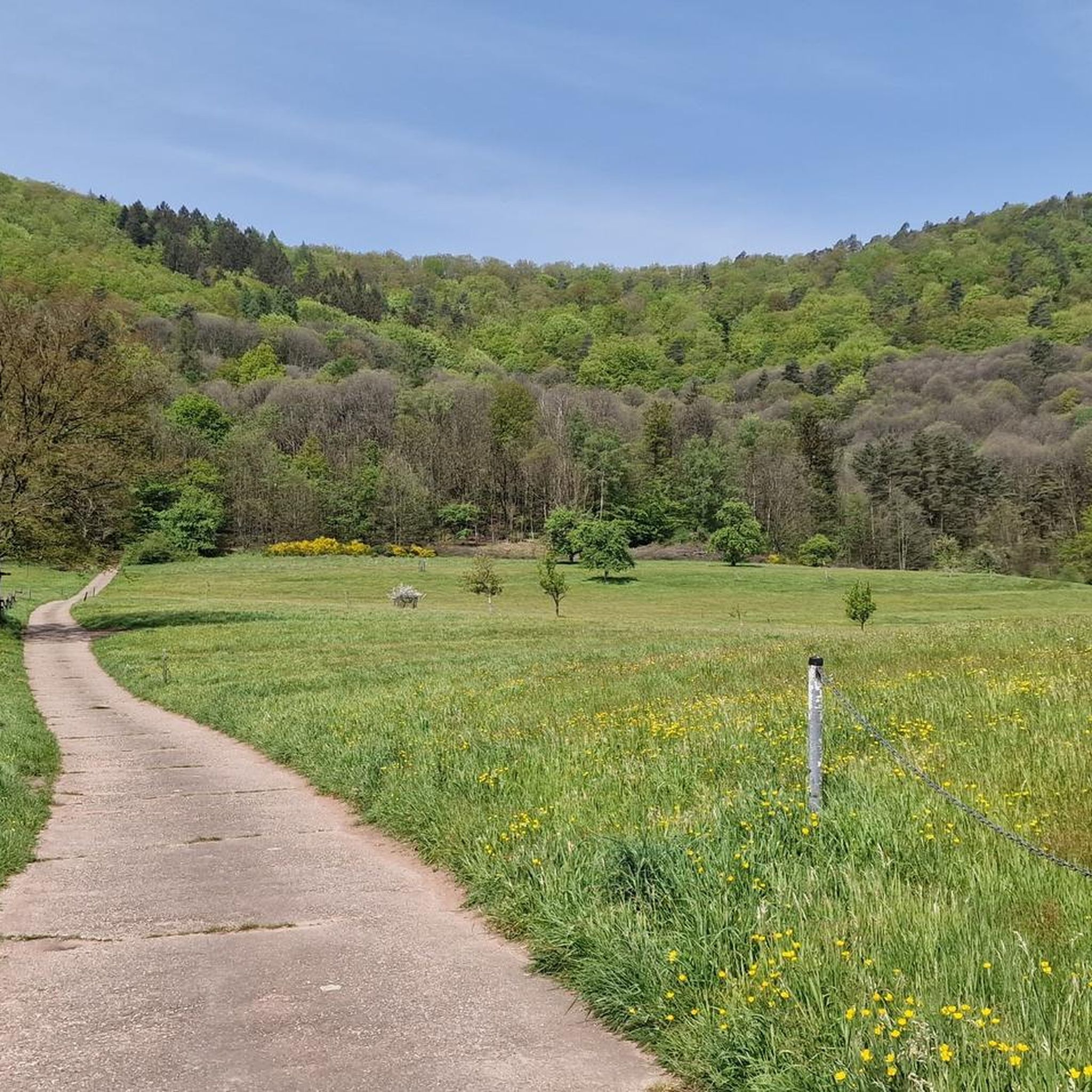
Good starting point for the tour. Shady and free (as of 2026) parking spaces.
0
0

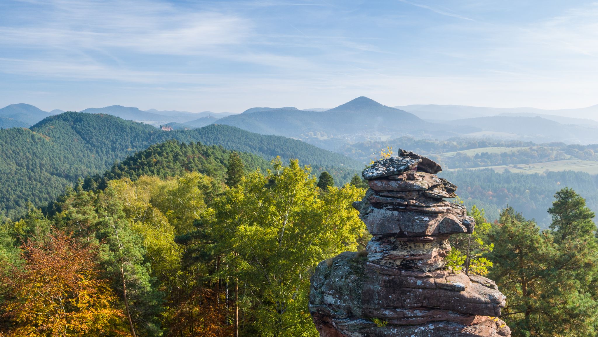
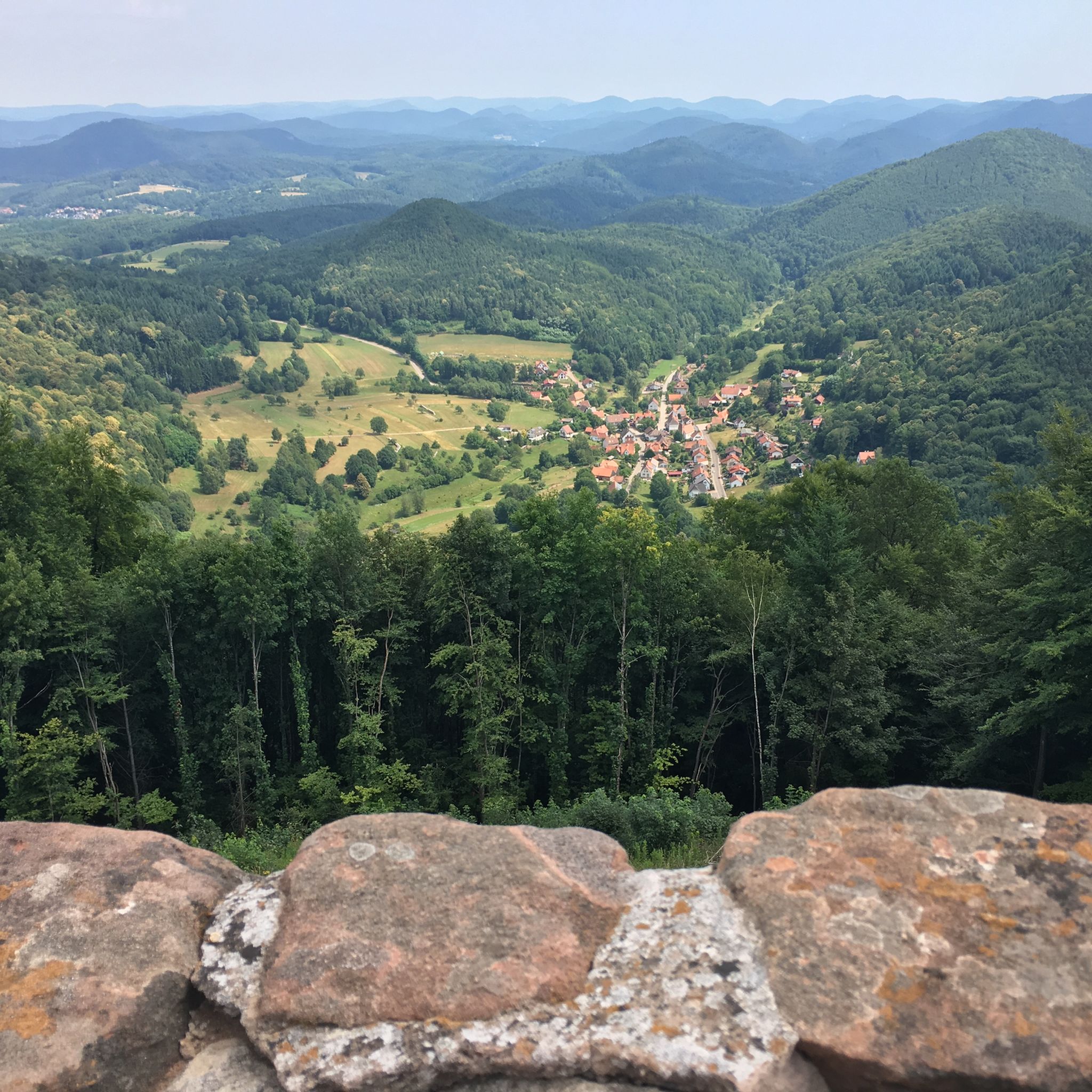
In neat rows on every mountain ridge stand the glowing red sandstone rocks in the Dahn Felsenland. Most can be easily hiked and some even climbed, and are great viewpoints.
3
0
This is the Büttelfels, part of the premium hiking trail Dahner Felsenpfad. The starting point for the great loop is, among other places, at the Sportpark Dahn, a few hundred meters from the Büttelfels.
3
0

The silhouette suggests a monster or a hissing dragon.
0
0

Since parking in Nothweiler (exception: visitor parking lot of the visitor mine) is prohibited almost everywhere in the village, this visitor parking lot is very well suited as a starting point (for hikes to Wegelnburg, to Fleckenstein Castle ruins or for the German-French premium hiking trail "Grenzgängerweg").
1
0


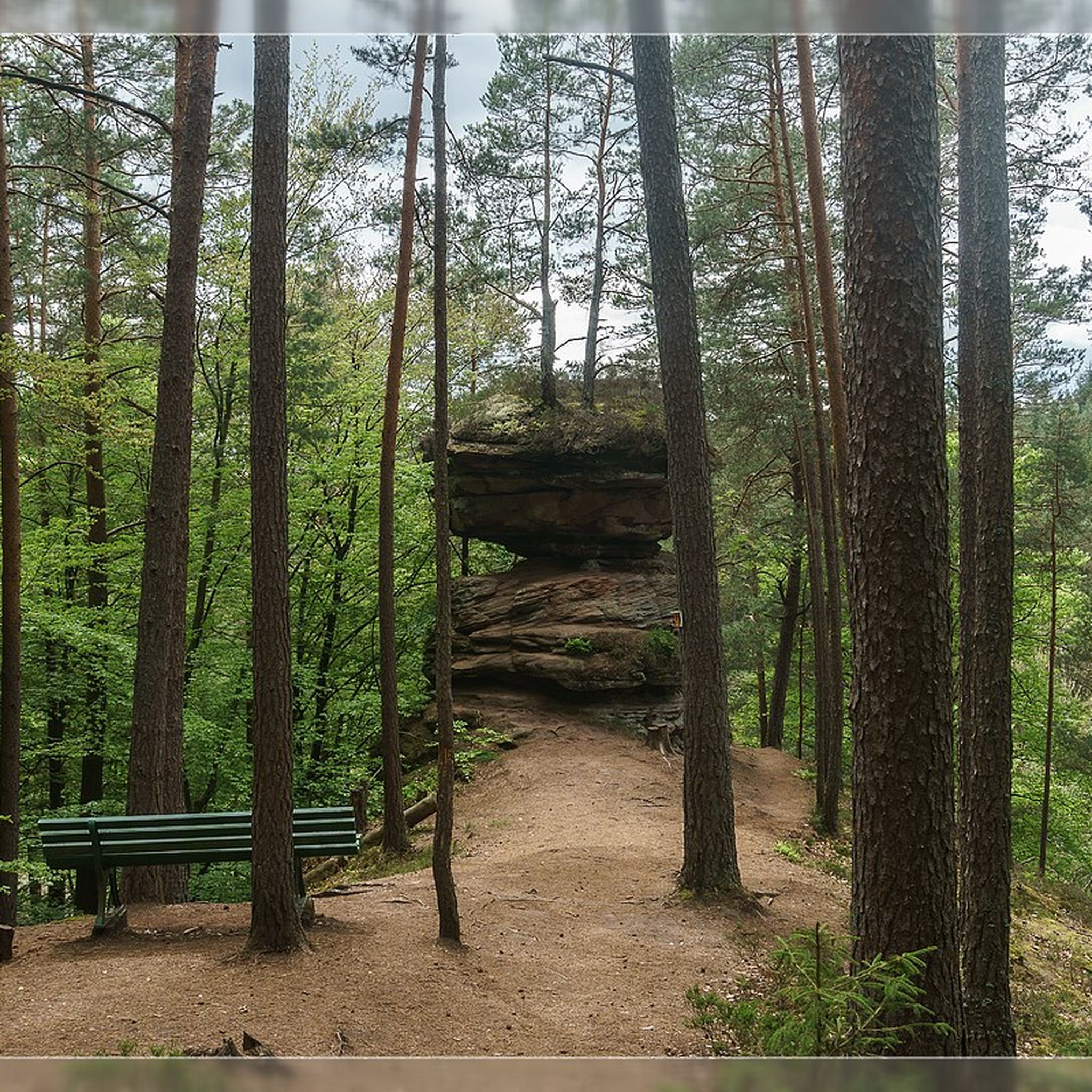
Impressive rock formations can be seen time and again along the circular route through the Dahner Felsenland (Dahn Rock Country).
1
0
Frequently Asked Questions
What is the typical difficulty level of mountaineering routes around Nothweiler?
The mountaineering routes around Nothweiler are generally considered moderate. They often involve significant elevation gain and require good fitness and sure-footedness due to the rugged sandstone landscapes and varied terrain. While challenging, they are accessible to those with some hiking experience.
How many mountaineering routes are available in the Nothweiler area?
There are 10 dedicated mountaineering routes around Nothweiler listed in this guide. These routes are highly rated by the komoot community, with an average score of 4.9 stars.
What kind of terrain can I expect on mountaineering routes near Nothweiler?
You can expect a diverse and rugged terrain characterized by dramatic red sandstone formations, dense forests, and varied paths. The region is known for its 'bizarre Buntsandsteinfelsen' (bizarre sandstone rocks), some with walls over 60 meters high, making for an exciting and unique mountaineering experience within the UNESCO Biosphere Reserve Pfälzerwald-Nordvogesen.
What are the elevation gains like on mountaineering routes in Nothweiler?
Mountaineering routes in Nothweiler feature notable elevation gains. For example, the Bundenthal Hunting Hut – Geierstein rock formation loop from Bundenthal-Rumbach has an elevation gain of approximately 459 meters, while the View from Wegelnburg Castle – Hohenbourg Castle loop from Nothweiler involves about 370 meters of ascent. These routes require good physical condition.
Are there any notable landmarks or viewpoints along the mountaineering routes?
Absolutely. The routes often lead to impressive rock formations and offer stunning panoramic views. You might encounter the unique Swallows' Rock, the iconic Bride and Groom Rock Formations, or the elongated Ungeheuer Rock. Many routes also pass by significant viewpoints like Kahlenberg (399 m) or Stäffelsberg Tower.
Can I explore historical sites while mountaineering in Nothweiler?
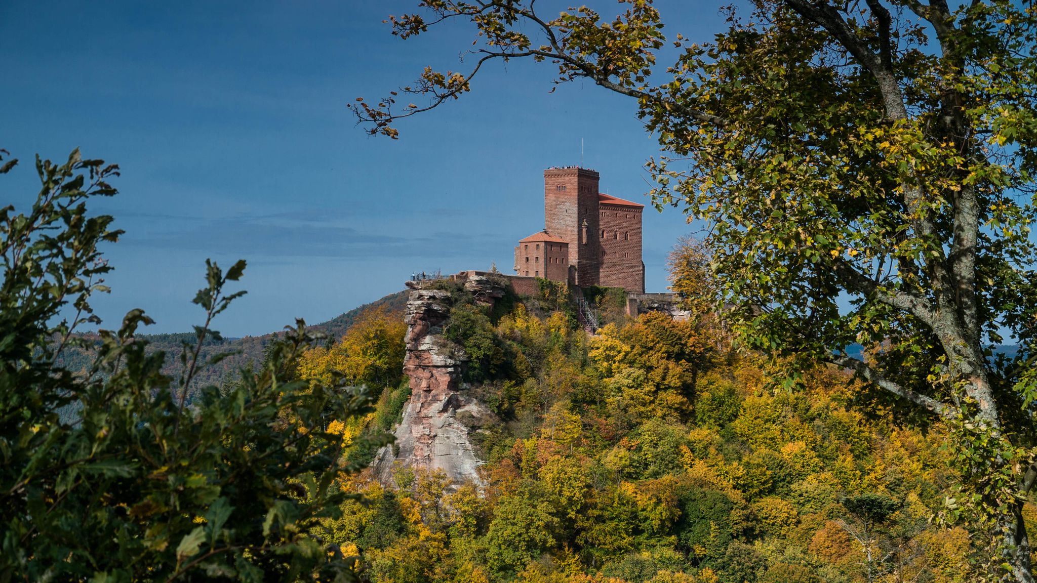
Yes, the region is rich in history. Many mountaineering routes incorporate visits to medieval castle ruins, often perched atop dramatic rock outcrops. For instance, the View from Wegelnburg Castle – Hohenbourg Castle loop from Nothweiler takes you past the ruins of Wegelnburg, the highest fortified castle in the Palatinate, and Hohenbourg Castle, offering both historical intrigue and impressive views.
When is the best time of year to go mountaineering in Nothweiler?
The best time for mountaineering in Nothweiler is typically from spring through autumn (April to October). During these months, the weather is generally more stable, and the trails are clear. The vibrant foliage in autumn can be particularly beautiful. Winter mountaineering is possible but may require specialized gear and experience due to potential snow and ice conditions.
Are there circular mountaineering routes available in Nothweiler?
Yes, all the mountaineering routes highlighted in this guide are circular. This allows you to start and end your adventure at the same point, making logistics easier. Examples include the View of Dahn – Elwetritsche Rock loop from Dahn and the Railway Cliff – Napoleon Rock loop from Bruchweiler-Bärenbach.
Are dogs allowed on the mountaineering trails around Nothweiler?
Many trails in the Palatinate region are dog-friendly, but it's always advisable to keep your dog on a leash, especially in nature reserves and near wildlife. Given the challenging terrain and potential for steep sections on mountaineering routes, ensure your dog is fit enough for the adventure and that you carry enough water for both of you.
What do other mountaineers say about the routes in Nothweiler?
The mountaineering routes around Nothweiler are highly regarded by the komoot community, boasting an impressive average rating of 4.9 out of 5 stars from over 20 reviews. Mountaineers frequently praise the stunning rock formations, the historical castle ruins, and the challenging yet rewarding nature of the trails.
Is it easy to find parking near the mountaineering trailheads in Nothweiler?
While specific parking information varies by trailhead, Nothweiler and the surrounding villages generally offer designated parking areas for hikers. It's recommended to check local signage or online resources for the most convenient parking options near your chosen starting point.
How can I reach the mountaineering routes around Nothweiler using public transport?
Public transport options to Nothweiler and nearby trailheads are available, though they might require some planning. Regional bus services connect the villages within the Palatinate. For specific routes, it's best to consult local transport schedules to plan your journey to the starting points of the mountaineering trails.
Are there family-friendly mountaineering options in Nothweiler?
While all routes in this guide are rated as moderate mountaineering, requiring good fitness and sure-footedness, some families with older, experienced children might find them suitable. For younger children or those new to mountaineering, it's best to choose shorter, less exposed sections or consider other hiking trails in the broader Dahner Felsenland that are specifically designated as family-friendly.
Most popular routes around Nothweiler
Most popular attractions around Nothweiler

Get inspired with the komoot mobile app


Explore more
Browse the best Mountain Hikes & Routes in other regions.
