The best running trails around Obersimten
4.5
(217)
2,550
runners
210
runs
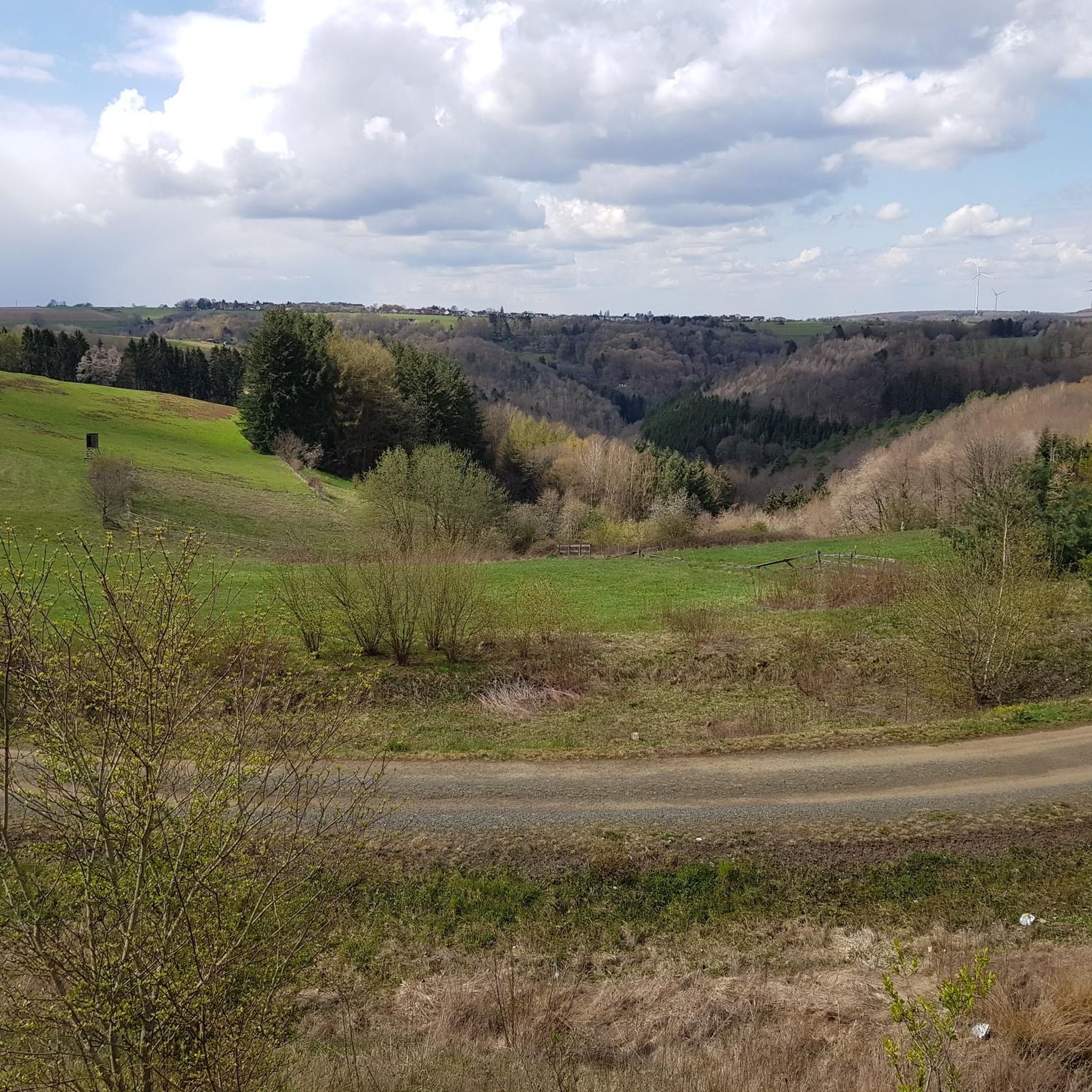
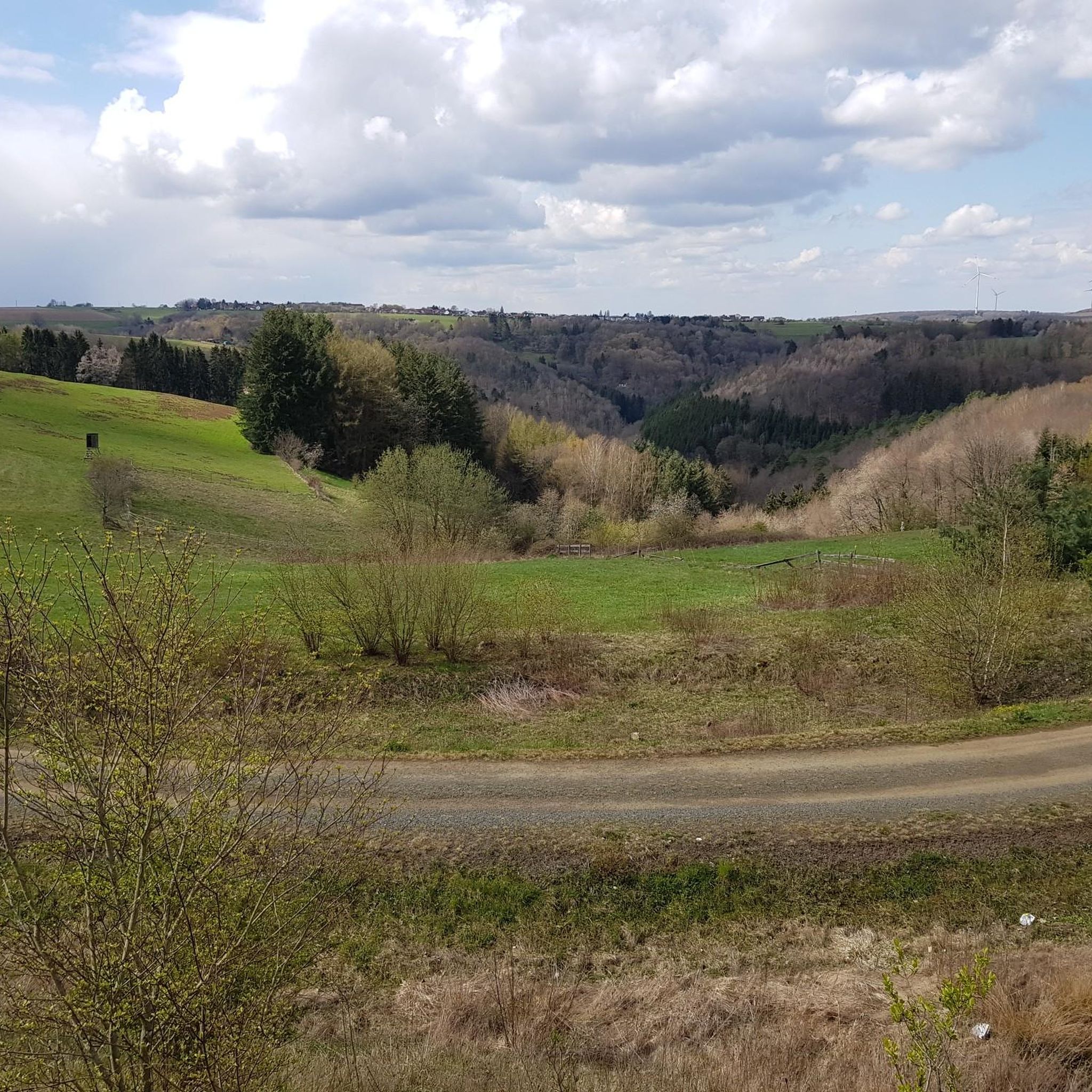
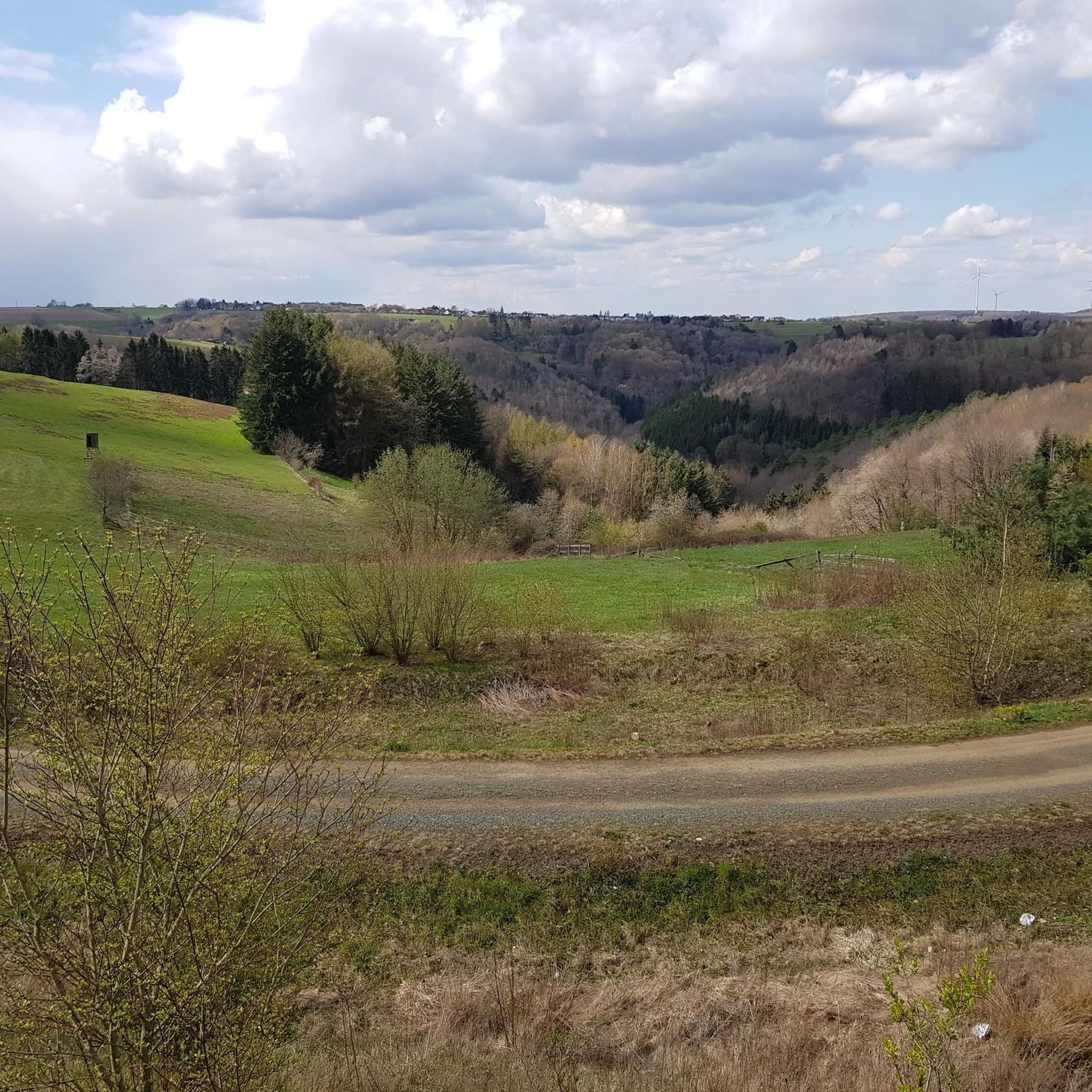
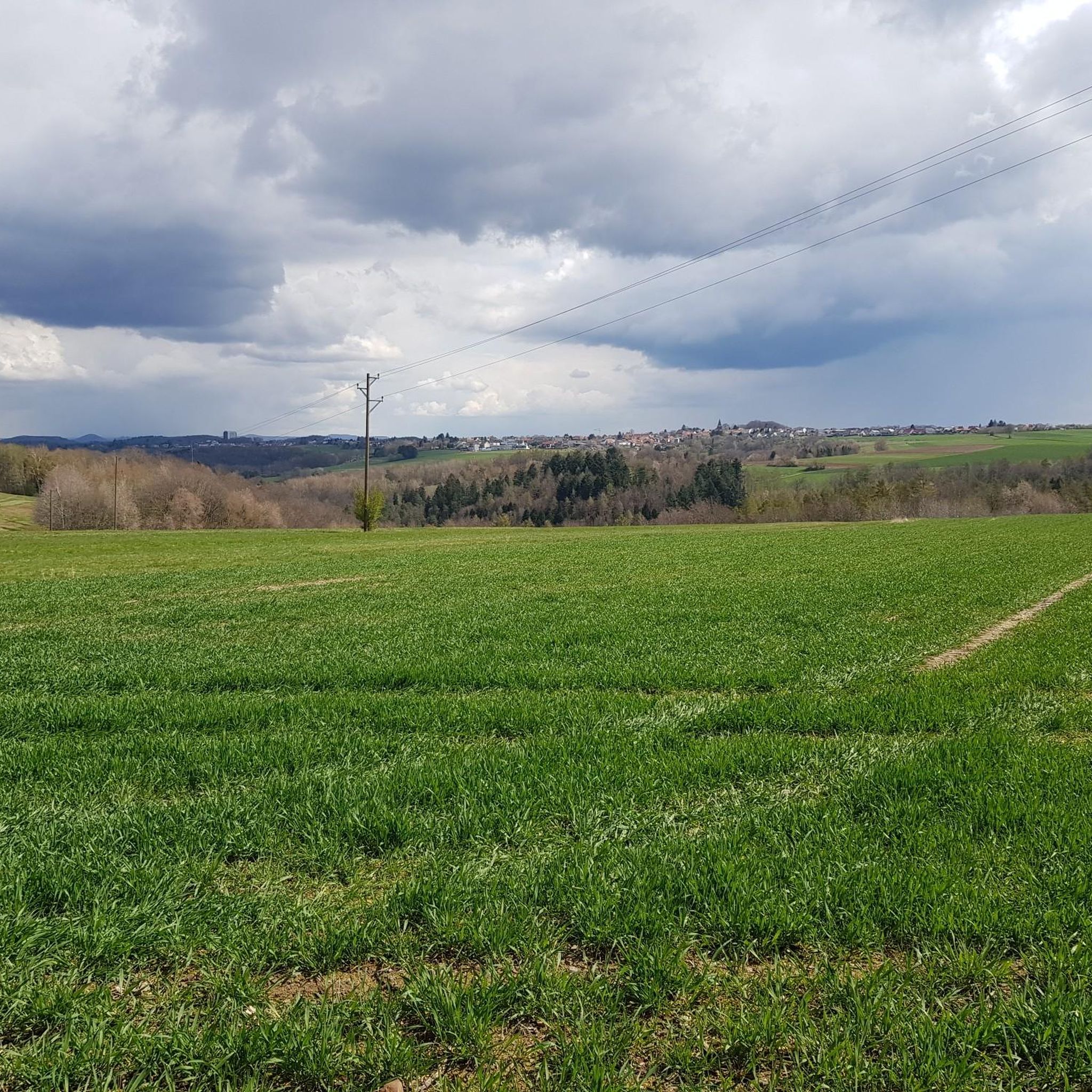
Jogging around Obersimten offers a variety of routes through its diverse landscape. The region is characterized by dense woodlands, gentle hills, and scenic water features like ponds and streams, providing varied terrain for runners. Many trails follow natural contours, offering a mix of flat sections and moderate ascents. This area provides numerous opportunities for outdoor activity, from leisurely runs to more challenging workouts.
Best jogging routes around Obersimten
- The most popular jogging route is Rest Area by the Gersbach Pond…
Last updated: July 5, 2026
20
runners
12.3km
01:22
190m
190m
Moderate run. Good fitness required. Mostly paved surfaces. Suitable for all skill levels.
17
runners
9.03km
00:57
60m
60m
Moderate run. Good fitness required. Mostly paved surfaces. Suitable for all skill levels.

Sign up for free
8
runners
10.5km
01:11
210m
210m
Moderate run. Good fitness required. Mostly paved surfaces. Suitable for all skill levels.
6
runners
6.46km
00:44
120m
120m
Moderate run. Good fitness required. Mostly paved surfaces. Suitable for all skill levels.
5.0
(1)
10
runners
7.06km
00:48
170m
170m
Moderate run. Good fitness required. Mostly paved surfaces. Suitable for all skill levels.
Get access to more routes and recommendations from other explorers.
Sign up for free
Already have an account?
Our route recommendations are based on thousands of hikes, rides, and runs completed by other people on komoot.
Start today with a free account
Your next adventure awaits.
Login or Signup
Tips from the Community

There are different options from where you can hike the tour, I went from the SV Erlenbrunn car park, but no matter where you start, it is a real premium hiking trail
2
0

Alternative to the starting point at the Naturfreundehaus
4
0


When I compare the photos of the carved devil in the highlight, "mine" looks like it has undergone a Botox treatment because the wrinkles (cracks) have disappeared.
3
0
The paths along the Gersbach in the local Gersbachtal are barrier-free. Anyone who turns onto one of the paths should have treaded soles and be sure-footed.
3
0

Lots of parking with direct starting point for the circular route
4
1
Nice place to take a break.
4
0

Great path along the rocks that turns into a beautiful trail
2
0
Frequently Asked Questions
How many running routes are available in the Obersimten area?
Obersimten offers a wide selection of running routes, with over 200 trails documented on komoot. These range from easy paths to more challenging runs, catering to various fitness levels.
Are there easy or beginner-friendly running routes in Obersimten?
Yes, Obersimten has a good selection of easy and accessible running paths. There are 25 routes specifically classified as easy, making them suitable for beginners or those looking for a more relaxed run.
What kind of terrain can I expect on the jogging trails around Obersimten?
The region is characterized by diverse terrain, including dense woodlands, gentle hills, and scenic water features like ponds and streams. Many trails follow natural contours, offering a mix of flat sections and moderate ascents, providing varied experiences for runners.
What do other runners enjoy most about jogging in Obersimten?
The running routes in Obersimten are highly rated by the komoot community, with an average score of 4.4 stars from over 200 reviews. Runners often praise the varied terrain, the peaceful woodlands, and the well-maintained paths that offer a great outdoor experience.
Are there any circular running routes in Obersimten?
Yes, many of the running routes in Obersimten are loops. For example, the Running loop from Vinningen is a moderate 4.0-mile (6.5 km) trail, perfect for a satisfying circular run.
Can I find running routes with water features or scenic views in Obersimten?
Absolutely. The region is known for its water features. You can explore routes like the Easy Stream Crossing – Log bridge at the Wahlbach loop from Trulben, which offers picturesque views and the tranquility of streams.
Are there any places to stop for refreshments or a break along the running trails?
Yes, Obersimten and its surroundings feature several huts and forest inns that can serve as great stops. You might find places like the Forest Inn "Forsthaus Beckenhof" or the Hilschberghaus near some routes, perfect for a break.
What are some notable natural attractions or landmarks I might see while running in Obersimten?
The area boasts several beautiful lakes and ponds. Along your run, you might encounter natural highlights such as Rössels Pond, Sägmühl Pond, or Spießweiher, offering scenic spots for a moment of rest.
What is the typical distance and elevation gain for running routes in Obersimten?
The routes vary significantly. For instance, the Running loop from Pirmasens is a moderate 5.6 miles (9.0 km) with about 194 feet (59 meters) of elevation gain. Other routes can be longer with more significant climbs, offering options for different training goals.
Is Obersimten suitable for longer distance running or trail running?
With over 200 routes, including 40 difficult trails, Obersimten provides ample opportunities for longer distance running and trail running. The varied terrain and extensive network of paths allow for challenging workouts and extended explorations through the woodlands and hills.
Are there any running routes that pass through valleys or offer unique natural experiences?
Yes, the region is known for its valleys. The Rodalbtal Water Fountain loop from Erlenbrunn is a popular 6.5-mile (10.5 km) trail that leads through the scenic Rodalbtal valley, offering a distinctive natural running experience.
Most popular routes around Obersimten
Most popular attractions around Obersimten

Get inspired with the komoot mobile app


Explore more
Browse the best Running Trails & Routes in other regions.
