The best running trails around Stockum-Püschen
4.3
(512)
5,301
runners
390
runs
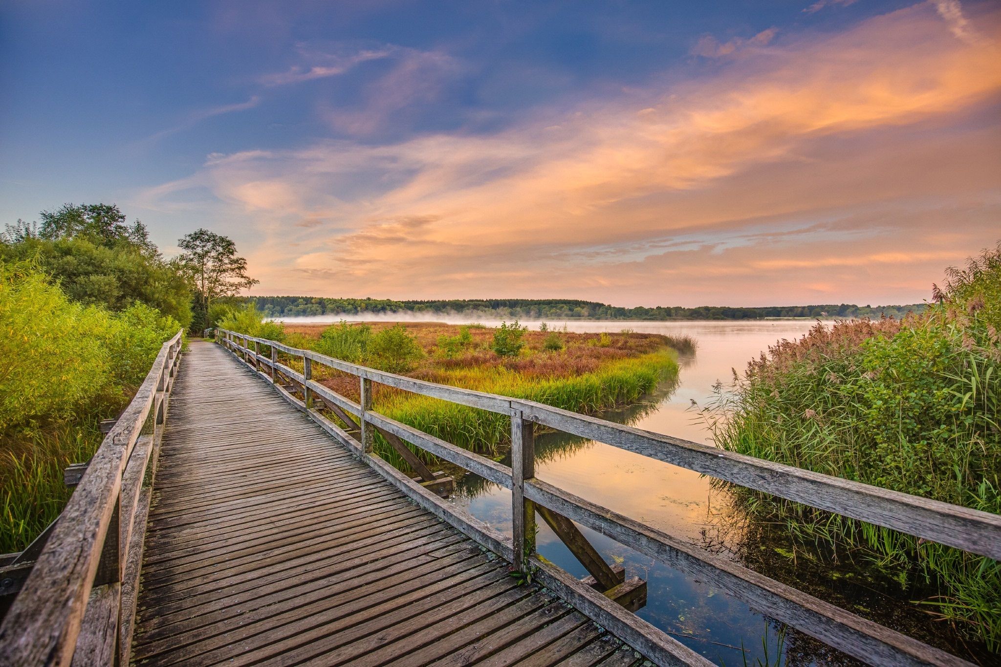
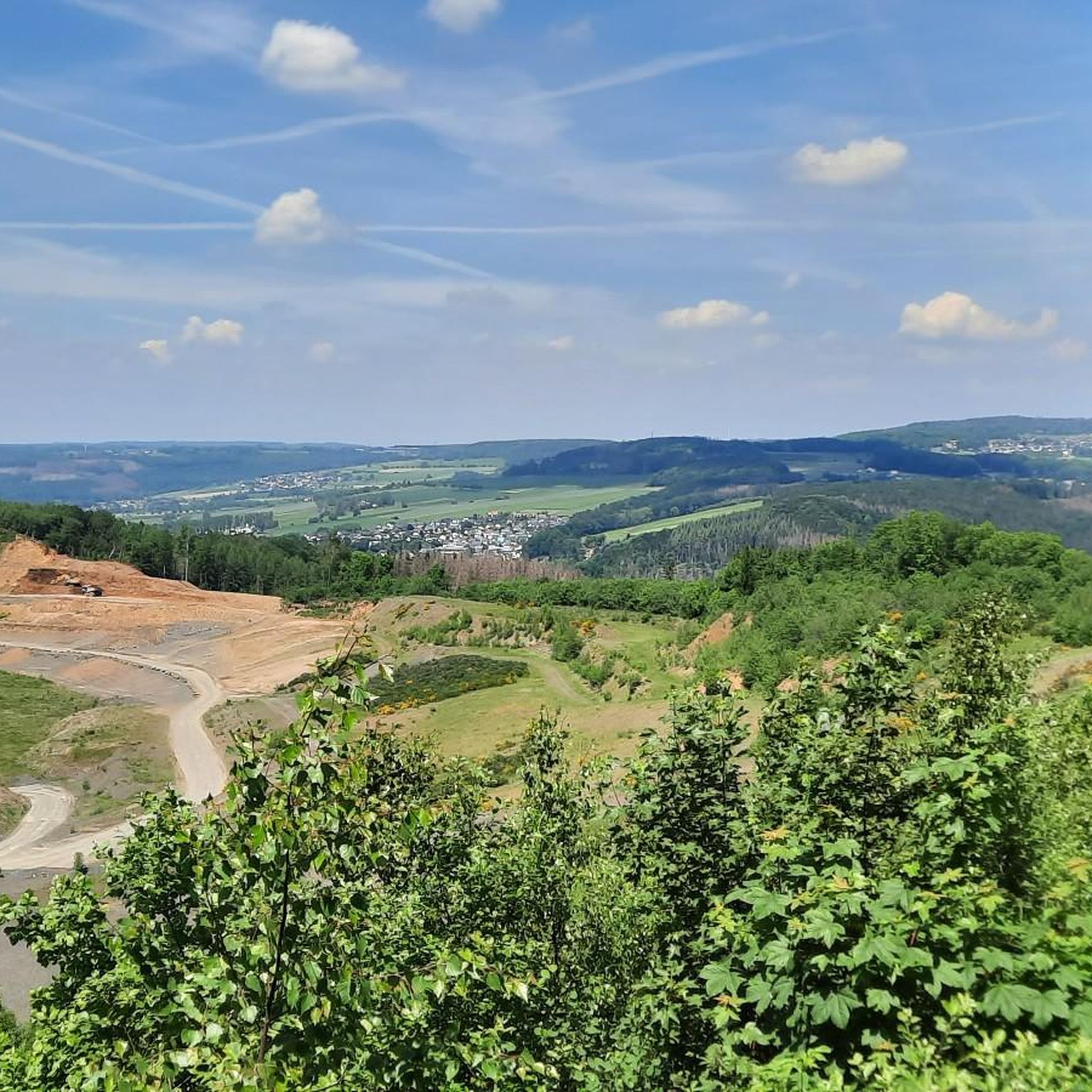
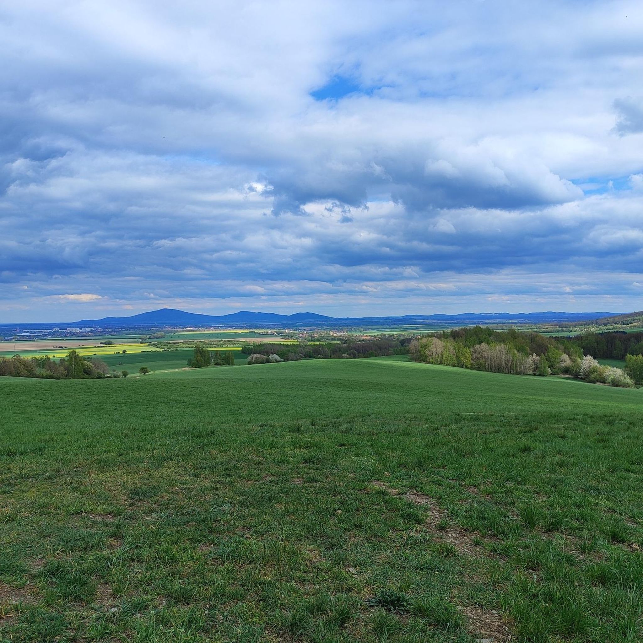
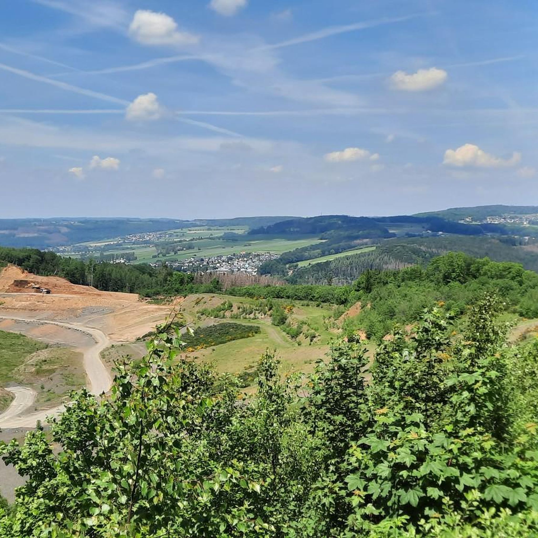
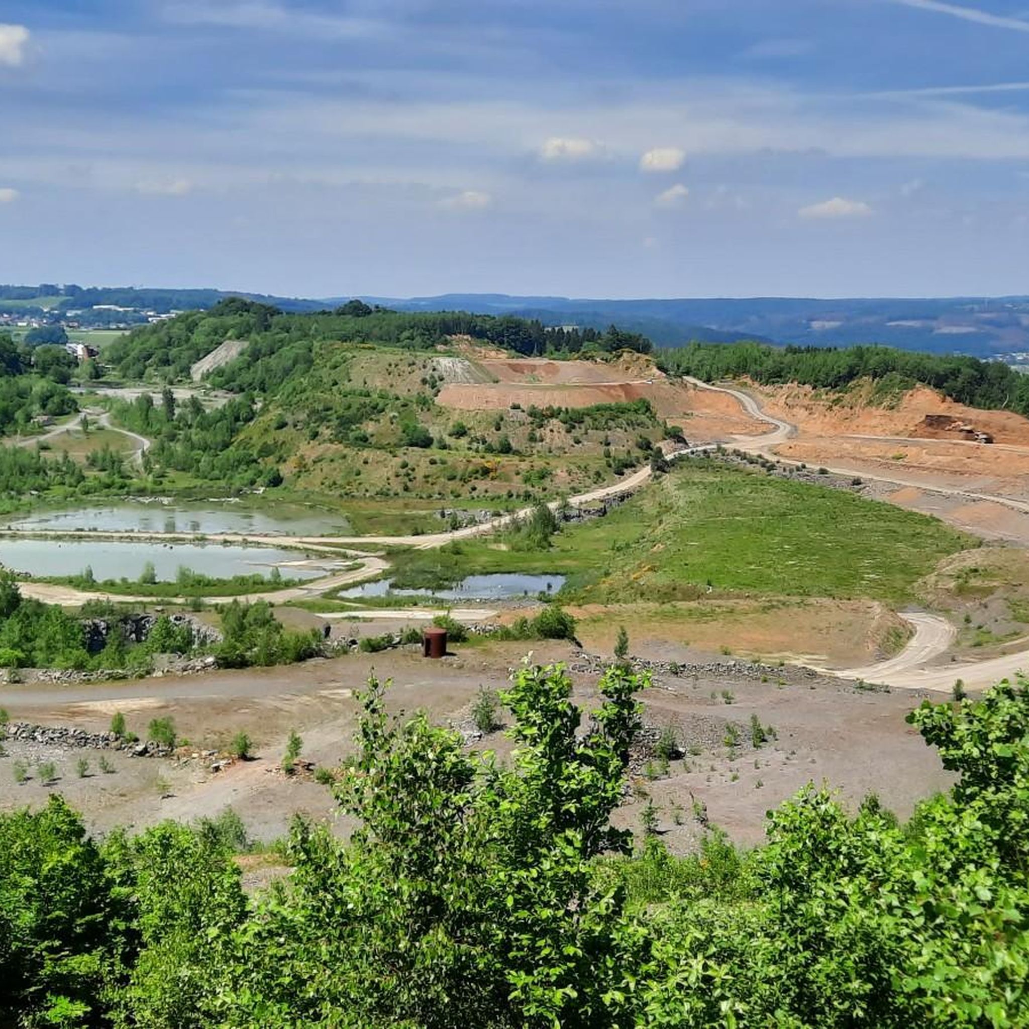
Jogging routes around Stockum-Püschen traverse an elevated landscape, ranging from 400 to 480 meters above sea level. The region features basalt hills like the Götzenberg and Stöffel, covered in species-rich deciduous forests and unique rock formations. This diverse topography provides an environment for runners seeking both challenging inclines and scenic paths. The area is characterized by gentle hills, dense forests, and expansive meadows typical of the Westerwald.
Best jogging routes around Stockum-Püschen
- The most popular jogging route is Crucifix Memorial…
Last updated: July 5, 2026
4.3
(3)
12
runners
Moderate run. Good fitness required. Mostly paved surfaces. Suitable for all skill levels.
9
runners
10.1km
01:07
90m
90m
Moderate run. Good fitness required. Mostly paved surfaces. Suitable for all skill levels.

Sign up for free
5.0
(3)
8
runners
Moderate run. Good fitness required. Mostly paved surfaces. Suitable for all skill levels.
8
runners
Moderate run. Good fitness required. Mostly paved surfaces. Suitable for all skill levels.
5
runners
5.29km
00:34
60m
60m
Moderate run. Good fitness required. Mostly paved surfaces. Suitable for all skill levels.
Get access to more routes and recommendations from other explorers.
Sign up for free
Already have an account?
Our route recommendations are based on thousands of hikes, rides, and runs completed by other people on komoot.
Start today with a free account
Your next adventure awaits.
Login or Signup
Other adventures around Stockum-Püschen

Tips from the Community

Very nice
0
0
... here you can linger directly at the parking lot, playground...
1
0
... well maintained!
1
0
Very nice and well maintained.
1
0
Great idea
1
0

Great for the (hopefully necessary) service on the go. Accompaniment with music possible 😜
3
0
Frequently Asked Questions
How many running routes are available in Stockum-Püschen?
There are over 330 running routes around Stockum-Püschen, offering a wide variety of options for all fitness levels. The komoot community has explored these trails over 4000 times.
What kind of terrain can I expect on the jogging trails around Stockum-Püschen?
The jogging routes in Stockum-Püschen traverse an elevated landscape, ranging from 400 to 480 meters above sea level. You'll find varied terrain, including basalt hills like the Götzenberg and Stöffel, species-rich deciduous forests, and unique rock formations, providing both challenging inclines and scenic paths.
Are there easy running routes suitable for beginners or families?
Yes, Stockum-Püschen offers over 50 easy running routes perfect for beginners or a relaxed family jog. A great option is the Running loop from Stockum-Püschen, which is 4.0 km long and features gentle paths.
Can I find challenging trails for more experienced runners?
Absolutely. For those seeking a challenge, there are nearly 30 difficult running routes. The region's basalt hills, like the Götzenberg, offer significant inclines. Longer routes such as the 'Stöffelmaus-Tour' (27 km) or 'W5, 27 km' provide extended runs through diverse landscapes.
Are there any dog-friendly running routes in the area?
Many trails in Stockum-Püschen are suitable for running with dogs. For example, the View of Markushof – Friendly Dogs in Westerwald loop from Neuhochstein is a moderate 10.8 km route that welcomes canine companions. Always ensure your dog is on a leash where required and respect local wildlife.
Are there circular running routes available?
Yes, the majority of running routes in Stockum-Püschen are circular, allowing you to start and end at the same point. A popular moderate option is the Röhrshahn loop from Stockum-Püschen, which covers 10.1 km.
What scenic viewpoints or natural attractions can I see along the running routes?
The region is rich in natural beauty. You can enjoy views of the impressive rock formations at the Stöffel, or explore the species-rich deciduous forests of the Götzenberg. For longer runs, the Wiesensee and the Westerwälder Seenplatte (Westerwald Lake District) are nearby, offering picturesque waterside routes. You might also encounter highlights like the Waterfall in the Holzbach Gorge.
Are there any routes that pass by lakes or water features?
Yes, several routes offer views of or pass by beautiful water features. The Dreifelder Pond and the Wiesensee are both within easy reach, providing refreshing scenery for your run. You can also find the Schwarze Nister river in Bacher Lay.
What do other runners say about the trails in Stockum-Püschen?
The running routes in Stockum-Püschen are highly rated by the komoot community, with an average score of 4.3 stars from over 390 reviews. Runners often praise the varied terrain, the refreshing natural settings, and the well-maintained paths through forests and past unique geological features.
Are there any routes that include historical or industrial landmarks?
Yes, the region uniquely blends nature with industrial heritage. The Stöffel, known as the largest basalt mining area in northern Rhineland-Palatinate, features impressive rock formations and quarry faces. Routes like the 'Stöffelmaus-Tour' or 'Rund um den Stöffel' integrate this unique backdrop into your run, offering a distinctive experience.
Is there parking available near the running trails?
While specific parking spots are not listed for every trail, Stockum-Püschen and its surrounding villages generally offer public parking options. Many trailheads, especially those starting from villages or popular attractions like the Stöffel Park, will have designated parking areas.
Can I access running trails using public transport?
Public transport access varies by specific trailhead. While Stockum-Püschen is a rural area, local bus services connect it to larger towns. It's advisable to check local bus schedules and routes to determine the best access points for your chosen running trail.
Most popular routes around Stockum-Püschen
Most popular attractions around Stockum-Püschen

Get inspired with the komoot mobile app


Explore more
Browse the best Running Trails & Routes in other regions.
