The best running trails around Weiskirchen
4.5
(31)
732
runners
51
runs
Jogging around Weiskirchen offers a variety of routes through diverse landscapes. The region is characterized by its rolling hills, dense woodlands, and scenic valleys, providing a natural setting for outdoor activity. Runners can expect paths that wind through forests, alongside streams, and past open fields. The terrain typically includes a mix of paved and unpaved surfaces, with some elevation changes.
Best jogging routes around Weiskirchen
- The most popular jogging route is Devil's Rock – Hoher Felsen loop from Weiskirchen,…
Last updated: October 13, 2026
5.0
(3)
179
runners
16.1km
01:56
450m
450m
Hard run. Very good fitness required. Sure-footedness, sturdy shoes and alpine experience required.
5.0
(1)
155
runners
30.9km
03:51
890m
890m
Hard run. Very good fitness required. Sure-footedness, sturdy shoes and alpine experience required.

5.0
(2)
38
runners
Moderate run. Good fitness required. Mostly paved surfaces. Suitable for all skill levels.
4.5
(2)
35
runners
11.9km
01:29
290m
290m
Moderate run. Good fitness required. Mostly paved surfaces. Suitable for all skill levels.
4.0
(3)
23
runners
7.12km
00:45
80m
80m
Moderate run. Good fitness required. Mostly paved surfaces. Suitable for all skill levels.
Get access to more routes and recommendations from other explorers.
Already have an account?
Our route recommendations are based on thousands of hikes, rides, and runs completed by other people on komoot.
Start today with a free account
Your next adventure awaits.
Popular around Weiskirchen

Saar-Hunsrück Climb – Hike in Germany where culture and nature meet
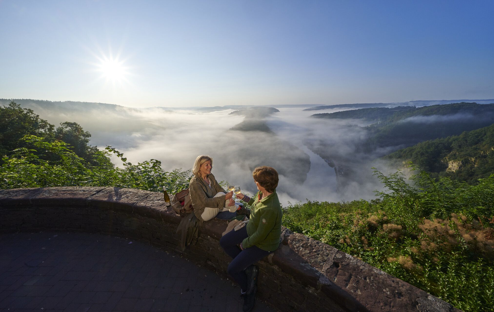
Hiking joy in Saarschleifenland

Hike with BUND on the trail of the European wildcat

Satisfy your Wanderlust – premium hiking trails in Saarland

Countless trails, nature & history – hiking in Saarland
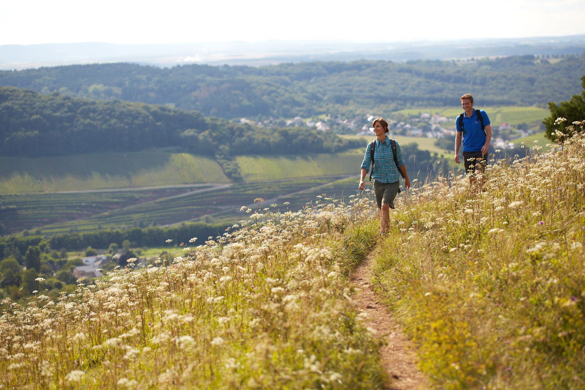
The ten most beautiful hiking trails through Saarland in Germany
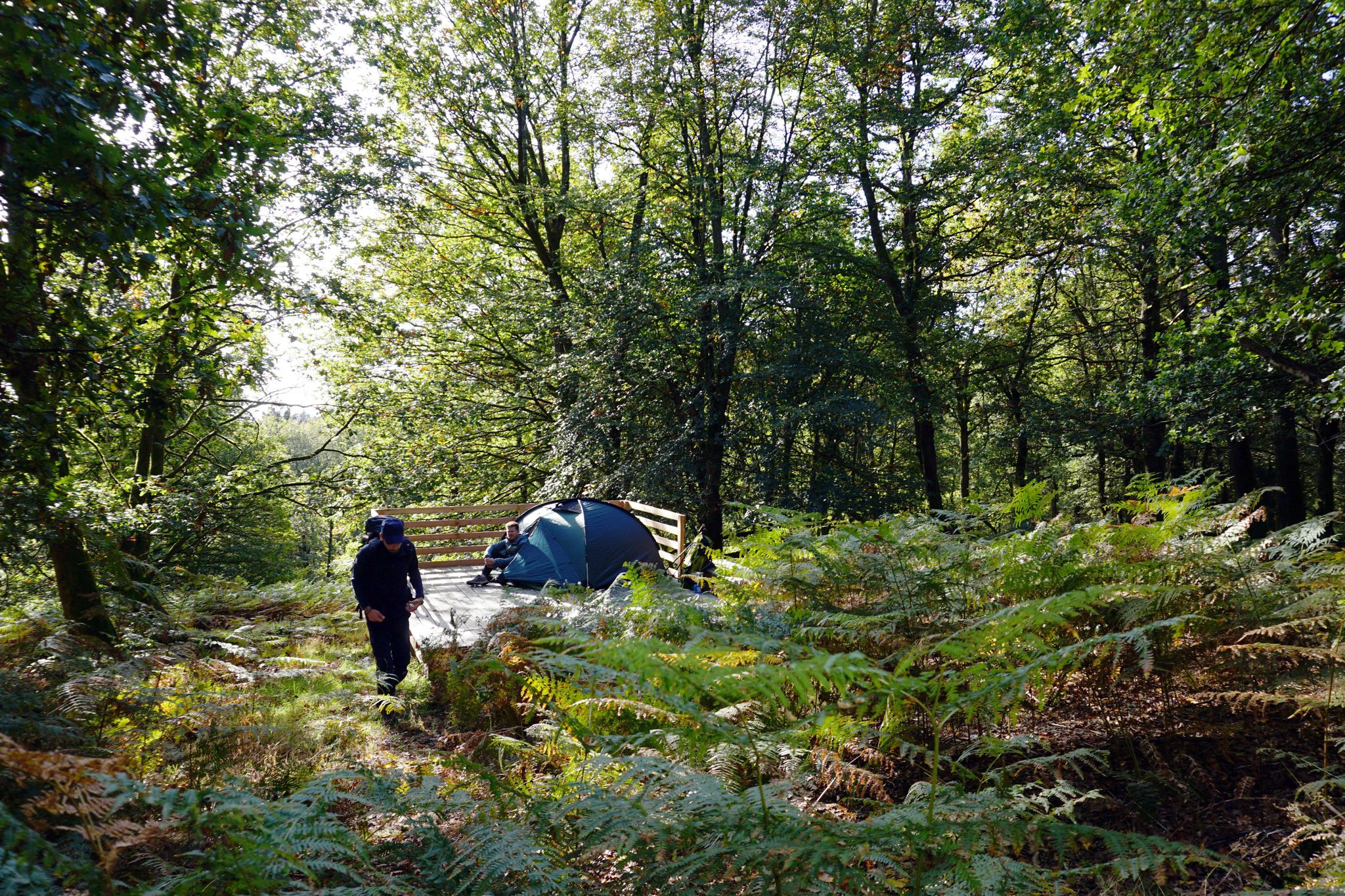
Trekkingfeeling auf dem Saar-Hunsrück-Steig – von Campground zu Campground
Hiking around Weiskirchen
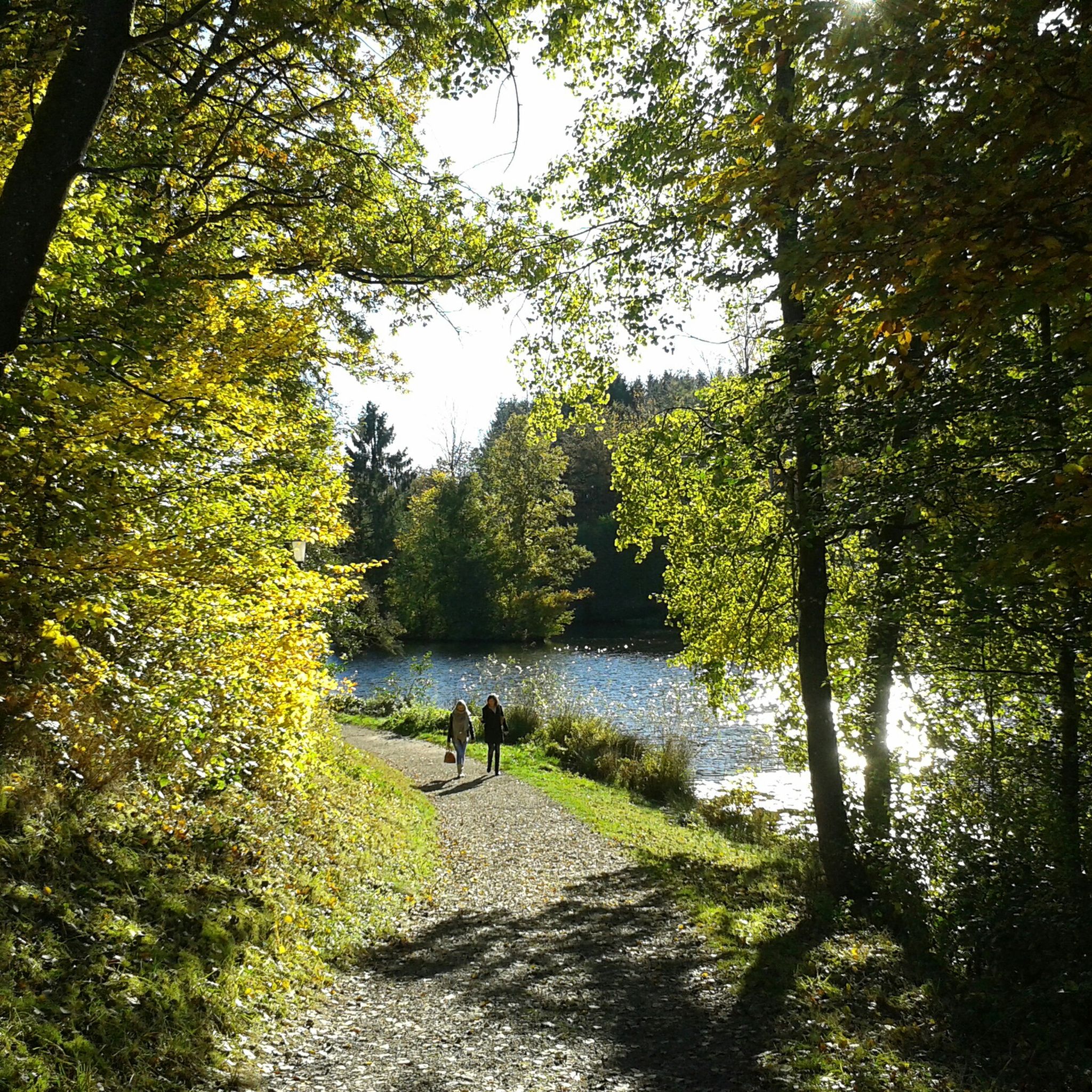
Cycling around Weiskirchen
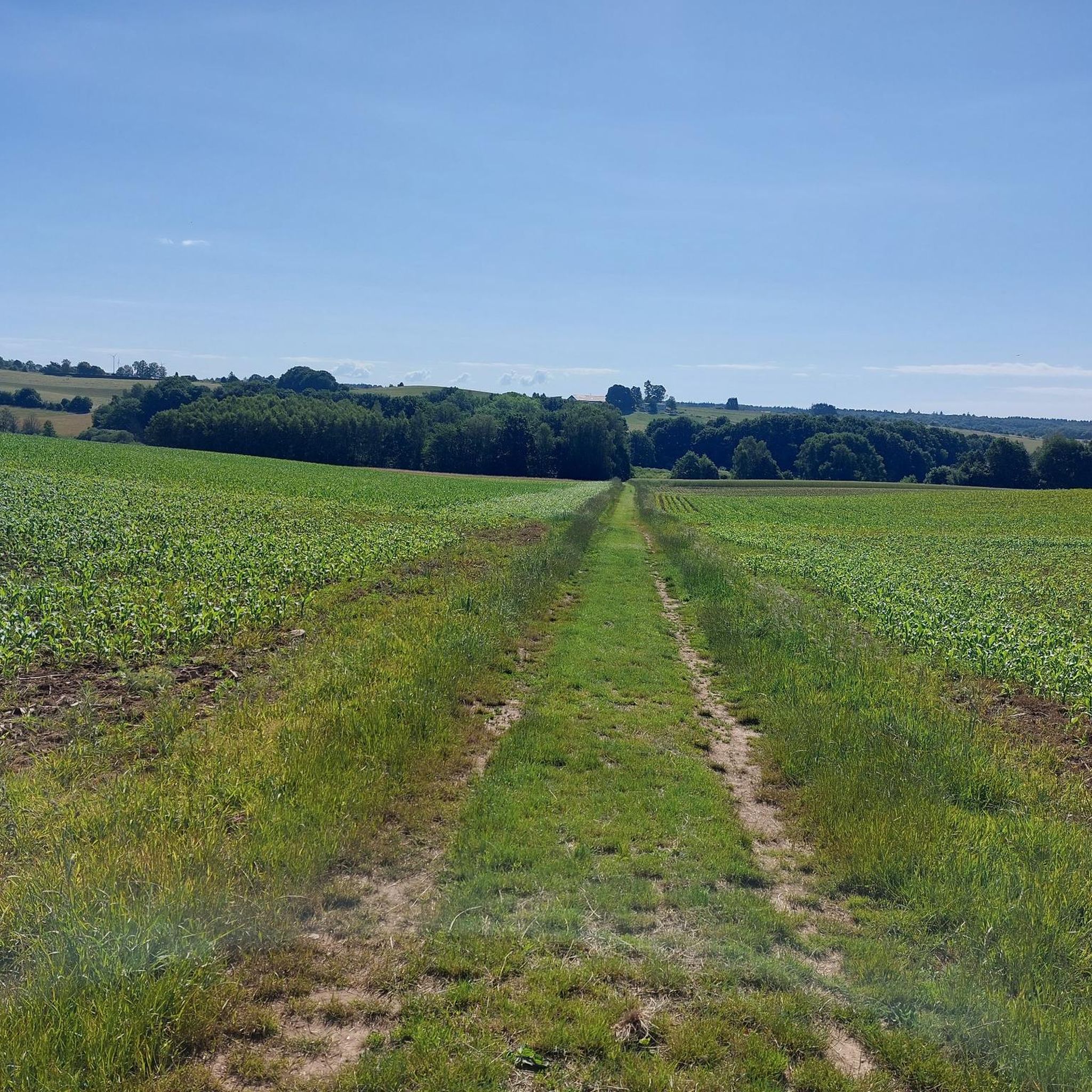
Road Cycling Routes around Weiskirchen
Other adventures around Weiskirchen


Tips from the Community

This folding roof church was built in 1963/64 (Architect: Hanns Schönecker). Predecessor buildings were a chapel from 1269 and a church from 1868. Source: https://www.pfarrei-losheim.de/orte-von-kirche/kirchen/waldhoelzbach/ "In the 50s and 60s, a series of remarkable modern sacred buildings were erected in Saarland. [Here] stands one of the first consistently modern sacred buildings in northern Saarland […]." Source: Information board on site (quote from the DuMont art travel guide "Das Saarland", 1992, by Fred Oberhauser)
1
0

wild and rustic, to be walked on narrow stone and root paths
0
0

A peaceful stream accompanies part of the trail, gurgling through the forest and creating a relaxing atmosphere. 💡 Tip: Stop for a moment and listen—perfect for switching off.
0
1

Today beautiful in a sea of yellow flowering broom
1
0
Well, round is a bit of an exaggeration, but it's a nice view down to the Hölzbach.
1
0
But when there is a lot of water, the beautiful jetty also makes a lot of sense ;-)
1
0


Frequently Asked Questions
How many running routes are available around Weiskirchen?
There are over 50 running routes around Weiskirchen, offering a wide range of options for different fitness levels. These trails wind through diverse landscapes, including dense woodlands, rolling hills, and scenic valleys.
Are there easy jogging routes suitable for beginners in Weiskirchen?
Yes, Weiskirchen offers several easy running routes perfect for beginners or those looking for a relaxed jog. One excellent option is the Kurpark Pond – Kurpark Pond loop from Weiskirchen, which is just under 3 miles (4.6 km) long and features minimal elevation changes.
What are the typical lengths of jogging trails in Weiskirchen?
Running trails in Weiskirchen vary significantly in length. You can find shorter routes, like the easy 3-mile loop around Kurpark Pond, up to more challenging runs such as the Devil's Rock – Hoher Felsen loop, which spans nearly 10 miles (16 km).
Can I find circular running routes in Weiskirchen?
Yes, many of the running routes in Weiskirchen are circular, allowing you to start and end at the same point. For example, the Picnic Area at Wahnbach – Herberloch Pond loop is a popular circular trail leading through woodlands and past water features.
Are there any scenic viewpoints or natural attractions along the running routes?
Absolutely! The region is known for its natural beauty. Along various routes, you might encounter highlights such as Devil's Rock, offering panoramic views, or tranquil water bodies like the Keller Reservoir and Noswendeler Lake. The Eulenfels Cave – Iltis Rocks loop also offers interesting rock formations.
What do other runners enjoy most about jogging in Weiskirchen?
The running routes in Weiskirchen are highly rated by the komoot community, with an average score of 4.6 stars. Reviewers often praise the diverse terrain, the tranquility of the dense woodlands, and the well-maintained paths that offer a mix of paved and unpaved surfaces.
Are there any running routes that offer shade, especially during warmer months?
Given Weiskirchen's characteristic dense woodlands, many running routes provide ample shade, making them pleasant even on sunnier days. Trails that wind through forests, such as sections of the Weierweiler Mühle Campsite loop, are good choices for shaded running.
Are there any historical landmarks or castles near the running trails?
Yes, the region around Weiskirchen is rich in history. While jogging, you might be close to historical sites like Grimburg Castle or Münchweiler Castle. These offer interesting points of interest to explore before or after your run.
What is the best time of year for running in Weiskirchen?
Weiskirchen offers enjoyable running conditions throughout much of the year. Spring and autumn provide pleasant temperatures and beautiful scenery with blooming flowers or vibrant fall foliage. Summer is also suitable, especially on shaded forest trails, while winter runs can be picturesque, though some paths might be slippery.
Are there running routes that pass by water features or ponds?
Yes, several routes incorporate water features. The Picnic Area at Wahnbach – Herberloch Pond loop is a prime example, leading directly past ponds. Additionally, the Kurpark Pond loop offers a serene run around a local pond.
Are there any challenging running routes for experienced trail runners?
For experienced trail runners seeking a challenge, Weiskirchen has routes with significant elevation gain and varied terrain. The Devil's Rock – Hoher Felsen loop from Weiskirchen is classified as difficult, covering nearly 10 miles with considerable ascents and panoramic views.
Most popular routes around Weiskirchen
Most popular attractions around Weiskirchen

Get inspired with the komoot mobile app


Explore more
Browse the best Running Trails & Routes in other regions.
