The best mountain hikes around Dohma
4.8
(66)
247
hikers
34
hikes
Mountaineering routes around Dohma are situated within the unique landscape of Saxon Switzerland, characterized by its distinctive sandstone formations, deep gorges, and dense forests. The region offers a diverse terrain for mountaineers, ranging from challenging climbs on rock pinnacles to more accessible paths through river valleys. Elevation changes are common, providing varied ascents and descents across the area.
Best mountaineering routes around Dohma
- The most popular mountaineering route is Pfaffenstein – Bellohöhle loop from Königstein (Sächs Schweiz) Hp, a…
Last updated: September 28, 2026
5.0
(4)
14
hikers
9.33km
03:11
450m
450m
Hard mountaineering route. Good fitness required. Sure-footedness, sturdy shoes and alpine experience required.
4.5
(2)
4
hikers
5.64km
01:39
120m
120m
Moderate mountaineering route. Great for any fitness level. Mostly accessible paths. Sure-footedness required.

5.0
(2)
4
hikers
Hard mountaineering route. Very good fitness required. Sure-footedness, sturdy shoes and alpine experience required.
5.0
(3)
9
hikers
8.74km
02:35
230m
230m
Moderate mountaineering route. Good fitness required. Mostly accessible paths. Sure-footedness required.
2
hikers
Hard mountaineering route. Good fitness required. Sure-footedness, sturdy shoes and alpine experience required.
Get access to more routes and recommendations from other explorers.
Already have an account?
Our route recommendations are based on thousands of hikes, rides, and runs completed by other people on komoot.
Start today with a free account
Your next adventure awaits.
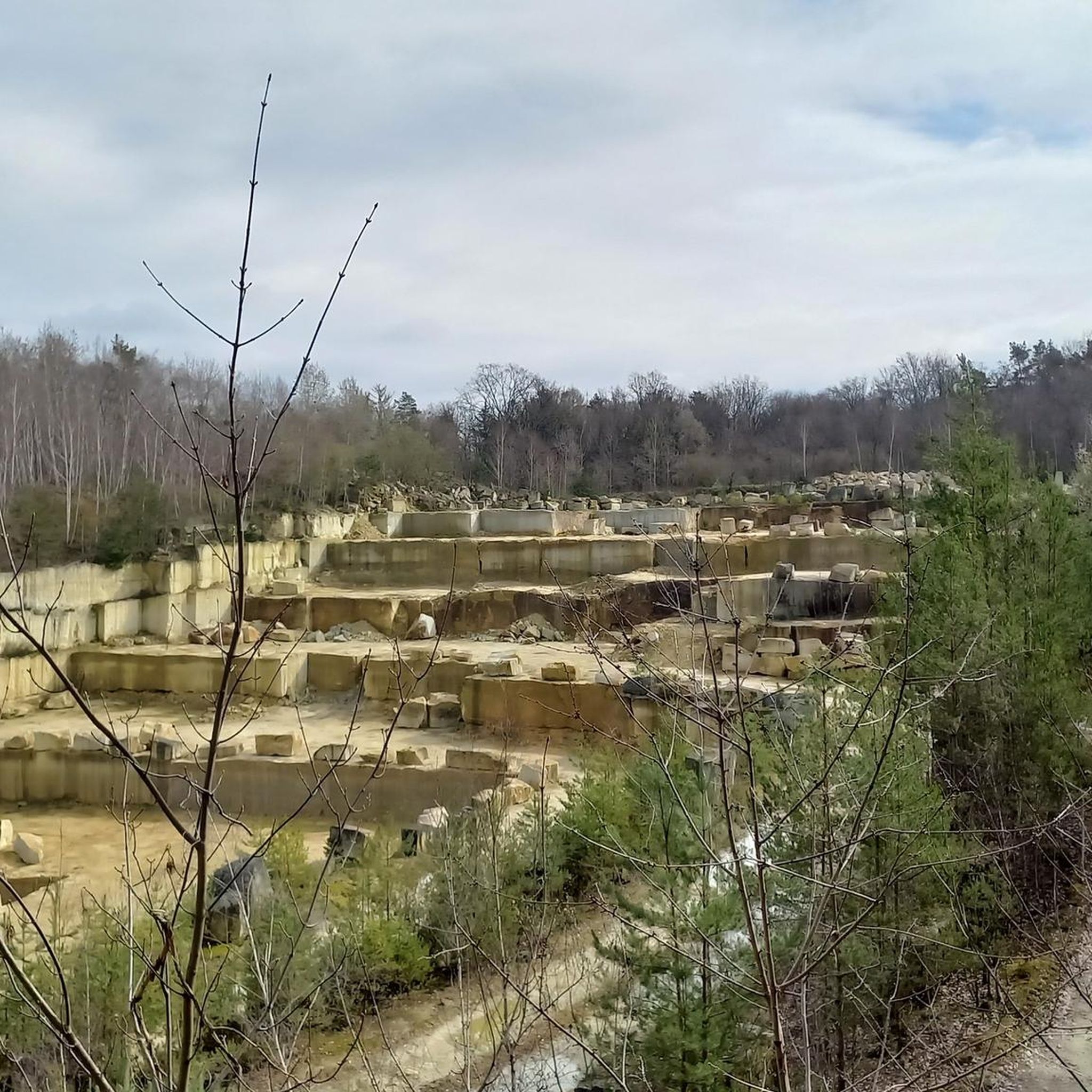
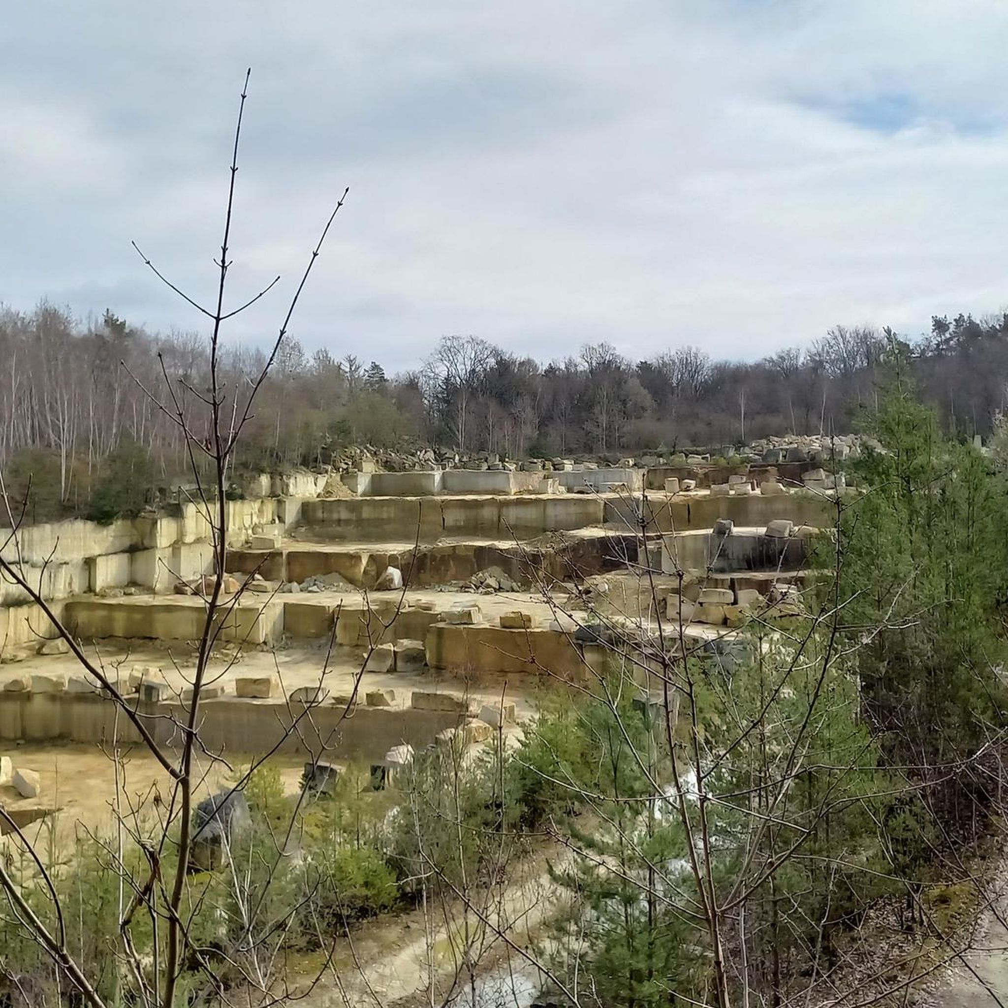
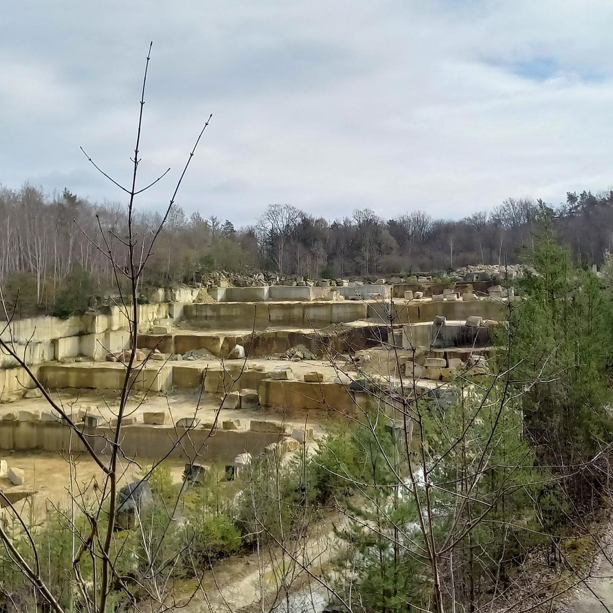
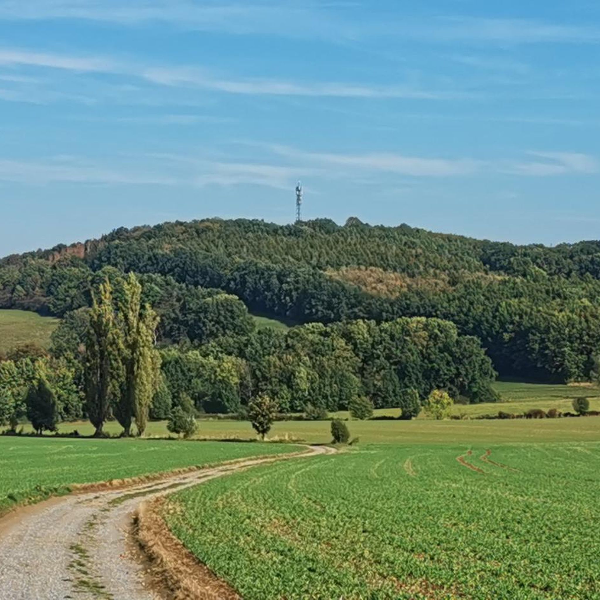
Tips from the Community


Tuck your head in! I hit the rock. Luckily with a helmet 😑🤕
0
0

rather not so impressive - unfortunately no good view, as everything has overgrown
0
0

Gustav Egidius Heynhold (1798–1862) was a well-known Saxon botanist who intensively studied the region's flora (among other things, he authored works on botanical nomenclature and garden plants). It is a memorial plaque attached directly to the rock or as an inscription tablet on a rock slab at the roadside with the inscription “TO THE MEMORY OF GUSTAV HEYNHOLD 1862”.
1
0

The Malerweg also leads along here. All information about the Malerweg can be found at the following link: https://www.saechsische-schweiz.de/malerweg (Status: 22.06.2026)
0
0

Very nice ridge trail, with many stairs and small bridges. You always have great views, especially towards the Bastei.
0
0

It's simply absolutely beautiful here 😊.
1
0
Frequently Asked Questions
How many mountaineering routes are available around Dohma?
There are over 40 mountaineering routes around Dohma, offering a diverse range of experiences. These include 1 easy route, 22 moderate routes, and 19 difficult routes, catering to various skill levels.
Are there any easy mountaineering routes suitable for beginners or families near Dohma?
Yes, there is at least one easy mountaineering route. For those looking for a moderate but accessible option, the Kleiner Bärenstein – View from Großer Bärenstein loop from Stadt Wehlen is a good choice. It's 3.2 miles (5.1 km) long and offers panoramic views, making it suitable for families or those new to mountaineering.
What are some challenging mountaineering trails in the Dohma area?
For experienced mountaineers seeking a challenge, there are 19 difficult routes available. A notable option is the Goldschmidt Cave – Pfaffenstein loop from Königstein (Sächs Schweiz) Hp, which spans 9.8 miles (15.7 km) and involves significant elevation changes, typically taking over 5 hours to complete.
What kind of natural landmarks or attractions can I see along the mountaineering routes?
The routes around Dohma are known for their unique sandstone formations and caves. You might encounter features like the Pfaffenstein plateau, the Bellohöhle cave, or the Goldschmidt Cave. Additionally, the region is home to several other interesting caves such as Teufelsschlüchte (Devil's Gorges) and Lichter Cave.
Are there any circular mountaineering walks around Dohma?
Many of the mountaineering routes around Dohma are designed as loops, allowing you to start and end in the same location. Examples include the popular Pfaffenstein – Bellohöhle loop from Königstein (Sächs Schweiz) Hp and the Pfaffenstein – Barbarine Rock Pinnacle loop from Königstein.
What is the typical duration for mountaineering routes in this region?
The duration of routes varies significantly based on their length and difficulty. Shorter, moderate routes like the Kleiner Bärenstein loop can take around 1 hour 30 minutes, while longer, more challenging trails such as the Goldschmidt Cave – Pfaffenstein loop can require over 5 hours.
Is public transport available to reach the mountaineering trailheads near Dohma?
Yes, several routes are accessible via public transport. For instance, routes like the Pfaffenstein – Bellohöhle loop and the Goldschmidt Cave – Pfaffenstein loop start from Königstein (Sächs Schweiz) Hp, which is a train station, making them convenient for those using public transport.
What is the best time of year to go mountaineering around Dohma?
The Saxon Switzerland region, including Dohma, is generally best for mountaineering from spring through autumn (April to October). During these months, the weather is typically more stable, and the trails are clear of snow and ice, offering optimal conditions for exploring the sandstone landscapes and forests.
Are there any permits required for mountaineering in the Dohma area?
Generally, no specific permits are required for hiking or mountaineering on marked trails in the Saxon Switzerland National Park region. However, it's always advisable to respect local regulations, stay on designated paths, and be aware of any temporary closures, especially in climbing areas.
What do other mountaineers say about the routes around Dohma?
The mountaineering routes around Dohma are highly rated by the komoot community, with an average score of 4.8 stars from over 100 reviews. Reviewers often praise the unique sandstone formations, the diverse terrain, and the stunning panoramic views from peaks like the Bärenstein.
Are there any hidden gem mountaineering routes near Dohma that are less crowded?
While many routes are popular, exploring some of the less-trafficked moderate or difficult trails can offer a more secluded experience. Consider routes that venture deeper into the forests or focus on specific rock formations away from the main tourist hubs to discover quieter paths.
Most popular attractions around Dohma

Get inspired with the komoot mobile app


Explore more
Browse the best Mountain Hikes & Routes in other regions.
