The best running trails around Grünhainichen
4.5
(529)
3,013
runners
21
runs
Jogging routes around Grünhainichen offer diverse terrain across the Erzgebirgskreis region, characterized by expansive forests, rolling mountains, and scenic valleys. The area features a well-established network of paths suitable for various fitness levels, from relatively flat routes along rivers like the Flöha and Zschopau to more demanding trails with significant elevation changes. This varied topography provides a dynamic environment for running, incorporating natural features and historical landmarks.
Best jogging routes around Grünhainichen
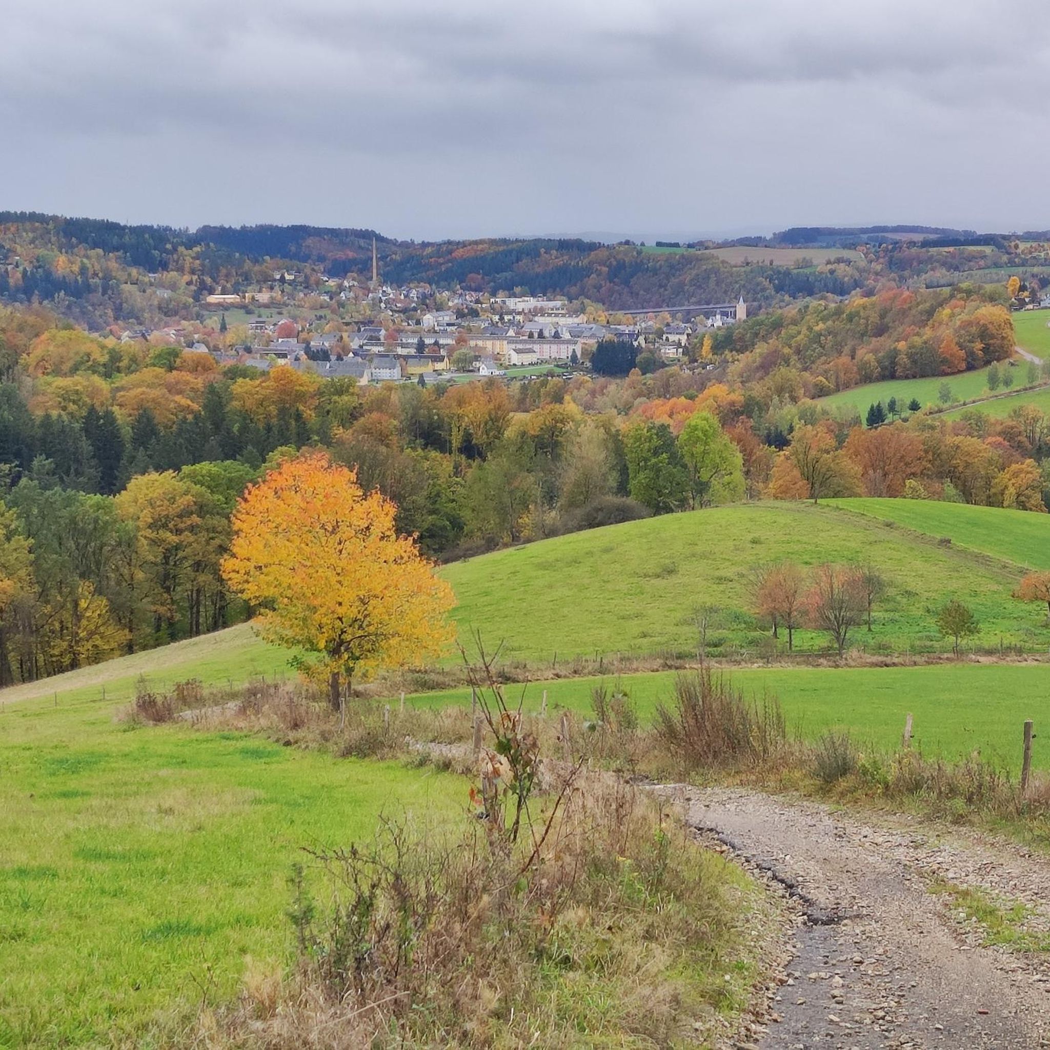
- The most popular jogging route is View of…
Last updated: June 24, 2026
21
runners
Moderate run. Good fitness required. Mostly paved surfaces. Suitable for all skill levels.
4.0
(4)
18
runners
Moderate run. Good fitness required. Mostly paved surfaces. Suitable for all skill levels.

Sign up for free
7
runners
8.70km
00:56
150m
150m
Moderate run. Good fitness required. Mostly paved surfaces. Suitable for all skill levels.
7
runners
3.72km
00:26
60m
60m
Easy run. Great for any fitness level. Mostly paved surfaces. Suitable for all skill levels.
5.0
(1)
5
runners
4.85km
00:31
40m
40m
Easy run. Great for any fitness level. Mostly paved surfaces. Suitable for all skill levels.
Get access to more routes and recommendations from other explorers.
Sign up for free
Already have an account?
Our route recommendations are based on thousands of hikes, rides, and runs completed by other people on komoot.
Start today with a free account
Your next adventure awaits.
Login or Signup




Tips from the Community

Wonderful part of the Flöha valley cycle path
0
0

good relaxed forest path for hiking or walking
0
0
always beautiful to see as a meadow of crocuses in spring
0
0
somewhat hidden in the forest
0
0

The ultimate heat-escape hack for summer! Wonderfully cold water for water treading and a beautiful barefoot path. Parent tip: Don't forget to pack a small towel in your backpack! You can air dry, but it's more relaxed with a towel. 💦 Checked by @wanderfamilie.erzgebirge
0
0
Absolute motivation booster for the kids! Definitely take the time for the puzzle on site. The labyrinth is also great to reach with a buggy or balance bike. Practical for parents: There is also a forest toilet right here. 🌲 Checked by @wanderfamilie.erzgebirge
0
0

Forest labyrinth with quiz questions and fun for young and old. At the end, there is also an opportunity for a refreshment that you have brought yourself.
0
0

The bridge is located in Hohenfichte, a district of the municipality of Leubsdorf, and connects Hohenfichte on the left with Metzdorf on the right bank of the Flöha.
12
1
Frequently Asked Questions
How many running routes are available around Grünhainichen?
Grünhainichen and its surroundings offer a wide selection of running routes. You can find over 15 routes, catering to various preferences and fitness levels, from easy jogs to more challenging trails.
What kind of terrain can I expect on jogging routes in Grünhainichen?
The region boasts diverse terrain, characterized by expansive forests, rolling mountains, and scenic valleys. You'll find a mix of relatively flat paths along rivers like the Flöha and Zschopau, as well as more demanding trails with significant elevation changes through the Ore Mountains.
Are there running routes suitable for beginners or those looking for an easy jog?
Yes, Grünhainichen offers several easy running trails. For instance, the Running loop from Waldkirchen is a gentle 4.0 km (2.5 miles) path that can be completed in about 27 minutes, perfect for a relaxed run.
What if I'm looking for a more challenging running experience with significant elevation?
For experienced runners seeking a challenge, Grünhainichen has routes with notable elevation gains. A prime example is the View of the Saidenbach Reservoir – Saidenbach Reservoir loop from Grünhainichen-Borstendorf, a difficult 34.3 km (21.3 miles) trail featuring substantial ascents and views of the reservoir.
Are there any scenic viewpoints or natural landmarks to see while running?
Absolutely! The region is rich in natural beauty and historical landmarks. You might encounter impressive sights like the Hetzdorfer Viadukt, the charming Covered Wooden Bridge Hohenfichte, or the magnificent Kunnerstein viewpoint offering expansive views over the Zschopau river valley. Many routes also pass through extensive woodlands and along riverbanks.
Can I find routes that pass by water features like dams or reservoirs?
Yes, the area features several beautiful water bodies. You can find routes that incorporate dams and reservoirs, such as the Outhouse – Röthenbach Dam loop from Zweistein. Other notable water features include the Neunzehnhain II Dam and the Saidenbach Reservoir.
What do other runners say about the trails in Grünhainichen?
The running routes in Grünhainichen are highly regarded by the komoot community, with an average rating of 4.6 stars from over 490 reviews. Runners often praise the varied terrain, the tranquility of the extensive woodlands, and the well-maintained path network that allows for diverse running experiences.
Are there any circular running paths available?
Many of the running routes around Grünhainichen are designed as loops, offering convenient circular paths. For example, the Running loop from Zweistein is an easy 4.7 km (2.9 miles) circular route, perfect for a quick and enjoyable run.
Are the running trails in Grünhainichen suitable for families?
Yes, many of the easier and moderate routes are suitable for families looking to enjoy a run together. The extensive network of paths through forests and valleys provides a pleasant environment for all ages, though specific routes should be chosen based on the family's fitness level and the terrain.
Is it possible to access the trailheads using public transport?
While specific public transport connections to every trailhead might vary, Grünhainichen and its surrounding villages are generally accessible within the Erzgebirgskreis region. It's advisable to check local bus schedules for connections to specific starting points before your run.
Are there any routes that follow river valleys?
Yes, the region is characterized by its river valleys, including the Flöha and Zschopau. The Flöha River Bridge Crossing – Water Facility loop from Grünhainichen is a moderate 5.4 km (3.4 miles) route that incorporates a river crossing, offering scenic views along the water.
Most popular routes around Grünhainichen
Most popular attractions around Grünhainichen

Get inspired with the komoot mobile app


Explore more
Browse the best Running Trails & Routes in other regions.
