The best MTB trails around Saulx-Lès-Champlon
3.8
(9)
132
riders
11
rides
Mountain biking around Saulx-Lès-Champlon offers diverse landscapes for outdoor enthusiasts. The region is characterized by a plain near the Longeau river, featuring numerous ponds and extensive wooded areas. This varied terrain provides a network of mountain bike trails suitable for different skill levels, from easy rides to more challenging routes.
Best mountain bike trails around Saulx-Lès-Champlon
- The most popular mountain bike trail is Tavannes Tunnels loop from Haudiomont, a 29.5 miles (47.5 km) trail that takes 4 hours 9…
Last updated: July 5, 2026
4.5
(2)
40
riders
46.5km
04:04
570m
570m
Moderate mountain bike ride. Good fitness required. Suitable for all skill levels.
17
riders
55.5km
04:59
1,000m
1,000m
Hard mountain bike ride. Very good fitness required. Suitable for all skill levels.

Sign up for free
1.0
(1)
4
riders
16.2km
01:27
210m
210m
Easy mountain bike ride. Great for any fitness level. Suitable for all skill levels.
5.0
(1)
8
riders
28.2km
02:26
460m
460m
Moderate mountain bike ride. Good fitness required. Suitable for all skill levels.
2
riders
24.5km
02:10
360m
360m
Moderate mountain bike ride. Good fitness required. Suitable for all skill levels.
Get access to more routes and recommendations from other explorers.
Sign up for free
Already have an account?
Our route recommendations are based on thousands of hikes, rides, and runs completed by other people on komoot.
Start today with a free account
Your next adventure awaits.
Login or Signup


Tips from the Community

Beautifully situated at Foxycamp campsite. The campsite is simple but wonderfully peaceful (we were there in early September) and run by very friendly owners. Virtually no mobile phone reception also ensures peace and quiet.
0
0

The Tomb of Tavannes Nearly a thousand men died in the tunnel on September 4, 1916. Never forget 💮.
3
0

The Tavannes Tunnel was built between 1873 and 1874. It is a single tunnel, 5 meters wide and 1,196 meters long. The second tunnel, built in 1936, is the only one still in use today. Dug shortly after the Franco-Prussian War and 1,400 meters long, this single-track railway tunnel connected Verdun to Metz. Following the annexation of the latter city, the fate of the tunnel worried the military authorities. The report of the April 22, 1881, meeting of the Fortifications Committee states: "The Tavannes Tunnel, whose western end is behind the external works of Verdun, opens onto the Woêvre plain, beyond the Tavannes Fort. It is equipped with three groups of mine furnaces, and it is important that it remain in the hands of the defense until such time as it is deemed appropriate to destroy it. It is for this purpose that it is proposed to organize its eastern head defensively." The project supports two crenellated guardhouses, measuring less than 5.5 × 3.5 m, on either side of the track, against the tunnel. These guardhouses are connected by a short gallery inside the tunnel behind an armored door pierced with four firing loopholes. Between the guardhouses, the track crosses a 5.3 m long and approximately four meter deep jump, covered by "a light bridge that will be removed in time of war." Furthermore, the presence of eight mine furnaces in the center of the tunnel is also mentioned, six on the flank and two in the sky. The advisability of building upper floors of the guardhouses was discussed, and, as usual, money was discussed at length. A letter from Battalion Commander Lerosey of the Verdun Engineers was found in the archives, writing on February 13, 1895, to the general, president of the Technical Engineering Committee: "I have the honor to inform you that the construction of the defensive guardhouses at the eastern head of the Tavannes tunnel, including the gate and the ha-ha bridge (...) was completed (...) in 1883." The Technical Engineering Committee, in its meeting of March 5, 1895, recommended connecting the Tavannes fort to the tunnel by a gallery 160 cm wide by 230 cm high, with a length of 375 m, descending at a gradient of 14 centimeters per meter. The discussions seem to be very close to being concluded, but the information stops there, due to a lack of knowledge of the realization of these intentions. Within the proposals, the parallel with the Montmédy gallery is often mentioned[1].
3
0

Be careful of roots and slopes which could send you swimming in shell holes filled with water during wet weather.
0
0

Very beautiful area known throughout Europe for fly fishing. It includes a 19th century building and small lakes.
0
0

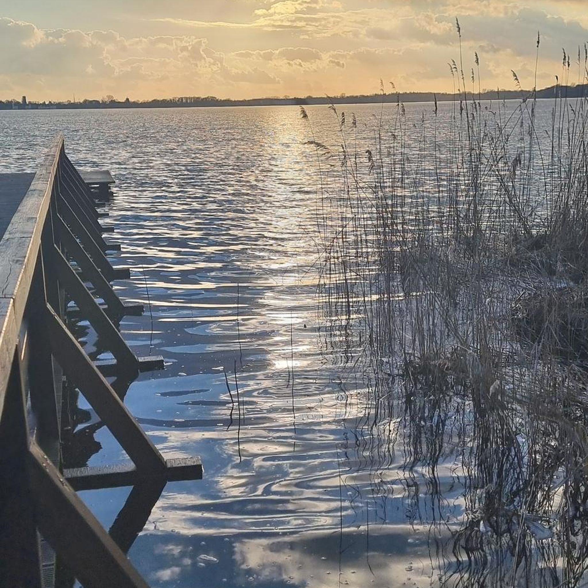
The Etangs du Longeau are a natural site offering many paths around the ponds, where you can enjoy the view of the water, the forest and the fauna.
3
0
This viewpoint offers a panoramic view of the village of Saint-Maurice-sous-les-Côtes and the surrounding hills and forests. You can access it from the village by following a marked path that climbs the hillside. Along the way, you can appreciate the natural beauty and tranquility of this rural area.
2
0

Remarkable point of view in a remarkable site.
0
0
Frequently Asked Questions
How many mountain bike trails are available around Saulx-Lès-Champlon?
There are over 10 mountain bike trails in the Saulx-Lès-Champlon area, offering a variety of experiences for different skill levels. These routes are highly rated by the komoot community, with an average score of 3.9 stars.
Are there mountain bike trails suitable for beginners in Saulx-Lès-Champlon?
Yes, there are trails suitable for beginners. For an easier ride, consider the Longeau Ponds – View of Thillot loop from Forêt Domaniale de la Montagne, which is an easy 17.7 km route with an elevation gain of 250 meters, typically completed in under 2 hours.
What are some challenging mountain bike trails for experienced riders?
Experienced riders looking for a challenge can tackle the Longeau Ponds – View of Hattonchâtel loop from Deuxnouds-aux-Bois. This difficult 56.1 km route features a significant elevation gain of over 1,000 meters and takes approximately 5 hours to complete, offering scenic views and demanding ascents.
Are there any family-friendly mountain bike routes in the area?
While specific 'family-friendly' designations aren't always clear-cut, routes around the Longeau Ponds, such as the easy Longeau Ponds – View of Thillot loop from Forêt Domaniale de la Montagne, tend to be less strenuous and offer picturesque scenery, making them more accessible for families with some biking experience.
What natural features can I expect to see on the mountain bike trails?
The trails around Saulx-Lès-Champlon are characterized by diverse landscapes, including the plain near the Longeau river, numerous ponds, and extensive wooded areas. The Longeau Ponds are a prominent natural site, offering scenic views of water, forest, and local wildlife.
Are there any historical landmarks or points of interest along the routes?
While the trails primarily focus on natural beauty, the region has historical significance. The village of Saulx-Lès-Champlon itself was rebuilt after World War I. For specific historical sites nearby, you might consider visiting the German Military Cemetery Viéville-sous-les-Côtes or the Memorial First World War, Les Èsparges the cemetery, which are accessible from the wider area.
What do other mountain bikers enjoy most about the trails in Saulx-Lès-Champlon?
The komoot community rates the mountain bike trails in Saulx-Lès-Champlon highly, with an average score of 3.9 stars from 5 reviews. Riders often praise the varied terrain, the natural beauty of the Longeau Ponds, and the options available for different ability levels.
Are there any circular mountain bike routes available?
Yes, many of the routes are designed as loops. For instance, the Domaine de Sommedieue loop from Mouilly is a moderate 28.2 km trail through wooded areas, and the Longeau Ponds – Longeau Ponds loop from Avillers-Sainte-Croix is another moderate 24.4 km option.
What is the best time of year to go mountain biking in Saulx-Lès-Champlon?
The diverse landscapes of Saulx-Lès-Champlon are enjoyable throughout much of the year. Spring and autumn generally offer pleasant temperatures and vibrant scenery. Summer can also be great, especially in the wooded areas, while winter riding might depend on snow and trail conditions.
Are there any amenities like cafes or restaurants near the mountain bike trails?
While the region is known for its natural setting, specific cafes directly on the trails are not common. It's advisable to plan your route to pass through or start from nearby villages like Mouilly or Deuxnouds-aux-Bois, where you might find local establishments for refreshments.
Where can I find parking for mountain biking trailheads?
Trailheads often have designated parking areas, especially in or near villages that serve as starting points for routes. For example, routes starting from Haudiomont, Mouilly, or Avillers-Sainte-Croix would typically have parking available in those communes or at specific trail access points.
What kind of terrain can I expect on the mountain bike trails?
The terrain varies from flat sections along the Longeau river plain to rolling hills and more challenging ascents within the extensive wooded areas. You'll encounter a mix of forest paths, gravel tracks, and potentially some singletrack, offering a diverse riding experience.
Most popular attractions around Saulx-Lès-Champlon

Get inspired with the komoot mobile app


Explore more
Browse the best MTB trails in other regions.
