The best running trails around Stützengrün
4.5
(303)
1,507
runners
12
runs
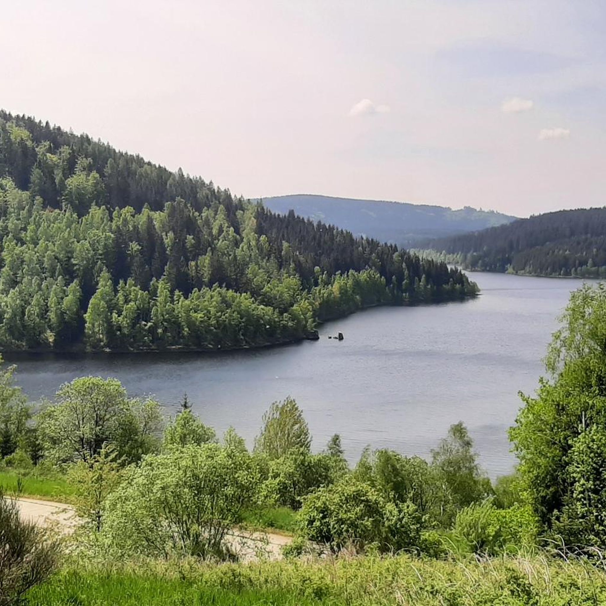
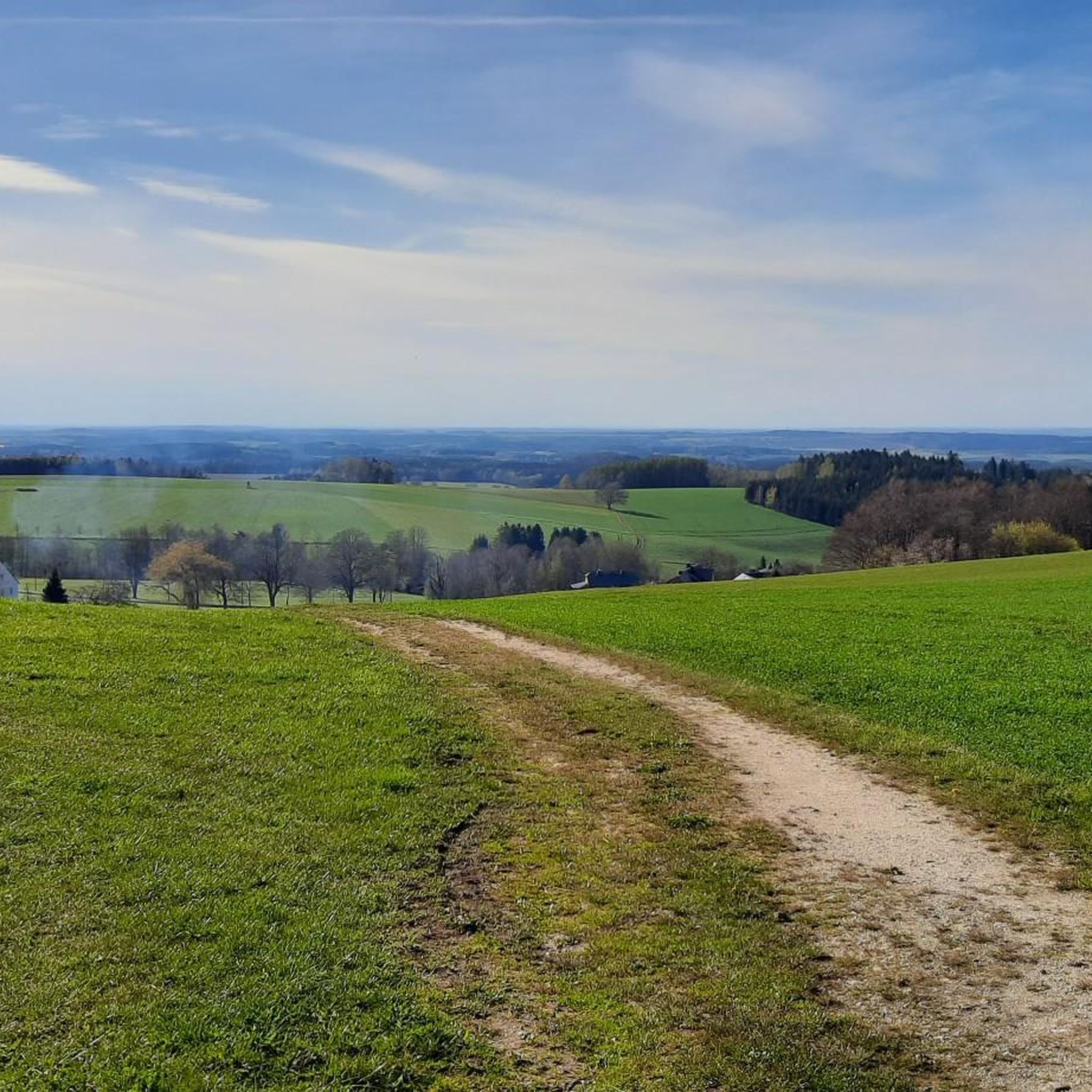
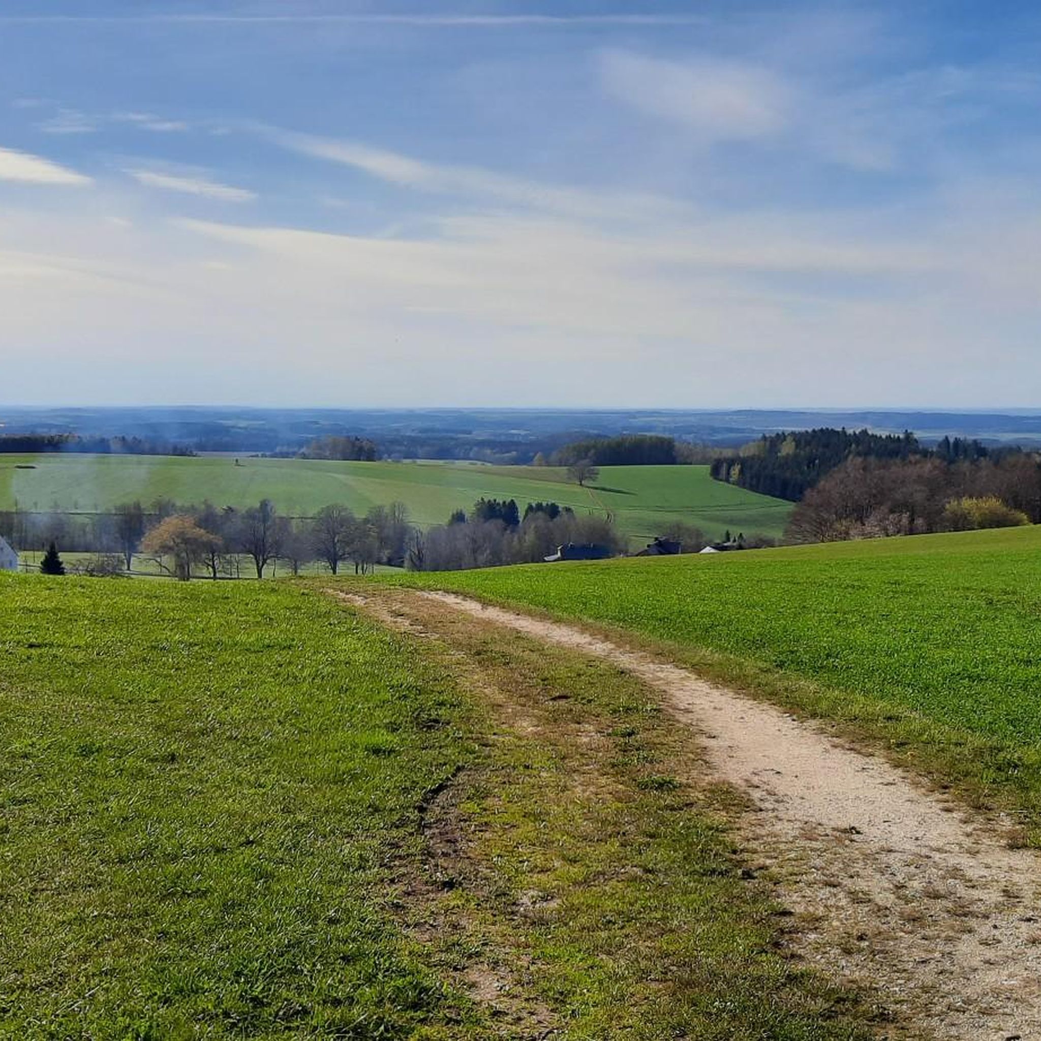
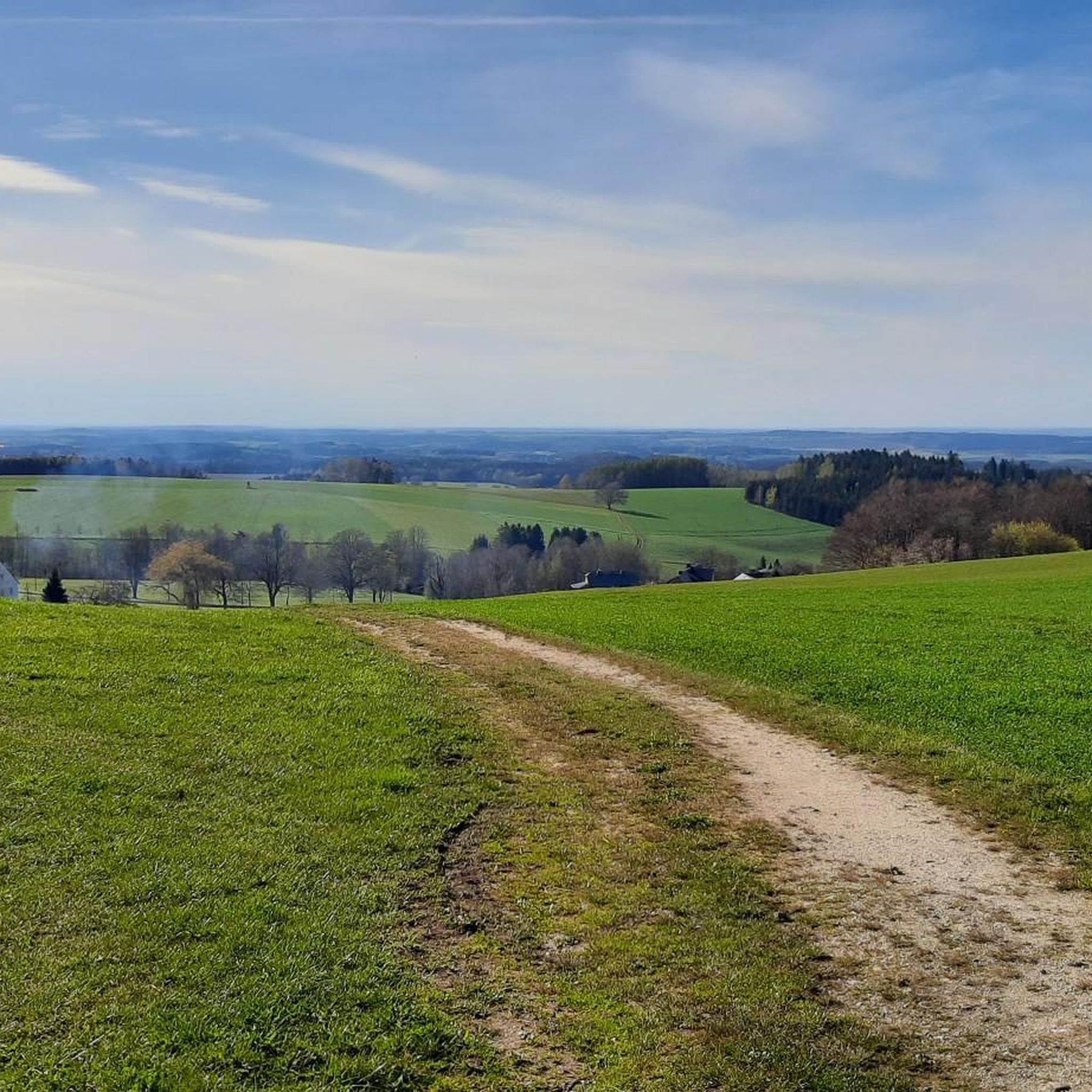
Jogging around Stützengrün offers diverse landscapes within the Ore Mountains, bordering the Vogtland. The region features forested mountains, picturesque mountain grasslands, and numerous streams and springs. A prominent natural feature is the Eibenstock Reservoir, Saxony's largest drinking water reservoir, which provides many trails along its banks. The area's hilly terrain, ranging from 570 to 680 meters above sea level, includes natural inclines and descents suitable for varied running experiences.
Best jogging routes around Stützengrün
- The most popular jogging route is…
Last updated: September 1, 2026
3.3
(44)
11
runners
5.86km
00:37
60m
60m
Moderate run. Good fitness required. Mostly paved surfaces. Suitable for all skill levels.
5.0
(3)
8
runners
11.9km
01:19
210m
200m
Moderate run. Good fitness required. Mostly paved surfaces. Suitable for all skill levels.

Sign up for free
12
runners
16.0km
01:43
230m
230m
Hard run. Very good fitness required. Mostly paved surfaces. Suitable for all skill levels.
5.0
(5)
10
runners
9.89km
01:04
140m
140m
Moderate run. Good fitness required. Mostly paved surfaces. Suitable for all skill levels.
3.7
(3)
4
runners
Moderate run. Good fitness required. Mostly paved surfaces. Suitable for all skill levels.
Get access to more routes and recommendations from other explorers.
Sign up for free
Already have an account?
Our route recommendations are based on thousands of hikes, rides, and runs completed by other people on komoot.
Start today with a free account
Your next adventure awaits.
Login or Signup
Tips from the Community

☆ A brand new hut on the circular path ⬜️🟨⬜️... Oberer Wernesgrüner Weg.
1
0

Decide which path is the right one🤗if the hiking gods will it, I'll come by here again, the EB goes this way.❤️💪
6
0

It's simply breathtakingly beautiful here 😊.
0
0

New shelter at the fork in the road
0
0
It's just incredibly beautiful here 😊.
1
0
It's just incredibly beautiful here 😊.
0
1
It's just incredibly beautiful here 😊.
0
0

great, always worth a trip. Wonderful view
1
0
Frequently Asked Questions
How many running routes are available around Stützengrün?
Stützengrün offers a diverse network of over 10 jogging routes, catering to various preferences and fitness levels. The komoot community has explored these trails over 1600 times, highlighting their popularity.
What kind of terrain can I expect on the jogging trails in Stützengrün?
You'll find a varied landscape perfect for running, including forested mountains, picturesque mountain grasslands, and trails winding around the Eibenstock Reservoir. The region is also characterized by its hilly plateau, offering natural inclines and descents for a more dynamic run.
Are there running routes suitable for families or beginners?
Yes, Stützengrün has several easy routes perfect for families or those new to running. For example, the Running loop from Stützengrün is a moderate 3.6-mile path that offers a pleasant local experience without excessive difficulty.
Can I bring my dog on the jogging trails in Stützengrün?
Many trails in the Stützengrün area are dog-friendly, allowing you to enjoy a run with your canine companion. However, it's always recommended to keep your dog on a leash, especially in nature protection areas or when encountering wildlife or other trail users.
What natural attractions or landmarks can I see while running in Stützengrün?
The region is rich in natural beauty. You can enjoy views of the Eibenstock Dam, Saxony's largest drinking water reservoir, or explore the unique mountain grasslands. The 795-meter-high Kuhberg also offers breathtaking views from the Prinz Georg Tower, accessible via various trails.
Are there any circular running routes available?
Absolutely. Many of the running paths around Stützengrün are designed as loops, allowing you to start and finish at the same point. A great example is the View of the reservoir – Dreamlike 😍 loop from Hundshübel, which offers scenic views and a convenient circular path.
What do other runners enjoy most about jogging in Stützengrün?
The komoot community highly rates the routes in Stützengrün, with an average score of 4.5 stars. Runners often praise the diverse landscapes, the well-maintained trails through forests and mountain grasslands, and the scenic views, particularly around the Eibenstock Reservoir.
Are there longer or more challenging running routes for experienced runners?
Yes, for those seeking a greater challenge, there are difficult routes available. The Dreamlike 😍 – View of the Eibenstock Dam loop from Hundshübel is a challenging 9.6-mile (15.5 km) route with significant elevation changes, perfect for experienced runners.
What is the best time of year to go running in Stützengrün?
Stützengrün offers excellent running conditions throughout much of the year. Spring and autumn provide pleasant temperatures and beautiful scenery with changing foliage. Summer is also great, especially for shaded forest trails. Even in winter, many trails are accessible, offering a serene, snow-covered landscape for running.
Are there running routes that offer scenic viewpoints?
Yes, many routes are known for their stunning vistas. The Sxyb – Viewpoint over Eibenstock Reservoir loop from Stützengrün is a prime example, leading through varied terrain with multiple viewpoints overlooking the expansive Eibenstock Reservoir.
Are there any permits required to use the running trails in Stützengrün?
Generally, no special permits are required for jogging on the public trails around Stützengrün. The extensive network of hiking and running paths is freely accessible for outdoor enthusiasts. However, always respect local regulations and private property signs.
Most popular routes around Stützengrün
Most popular attractions around Stützengrün

Get inspired with the komoot mobile app


Explore more
Browse the best Running Trails & Routes in other regions.
