The best walks and hikes around Villers-Lès-Mangiennes
4.8
(29)
127
hikers
3
hikes
Hiking around Villers-Lès-Mangiennes, a commune in France's Grand Est region, offers diverse landscapes for outdoor enthusiasts. The area features varied terrain with elevations ranging from 199 to 258 meters, including gentle inclines and descents. Hikers can expect to encounter water features such as the Loison river and several streams, providing pleasant riparian ecosystems along the routes. The regional landscape is characterized by a mix of natural environments, suitable for different hiking levels.
Best hiking trails around Villers-Lès-Mangiennes
- The most popular hiking route is Marville Walking Loop 2, a 7.4 miles (12.0 km) trail that takes 3 hours 16 minutes to complete. This moderate route offers varied landscapes typical of the region.
- Another top favourite among local hikers is Lake Marville – View of the Étang de l'Othain loop from Marville, an easy 4.5 miles (7.3 km) path. This trail provides views of the local lake and surrounding natural features.
- Local hikers also love the Main Square of Marville – Saint-Hilaire Cemetery loop from Marville, a 3.2 miles (5.1 km) trail leading through historic areas and varied landscapes, often completed in about 1 hour 26 minutes.
- Hiking around Villers-Lès-Mangiennes is defined by varied terrain, gentle elevation changes, and the presence of rivers and streams. The network offers options for different ability levels, from easy walks to more moderate excursions.
- The routes in Villers-Lès-Mangiennes are highly rated by the komoot community with an average score of 4.8 stars from over 20 reviews. More than 100 hikers have used komoot to explore Villers-Lès-Mangiennes's varied terrain.
Last updated: July 19, 2026
4.9
(7)
19
hikers
12.0km
03:16
190m
190m
Hike the 7.4-mile Cimétiere Saint-Hilaire loop from Marville, a moderate trail exploring historic funerary art and varied landscapes.
4.4
(7)
57
hikers
7.30km
01:57
90m
90m
Easy hike. Great for any fitness level. Easily-accessible paths. Suitable for all skill levels.

Sign up for free
4.5
(4)
12
hikers
5.00km
01:24
100m
100m
Easy hike. Great for any fitness level. Easily-accessible paths. Suitable for all skill levels.
5.0
(6)
12
hikers
14.5km
03:58
220m
220m
Moderate hike. Good fitness required. Easily-accessible paths. Suitable for all skill levels.
3
hikers
Hard hike. Very good fitness required. Easily-accessible paths. Suitable for all skill levels.
Our route recommendations are based on thousands of hikes, rides, and runs completed by other people on komoot.
Start today with a free account
Your next adventure awaits.
Login or Signup


Tips from the Community

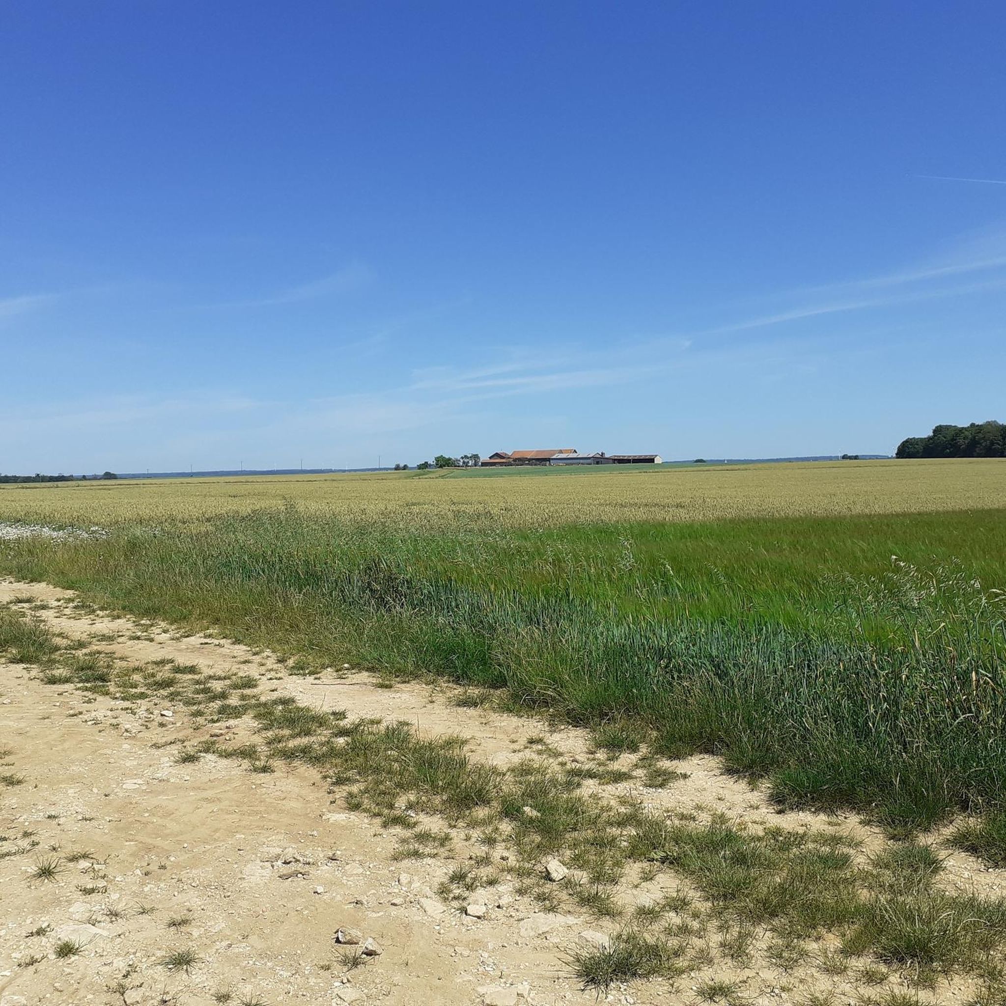
In Marville, the Othain lake is a pleasant place to relax, with its leisure center and various walking trails. Here, the stretch of land that juts out offers a beautiful view of the expanse.
0
0
The Chiers Valley features several limestone hills where unique flora and fauna have developed in the region. This is the case of the Ramonette Valley, where there is also an old Maginot Line fort.
0
0
This organic communal associative vineyard is a fine example of the typical wine-growing landscapes of Torgny and Gaume.
1
0

On the edge of a wooded massif, where the climate is favorable for growing wine, lies Torgny, Belgium's southernmost village. The houses here, built of yellow sandstone with Roman roof tiles, are striking, lending a Mediterranean flair. A truly beautiful sight. No wonder this place is considered one of the most beautiful villages in Wallonia.
1
0

PLEASE NOTE: on this - beautiful - circuit, after the village of Alondrelle, the path as mentioned on this circuit has become impassable between the meadows. If you go further, from the entrance to the woods towards Torgny, the path is not very suitable for vehicles or even almost impassable by bike if it has rained a lot! A mountain bike is essential!
0
0

Small part of the defense system around Verdun... unfortunately a bit overgrown
0
0

The southernmost village in Belgium.
2
0

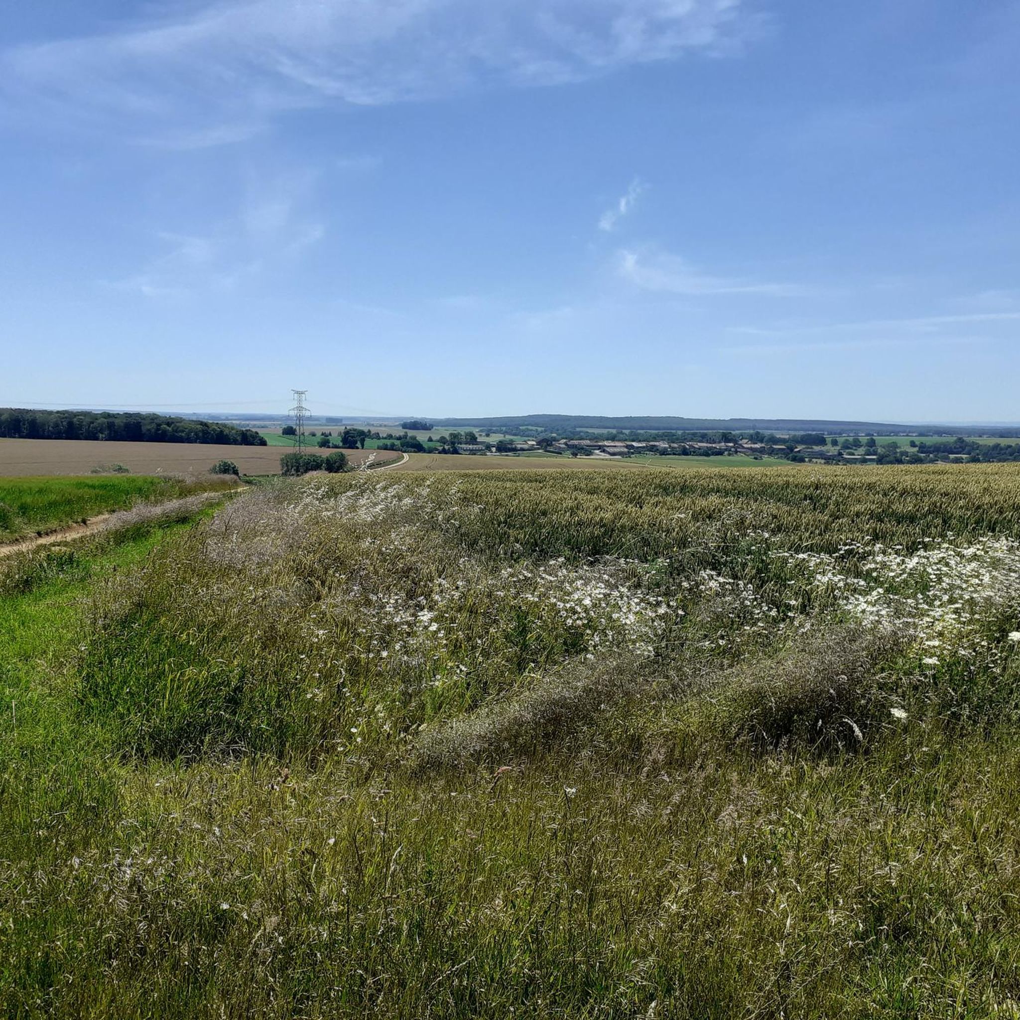
Marville is a charming village dating back to the 12th century. You can explore its medieval streets, admire its Renaissance architecture, and visit the impressive Saint-Hilaire cemetery, which contains over 40,000 graves from different eras. You can also appreciate the natural beauty of the surrounding countryside, with its rolling hills, vineyards, and forests. Whether you're looking for a short stroll or a challenging adventure, Marville has something for everyone.
3
0
Frequently Asked Questions
What kind of terrain can I expect on hikes around Villers-Lès-Mangiennes?
The region offers diverse landscapes with varied terrain, including gentle inclines and descents. Elevations range from 199 to 258 meters. You'll encounter a mix of natural environments, often featuring pleasant water features like the Loison river and several streams, providing a varied hiking experience.
Are there any easy hiking trails suitable for beginners or a relaxed walk?
Yes, there are several easy options. For a relaxed walk with scenic views, consider the Lake Marville – View of the Étang de l'Othain loop from Marville, an easy 7.3 km path. Another accessible option is the Main Square of Marville – Saint-Hilaire Cemetery loop from Marville, which is 5.1 km and takes about 1 hour 26 minutes, leading through historic areas.
What are some interesting landmarks or attractions I can see while hiking in the area?
The region is rich in history and unique sights. You can explore the historic funerary art within the Saint-Hilaire Cemetery, which is part of the Main Square of Marville – Saint-Hilaire Cemetery loop from Marville. Other notable attractions include the Longuyon Totem, the Marville Renaissance Village, and the Ruins of Église Saint-Michel. The area also features German Military Cemeteries, offering a reflective aspect to your outdoor excursions.
Are there any circular walking routes available?
Yes, many of the trails in the Villers-Lès-Mangiennes area are circular, allowing you to start and end at the same point. Examples include the popular Marville Walking Loop 2, the Lake Marville – View of the Étang de l'Othain loop from Marville, and the Main Square of Marville – Saint-Hilaire Cemetery loop from Marville.
What do other hikers say about the trails in Villers-Lès-Mangiennes?
The routes in Villers-Lès-Mangiennes are highly rated by the komoot community, with an average score of 4.8 stars from over 20 reviews. Hikers often praise the varied landscapes, the presence of water features, and the blend of natural beauty with historical points of interest.
Are there any longer or more challenging hikes for experienced hikers?
For those seeking a more challenging experience, the Vineyard of Poirier Loup – Torgny Village loop from Saint-Jean-lès-Longuyon is a difficult 23.8 km route that takes approximately 6 hours 34 minutes to complete. This trail offers a significant distance and elevation gain for a more strenuous outing.
Can I find trails that pass by water features like rivers or lakes?
Absolutely. The region is characterized by the presence of the Loison river and several streams such as the Noue Coulon, Pre, and Étang de Ractel. The Lake Marville – View of the Étang de l'Othain loop from Marville specifically offers views of the local lake and surrounding natural features, providing pleasant riparian ecosystems along the way.
What is the best season for hiking around Villers-Lès-Mangiennes?
The diverse landscapes of Villers-Lès-Mangiennes make it suitable for hiking across multiple seasons. Spring and autumn offer pleasant temperatures and vibrant scenery, while summer provides longer daylight hours. Even in cooler months, the trails can be enjoyed, especially those that feature unique art installations like the 'Keep warm' Sculpture on the 'Circuit du Louvent', which offers a whimsical stop.
Are there any family-friendly walking routes in the area?
Yes, the area offers options suitable for families. The Main Square of Marville – Saint-Hilaire Cemetery loop from Marville is an easy 5.1 km trail that can be completed in about 1 hour 26 minutes, making it a good choice for families looking for a shorter walk with historical interest.
Where can I find parking for hiking trails in Villers-Lès-Mangiennes?
While specific parking locations vary by trailhead, many routes, especially those starting from villages like Marville, typically have designated parking areas. It's advisable to check the starting point of your chosen route for the most convenient parking options.
Are there any trails that offer a mix of nature and cultural interest?
Yes, the region excels in combining natural beauty with cultural insights. The Marville Walking Loop 2, for instance, offers varied landscapes alongside opportunities to explore historic funerary art within the Saint-Hilaire Cemetery. The presence of historical ruins and military cemeteries also adds a reflective cultural dimension to many hikes.
How many hiking trails are available in the Villers-Lès-Mangiennes area?
There are over 5 hiking routes available in the Villers-Lès-Mangiennes area, catering to various difficulty levels from easy to difficult. This provides a good selection for different preferences and fitness levels.
Most popular routes around Villers-Lès-Mangiennes
Most popular attractions around Villers-Lès-Mangiennes

Get inspired with the komoot mobile app


Explore more
Browse the best Hikes in other regions.
