The best walks and hikes around Aitern
4.6
(1575)
6,381
hikers
36
hikes
Hiking around Aitern offers diverse landscapes within the Southern Black Forest, characterized by the prominent 1,414-meter-high Belchen mountain and the scenic Aitern valley. The region features dense forests, gentle hills, and numerous watercourses, all part of the Southern Black Forest Nature Park. This area provides a well-developed network of trails suitable for various hiking experiences.
Best hiking trails around Aitern
- The most popular hiking route is Belchen Summit Station – Belchen House loop from Belchen, a 5.3 miles (8.5…
Last updated: June 27, 2026
4.8
(546)
2,315
hikers
Moderate hike. Good fitness required. Easily-accessible paths. Suitable for all skill levels.
4.8
(160)
542
hikers
18.7km
05:56
760m
760m
Hard hike. Very good fitness required. Mostly accessible paths. Sure-footedness required.

Sign up for free
4.7
(138)
454
hikers
10.8km
03:14
350m
350m
Moderate hike. Good fitness required. Easily-accessible paths. Suitable for all skill levels.
65
hikers
10.6km
03:28
450m
450m
Moderate hike. Good fitness required. Mostly accessible paths. Sure-footedness required.
4.7
(52)
162
hikers
13.7km
04:26
610m
610m
Moderate hike. Good fitness required. Easily-accessible paths. Suitable for all skill levels.
Get access to more routes and recommendations from other explorers.
Sign up for free
Already have an account?
Our route recommendations are based on thousands of hikes, rides, and runs completed by other people on komoot.
Start today with a free account
Your next adventure awaits.
Login or Signup

Tips from the Community

The Letztbergweiher is a small natural jewel and worth visiting at any time of the year. It is not a naturally formed body of water, but was created in the 14th/15th century specifically for silver mining in Schönau. It also served as a watering hole for livestock. Today, the pond is a protected wetland habitat with a rich diversity of plants and animals.
0
0
The Letztbergweiher did not originate naturally, but is a remnant of the old silver mining history in Schönau. The pond was artificially created in the 14th/15th century to drive various equipment. But it also served as a watering hole for animals.
0
1
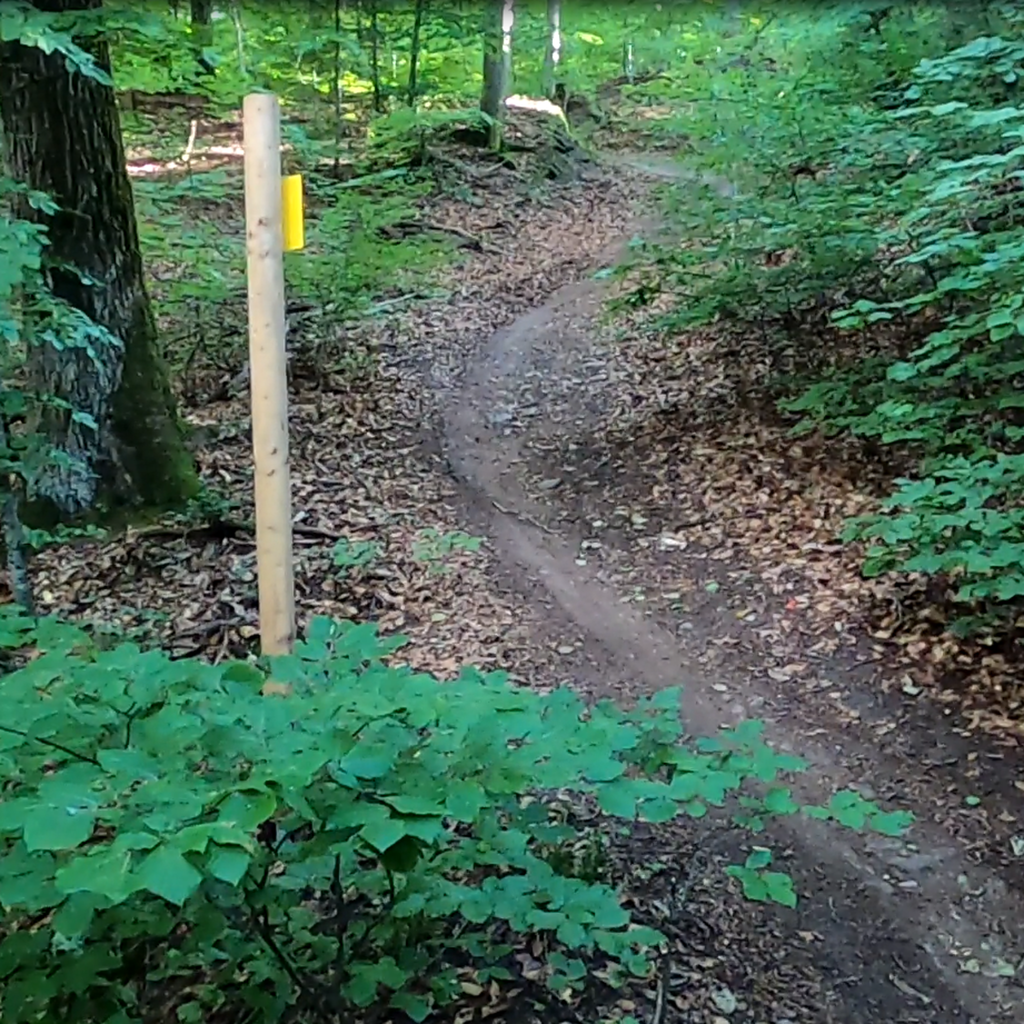
The Philosophenweg is always beautiful to walk, in summer it offers wonderful shade and the scent of the forest surrounds you. The path is mostly narrow and you don't really meet many people. Some passages lead directly past rocks, here you almost feel like you are in a dim tunnel. There are also beautiful views into the Southern Black Forest: the great Wiesental with the Hohe Möhr.
1
0

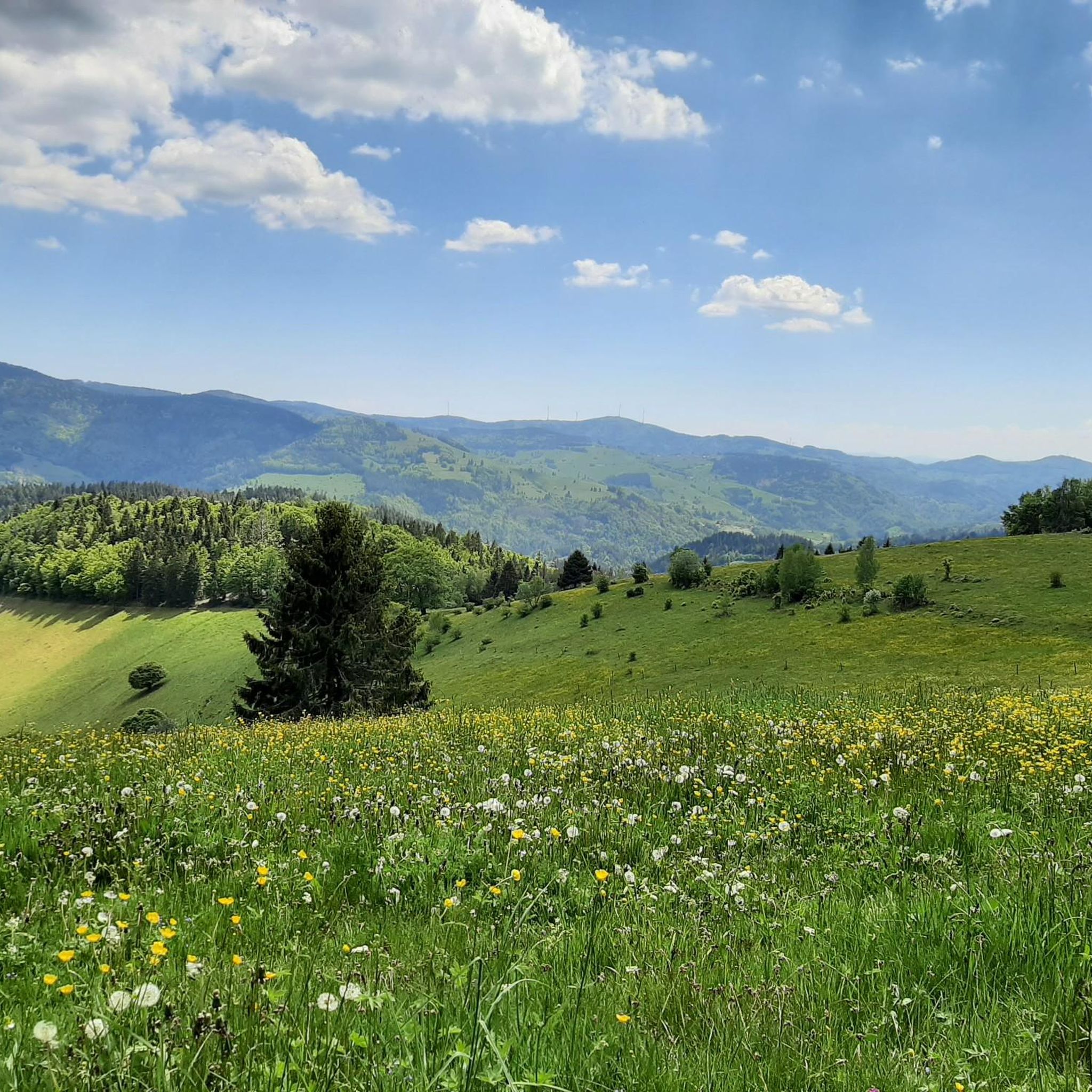
The Belchen has an alpine character and is challenging from all sides. All tours in this area should not be underestimated. In good weather, it offers breathtaking views: the Alps, the Vosges Mountains, and more.
0
0
The upper Stuhlebene is an old high plateau that was formerly used as common pasture. The broom meadows here are protected, and there are still many beech trees. The Stuhlebene can also be reached via a wonderful, approximately 5 km long circular hiking trail starting from the Belchen Hotel.
0
0
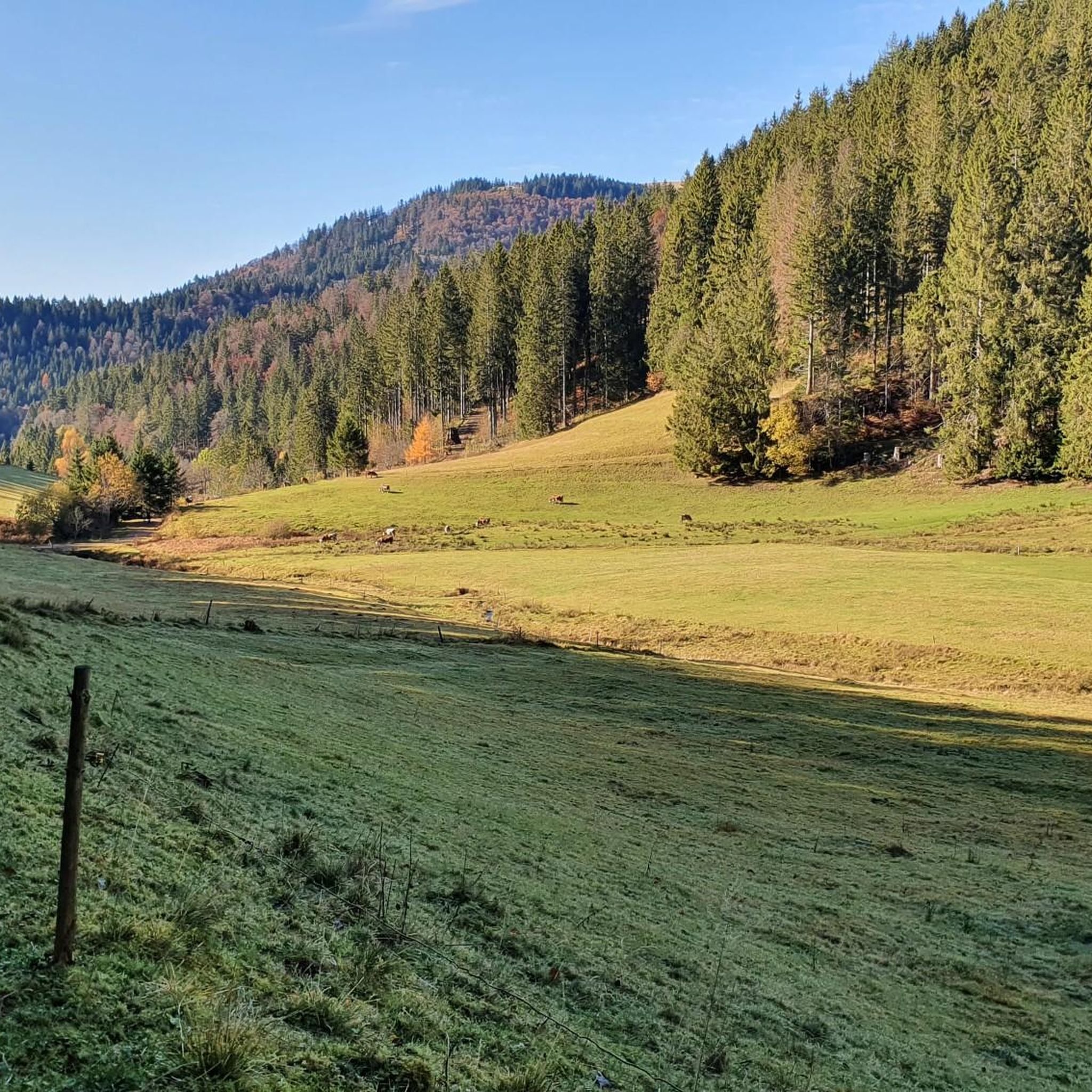
I hiked down the trail in winter; walking sticks are recommended. The steep section isn't very long, though; before and after it, the path is wide and gentle. The view from the bench is magnificent – behind you is the summit of the Belchen, and ahead lies the Große Wiesental valley with its side valleys.
2
0

Before the final ascent to the Belchen, you can recharge your batteries with a fantastic view
4
0

Great paths lined with original benches.
0
0
Frequently Asked Questions
How many hiking trails are available around Aitern?
Aitern offers a wide variety of hiking experiences with over 30 routes to explore. These range from leisurely strolls to more challenging mountain paths, catering to different fitness levels.
What kind of terrain can I expect on hikes in Aitern?
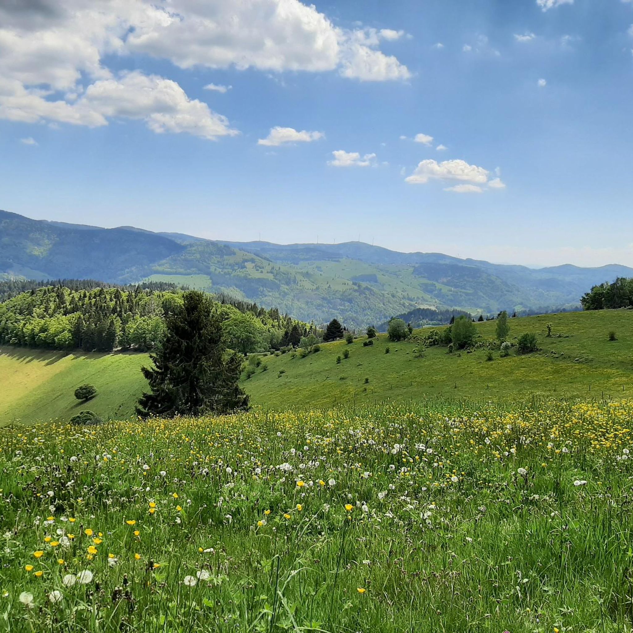
The terrain around Aitern is diverse, characterized by the slopes of the 1,414-meter-high Belchen mountain, dense Black Forest woodlands, and the idyllic Aitern valley. You'll encounter gentle hills, varied forest paths, and spectacular vantage points, often enhanced by numerous watercourses.
Are there any easy or family-friendly hiking options in Aitern?
Yes, Aitern is well-suited for families and those seeking easier walks. There are 16 easy routes, including child-friendly options like the fairytale trail for playful exploration and the forest nature trail. The Belchen Summit Station – Belchen House loop from Belchen is an easy 4.2 km trail, perfect for a shorter outing.
Can I find challenging hikes around Aitern?
While many trails are moderate, Aitern does offer a couple of more challenging routes for experienced hikers. The region's diverse landscape, especially around the Belchen mountain, provides opportunities for longer and more strenuous ascents.
Are there any circular hiking routes in Aitern?
Yes, Aitern features several excellent circular routes. The Belchen Summit Station – Belchen House loop from Belchen is a popular moderate 8.5 km option. Other local circular routes include the Aitern village circuit, offering beautiful views, and the Upper Panorama Trail, a 4 km path with scenic vistas past the Tiergarten.
What are some notable natural features or landmarks to see while hiking in Aitern?
Aitern is rich in natural beauty and landmarks. The impressive Schauinsland Observation Tower offers expansive views into the Vosges and Swiss Alps. You can also visit the Nonnenmatt Pond, a serene lake, or explore the Glacier Cirque Präg Nature Reserve. The Belchen Summit (1,414 m) – View of the Wiese Valley from Belchen loop from Belchen provides stunning panoramic views.
Is Aitern a good destination for dog-friendly hiking?
The Black Forest region, including Aitern, is generally very welcoming to dogs. With its extensive network of natural trails through forests and open landscapes, there are plenty of opportunities for you and your dog to enjoy the outdoors together. Always ensure your dog is on a leash where required, especially in nature reserve areas.
What is the best time of year to go hiking in Aitern?
The best seasons for hiking in Aitern are spring and autumn. In spring, nature awakens with vibrant greenery, while autumn offers a spectacular display of golden leaves. The region's southern slope location beneath the Belchen also contributes to a pleasant climate, making it enjoyable for hiking during these times.
Are there specific trails known for their panoramic views?
Absolutely. The Belchen mountain is renowned for its breathtaking panoramic views. Trails like the Belchen Summit (1,414 m) – View of the Alps from Belchen loop from Belchen offer expansive vistas across the Rhine Valley to the Vosges Mountains and, on clear days, even to the Swiss Alps. The Belchensteig premium hiking trail also provides numerous scenic viewpoints.
How can I reach the hiking trailheads in Aitern, particularly regarding parking or public transport?
Many trailheads in Aitern are accessible. For the Belchen mountain, the area around the Belchen cable car station has been car-free since 2001, encouraging access by foot or public transport. Parking is generally available in and around Aitern for various trail access points, though specific details may vary by trailhead.
What do other hikers say about the trails in Aitern?
The hiking trails in Aitern are highly rated by the komoot community, with an average score of 4.7 stars from over 990 reviews. Hikers often praise the diverse landscapes, the stunning views from the Belchen, and the well-maintained network of paths that cater to various skill levels.
Are there any unique themed trails in Aitern?
Yes, Aitern offers unique themed trails that delve into the region's history and geology. In the village center, you can explore the "Glacier Trail" and the "Old Church Trail between Wieden and Schönau," which historically served as a route for villagers attending church services.
Where can I find impressive waterfalls near Aitern?
Just a short distance from Aitern, you can discover the impressive Todtnau Waterfall. This natural spectacle features water cascading down 97 meters and can be viewed from both above and below. A circular route around the waterfall offers an engaging hike to experience its beauty.
Most popular attractions around Aitern

Get inspired with the komoot mobile app


Explore more
Browse the best Hikes in other regions.
