The best walks and hikes around Mangonville
4.2
(95)
496
hikers
59
hikes
Hiking around Mangonville offers a network of trails through varied landscapes. The region is characterized by gentle terrain, often following river valleys and open countryside. Elevation gains are generally modest, making many routes accessible for different fitness levels. The area features a mix of rural paths and routes connecting to local points of interest.
Best hiking trails around Mangonville
- The most popular hiking route is Covered Picnic Shelter – Spielplatz loop from Mangonville, a 6.9 miles (11.1 km) trail…
Last updated: October 5, 2026
5.0
(5)
22
hikers
11.1km
02:58
120m
120m
Moderate hike. Good fitness required. Easily-accessible paths. Suitable for all skill levels.
14
hikers
Easy hike. Great for any fitness level. Easily-accessible paths. Suitable for all skill levels.

5.0
(1)
8
hikers
Easy hike. Great for any fitness level. Easily-accessible paths. Suitable for all skill levels.
6
hikers
7.02km
01:46
10m
10m
Easy hike. Great for any fitness level. Easily-accessible paths. Suitable for all skill levels.
5.0
(1)
18
hikers
10.3km
02:38
30m
30m
Moderate hike. Good fitness required. Easily-accessible paths. Suitable for all skill levels.
Get access to more routes and recommendations from other explorers.
Already have an account?
Our route recommendations are based on thousands of hikes, rides, and runs completed by other people on komoot.
Start today with a free account
Your next adventure awaits.

Tips from the Community


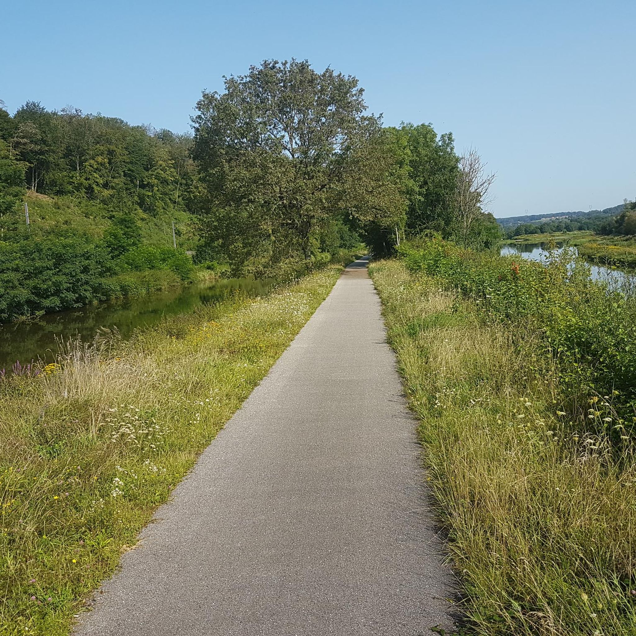
An easy walk. Nice for a quick stop. Note the decline of the quays along the Canal des Vosges.
0
0


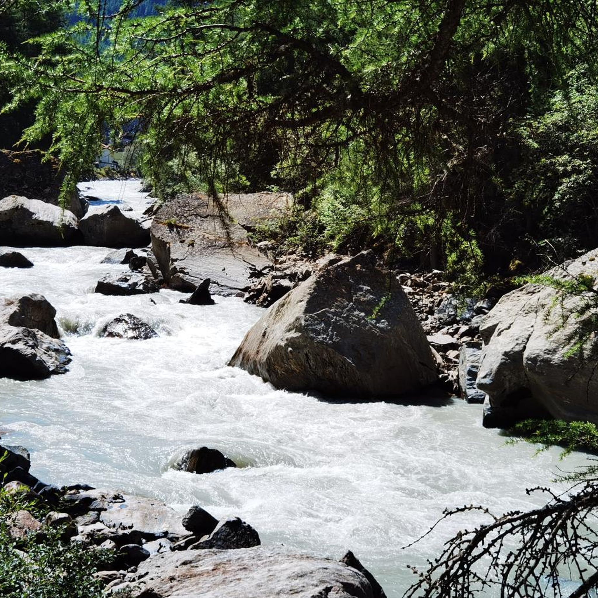
Beautiful nature reserve directly on the Moselle https://reserves-naturelles.org/reserves/moselle-sauvage/
2
0
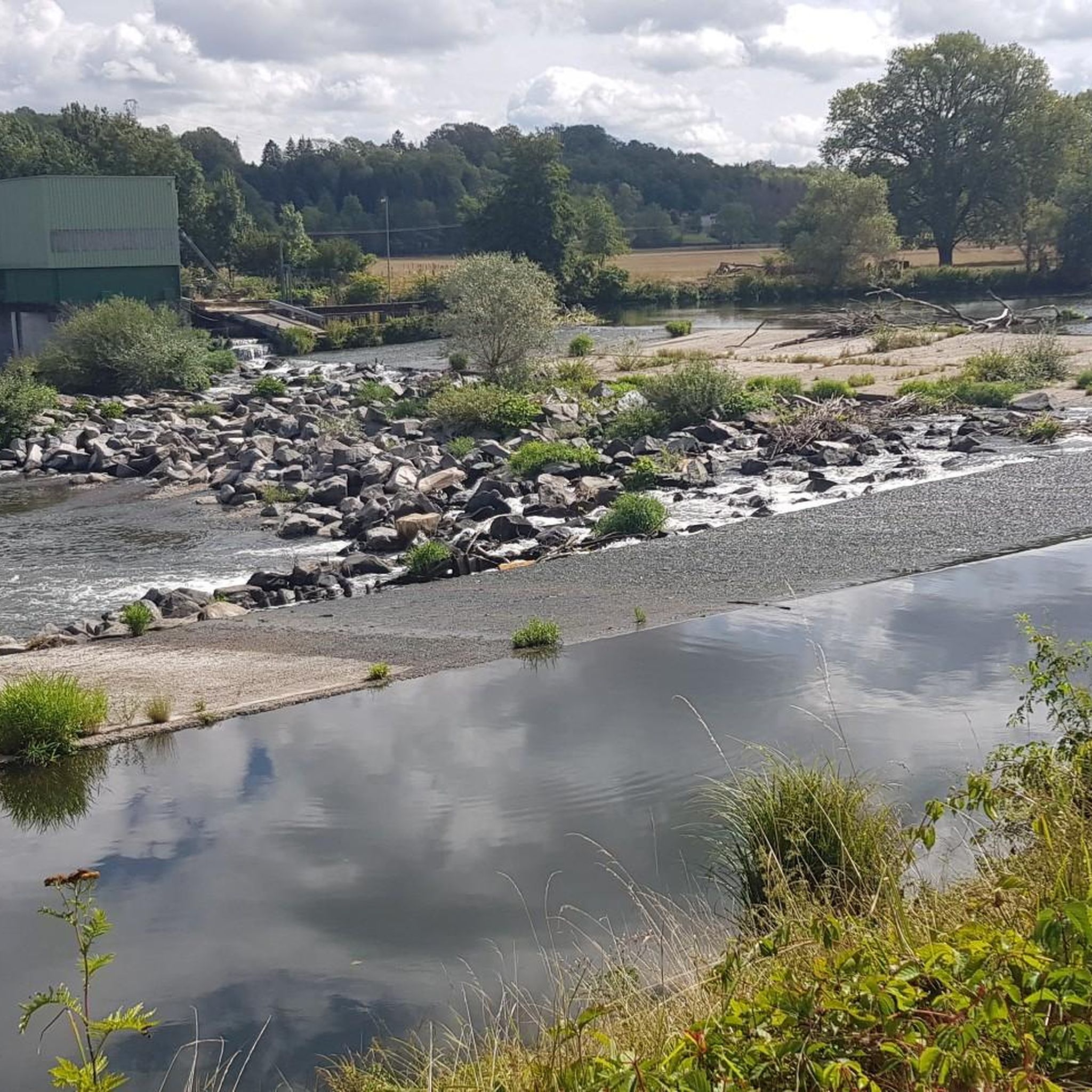
Schleuse am Canal des Vosges bei Bainville-aux-Miroirs https://www.reperesdecrues.developpement-durable.gouv.fr/site/barrage-de-bainville
2
0
Cozy restaurant with a beautiful garden directly on the hiking trail
1
0
Frequently Asked Questions
How many hiking trails are available around Mangonville?
There are nearly 60 hiking routes around Mangonville listed on komoot. These trails offer a variety of experiences, from easy strolls to more moderate excursions through the local landscape.
What kind of terrain can I expect on hikes near Mangonville?
The terrain around Mangonville is generally gentle, characterized by river valleys, open countryside, and modest elevation gains. You'll find a mix of rural paths, forest sections, and routes connecting to local villages and points of interest.
Are there easy hiking trails suitable for beginners or families in Mangonville?
Yes, Mangonville offers 27 easy hiking routes, perfect for beginners or families with children. These trails typically feature minimal elevation changes and shorter distances. An example is the Round trip from the campsite loop from Bayon, which is just 3 km long and takes about 45 minutes.
What are the typical lengths and durations of hikes around Mangonville?
Hikes around Mangonville vary in length and duration. Many easy routes are between 3-7 km, taking 1-2 hours. Moderate trails can range from 10-15 km, requiring 2.5-4 hours to complete. For instance, the Round trip from the campsite loop from Roville-devant-Bayon is an easy 6.7 km route taking about 1 hour 40 minutes.
Are there circular hiking routes available near Mangonville?
Yes, many of the hiking routes around Mangonville are circular, allowing you to start and end at the same point without needing to retrace your steps. This is convenient for exploring the area. For example, the Round trip from the campsite loop from Bayon is a pleasant circular walk.
Can I bring my dog on the hiking trails around Mangonville?
Generally, dogs are welcome on most hiking trails around Mangonville, especially on rural paths and in open countryside. However, it's always advisable to keep them on a leash, particularly near livestock, in nature reserves, or when passing through villages. Please check local signage for any specific restrictions.
What interesting places can I explore near the hiking trails?
While hiking around Mangonville, you can discover several interesting attractions. These include the historic Haroué Castle, the tranquil Ponds of the Saussaie de Bayon, and the Gripport Lock, which is part of the region's industrial heritage along the Canal des Vosges.
Are there any viewpoints or scenic spots on the trails?
The region's gentle hills and river valleys offer various scenic spots. While specific panoramic viewpoints might be limited due to the modest elevation, many trails provide lovely vistas of the open countryside and the Meurthe River. Routes often pass by charming villages and historical sites, adding to the scenic appeal.
What do other hikers enjoy the most about hiking in Mangonville?
The hiking experience in Mangonville is highly rated by the komoot community, with an average score of 4.2 stars from over 60 reviews. Hikers often praise the peaceful rural paths, the accessibility of the trails for various fitness levels, and the opportunity to explore the gentle, varied landscapes of the region.
Is there public transport access to the trailheads around Mangonville?
Public transport options directly to all trailheads around Mangonville may be limited, as the area is largely rural. It's recommended to check local bus schedules for connections to larger villages like Gripport or Bayon, from which many routes start. Driving and parking are often the most convenient ways to access the trails.
Are there designated parking areas for hikers in Mangonville?
Yes, many trailheads in and around Mangonville, especially those starting from villages or popular recreational areas, offer designated parking. For routes beginning in smaller hamlets or rural areas, roadside parking might be available, but always ensure you park responsibly and do not obstruct local access.
What is the best time of year to go hiking in Mangonville?
Spring and autumn are generally the best times for hiking in Mangonville. In spring, the countryside is vibrant with new growth, and temperatures are mild. Autumn offers pleasant weather and beautiful fall foliage. Summer can also be enjoyable, but it's advisable to start early to avoid the midday heat. Winter hiking is possible, but some paths might be muddy or icy.
Most popular attractions around Mangonville

Get inspired with the komoot mobile app


Explore more
Browse the best Hikes in other regions.
