The best running trails around Weißenberg
4.5
(728)
4,688
runners
403
runs
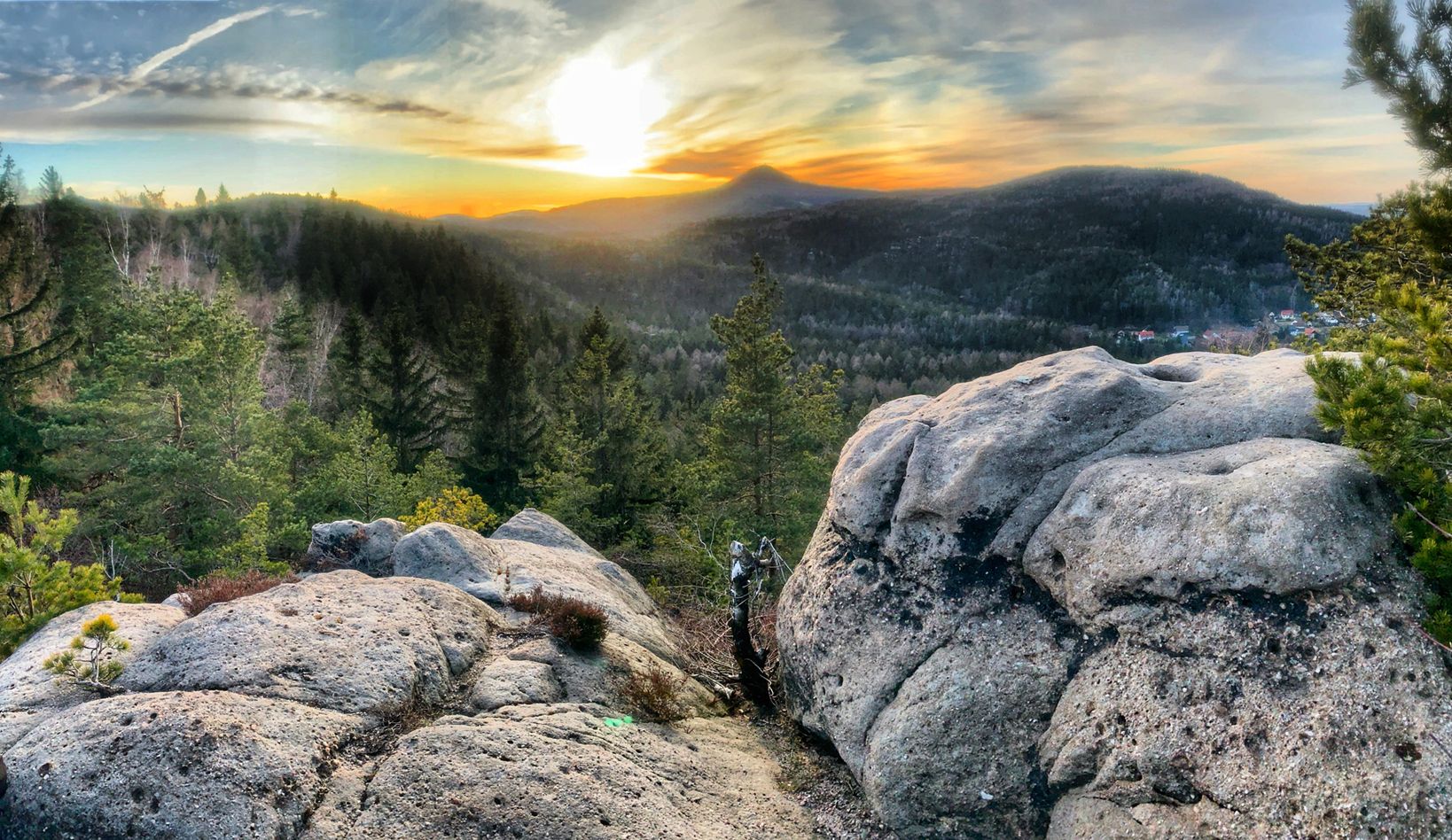
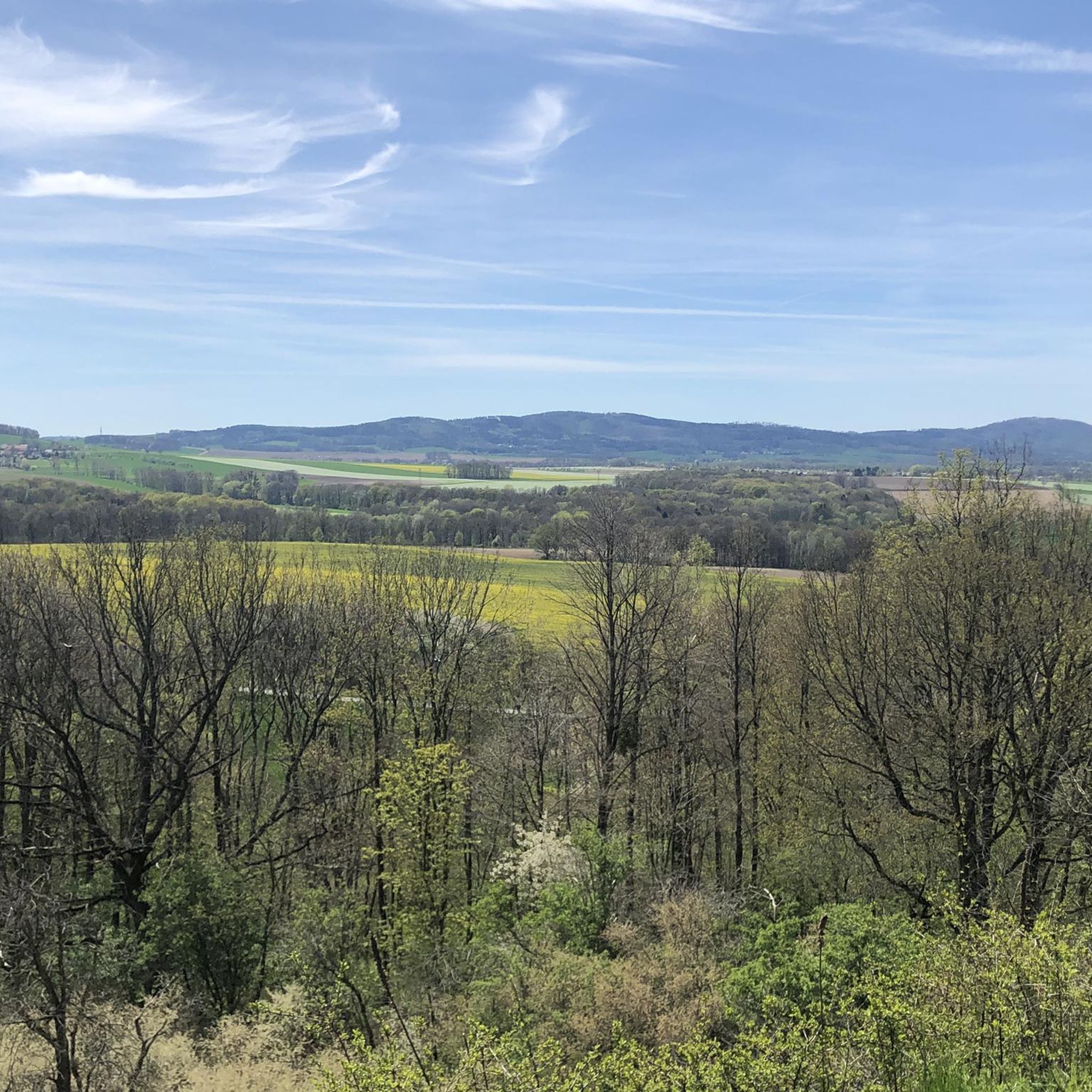
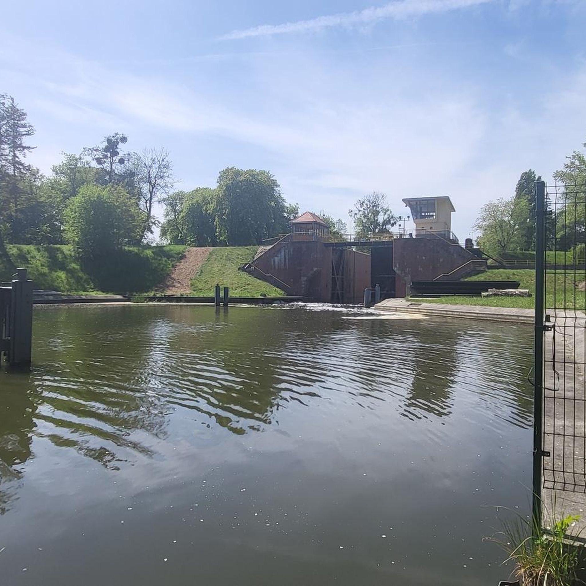
Jogging routes Weißenberg offer a diverse range of outdoor activities, thanks to varied landscapes and numerous trails. The region is characterized by natural features such as rivers, forests, and hills, providing a varied terrain for runners. Trails around Weißenberg in Saxony, for instance, include scenic views of the Löbauer Wasser river and historical sites. This makes the area suitable for different running preferences and fitness levels.
Best jogging routes around Weißenberg
- The most popular jogging route is Running loop from…
Last updated: June 25, 2026
13
runners
9.28km
01:05
100m
100m
Moderate run. Good fitness required. Mostly paved surfaces. Suitable for all skill levels.
4.0
(2)
7
runners
5.06km
00:32
50m
50m
Moderate run. Good fitness required. Mostly paved surfaces. Suitable for all skill levels.

Sign up for free
5
runners
8.24km
00:55
80m
80m
Moderate run. Good fitness required. Mostly paved surfaces. Suitable for all skill levels.
4.0
(2)
7
runners
6.57km
00:42
60m
60m
Moderate run. Good fitness required. Mostly paved surfaces. Suitable for all skill levels.
5.0
(1)
6
runners
5.16km
00:33
60m
60m
Moderate run. Good fitness required. Mostly paved surfaces. Suitable for all skill levels.
Get access to more routes and recommendations from other explorers.
Sign up for free
Already have an account?
Our route recommendations are based on thousands of hikes, rides, and runs completed by other people on komoot.
Start today with a free account
Your next adventure awaits.
Login or Signup
Other adventures around Weißenberg

Tips from the Community

Well-preserved castle surrounded by nature and a great starting point for a short hike through the forest.
1
0

10 mills on 22km on the Mill Cycle Route
0
0

Ideal if the weather isn't so good.
0
0

When the timetable changed on May 27, 1972, passenger traffic between Löbau and Baruth was stopped. When the timetable changed in autumn, the remaining route also lost its passenger traffic. From then on there was only freight traffic between Baruth and Radibor. In the spring of 1973 the Löbau – Baruth line was dismantled. However, in 1978 a new track was laid between Löbau and Kittlitz, which was used for tank loading at the NVA Löbau site. When the Margarethenhütte stopped production at the end of 1993, the remaining route also came to an end. At the end of 1994, freight traffic between Baruth and Guttau officially ended. In 1997 the Guttau freight station was also closed. The line was closed on September 1, 1996 (Baruth–Guttau) and August 15, 1998 (Guttau–Radibor). In 2004 the remaining tracks were dismantled. Source: Wikipedia
2
0
1902 Construction begins by A.G. for concrete and monier construction, Dresden 09/1903 test load 1903 completion (cost 121,620 M) 05/1945 Pillars I and X are blown up by the Wehrmacht 01/1953 Reconstruction begins Source: Sachsenschiene.de
1
1
Be careful when wet, ice and snow - RISK OF SLIDING!!!
2
0
Georg Rudolf von Gersdorf was Royal Saxon High Court Marshal. He rebuilt the castle in its current baroque style in 1872.
1
0

The image is incorrectly assigned
2
0
Frequently Asked Questions
What kind of terrain can I expect on the running routes around Weißenberg?
The Weißenberg region offers a diverse range of terrain for runners. You'll find varied landscapes including forests, hills, and paths alongside rivers like the Löbauer Wasser. While many routes feature accessible paths suitable for various skill levels, some areas, particularly in the Palatine Forest, can offer more vigorous experiences with elevation gains. For example, the Running loop from Weißenberg - Wóspork is a moderate route that provides a comprehensive experience of the local landscape.
Are there any easy running routes suitable for beginners in Weißenberg?
Yes, Weißenberg caters to all fitness levels. While many routes are classified as moderate, there are over 49 easy running tours available. These paths are generally less challenging, making them ideal for beginners or those looking for a relaxed run. The region's varied terrain ensures options for everyone.
What are some scenic viewpoints or natural features I can enjoy while jogging in Weißenberg?
The Weißenberg area is rich in scenic beauty. In Saxony, you can enjoy views of the Löbauer Wasser river, and sites like the Lausker Schanze with its romantic Gothic-style ruin. If you're near Weißenburg in Bavaria, routes might include historical landmarks like the Wülzburg fortress or the 'Stone Channels' natural monument. For panoramic views, consider routes near the Weißenberg in the Palatine Forest, which is the highest point in the western Palatine Forest and offers an observation tower. You can also explore highlights like the Czorneboh Mountain Inn and Lookout Tower or the Hochstein Observation Tower.
Are there any historical landmarks or castles along the running trails?
Yes, especially if you explore the Weißenburg in Bavaria area, where routes often integrate natural beauty with historical sites like the Roman fountain, the Alte Bürg, and the impressive Wülzburg fortress. In the Weißenberg region of Saxony, you might encounter historical sites such as the Gröditz Castle. Specific highlights include Gröditz Castle and Ortenburg Castle.
What do other runners say about the trails in Weißenberg?
The running routes around Weißenberg are highly regarded by the komoot community, with an average rating of 4.6 stars from over 660 reviews. More than 4,000 runners have used komoot to explore the area, often praising the varied terrain and the comprehensive experience of the local landscape. Routes like the Drehsaer Schweiz loop from Wurschen - Worcyn are particularly popular for their varied scenery.
Are there family-friendly running routes in Weißenberg?
Yes, many of the trails around Weißenberg are suitable for families. The region offers a variety of routes, including shorter loops and paths with accessible terrain, which are great for a family outing. Look for routes classified as 'easy' for the most family-friendly options.
Can I bring my dog on the running trails in Weißenberg?
Generally, the natural trails and forest paths in the Weißenberg region are dog-friendly, making it a great place to run with your canine companion. However, it's always advisable to keep dogs on a leash, especially in nature reserves or areas with wildlife, and to check local regulations for specific trails or protected areas.
Are there circular running routes available?
Yes, circular routes are a prominent feature of running in Weißenberg. Many of the popular trails are designed as loops, allowing you to start and finish at the same point. Examples include the Running loop from Hochkirch - Bukecy and the Running loop from Lausker Skala, which offer convenient options for exploring the area.
What is the best season for running in Weißenberg?
The Weißenberg region offers enjoyable running conditions throughout much of the year. Spring and summer are particularly vibrant, with lush forests and wildflowers. However, caution is advised on wet or icy paths with fallen leaves, especially in areas like the Gröditzer Skala. The varied terrain means you can find suitable routes in most seasons, but checking local weather conditions is always recommended.
Are there parking facilities available near the running routes?
While specific parking details vary by route, many trailheads and popular starting points in the Weißenberg region offer parking facilities. It's common to find designated parking areas near villages or natural attractions that serve as access points for the running trails.
How many running routes are there in the Weißenberg area?
There are over 400 running routes available around Weißenberg, offering a wide selection for all preferences and fitness levels. This extensive network includes 49 easy, 302 moderate, and 56 difficult routes, ensuring plenty of options for your next run.
Most popular routes around Weißenberg
Most popular attractions around Weißenberg

Get inspired with the komoot mobile app


Explore more
Browse the best Running Trails & Routes in other regions.
