The best running trails around Harth-Pöllnitz
4.4
(495)
3,818
runners
17
runs
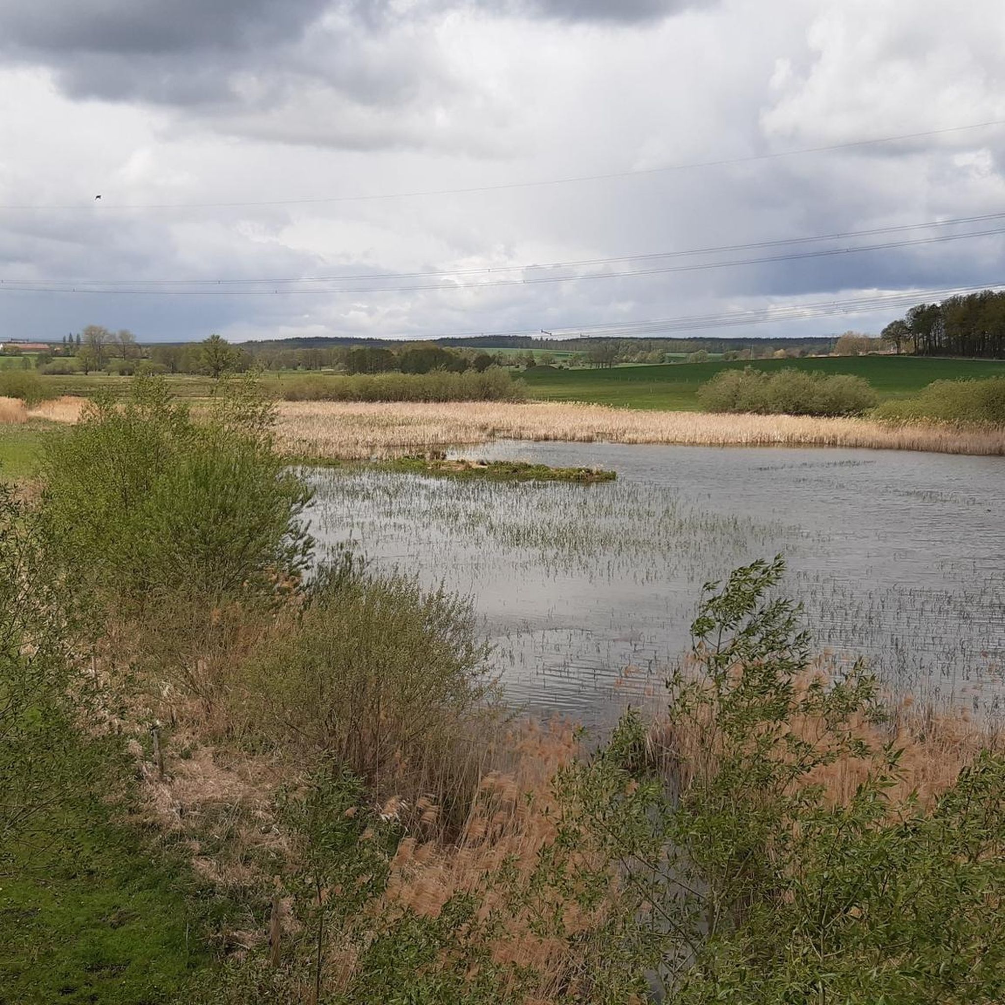
Jogging routes around Harth-Pöllnitz traverse a diverse landscape characterized by rolling green hills, dense forests, and numerous lakes and ponds. The region offers varied terrain, from gentle paths alongside water bodies like the Auma Reservoir to more challenging inclines within its woodlands. The surroundings of the Weiße Elster river also provide opportunities for flat, scenic running routes.
Best jogging routes around Harth-Pöllnitz
- The most popular jogging route is Eisenhammer Bridge – Auma Reservoir loop from Weida, a 2.8 miles…
Last updated: July 8, 2026
3.0
(1)
6
runners
5.52km
00:38
60m
60m
Moderate run. Good fitness required. Mostly paved surfaces. Suitable for all skill levels.
5
runners
7.10km
00:46
30m
30m
Moderate run. Good fitness required. Mostly paved surfaces. Suitable for all skill levels.

Sign up for free
4
runners
6.41km
00:40
40m
40m
Moderate run. Good fitness required. Mostly paved surfaces. Suitable for all skill levels.
5
runners
9.33km
01:03
130m
130m
Moderate run. Good fitness required. Mostly paved surfaces. Suitable for all skill levels.
3.8
(5)
3
runners
4.47km
00:28
30m
30m
Easy run. Great for any fitness level. Mostly paved surfaces. Suitable for all skill levels.
Get access to more routes and recommendations from other explorers.
Sign up for free
Already have an account?
Our route recommendations are based on thousands of hikes, rides, and runs completed by other people on komoot.
Start today with a free account
Your next adventure awaits.
Login or Signup
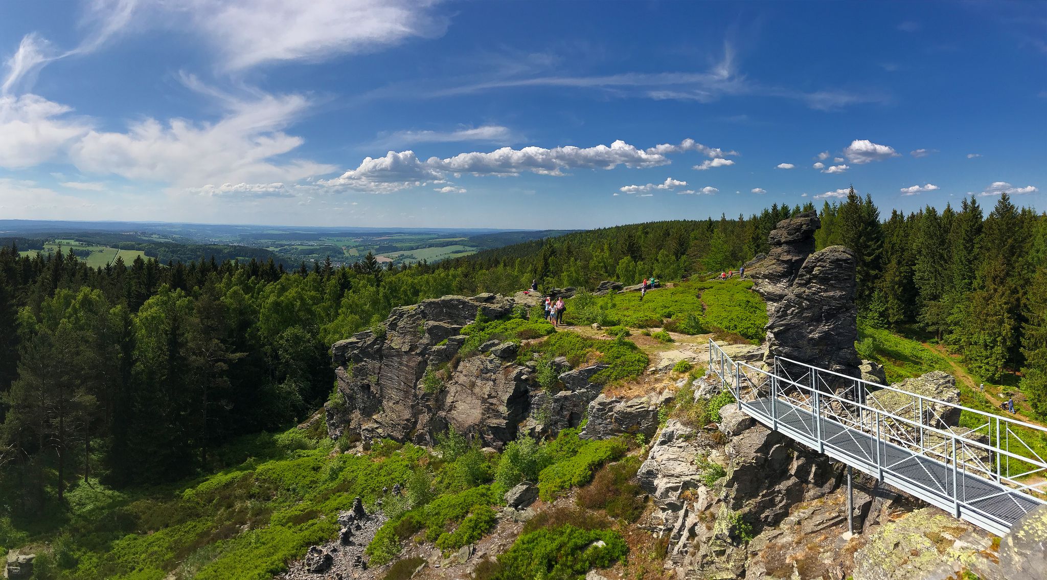
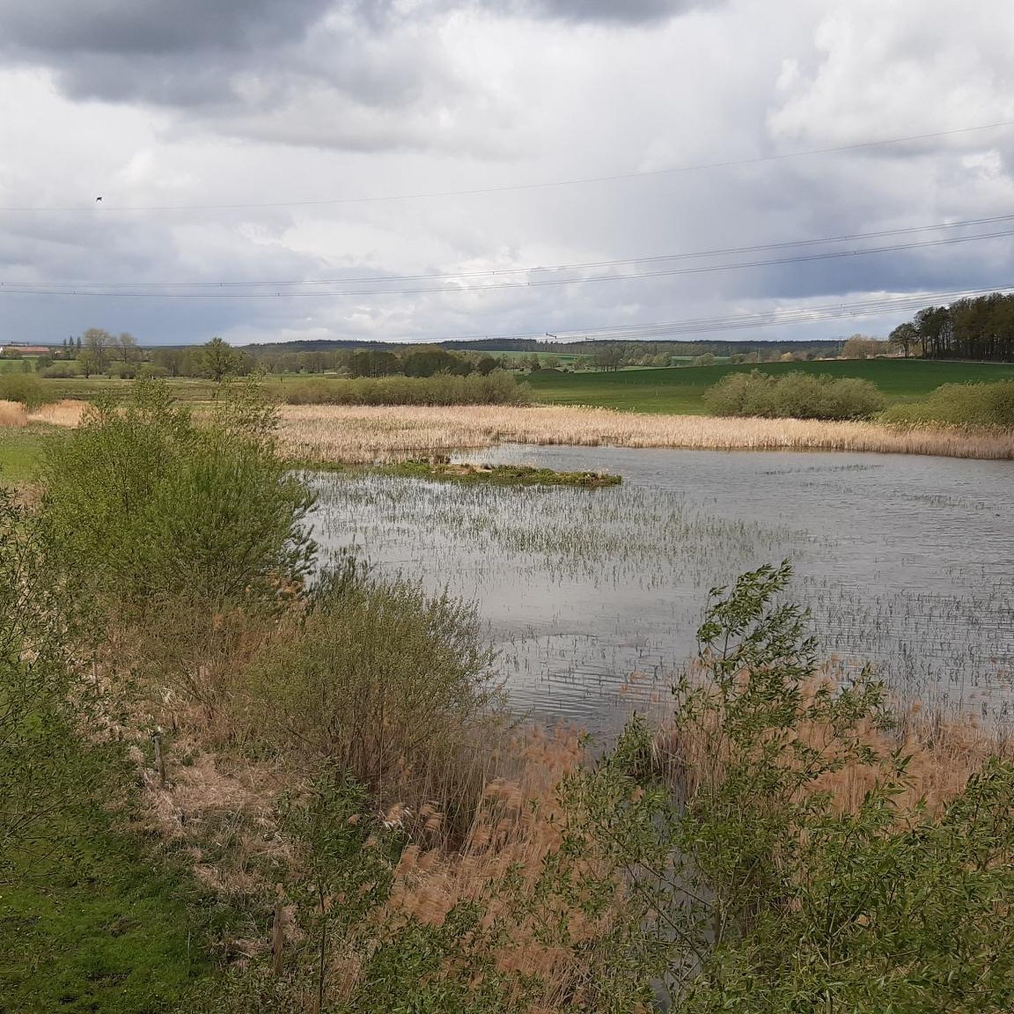
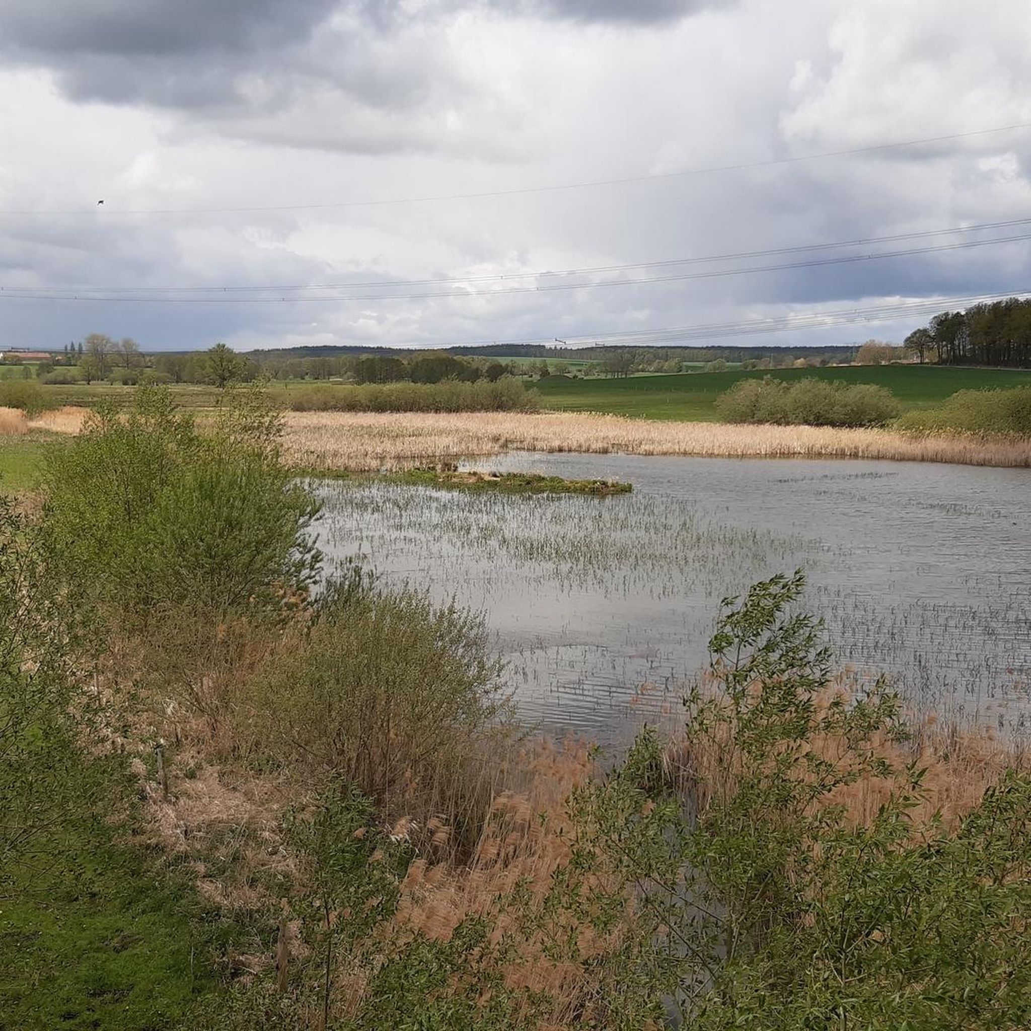
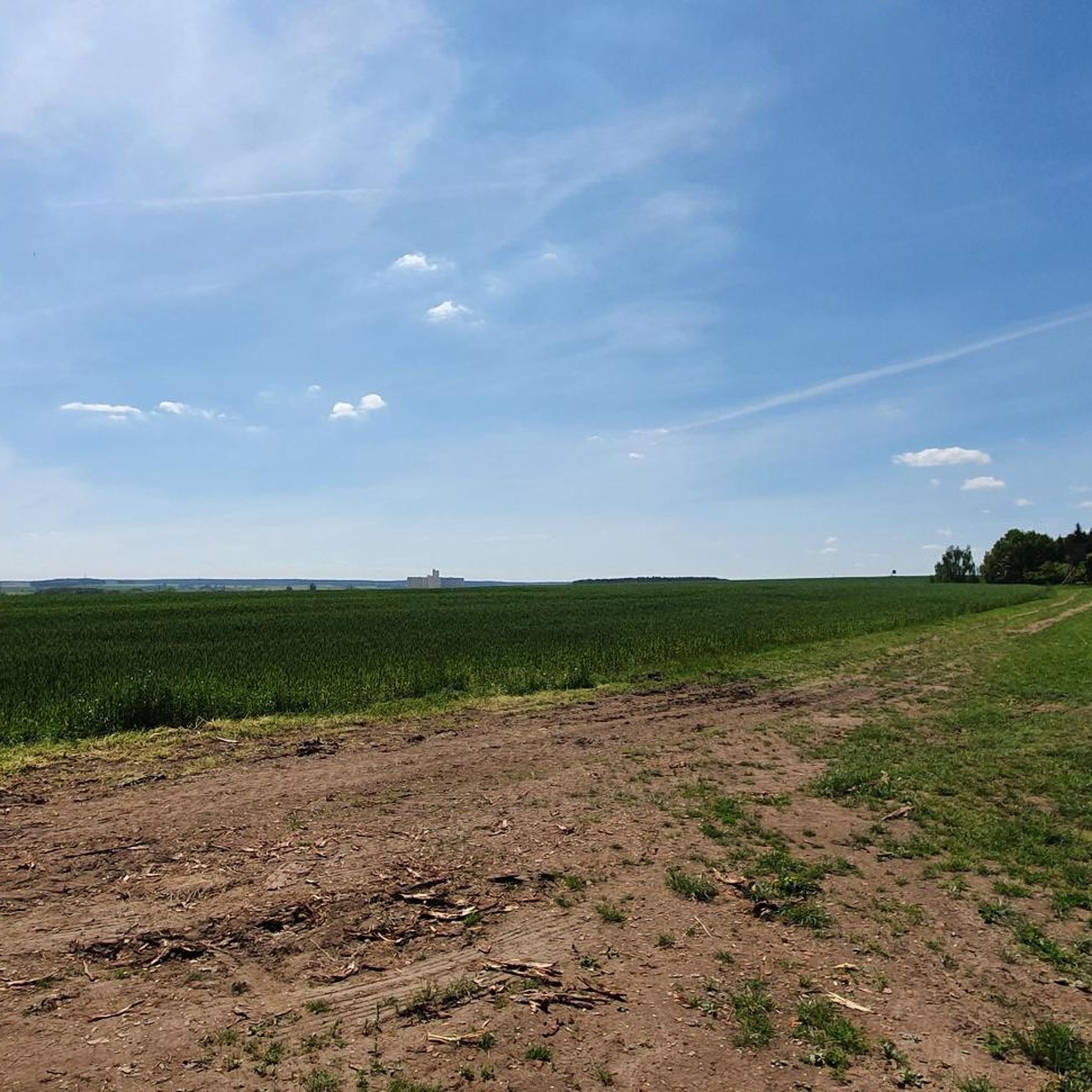
Other adventures around Harth-Pöllnitz

Tips from the Community

It's a normal forest path. What's the highlight about it? By that criterion, one could draw hundreds more like it on komoot. What's the point?
0
0


Ideal starting point for the Aumatalsperre
1
0

Beautiful old round arch bridge.
17
0

Very nice hut for resting and having a picnic. The path is also easily accessible with a stroller.
1
0

Good resting place in the forest
0
0
Frequently Asked Questions
How many running routes are available in Harth-Pöllnitz?
Harth-Pöllnitz offers a wide selection of running routes, with over 370 different trails to explore. These range from easy strolls to more challenging runs through varied terrain.
What kind of terrain can I expect on the jogging routes in Harth-Pöllnitz?
The region is characterized by diverse terrain, including rolling green hills, dense forests, and tranquil paths alongside numerous lakes and ponds. You'll find routes with gentle elevation changes as well as more challenging inclines, particularly within the woodlands of the Thüringer Vogtland.
Are there any easy running routes suitable for beginners or a relaxed jog?
Yes, there are many easy running options. For instance, the Eisenhammer Bridge – Auma Reservoir loop from Weida is an easy 2.8-mile (4.5 km) trail offering pleasant views of the reservoir. Another easy option is the Auma Reservoir – Aumatalsperre Weida loop from Schömberg, which is 2.1 miles (3.4 km) long.
What are some interesting natural features or landmarks I can see while running in Harth-Pöllnitz?
Many routes offer scenic views and pass by notable natural features. You can run alongside the beautiful Auma Reservoir or near the Weida Dam. For panoramic views, consider routes that pass by viewpoints like Geyerstein. The region also features dense forests and the picturesque River Weiße Elster.
Are there any running trails that are particularly challenging?
For those seeking a more challenging run, the Aumatalsperre Weida – Auma Reservoir loop from Weida Mitte is a difficult 9.8-mile (15.8 km) route with significant elevation changes, providing a good workout through the diverse landscape.
Are there any circular running routes in the area?
Yes, many of the running routes in Harth-Pöllnitz are circular, allowing you to start and end in the same location. Examples include the Frohtoberplatz loop from Schömberg and the St. Marienkirche loop from Mittelpöllnitz, both offering varied terrain and scenic views.
What do other runners think about the trails in Harth-Pöllnitz?
The running routes in Harth-Pöllnitz are highly regarded by the komoot community, holding an average rating of 4.5 stars from over 470 reviews. More than 4,000 runners have used komoot to explore the area, often praising the well-maintained paths and the beautiful natural surroundings.
Can I find routes that pass by historical sites or cultural attractions?
While primarily known for its natural beauty, some routes offer glimpses of historical interest. For example, the St. Marienkirche loop from Mittelpöllnitz passes by the historic St. Marien Church, adding a cultural touch to your run. The broader region also features sites like Burgk Castle, which offers breathtaking views.
Are there any routes suitable for families or those with children?
Many of the easier and moderate routes, especially those around lakes or through less strenuous forest paths, are suitable for families. The varied landscape ensures there are options for different fitness levels, making it possible to find a pleasant route for a family jog or walk.
What is the best time of year to go running in Harth-Pöllnitz?
Harth-Pöllnitz is beautiful year-round, but spring and autumn offer particularly pleasant conditions for running with mild temperatures and vibrant scenery. The dense forests provide shade in summer, and the rolling hills can be picturesque in winter, though some paths might require more caution.
Are there any routes that offer good viewpoints?
Yes, the region has several spots offering great views. The Geyerstein is a known viewpoint. Additionally, the region's rolling hills often provide elevated perspectives over the surrounding green landscapes and forests, such as the views from Teufelsberg or Zoitzberg in the broader Thüringer Vogtland area.
Most popular routes around Harth-Pöllnitz
Most popular attractions around Harth-Pöllnitz

Get inspired with the komoot mobile app


Explore more
Browse the best Running Trails & Routes in other regions.
