The best running trails around Paitzdorf
4.6
(280)
2,387
runners
181
runs
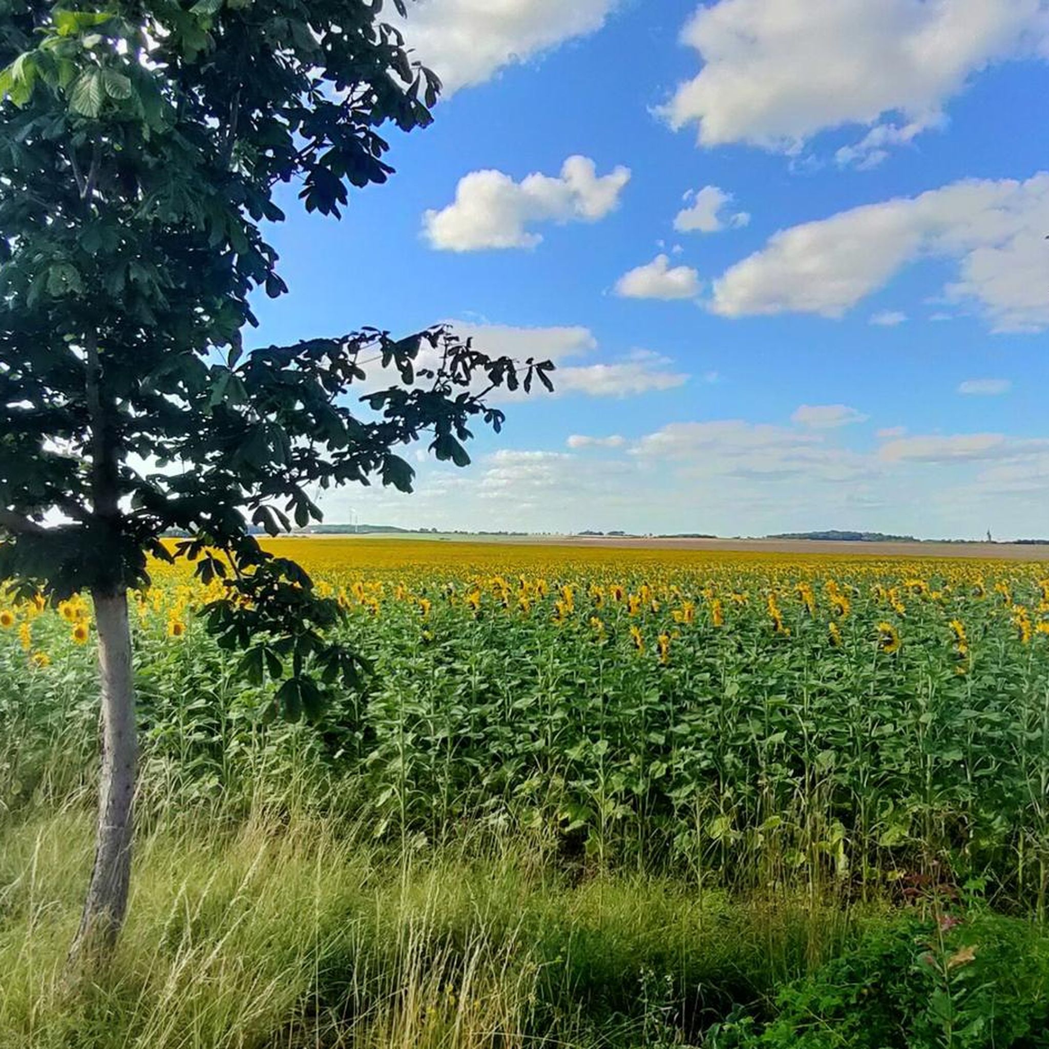
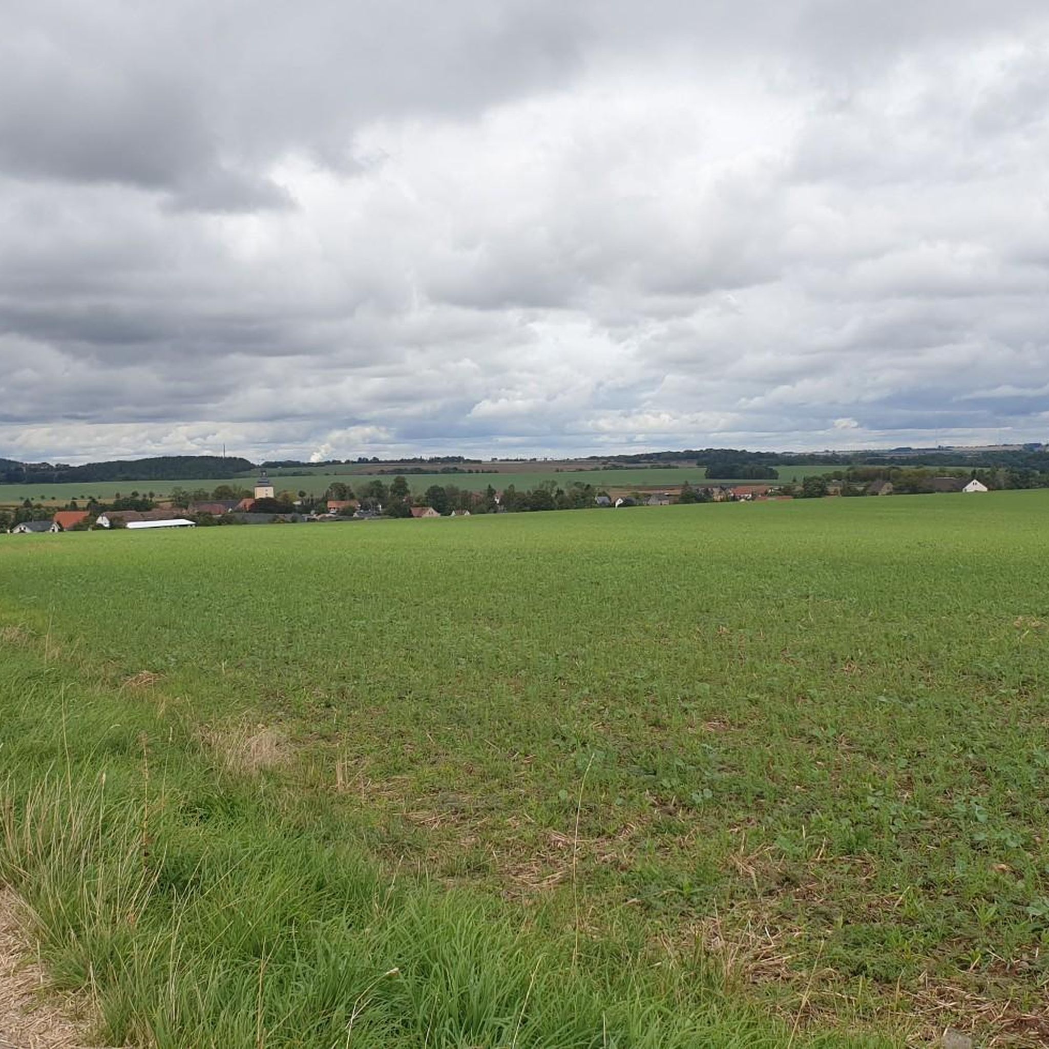
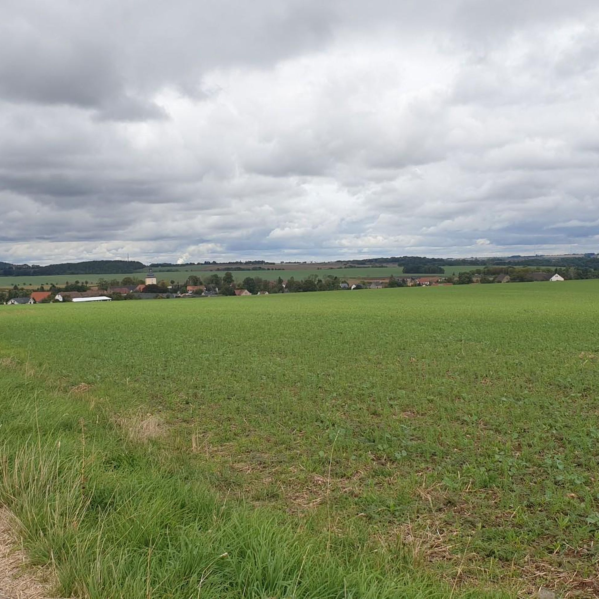
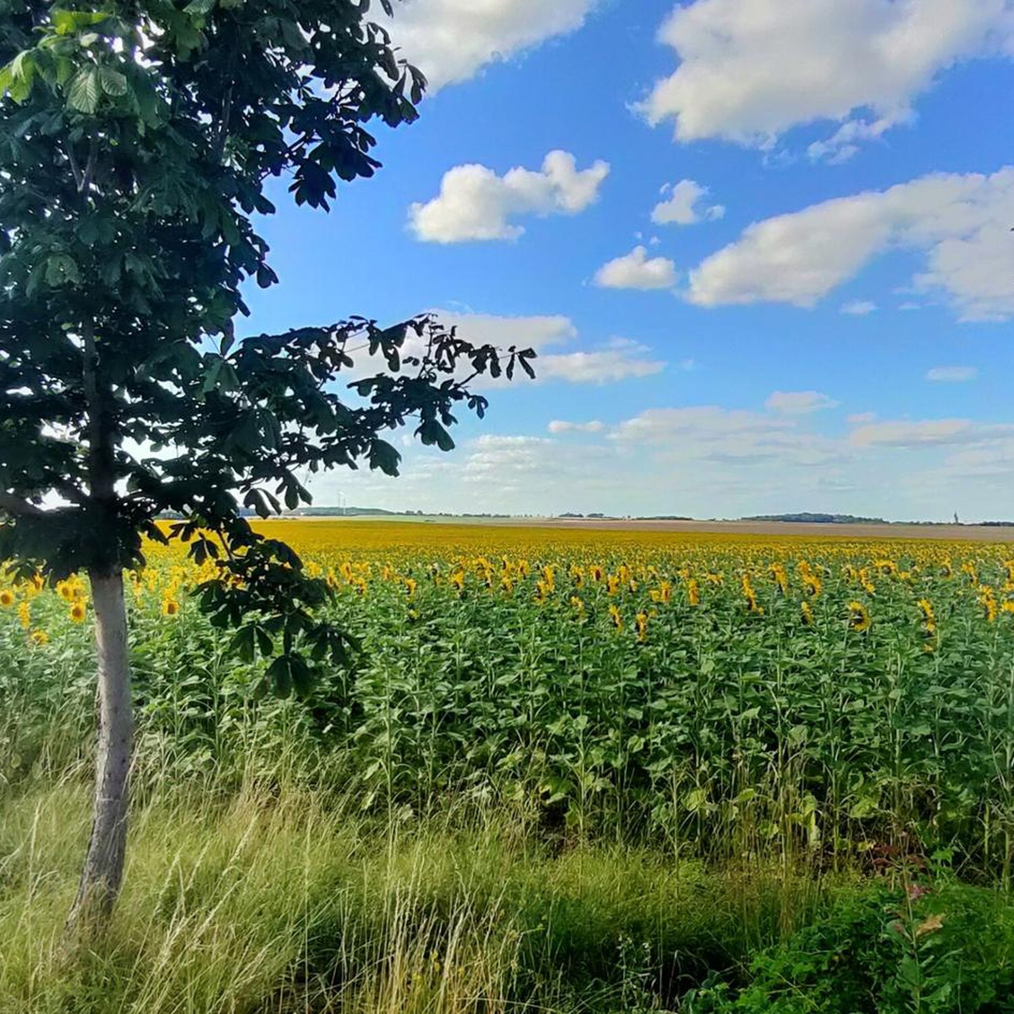
Jogging around Paitzdorf offers diverse terrain through the German state of Thuringia. The region features rolling hills and extensive forests, providing varied landscapes for running. The Weiße Elster River meanders through the area, with routes often following its course, offering flatter, accessible sections. Additionally, romantic creek and river stretches, such as those in the Fuchsbachtal valley, contribute to the scenic running experience.
Best jogging routes around Paitzdorf
- The most popular jogging route is Schuttgruben loop from Beerwalde, a 6.7…
Last updated: July 10, 2026
28
runners
10.8km
01:08
90m
90m
Moderate run. Good fitness required. Mostly paved surfaces. Suitable for all skill levels.
5.0
(1)
7
runners
Hard run. Very good fitness required. Mostly paved surfaces. Suitable for all skill levels.

Sign up for free
5
runners
7.81km
00:51
60m
60m
Moderate run. Good fitness required. Mostly paved surfaces. Suitable for all skill levels.
5
runners
7.29km
00:47
60m
60m
Moderate run. Good fitness required. Mostly paved surfaces. Suitable for all skill levels.
4
runners
7.12km
00:47
50m
50m
Moderate run. Good fitness required. Mostly accessible paths. Some sure footedness required.
Get access to more routes and recommendations from other explorers.
Sign up for free
Already have an account?
Our route recommendations are based on thousands of hikes, rides, and runs completed by other people on komoot.
Start today with a free account
Your next adventure awaits.
Login or Signup
Tips from the Community

Officially called the bridge at Badergraben, it has truly earned its nickname with its 183 steps.
1
0

Nordic walking is also a very challenging workout. The "staircase of suffering" truly lives up to its name 😅.
4
0

Gigantic mural and some old transport vehicles from the Wismut era in the immediate vicinity.
2
0

FYI, the discovery tower is accessible all the way to the top (photo attached), but closed to climbing. As of August 2025, I had a fantastic view from up here. The Dragon's Tail Bridge is currently undergoing renovations after 18 years, expected to last until the end of November 2025, so it's closed. It's possible to walk through the bottom.
1
0

The Dragon's Tail Bridge in Ronneburg, Thuringia, will be closed for extensive renovation work starting Tuesday, June 10, 2025. The Gessental cycle path beneath the bridge will remain open and will be protected by scaffolding. Construction work is scheduled to be completed by the end of November 2025. Source: https://www.vogtland-tourismus.de/de/poi/bruecke/drachenschwanzbruecke/16709634/
1
0

Wow... we were speechless several times today. What was going on here, past and present... Really interesting.
3
0

A nice challenge after a 10 km run in the new landscape.
1
0

Highly recommended! We were there on a sunny day in autumn. It's nice to sit on the terrace (with coffee and cake).
0
0
Frequently Asked Questions
How many running routes are available around Paitzdorf?
Paitzdorf offers a wide selection of running routes, with nearly 170 trails to explore. These routes cater to various fitness levels, ranging from easy to difficult.
What kind of terrain can I expect on jogging routes in the Paitzdorf region?
The Paitzdorf region is characterized by diverse terrain, including rolling hills and extensive forests, providing varied landscapes for your runs. You'll also find flatter, accessible sections along the Weiße Elster River and romantic creek and river stretches, such as those in the Fuchsbachtal.
Are there easy running routes suitable for beginners or a relaxed jog?
Yes, Paitzdorf has 25 easy running routes perfect for beginners or those seeking a more relaxed pace. These trails often feature gentler inclines and scenic paths through the local landscape.
Are there any challenging running trails for advanced runners in Paitzdorf?
Absolutely. For advanced runners looking for a challenge, there are 9 difficult routes available. One such demanding option is the Dragon's Tail Bridge, Ronneburg – Stairway of Suffering loop from Ronneburg, which features challenging ascents and scenic views over 16.0 km.
What do other runners say about the trails in Paitzdorf?
The running routes in Paitzdorf are highly regarded by the komoot community, boasting an average rating of 4.6 stars from over 240 reviews. More than 2500 runners have used komoot to explore the varied terrain, often praising the picturesque landscapes and diverse options.
Are there any circular running routes around Paitzdorf?
Yes, many of the running routes in Paitzdorf are circular, allowing you to start and finish at the same point. An example is the moderate Schuttgruben loop from Beerwalde, which covers 10.7 km through varied terrain.
Can I find running routes that pass by interesting landmarks or natural features?
Yes, the region offers routes with points of interest. For instance, the Orchard Meadow – Posterstein Castle loop from Oberes Sprottental leads through beautiful orchard meadows and past Posterstein Castle. You can also find routes near natural features like the Weiße Elster River or the Fuchsbachtal.
Are there any viewpoints along the running trails in the Paitzdorf area?
Yes, the Paitzdorf region offers several viewpoints that can be incorporated into or enjoyed near your running routes. Notable spots include the Turmhütte Observation Tower, the View from Zoitzberg, and the Schmirchauer Höhe — Grubengeleucht Observation Tower, offering scenic breaks during your run.
What natural monuments can I see while running near Paitzdorf?
The area around Paitzdorf features several natural monuments. You might encounter highlights such as the Forebay of Koberbach Dam, the impressive Thousand-Year-Old Oak of Nöbdenitz, or the Geyerstein, providing interesting sights along your run.
Are there any running routes suitable for families with children?
While specific 'family-friendly' designations aren't always explicit, the 25 easy routes in Paitzdorf are generally well-suited for families. These trails typically have less elevation gain and are shorter, making them more manageable for younger runners or those with strollers.
What is the best time of year for jogging in Paitzdorf?
Paitzdorf's diverse natural setting, with its hills, forests, and river valleys, makes it suitable for jogging throughout much of the year. Spring and autumn offer pleasant temperatures and beautiful scenery, while shaded forest paths can provide relief during warmer summer days. Winter jogging is also possible, though trail conditions may vary.
Are there any long-distance running options in the Paitzdorf area?
Yes, for those seeking longer runs, the region offers options like parts of the Luther Trail, which includes stretches up to 28.2 km. While primarily a hiking trail, sections along romantic creek and river stretches are excellent for extended jogs. The Dragon's Tail Bridge, Ronneburg – Stairway of Suffering loop from Ronneburg is also a substantial 16.0 km route.
Most popular routes around Paitzdorf
Most popular attractions around Paitzdorf

Get inspired with the komoot mobile app


Explore more
Browse the best Running Trails & Routes in other regions.
