The best running trails around Seelingstädt
4.6
(301)
2,407
runners
227
runs
Jogging around Seelingstädt offers diverse landscapes and natural features suitable for various running experiences. The region is characterized by varied terrain, including riverbanks along the Weiße Elster and potential forest and meadow paths. This mix provides both tranquil, scenic routes and more challenging trails. The area's natural peculiarities and architectural landmarks can add interest to running routes.
Best jogging routes around Seelingstädt
- The most popular jogging route is Running loop from Seelingstädt, a 4.8 miles (7.8 km) trail that…
Last updated: June 26, 2026
5.0
(1)
17
runners
7.82km
00:49
70m
70m
Moderate run. Good fitness required. Mostly paved surfaces. Suitable for all skill levels.
5.0
(1)
13
runners
9.15km
00:57
70m
70m
Moderate run. Good fitness required. Mostly paved surfaces. Suitable for all skill levels.

Sign up for free
5.0
(3)
11
runners
10.7km
01:09
80m
80m
Moderate run. Good fitness required. Mostly paved surfaces. Suitable for all skill levels.
5.0
(1)
5
runners
5.16km
00:32
40m
40m
Moderate run. Good fitness required. Mostly paved surfaces. Suitable for all skill levels.
4
runners
8.57km
00:56
70m
70m
Moderate run. Good fitness required. Mostly paved surfaces. Suitable for all skill levels.
Get access to more routes and recommendations from other explorers.
Sign up for free
Already have an account?
Our route recommendations are based on thousands of hikes, rides, and runs completed by other people on komoot.
Start today with a free account
Your next adventure awaits.
Login or Signup
Tips from the Community

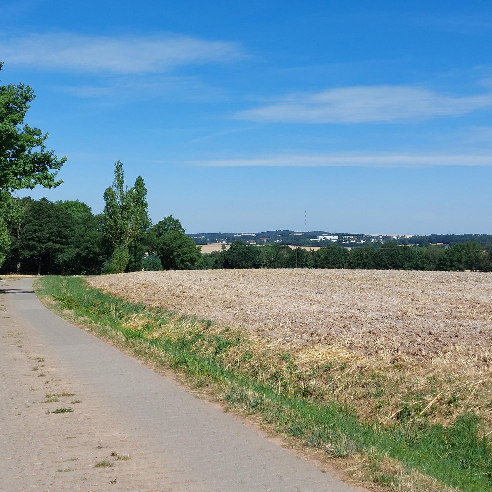
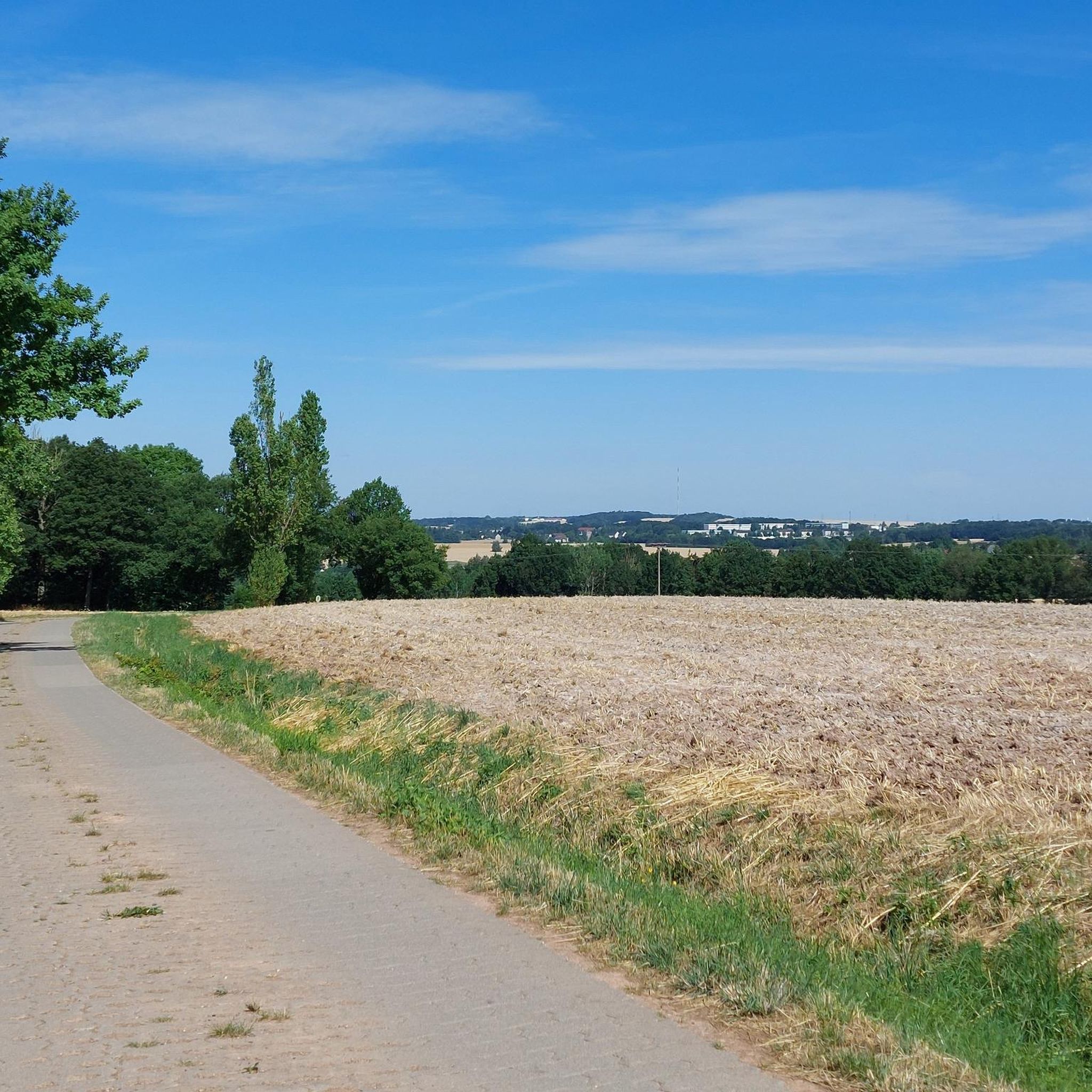
The measuring point (in the middle of the field) on the Glasberg was in the 19th century station 123 of the Royal Saxon Triangulation. "The Royal Saxon Triangulation (here with its historical proper name) is a land survey carried out between 1862 and 1890 in the territory of the Kingdom of Saxony, with the simultaneous creation of a trigonometric network. The aim was to scientifically and geodetically accurately capture the state territory and to create the basis for the production of accurate maps by establishing permanently marked fixed points. The Großenhainer baseline was determined as the scale-defining basis." - https://de.wikipedia.org/wiki/K%C3%B6niglich-S%C3%A4chsische_Triangulirung From the Oberalbertsdorf station, the neighboring stations Fuchsberg, Hospitalberg, Sorge, and Reust were sighted. Today, not all sightlines still exist, but the place offers a fantastic view of the mountains of the Westerzgebirge and Vogtland.
1
0

If the visibility is good, you can see as far as the Ore Mountains.
0
0
When the weather is nice, you have a fantastic view from here.
0
0

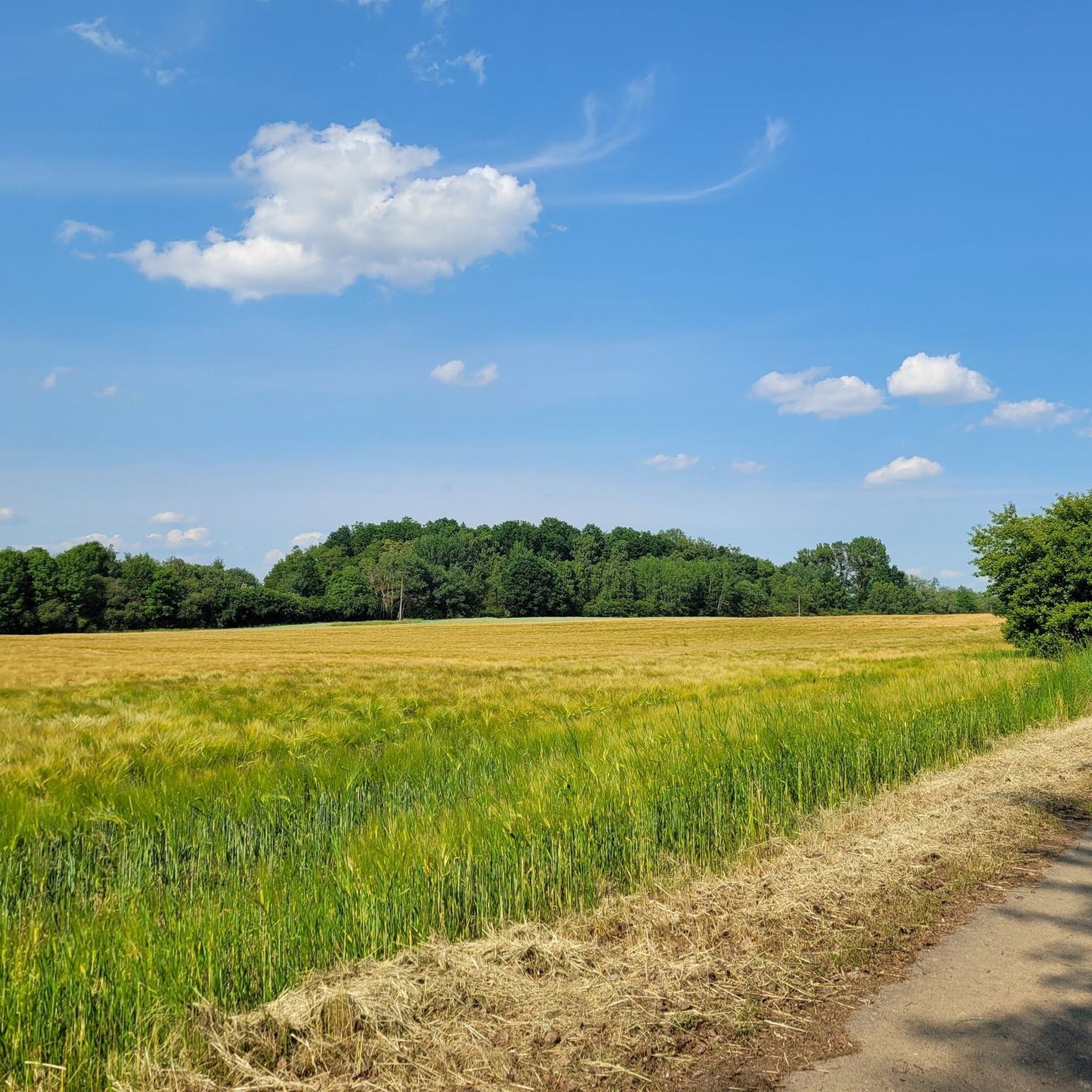
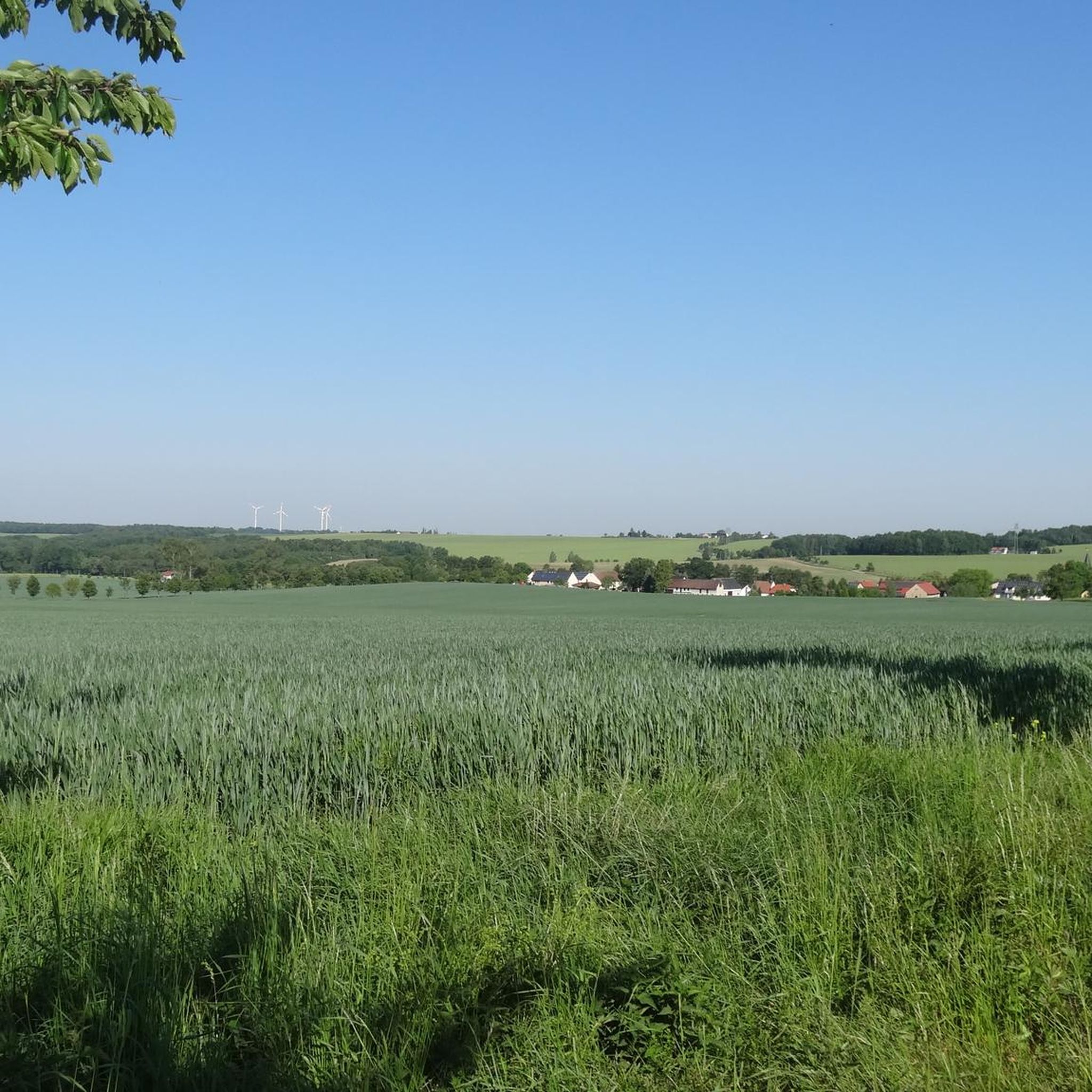
The Glasberg offers a beautiful panoramic view from the Vogtland to the western Ore Mountains. The small rest area is ideal for this when the weather is right.
1
0

from here you have a beautiful panoramic view
0
0

The seating group is located on a hairpin. From here you can continue towards Seelingstädt, Trünzig or Langenbernsdorf.
0
0
Frequently Asked Questions
How many running routes are available around Seelingstädt?
There are over 200 running routes in the Seelingstädt region, offering a wide variety of options for different preferences and fitness levels. The komoot community has explored more than 2000 of these trails.
What kind of terrain can I expect on the jogging routes in Seelingstädt?
The Seelingstädt area is known for its diverse landscapes. You can expect varied terrain, including picturesque riverbanks along the Weiße Elster, as well as paths through forests and meadows. This mix provides both tranquil, scenic runs and more challenging trails.
Are there easy jogging routes suitable for beginners in Seelingstädt?
Yes, Seelingstädt offers several easy running routes perfect for beginners. For instance, the Running loop from Vogelgesang is an easy 3.6 km (2.2 miles) trail that takes approximately 22 minutes to complete, offering a gentle introduction to the area's trails.
What interesting sights or landmarks can I see while running near Seelingstädt?
While jogging, you can encounter various interesting sights. The region features unique architectural elements like the historic Covered Wooden Bridge in Wünschendorf and the Dragon's Tail Bridge in Ronneburg. You might also pass by natural monuments such as the Princely Greiz Park or the Forebay of Koberbach Dam. For a unique experience, consider routes near the Sprotte Water Adventure Trail, which features interactive elements.
Are there any longer running trails for experienced runners in the region?
Absolutely. For those seeking a longer challenge, the Glasberg loop from Seelingstädt is a popular choice. This moderate 10.4 km (6.4 miles) trail leads through varied landscapes and typically takes about 1 hour and 7 minutes to complete, offering a good workout for experienced runners.
What do other runners enjoy the most about jogging in Seelingstädt?
The running trails in Seelingstädt are highly rated by the komoot community, with an average score of 4.6 stars from over 200 reviews. Runners often praise the varied landscapes, the tranquil river sections, and the mix of open and wooded areas that make each run unique and engaging.
Are there circular running routes available in Seelingstädt?
Yes, many of the running routes in Seelingstädt are circular, allowing you to start and end at the same point. An example is the Vorwerksholz loop from Braunichswalde, a moderate 5.2 km (3.2 miles) route that offers a pleasant loop through the local surroundings.
Can I find routes that pass by viewpoints or scenic spots?
Yes, the diverse landscape of Seelingstädt includes several scenic spots. While jogging, you might encounter natural features like the Weiße Elster riverbanks where the river meets sandstone rock, creating unique backdrops. The Schmirchauer Höhe — Grubengeleucht Observation Tower is also a notable viewpoint in the wider area.
What are the difficulty levels of the running trails in Seelingstädt?
The running trails around Seelingstädt cater to all abilities. Out of over 200 routes, you'll find approximately 20 easy trails, over 180 moderate trails, and around 26 difficult trails, ensuring there's a suitable option for every runner.
Are there any specific routes that explore the surroundings of nearby towns?
Yes, some routes extend to explore the charming surroundings of nearby towns. For example, the Running loop from Braunichswalde is a popular moderate 9.1 km (5.7 miles) path that takes you through the scenic areas around Braunichswalde.
What are the typical elevations on the jogging routes in Seelingstädt?
The elevation profiles vary across routes, contributing to the diverse running experience. For instance, a moderate route like the Running loop from Seelingstädt has an elevation gain of about 69 meters (226 feet), offering gentle inclines and descents suitable for a good workout.
Most popular routes around Seelingstädt
Most popular attractions around Seelingstädt

Get inspired with the komoot mobile app


Explore more
Browse the best Running Trails & Routes in other regions.
