The best running trails around Auerbach
4.5
(49)
686
runners
105
runs
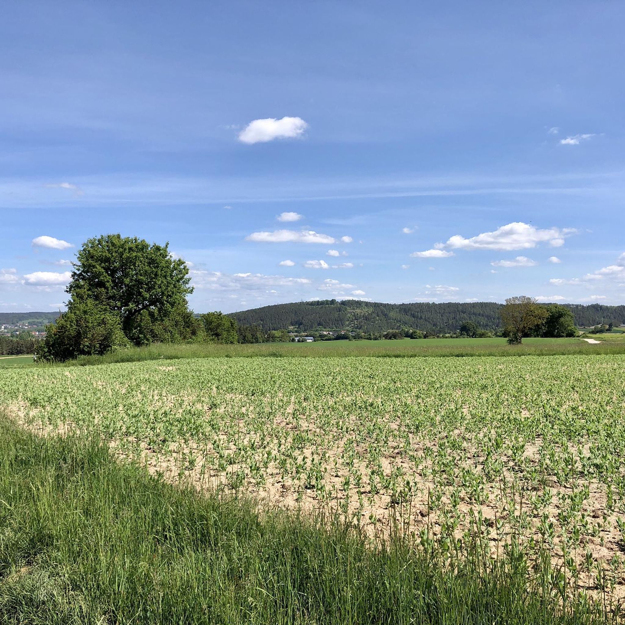
Jogging routes around Auerbach i.d. OPf. are set within a diverse natural landscape, characterized by rolling hills, extensive forests, and unique rock formations. The region is situated near the Franconian Switzerland-Veldenstein Forest Nature Park, offering a network of trails through varied terrain. Runners can expect paths that wind through dense woodlands and along scenic valleys, providing a mix of gentle inclines and more challenging ascents.
Best jogging routes around Auerbach
- The most popular jogging route is Pegnitz River loop from…
Last updated: June 26, 2026
4.7
(7)
65
runners
7.16km
00:45
70m
70m
Moderate run. Good fitness required. Mostly paved surfaces. Suitable for all skill levels.
5.0
(1)
36
runners
Moderate run. Good fitness required. Mostly paved surfaces. Suitable for all skill levels.

Sign up for free
5.0
(1)
40
runners
Moderate run. Good fitness required. Mostly paved surfaces. Suitable for all skill levels.
25
runners
7.54km
00:51
130m
130m
Moderate run. Good fitness required. Mostly paved surfaces. Suitable for all skill levels.
21
runners
6.52km
00:44
100m
100m
Moderate run. Good fitness required. Mostly paved surfaces. Suitable for all skill levels.
Get access to more routes and recommendations from other explorers.
Sign up for free
Already have an account?
Our route recommendations are based on thousands of hikes, rides, and runs completed by other people on komoot.
Start today with a free account
Your next adventure awaits.
Login or Signup
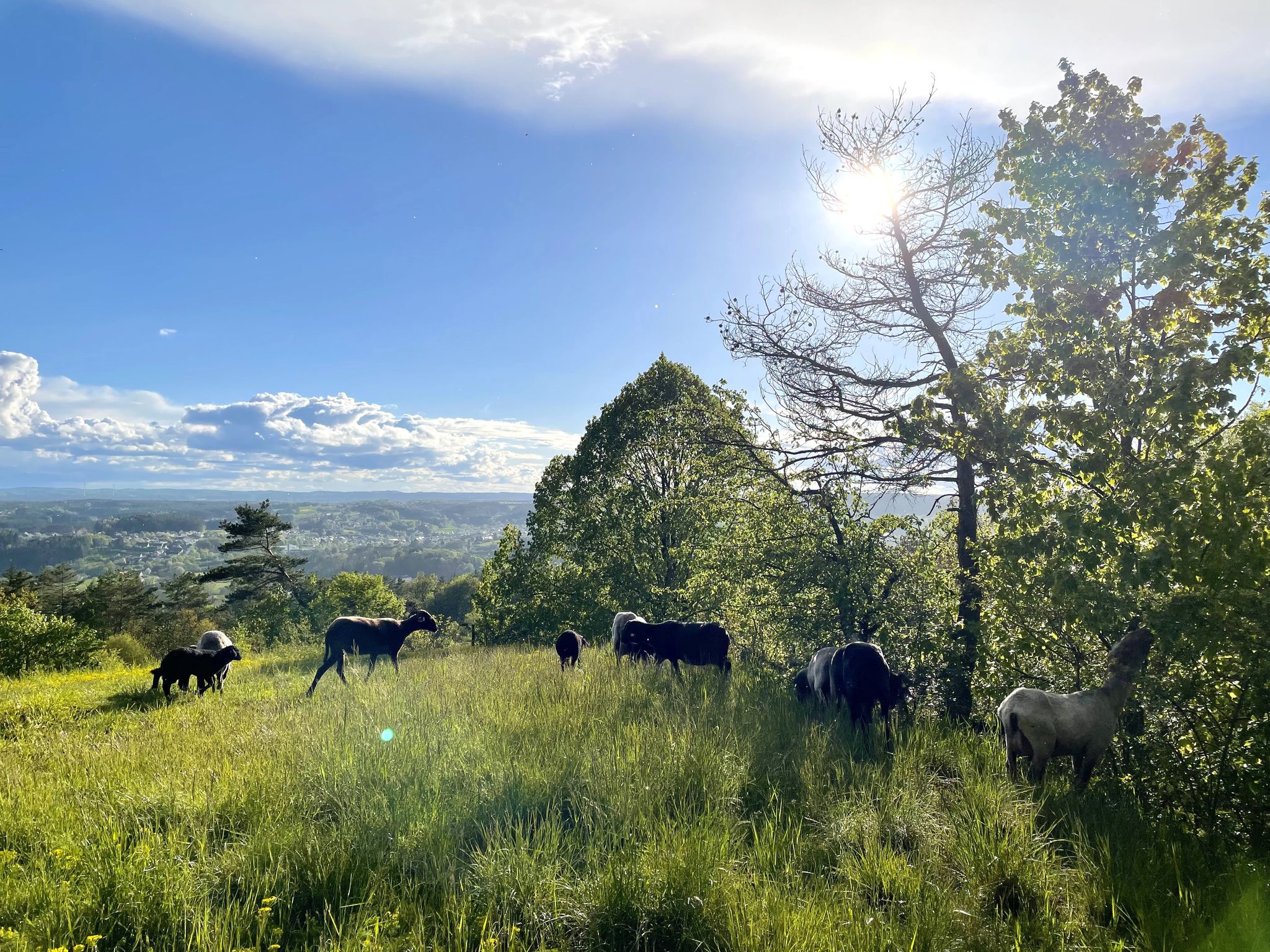
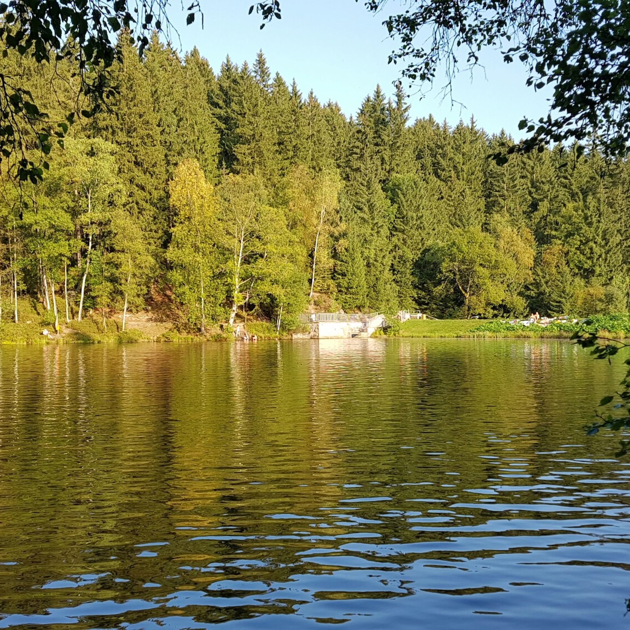
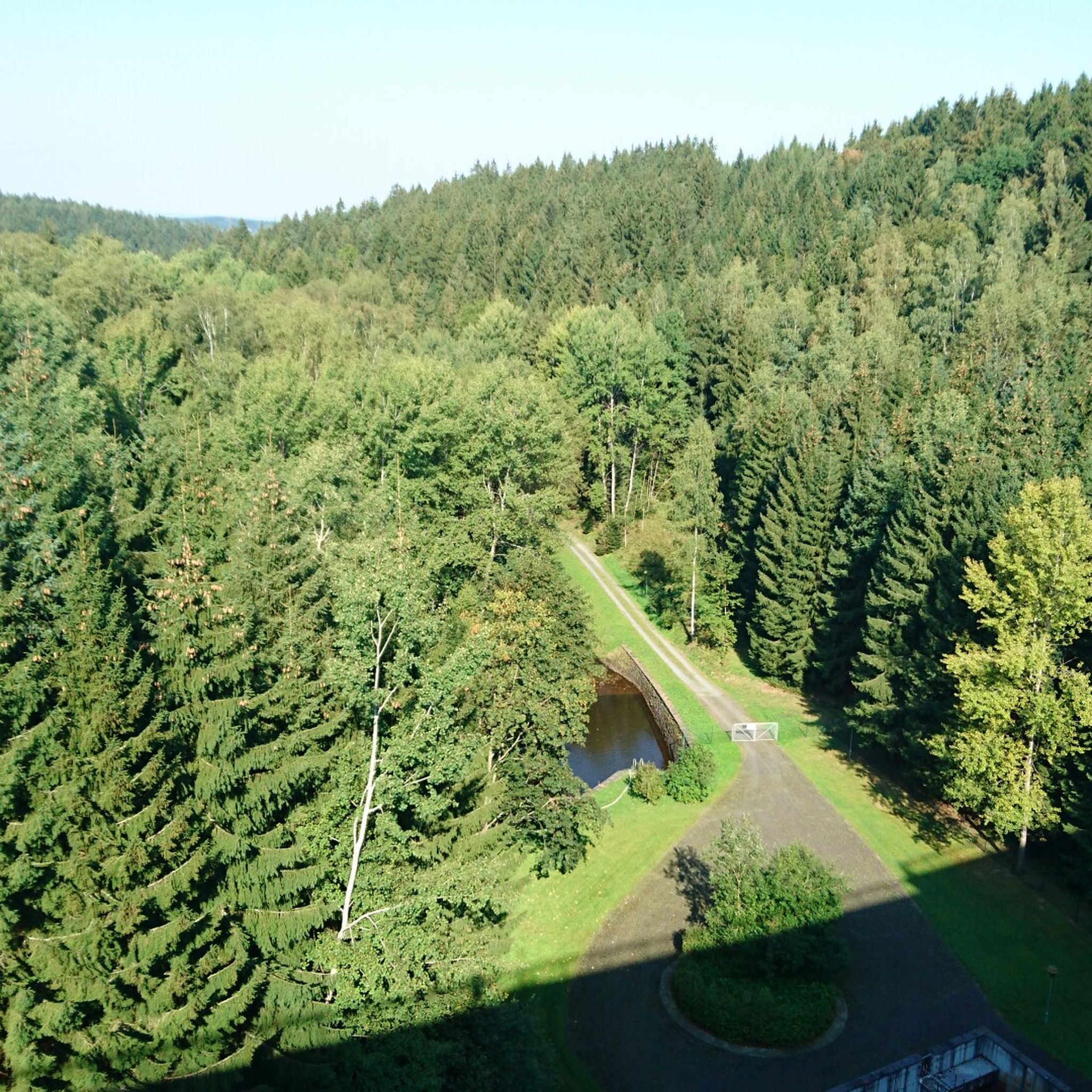
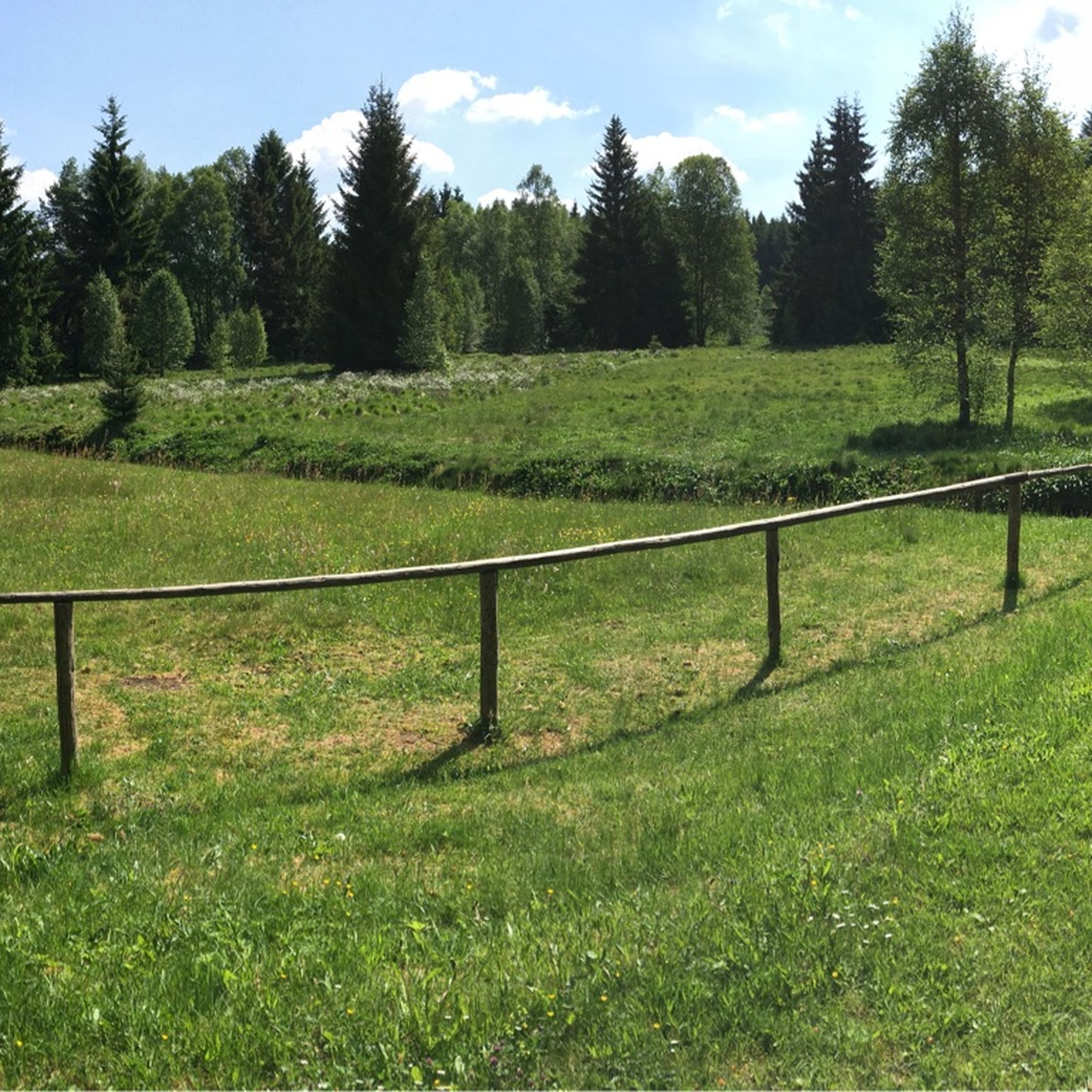

Other adventures around Auerbach

Tips from the Community

A very beautiful landscape
2
0

It is a small, natural opening in the rock through which water flows into the underground cave system. The name "swallow hole" comes from the idea that this is where the water is "swallowed". The area around the swallow hole is part of a hiking trail and visitors can watch the water disappear into the hole. However, access to the cave system is not permitted for safety reasons.
1
0
The Mystery Grotto is located near Neuhaus an der Pegnitz and is part of the Karst Hiking Trail. The name of the grotto comes from a legend that tells of the "White Lady". This legend says that the cursed soul of Countess Kunigunde von Leuchtenburg, who lived in the 13th century, is said to appear in the grotto as a restless spirit. The grotto is about 12 meters wide and 16 meters long and offers an impressive hall. Beautiful ice formations can be admired, especially in winter. The entrance to the grotto is partially walled up and closed in winter during the bat protection period. The grotto is only accessible from April to September.
1
0
The Distlergrotte, also known as Finstermühlhöhle, is a karst cave near Neuhaus an der Pegnitz. The cave has a total length of about 90 meters and is constructed as a descending system of floors with crevices and small halls. It contains sinter groups, moon milk and ceiling potholes. The entrance is partially walled up and closed with an iron bar in winter during the bat protection period. The cave is only accessible between April 1 and September 30. Ice Age animal bones of mammoth, woolly rhinoceros, cave bear, hill hyena, reindeer, red deer, wild horse, bison and ancient cattle have been found in the cave.
1
0

"A ponor (from South Slavic) - also known as a swallow hole, Schwalgloch (in Westphalian), sinkhole, Bachschwinde, katavothra (modern Greek καταβόθρα) or gully - is an opening in the surface of the land through which a flowing or standing body of water drains off and continues to flow underground. The ponor is a typical karst phenomenon that occurs in many regions of the world and therefore often occurs in regions whose subsoil consists of limestone. Sink holes that lie in the karst funnels typical of karst areas are called ponordolines." https://de.wikipedia.org/wiki/Ponor#:~:text=Der%20Ponor%20ist%20eine%20typische,liegen%2C%20werden%20als%20Ponordolinen%20bezeichnet.
0
0

Interesting cave. One could descend to a cave lake with proper gear.
2
1
The entrance lies beautifully in the midst of the stately rocks. The cave itself is actually rather small at around 12 meters in diameter. Rather, it owes its charm to the mysterious entrance, which at first seems to duck away from the visitor. And the legend to which the name Mysteriengrotte goes back is, thanks to the scary factor, an additional mood factor. Because this is where the “White Woman” is supposed to appear again and again. And this legend even has a true origin. Because the "White Woman" is said to be the cursed soul of Countess Kunigunde von Leuchtenburg, who lived at the foot of the Plassenburg in the 13th century. She murdered her two children, believing that the infants would stand in the way of her remarriage to Albrecht the Handsome, Burgrave of Nuremberg. Despite extensive penance in later, still unmarried days and the founding of a monastery, which she presided over as abbess, her restless spirit is said to have haunted the Mystery Grotto since her death.
4
0

Nothing for fat people. may they still be so nice. Challenging shafts. Nothing works without a rope. Sandy, slippery, exciting.
1
2
Frequently Asked Questions
How many running routes are available around Auerbach i.d. OPf.?
There are nearly 100 dedicated running routes in and around Auerbach i.d. OPf. These routes cater to various fitness levels, with 9 easy, 77 moderate, and 13 difficult options.
What kind of terrain can I expect on the jogging trails in Auerbach?
Jogging routes in Auerbach i.d. OPf. feature a diverse natural landscape, characterized by rolling hills, extensive forests, and unique rock formations. You'll find paths winding through dense woodlands and along scenic valleys, offering a mix of gentle inclines and more challenging ascents. The region is on the doorstep of the Franconian Switzerland-Veldenstein Forest Nature Park, ensuring varied and picturesque terrain.
Are there any easy running routes for beginners in Auerbach?
Yes, Auerbach i.d. OPf. offers 9 easy running routes suitable for beginners or those looking for a more relaxed jog. These paths typically have less elevation gain and are often shorter, providing a gentle introduction to the region's beautiful scenery.
What are some notable natural features or landmarks I can see while running in Auerbach?
The region is rich in unique natural features. You can explore the karst rock labyrinth known as the Stone city with the "Two Brothers", or encounter bizarre Rock formations on the Jägersteig. The romantic Klumpertal valley and the area around the Vogelherd Grotto also offer impressive natural beauty along the trails.
What do other runners say about the jogging experience in Auerbach i.d. OPf.?
The running routes in Auerbach i.d. OPf. are highly rated by the komoot community, with an average score of 4.6 stars from over 40 reviews. More than 600 runners have used komoot to explore the varied terrain, often praising the quiet woodlands and scenic beauty.
Are there any circular running routes in the area?
Yes, many of the routes in Auerbach i.d. OPf. are circular, allowing you to start and finish at the same point. For example, the Running loop from Sackdilling is a moderate 6.5 km trail, and the Running loop from Auerbach in der Oberpfalz offers a 6.4 km option directly from the town.
What is the best time of year for jogging in Auerbach i.d. OPf.?
Spring and autumn are particularly recommended for outdoor activities, including jogging, in Auerbach i.d. OPf. The mild weather and vibrant natural colors, with blooming flowers in spring and warm autumnal hues in the forests, create an ideal environment for running.
Are there any longer, more challenging running trails for experienced runners?
Yes, for experienced runners seeking a challenge, there are 13 difficult routes available. One such option is the Vogelherd Grotto – Weissingkuppe Rock Labyrinth loop from Maximiliansgrotte, a moderate 11.4 km path that explores an area known for its rock formations and includes some significant ascents.
Can I find running routes that pass by rivers or valleys?
Absolutely. The region features several scenic valleys and waterways. The Pegnitz River loop from Neuhaus an der Pegnitz offers beautiful views along the river. Additionally, the romantic Klumpertal and the Upper Püttlach Valley are popular spots for outdoor activities and can be incorporated into your running plans.
Are there any routes that go through the Bürgerwald (Citizen's Forest)?
Yes, the local Bürgerwald offers numerous paths ideal for jogging. This forest is known for its tranquility and features caves and rock formations, adding an element of exploration to your run. Many local loops, such as the Running loop from Nitzlbuch, lead through forested areas and rolling hills, likely including sections of the Bürgerwald.
What is the typical elevation profile for running routes in Auerbach?
The running routes in Auerbach i.d. OPf. are characterized by rolling hills, meaning you can expect varied topography. While some routes offer gentle inclines, others, particularly the moderate and difficult ones, will feature more significant elevation gains and descents as they traverse the region's diverse landscapes and rock formations.
Most popular routes around Auerbach
Most popular attractions around Auerbach

Get inspired with the komoot mobile app


Explore more
Browse the best Running Trails & Routes in other regions.
