The best running trails around Bösenbrunn
4.5
(228)
2,446
runners
182
runs
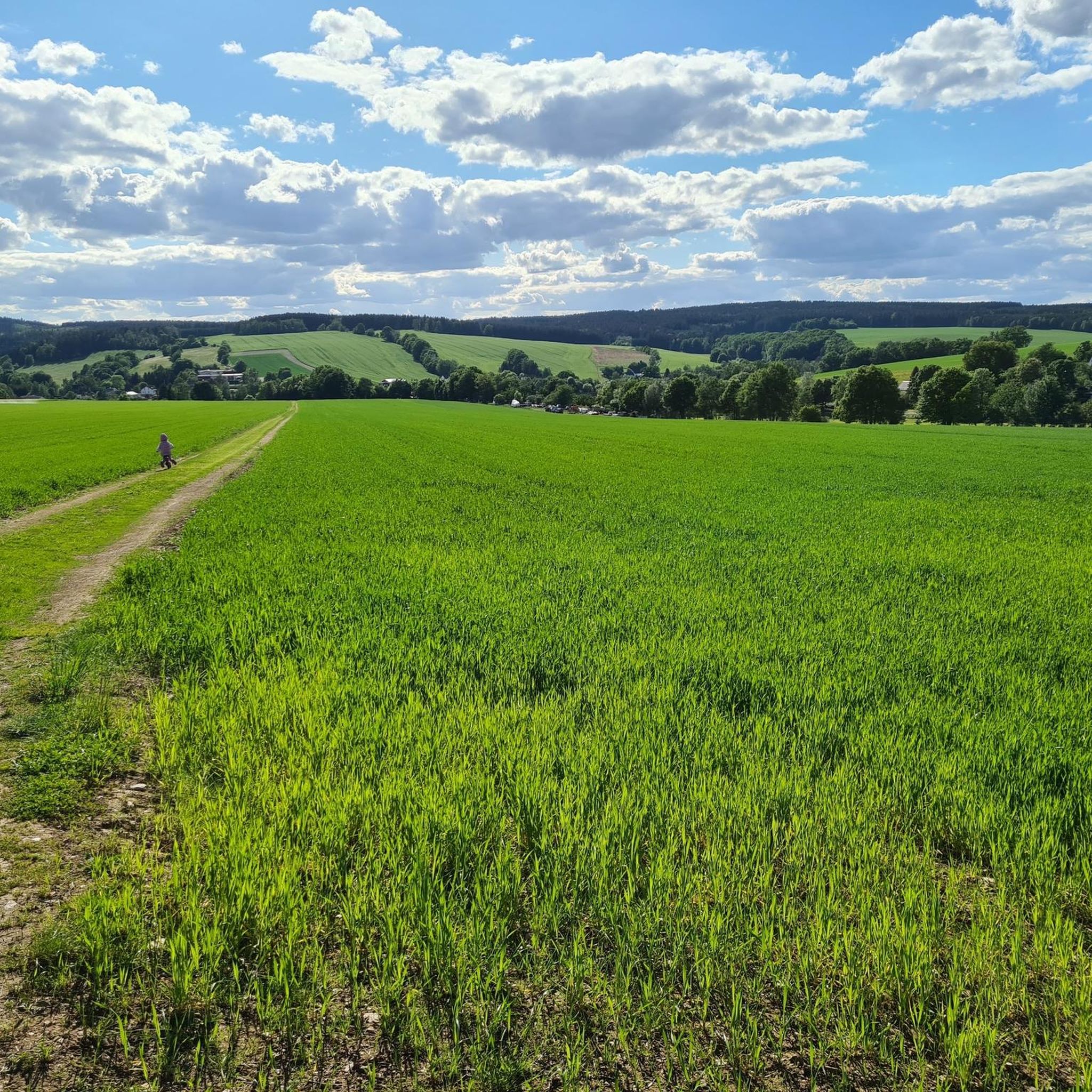
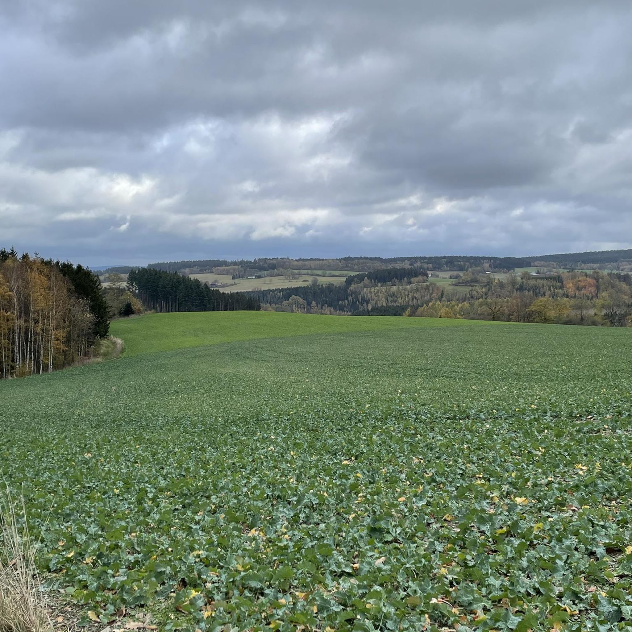
Jogging around Bösenbrunn offers diverse natural landscapes in the Vogtland region of Saxony, Germany. The area features a blend of forests, rolling hills, and several water bodies, providing varied terrain for runners. Elevation ranges from 395 meters at the Triebelbach to 618 meters above sea level in the south. The municipality is shaped by tributaries of the Weisse Elster river and includes parts of the Pirk and Dröda reservoirs.
Best jogging routes around Bösenbrunn
- The most popular jogging route is…
Last updated: June 26, 2026
5.0
(7)
36
runners
17.4km
01:55
150m
150m
Hard run. Very good fitness required. Mostly paved surfaces. Suitable for all skill levels.
3.5
(2)
23
runners
10.4km
01:06
50m
50m
Moderate run. Good fitness required. Mostly paved surfaces. Suitable for all skill levels.

Sign up for free
5.0
(2)
15
runners
6.91km
00:45
50m
50m
Moderate run. Good fitness required. Mostly paved surfaces. Suitable for all skill levels.
4.2
(5)
8
runners
6.54km
00:44
140m
140m
Moderate run. Good fitness required. Mostly paved surfaces. Suitable for all skill levels.
3.0
(1)
9
runners
Moderate run. Good fitness required. Mostly paved surfaces. Suitable for all skill levels.
Get access to more routes and recommendations from other explorers.
Sign up for free
Already have an account?
Our route recommendations are based on thousands of hikes, rides, and runs completed by other people on komoot.
Start today with a free account
Your next adventure awaits.
Login or Signup
Tips from the Community


I visited the Pirk Dam. It was a small parking lot in the forest. After climbing a few steps, you could enjoy a beautiful view of the dam. Once past the dam, you could also read some interesting facts about the dam. After a short walk, you could easily return to the parking lot below the dam.
3
0
A beautiful dam with a variety of recreational activities on its waters, including rowing and stand-up paddleboarding. The water is usually calm and the temperature is very pleasant for swimming. A trip to the dam wall is also recommended.
4
0

Currently the entire lake is completely infested with blue-green algae
0
0

On the north bank of the dam, a path runs directly along the bank. This is a beautiful hiking route where you can enjoy great views of the dam.
1
0

It's actually nice for swimming but currently full of blue-green algae 🙃
2
0
Frequently Asked Questions
How many running routes are available in Bösenbrunn?
Bösenbrunn offers a wide selection of routes for runners, with over 180 trails available on komoot. These range from easy jogs to more challenging runs through varied terrain.
What kind of terrain can I expect on running trails in Bösenbrunn?
The running trails in Bösenbrunn are characterized by diverse natural landscapes. You'll find a blend of picturesque forests, rolling hills, and paths alongside several water bodies like the Pirk and Dröda reservoirs. The elevation varies significantly, from 395 meters at the Triebelbach to 618 meters above sea level in the south, providing options for different fitness levels.
Are there easy running routes suitable for beginners in Bösenbrunn?
Yes, Bösenbrunn has approximately 30 easy running routes that are great for beginners or those looking for a relaxed jog. These trails typically feature less elevation gain and smoother paths.
Are there challenging running trails for experienced runners in Bösenbrunn?
Absolutely. For experienced runners seeking a challenge, there are about 15 difficult routes available. These often include significant elevation changes, such as the Pirk Dam – Pirk Dam loop from Oelsnitz (Vogtl), which covers 17.4 km with over 140 meters of elevation gain.
Can I find circular running routes in Bösenbrunn?
Yes, many of the running paths in Bösenbrunn are circular, allowing you to start and finish at the same point. Examples include the popular Pirk Reservoir – Pirk Dam loop from Elsterhang bei Pirk, a moderate 10.4 km route, or the shorter Pirk Reservoir – Pirk Dam loop from Taltitz.
What are some scenic viewpoints or natural features to see while running?
Bösenbrunn's routes offer beautiful scenery. You can enjoy views of the Pirk and Dröda reservoirs, run alongside tributaries of the Weisse Elster river, and explore extensive forests. Notable sights include the Elstertal Bridge (Pirk), which provides an impressive landmark near some trails.
Are the running trails in Bösenbrunn dog-friendly?
While specific regulations can vary, the extensive network of idyllic hiking and running trails through forests and along water bodies in Bösenbrunn is generally suitable for running with dogs, provided they are kept under control. Always ensure to follow local signage regarding pets.
What do other runners enjoy most about jogging in Bösenbrunn?
The running routes in Bösenbrunn are highly rated by the komoot community, with an average score of 4.4 stars from over 200 reviews. Runners frequently praise the varied terrain, the scenic beauty of the forests and reservoirs, and the well-maintained paths that cater to different ability levels.
Are there any routes that follow the Weisse Elster River?
Yes, you can find running routes that follow the Weisse Elster River. For instance, the Running loop from Weiße Elster offers a 6.5 km moderate path along the river, providing a pleasant and relatively flat running experience.
Can I combine running with exploring local attractions?
Yes, some running routes pass near interesting local attractions. For example, you might find trails close to historical mining tunnels like the Gold Mine Tunnel on the Geopath or the Robbers' Cave, offering a chance to explore a bit of local history during your run.
Are there any long-distance running paths in the Bösenbrunn area?
Bösenbrunn is part of the Vogtland region, which is known for its extensive trail network. The renowned E3 European long-distance path traverses the forested areas, largely following the Erzgebirge-Vogtland ridge route. While not exclusively for running, these well-maintained paths offer excellent opportunities for longer running sessions.
What is the best time of year to go running in Bösenbrunn?
The region's 'idyllic hiking trails' are particularly inviting in summer, offering shaded paths through forests. However, the diverse landscapes of forests, hills, and reservoirs provide beautiful scenery year-round. Spring and autumn offer pleasant temperatures and vibrant colors, while winter running can be picturesque, though conditions may require appropriate gear.
Most popular routes around Bösenbrunn
Most popular attractions around Bösenbrunn

Get inspired with the komoot mobile app


Explore more
Browse the best Running Trails & Routes in other regions.
