The best running trails around Gutenborn
4.6
(152)
1,886
runners
224
runs
Jogging around Gutenborn offers a variety of routes through a landscape characterized by gentle rolling terrain and local water features like the Mühlteich and Dorfteich. The region provides a mix of paths suitable for different fitness levels, often winding through rural settings and alongside small lakes. Elevation changes are generally moderate, making the area accessible for regular running.
Best jogging routes around Gutenborn
- The most popular jogging route is Mühlteich loop from Klinikum, a 5.5 miles (8.9 km) trail…
Last updated: July 8, 2026
11
runners
8.90km
01:00
110m
110m
Moderate run. Good fitness required. Mostly paved surfaces. Suitable for all skill levels.
5.0
(1)
6
runners
10.0km
01:05
110m
110m
Moderate run. Good fitness required. Mostly paved surfaces. Suitable for all skill levels.

Sign up for free
5.0
(1)
6
runners
9.06km
00:58
100m
100m
Moderate run. Good fitness required. Mostly paved surfaces. Suitable for all skill levels.
6
runners
6.51km
00:41
40m
40m
Moderate run. Good fitness required. Mostly paved surfaces. Suitable for all skill levels.
5.0
(1)
4
runners
6.04km
00:43
120m
120m
Moderate run. Good fitness required. Mostly paved surfaces. Suitable for all skill levels.
Get access to more routes and recommendations from other explorers.
Sign up for free
Already have an account?
Our route recommendations are based on thousands of hikes, rides, and runs completed by other people on komoot.
Start today with a free account
Your next adventure awaits.
Login or Signup
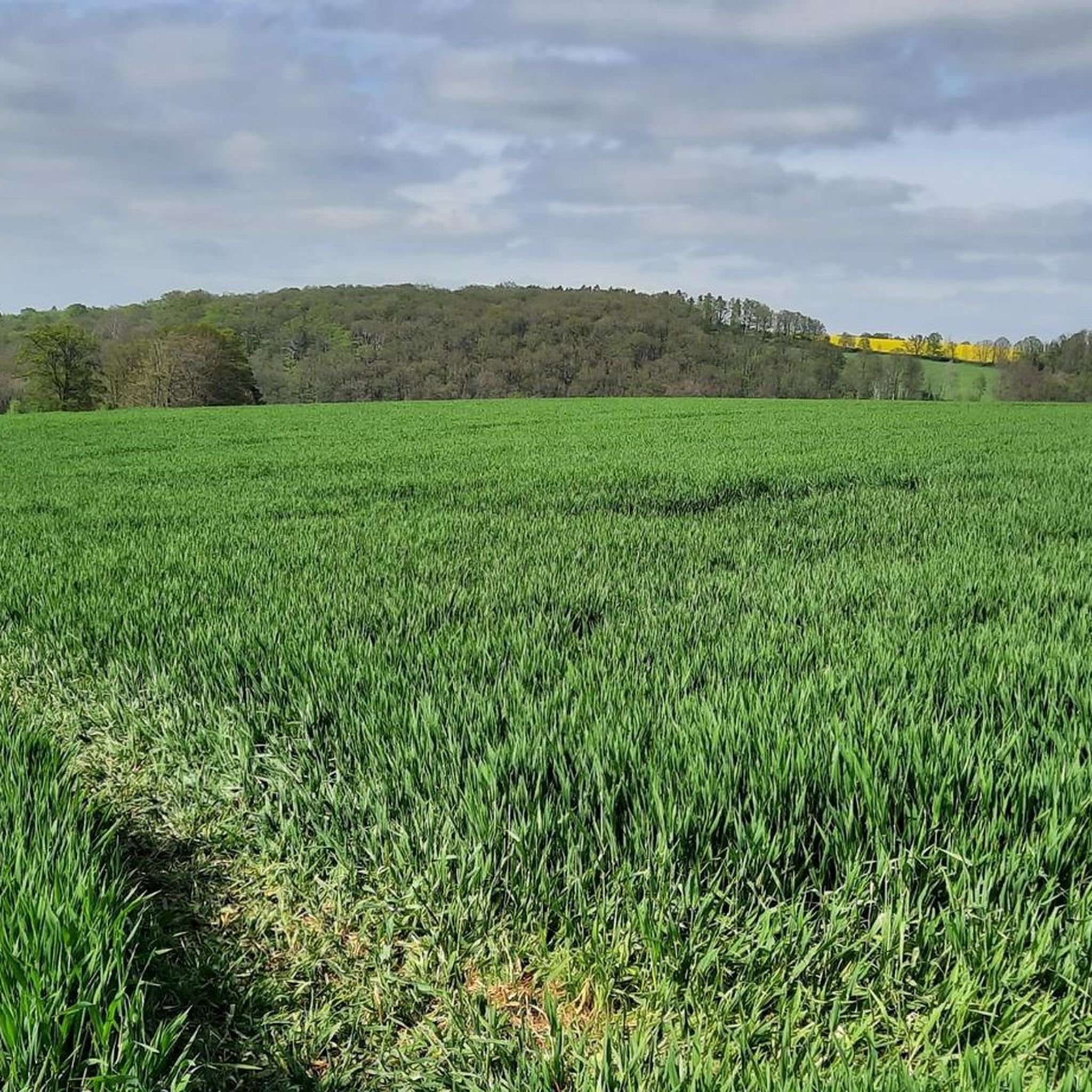
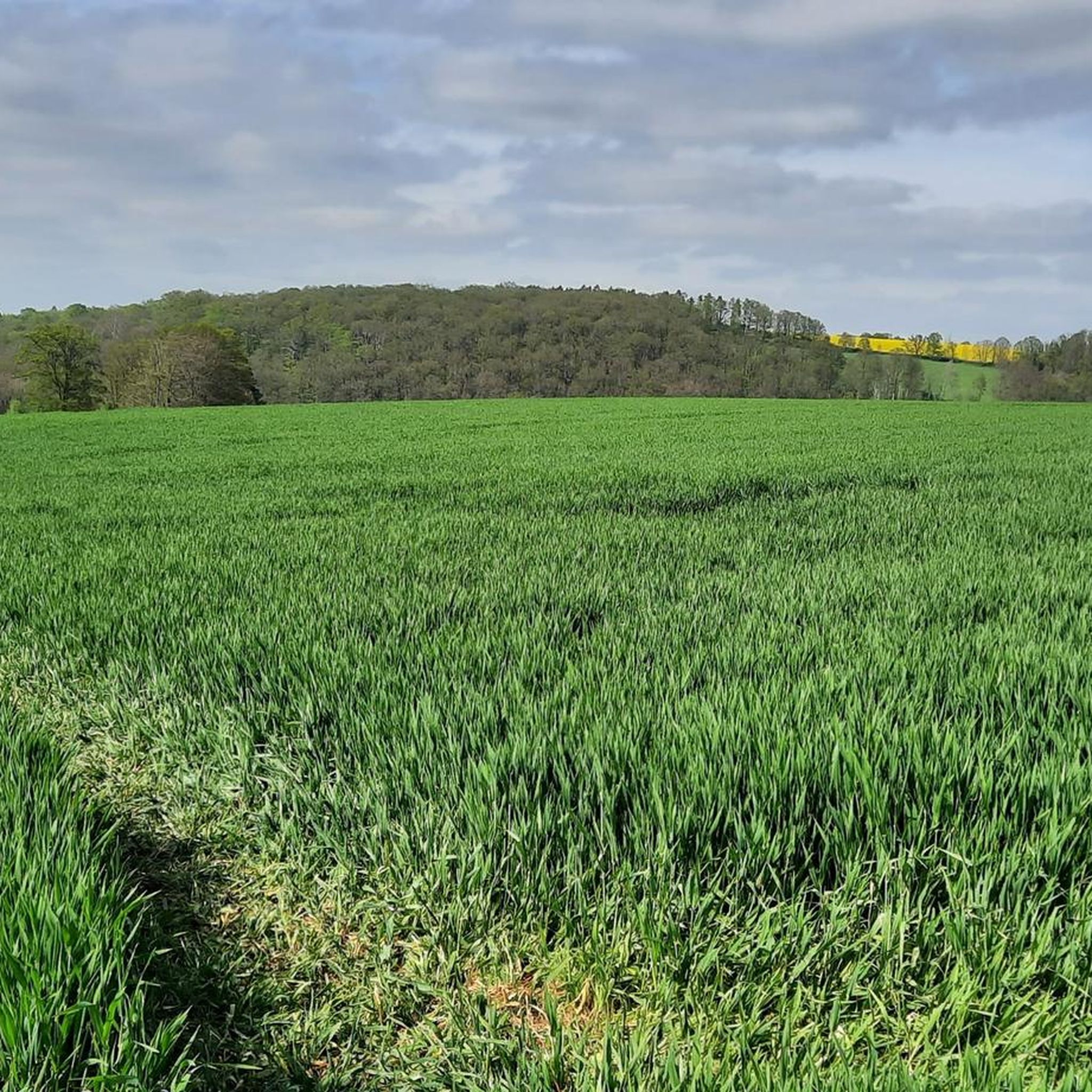
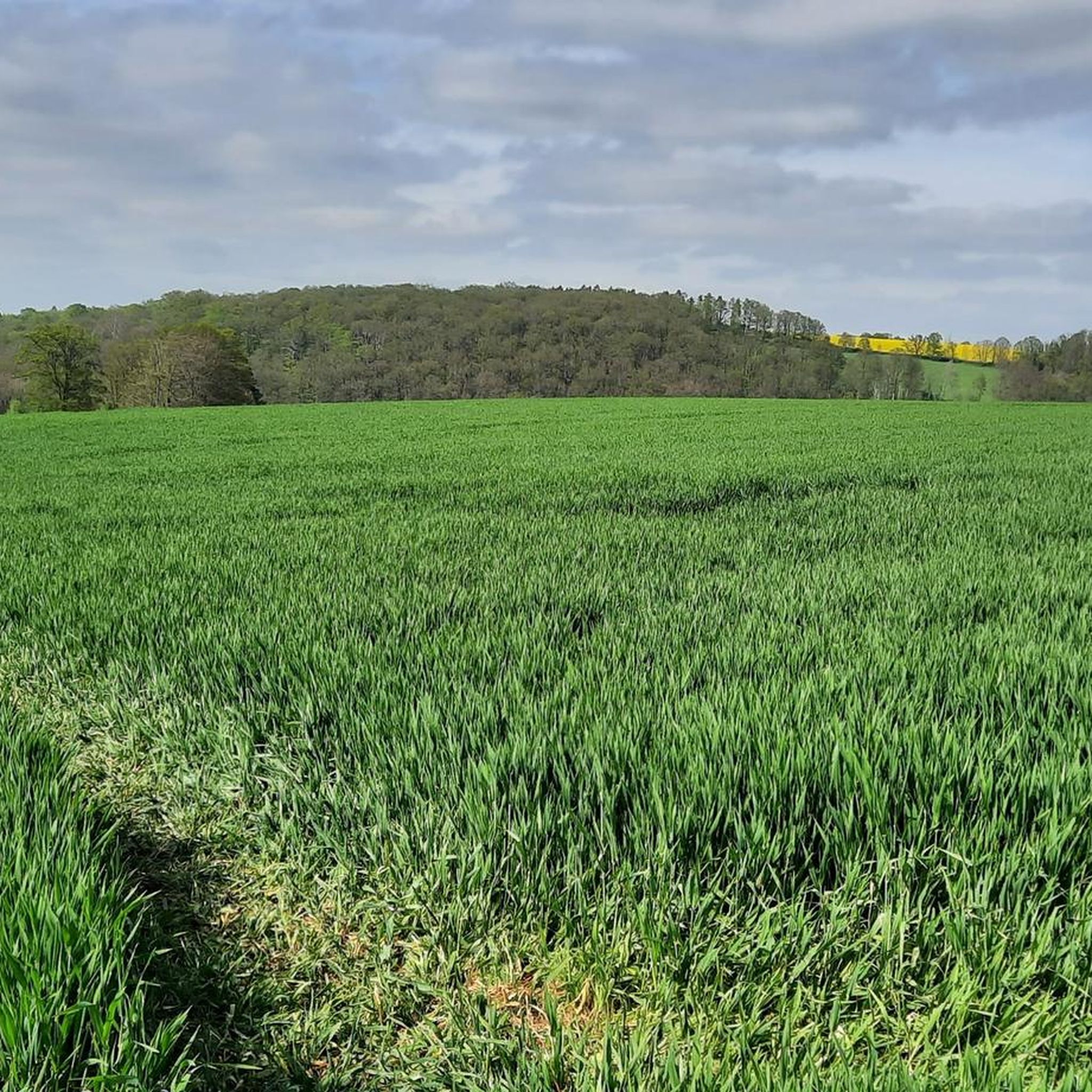
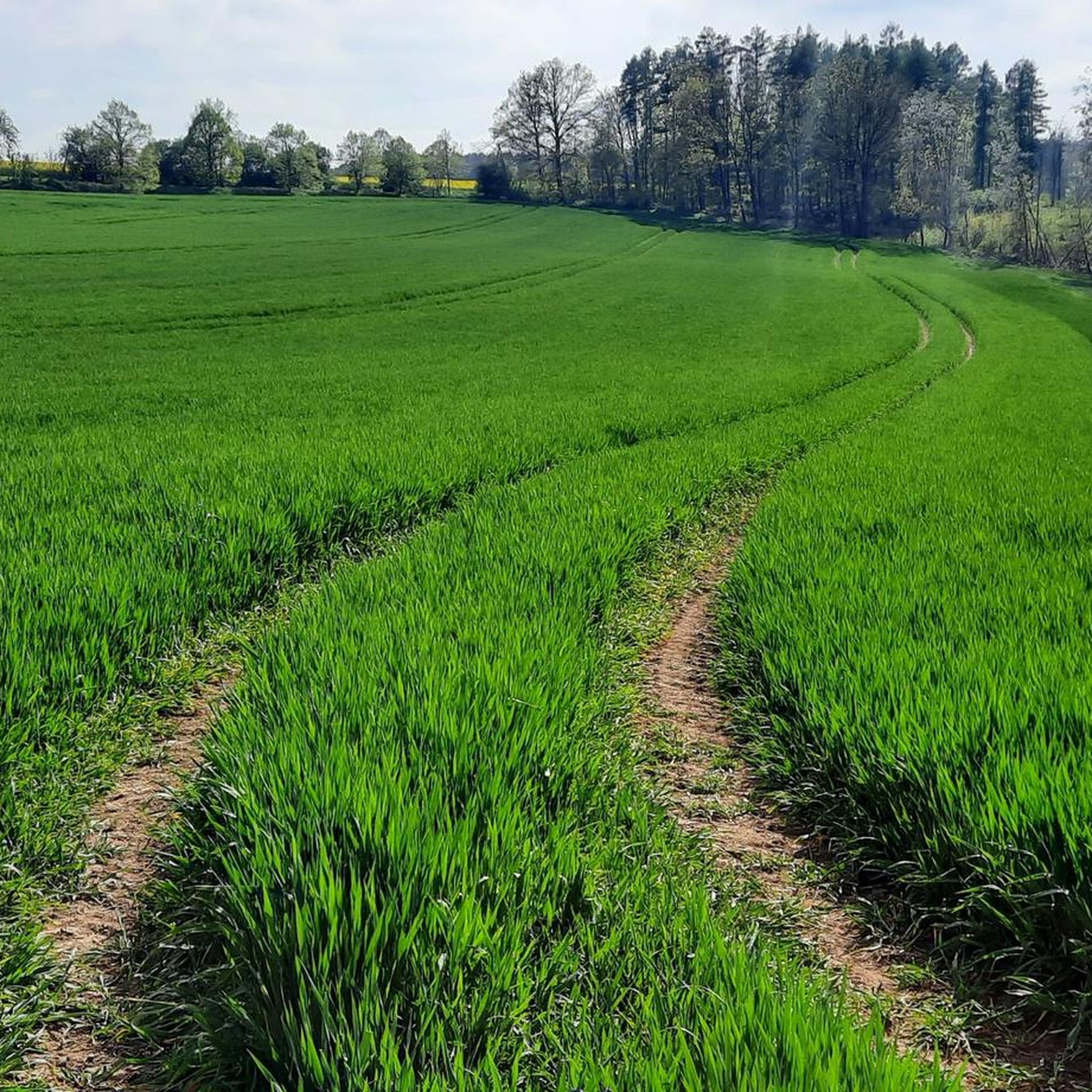

Tips from the Community

Station no. 21 The Red
1
1
The Royal Saxon triangulation is a state survey carried out in the years 1862 to 1890 on the territory of the Kingdom of Saxony with the simultaneous creation of a trigonometric network. Source: Wikipedia
1
0

The first-order triangulation column No. 21 of the Saxon state survey of 1873 is located on the Kuhndorferhöhe, which is more than 280 m above sea level. after all, it is almost 150 m above the Weißen Elster and is therefore the highest elevation in Zeitz that you can walk to. Six other observation points in Saxony and Thuringia were aimed at from this column and the angles between the visual axes were measured to calculate the distances. Therefore, the pillar is naturally located at a good vantage point. To the south there is a good view from the foothills of the Vogtland on the Kuhberg to the ridges of the western Ore Mountains, from the Schneehübel to the Auersberg near Johanngeorgenstadt to the Fichtelberg. The Auersberg, 70 km away, with its distinctive radar tower is the most dominant elevation and can hardly be overlooked when visibility is good. It is more difficult to observe the Fichtelberg-Keilberg massif, which is not only about 20 km away from the column, but whose line of sight has now also been blocked with wind turbines. In addition, trees on the street of the column disturb. From the edge of the field on the other side of the road and below the sewage treatment plant a few meters down the road, the view towards the Ore Mountains is better or even possible and at least the trees can be avoided here. When the sun is low in the sky and visibility is good, the television tower on Klínovec, 90 km away, can just about be seen with the naked eye when the sunlight is reflected in the tower. With binoculars, however, the view of the Keilberg and Fichtelberghaus is always impressive when the visibility is good. To the north-east - a little to the east of the television tower in the direction of Geußnitz - the Trages high heap is an imposing spoil heap from the Espenhain opencast mine. Even further east, the chimney of the former Borna briquette factory can just about be seen with the naked eye. The Collmberg near Oschatz can be seen right next to it. Thus, of the six triangulation points (first order) of this column, the two most distant can still be seen (Fichtelberg & Collmberg). The views of Leipzig and the Reuster Berg near Ronneburg are overgrown. Rochlitzer Berg and Pfaffenberg near Limbach-Oberfrohna can still be seen to the southeast behind power poles and trees. Unfortunately, the column is on a road and not on a hiking trail with a rest area. Nevertheless, with good visibility, the column is a nice destination.
0
0

In memory of the survey in 1873. A geodetic measuring point as part of the survey of the continent at that time.
5
0
Frequently Asked Questions
What types of running routes can I find around Gutenborn?
Gutenborn offers a diverse range of running routes, characterized by gentle rolling terrain and local water features like the Mühlteich and Dorfteich. You'll find paths suitable for various fitness levels, from easy jogs through rural settings to more challenging runs with moderate elevation gains. In total, there are over 220 running routes available in the area.
Are there any easy running routes for beginners in Gutenborn?
Yes, Gutenborn has a good selection of easy running routes perfect for beginners or those looking for a relaxed jog. Out of the over 220 routes, 38 are specifically categorized as easy, offering accessible paths with minimal elevation changes. The region's gentle landscape is ideal for getting started.
Can I find circular running routes in Gutenborn?
Absolutely. Many of the running routes around Gutenborn are designed as loops, allowing you to start and finish in the same location. For example, the Mühlteich – Dorfteich loop from Gutenborn is a popular moderate 10 km (6.2 miles) option that explores both local ponds. Another great choice is the Mühlteich loop from Klinikum, covering 8.9 km (5.5 miles).
What are some scenic highlights or attractions along the running trails in Gutenborn?
While jogging in Gutenborn, you'll often encounter picturesque water features like the Mühlteich and Dorfteich. The area also boasts historical landmarks. You could explore nearby castles such as Moritzburg Palace in Zeitz or Droyßig Castle. For natural beauty, keep an eye out for viewpoints like the Sachsenberg Viewpoint.
How long do the running routes in Gutenborn typically take to complete?
The duration of running routes in Gutenborn varies depending on the distance and your pace. Many popular moderate routes, such as the Mühlteich loop from Zeitz (9.1 km / 5.6 miles), typically take about 1 hour. Shorter options like the Schwanenteich loop from Völkerfreundschaft (5 km / 3.1 miles) can be completed in around 40 minutes.
Are there any family-friendly running paths in the Gutenborn area?
Yes, the gentle terrain and numerous easy routes make Gutenborn suitable for family-friendly runs. Paths around the local ponds, like the Mühlteich and Dorfteich, often provide flat and accessible surfaces. Look for routes categorized as 'easy' on komoot, which are generally well-suited for families with children or those pushing strollers.
What do other runners say about the trails in Gutenborn?
The running trails in Gutenborn are highly regarded by the komoot community, boasting an impressive average rating of 4.7 out of 5 stars from over 140 reviews. Runners frequently praise the area's accessible paths, the serene local ponds, and the gentle hills that offer a pleasant and varied running experience.
Are there options for longer distance running in Gutenborn?
While many routes are moderate in length, Gutenborn does offer options for longer runs. The region's network of paths allows for combining sections or choosing routes that extend further into the rural landscape. The Mühlteich – Dorfteich loop from Gutenborn, at 10 km (6.2 miles), is one of the longer single loops available.
Can I find running routes with minimal elevation gain in Gutenborn?
Yes, Gutenborn is known for its gentle rolling terrain, making it easy to find running routes with minimal elevation gain. Many paths wind through flat rural areas and along the edges of local ponds. For example, the Schwanenteich loop from Völkerfreundschaft has an elevation gain of only about 40 meters over 5 km.
Are there any running routes that pass by places to rest or grab a snack?
While specific cafes directly on every route aren't always guaranteed, the region does offer places to rest. You might find rest areas with shelters, such as the Rest area with shelter and book exchange on the Elster Cycle Path, or the Kuhndorf Shelter. These spots can be convenient for a short break during your run.
What is the best time of year to go running in Gutenborn?
Gutenborn's running trails are enjoyable throughout much of the year. Spring and autumn offer pleasant temperatures and beautiful scenery with changing foliage. Summer is also great, especially for early morning or late afternoon runs to avoid the midday heat. Even in winter, many paths remain accessible, though conditions can vary, so checking local weather is always recommended.
Most popular routes around Gutenborn
Most popular attractions around Gutenborn

Get inspired with the komoot mobile app


Explore more
Browse the best Running Trails & Routes in other regions.
