The best walks and hikes around Annois
4.4
(92)
244
hikers
53
hikes
Hiking around Annois offers exploration of a rural landscape in the Aisne department of northern France. The area is characterized by agricultural fields, interspersed with forested areas like the Bois d'Annois on its northern and southern edges. A significant natural feature is the Canal de Saint-Quentin, accompanied by connected ponds and a stream flowing through the commune. The terrain is generally gentle, with elevations ranging from approximately 63 to 158 meters, providing diverse conditions for hiking.
Best hiking trails around…
Last updated: August 23, 2026
4.0
(2)
9
hikers
14.1km
03:38
70m
60m
Moderate hike. Good fitness required. Easily-accessible paths. Suitable for all skill levels.
5.0
(1)
2
hikers
Moderate hike. Good fitness required. Easily-accessible paths. Suitable for all skill levels.

Sign up for free
5.0
(1)
3
hikers
14.6km
03:55
170m
170m
Moderate hike. Good fitness required. Easily-accessible paths. Suitable for all skill levels.
4.5
(2)
3
hikers
9.11km
02:24
80m
80m
Moderate hike. Good fitness required. Easily-accessible paths. Suitable for all skill levels.
3.0
(1)
2
hikers
11.5km
02:56
30m
30m
Moderate hike. Good fitness required. Easily-accessible paths. Suitable for all skill levels.
Get access to more routes and recommendations from other explorers.
Sign up for free
Already have an account?
Our route recommendations are based on thousands of hikes, rides, and runs completed by other people on komoot.
Start today with a free account
Your next adventure awaits.
Login or Signup



Tips from the Community

Very nice varied circuit with elevation changes and beautiful clear views. I recommend it.
0
0
Frequently Asked Questions
How many hiking trails are available around Annois?
There are over 60 hiking trails around Annois, offering a wide range of options for different skill levels. You'll find everything from easy strolls to more challenging, longer paths through the varied landscape.
What kind of terrain can I expect on hikes in Annois?
The terrain around Annois is quite varied, characterized by agricultural fields, interspersed with forested areas on its northern and southern edges. You'll also encounter waterways like the Canal de Saint-Quentin and connected ponds. Elevations range from approximately 63 to 158 meters, providing gentle ascents and descents.
Are there any easy hiking routes suitable for beginners or casual walkers?
Yes, Annois offers a good selection of easy routes. Out of the over 60 trails, 28 are classified as easy, making them perfect for beginners or those looking for a relaxed walk through the rural landscape.
What natural features or landmarks can I see while hiking near Annois?
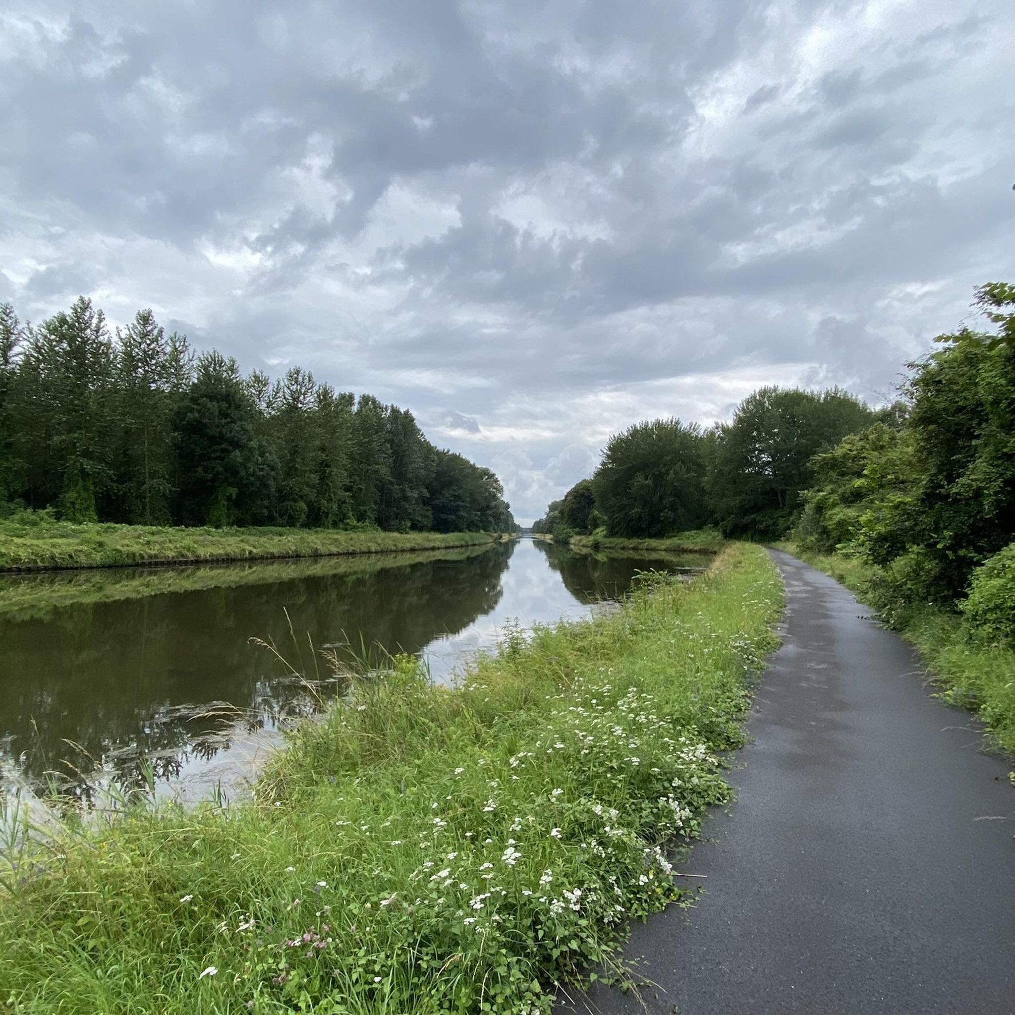
While hiking near Annois, you'll encounter significant natural features such as the Canal de Saint-Quentin, which passes just north of the commune, along with its connected ponds and a stream. You can also explore the surrounding agricultural landscapes and forested areas. For specific points of interest, consider visiting the Cycle path along the Canal de Saint-Quentin or the Seraucourt le Grand British Cemetery.
Are there any circular hiking routes in the Annois area?
Yes, many of the trails around Annois are circular, allowing you to start and end at the same point. An example is the moderate Pont de Braye loop from Flavy-le-Martel, which covers 11.5 kilometers.
What is the best time of year to go hiking in Annois?
The Hauts-de-France region, including Annois, is ideal for outdoor activities for much of the year. Spring and autumn offer pleasant temperatures and beautiful scenery, with lush greenery or vibrant fall colors. Summer is also suitable, though it can be warmer. The rural and forested areas provide a refreshing escape in any season.
Are there any dog-friendly hiking trails around Annois?
Many of the rural paths and trails in the Annois area are suitable for walking with dogs. It's generally recommended to keep dogs on a leash, especially when passing through agricultural land or near livestock, and to be mindful of local regulations. The natural environment of the Aisne department is very welcoming to pets.
Are there any family-friendly hiking options in Annois?
Yes, with 28 easy routes available, Annois offers several family-friendly hiking options. These trails typically feature gentle terrain and shorter distances, perfect for walks with children. The varied landscape of forests and open fields provides an engaging environment for all ages.
Where can I find parking for hiking trails in Annois?
Many hiking routes in the Annois area, especially those starting from nearby villages like Flavy-le-Martel or Cugny, will have designated parking areas. For instance, the Bois d'Annois – Bois de Foy loop starts from Flavy-le-Martel, where parking is typically available for hikers.
What do other hikers enjoy most about hiking in Annois?
The hiking experience in Annois is highly rated by the komoot community, with an average score of 4.5 stars from over 60 reviews. Hikers often praise the tranquil rural landscapes, the mix of agricultural fields and forested edges, and the peaceful presence of waterways like the Canal de Saint-Quentin. The variety of routes for different skill levels is also frequently appreciated.
Are there any longer or more challenging hikes for experienced hikers?
Yes, for experienced hikers seeking a greater challenge, Annois offers a few more difficult routes. The Bois d'Annois – Bois de la Coudre loop from Place de dépôt is a difficult 19.8-kilometer path that takes approximately 5 hours to complete, offering a longer adventure through wooded areas.
Most popular attractions around Annois

Get inspired with the komoot mobile app


Explore more
Browse the best Hikes in other regions.
