The best mountain hikes around Harsleben
5.0
(23)
96
hikers
4
hikes
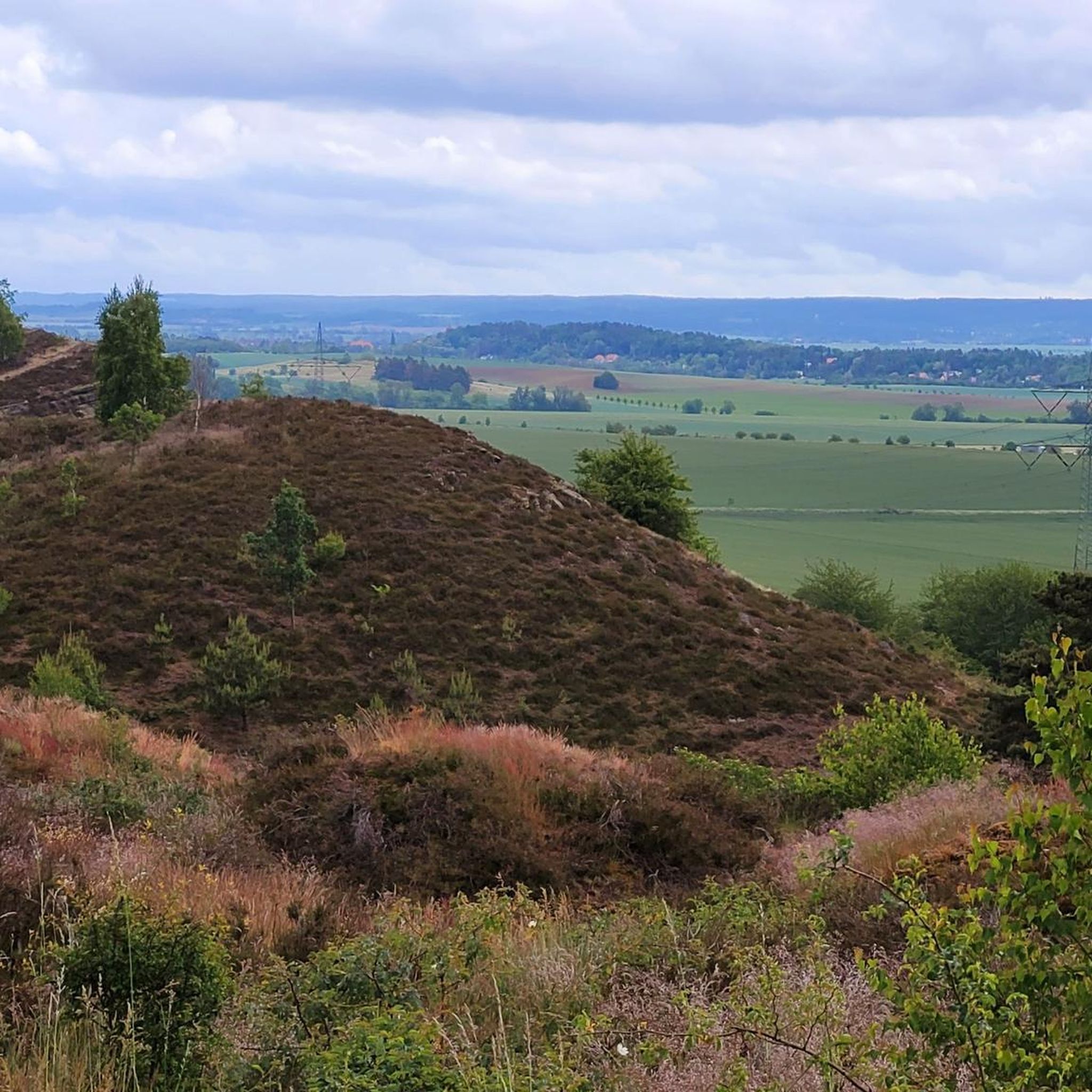
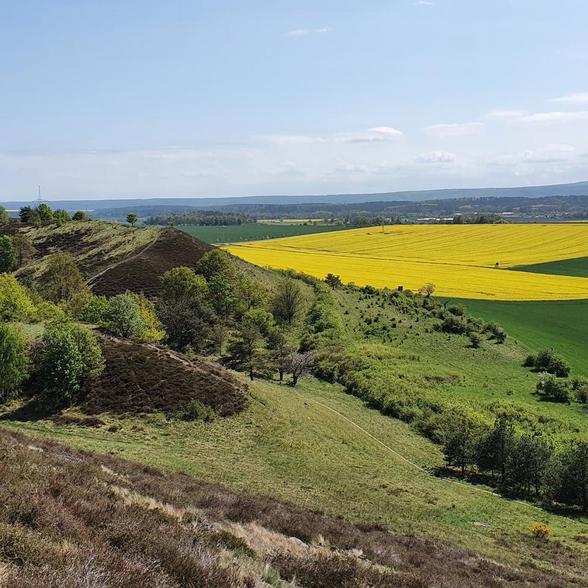
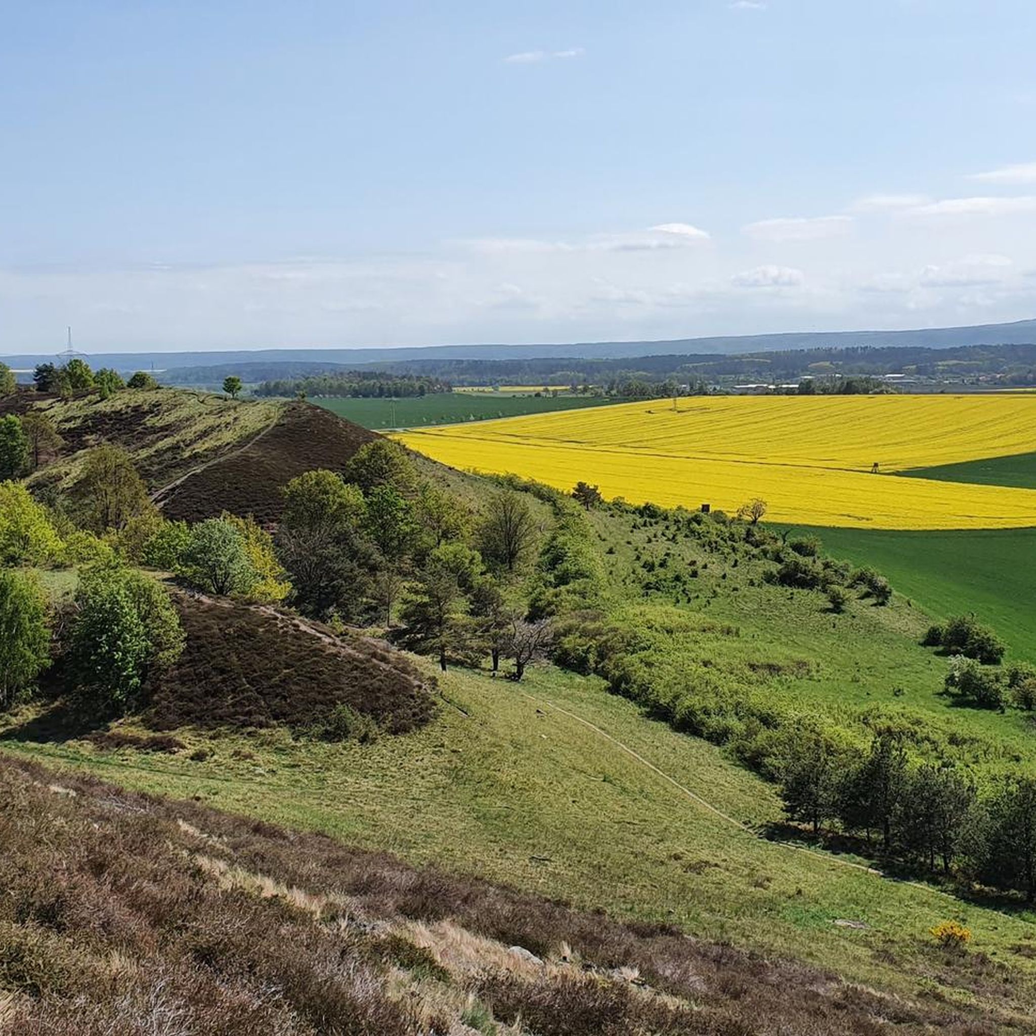
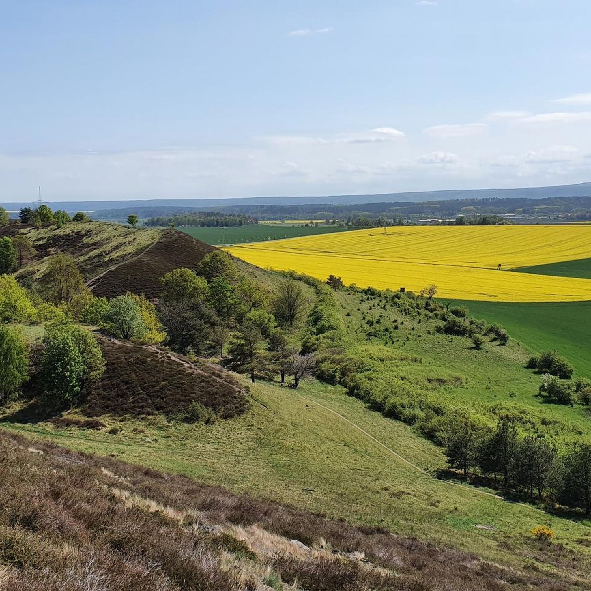
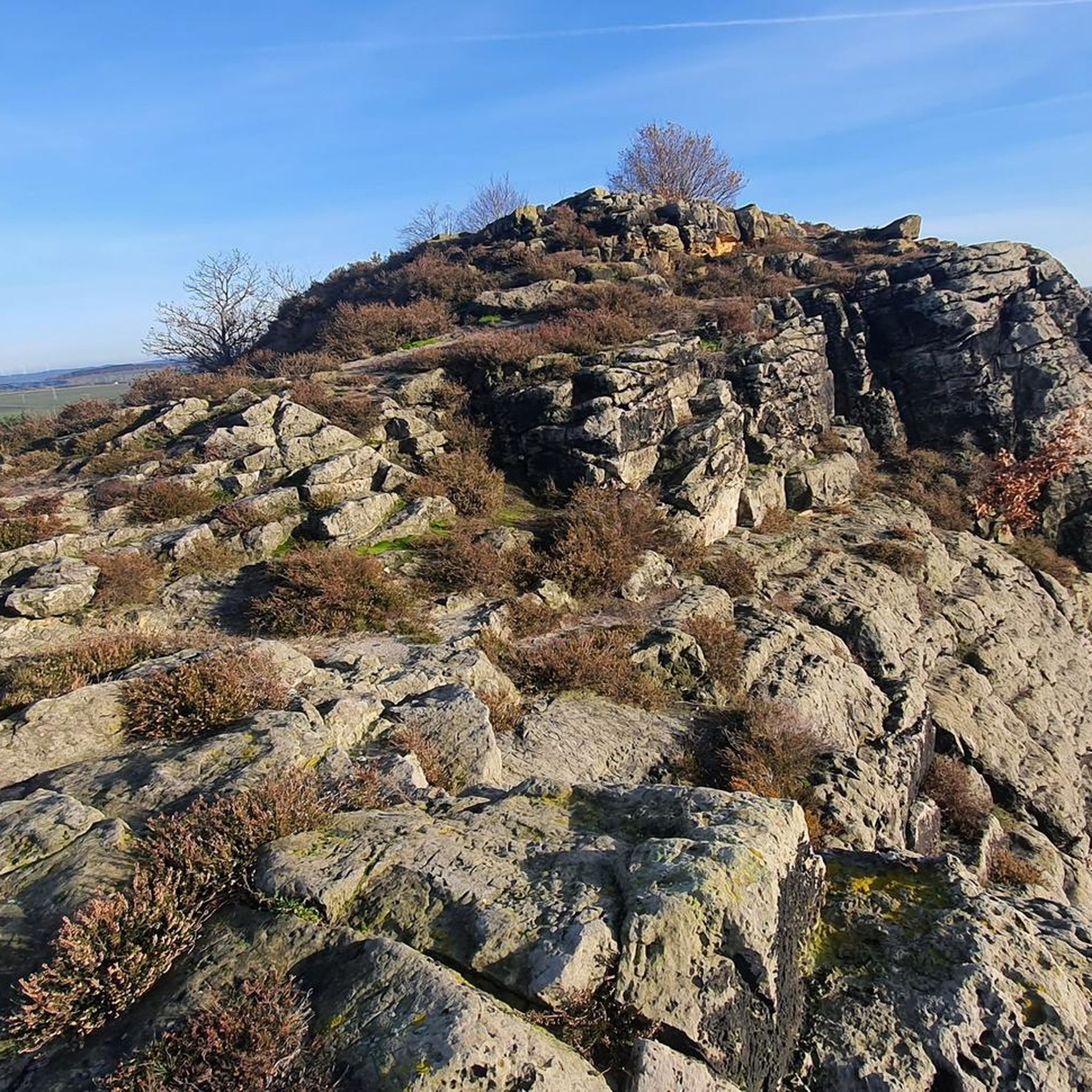
Mountaineering routes around Harsleben are situated in the northern foothills of the Harz mountains, characterized by a landscape of distinctive rock formations, dense woodlands, and river valleys. The region features prominent geological structures like the Teufelsmauer (Devil's Wall) and Großvaterfelsen, offering varied terrain for ascents and traverses. Elevations are generally moderate, with routes navigating through forested areas and along exposed ridges. This area provides opportunities for exploring natural rock outcrops and scenic viewpoints.
Best mountaineering routes around Harsleben
- The most…
Last updated: July 4, 2026
5.0
(11)
49
hikers
7.26km
02:16
150m
150m
Hard mountaineering route. Good fitness required. Sure-footedness, sturdy shoes and alpine experience required.
5.0
(9)
36
hikers
7.81km
02:15
110m
110m
Hard mountaineering route. Good fitness required. Sure-footedness, sturdy shoes and alpine experience required.

Sign up for free
5.0
(2)
7
hikers
5.68km
01:47
150m
150m
Hard mountaineering route. Great for any fitness level. Sure-footedness, sturdy shoes and alpine experience required.
5.0
(1)
4
hikers
Hard mountaineering route. Great for any fitness level. Sure-footedness, sturdy shoes and alpine experience required.
Easy mountaineering route. Great for any fitness level. Easily-accessible paths. Suitable for all skill levels.
Our route recommendations are based on thousands of hikes, rides, and runs completed by other people on komoot.
Start today with a free account
Your next adventure awaits.
Login or Signup
Tips from the Community

The castle is situated opposite on a mountain and is a real eye-catcher.
1
0

You can climb up the steps at the back.
3
0

A nice starting point for Blankenburg, this approximately 4 km trail runs along the Devil's Wall. The trail occasionally crosses rocks, so sturdy footwear is recommended.
0
0
Just a few minutes from Timmenrode. Very easy to reach for all ages. Very beautiful view where you can linger.
0
0
Great trail, short distance but a bit challenging in some places
0
0
Also serves as a shelter in the rain, in a short distance there is also a rest area that can be used as a shelter
0
0
Very nice trail to the Hamburg coat of arms
0
0
A beautiful section along the Devil's Wall. Great views and pure nature. Sturdy footwear is required; some sections are very rocky.
0
0
Frequently Asked Questions
What kind of terrain can I expect on mountaineering routes around Harsleben?
The mountaineering routes around Harsleben are characterized by the northern foothills of the Harz mountains, featuring distinctive rock formations like the Teufelsmauer (Devil's Wall) and Großvaterfelsen. You'll navigate through dense woodlands and along river valleys, with generally moderate elevations and opportunities to explore natural rock outcrops and scenic viewpoints.
Are there any easy mountaineering routes suitable for beginners or families in Harsleben?
Yes, there is at least one easy mountaineering route available. For a less strenuous option, consider the Devil's Wall Trail – Bode River view loop from Teufelsmauer und Bode nordöstlich Thale. This 4.2-mile (6.7 km) trail leads through unique rock formations and offers scenic river views, typically completed in under two hours.
What are some of the more challenging mountaineering routes in the Harsleben area?
For those seeking a challenge, Harsleben offers several difficult routes. The Rittertreppe From Below – Großvaterfelsen loop from Timmenrode is a demanding 6.7-mile (10.7 km) trail exploring prominent rock formations. Another difficult option is the Teufelsmauer Ridge Trail – Ascent to Grandfather Rock loop from Blankenburg (Harz), which traverses a distinctive ridge with varied landscapes.
Are there any circular mountaineering routes around Harsleben?
Yes, all the mountaineering routes listed for Harsleben are circular. This includes popular options like the Rittertreppe From Below – Großvaterfelsen loop from Timmenrode and the Devil's Wall Trail – Bode River view loop from Teufelsmauer und Bode nordöstlich Thale, allowing you to start and end at the same point.
What interesting natural landmarks or attractions can I see along the mountaineering routes?
The routes often pass by significant natural landmarks. You can explore the distinctive rock formations of the Großvaterfelsen and the Hamburger Wappen (Devil's Wall). The Devil's Wall Trail – Bode River view loop offers scenic views of the Bode River.
Are there any historical sites or points of interest near the mountaineering trails?
Beyond natural formations, you might encounter historical points of interest. For example, the Regenstein Mill (HWN 82) is a notable historical site in the vicinity. Some routes also offer views, such as the View of Quedlinburg’s Castle Hill.
What do other mountaineers say about the routes in Harsleben?
The mountaineering routes in Harsleben are highly regarded by the komoot community, holding an average score of 5.0 stars from over 17 reviews. Many mountaineers praise the unique rock formations and varied landscapes, with over 85 visitors having explored the area using komoot.
Is there parking available near the trailheads for mountaineering routes in Harsleben?
While specific parking details for each trailhead are best checked on individual route pages, routes often start from towns like Timmenrode or Blankenburg (Harz), where public parking facilities are generally available. It's advisable to check the starting point of your chosen route for precise parking information.
What is the best time of year to go mountaineering in Harsleben?
The region's moderate elevations and varied terrain make it suitable for mountaineering across multiple seasons. Spring and autumn offer pleasant temperatures and vibrant scenery, while summer provides longer daylight hours. Winter mountaineering is possible, but conditions can vary, especially on exposed ridges and rock formations, so always check local weather forecasts.
Are dogs allowed on the mountaineering routes around Harsleben?
Generally, dogs are welcome on public trails in Germany, including many mountaineering routes. However, it's always recommended to keep dogs on a leash, especially in nature reserves, near wildlife, or in areas with livestock. Check specific signage at trailheads for any local restrictions.
Are there any cafes or places to eat near the mountaineering trails in Harsleben?
The routes often start or pass near towns such as Timmenrode and Blankenburg (Harz), which offer various amenities including cafes, restaurants, and shops where you can refuel before or after your mountaineering adventure. It's a good idea to plan your route to include a stop in one of these villages.
What is the typical elevation gain on mountaineering routes in Harsleben?
The elevations in the Harsleben region are generally moderate. For example, routes like the Rittertreppe From Below – Großvaterfelsen loop from Timmenrode involve an elevation gain of around 217 meters, while the Devil's Wall Trail – Bode River view loop has a more gentle ascent of about 71 meters.
Most popular routes around Harsleben
Most popular attractions around Harsleben

Get inspired with the komoot mobile app


Explore more
Browse the best Mountain Hikes & Routes in other regions.
