The best running trails around Gumond
4.0
(3)
132
runners
23
runs
Jogging around Gumond offers routes that explore the region's varied terrain, characterized by lakes and dam areas. The landscape features undulating paths suitable for different fitness levels. While specific prominent natural features are not extensively documented, the available running routes suggest a focus on water bodies and surrounding areas. This provides opportunities for outdoor activity within a generally accessible environment.
Best jogging routes around Gumond
- The most popular jogging route is Étang de la Prade loop from Clergoux, a…
Last updated: July 1, 2026
13
runners
7.80km
00:54
80m
80m
Moderate run. Good fitness required. Mostly paved surfaces. Suitable for all skill levels.
11
runners
16.0km
01:53
190m
190m
Hard run. Very good fitness required. Mostly paved surfaces. Suitable for all skill levels.

Sign up for free
8
runners
11.5km
01:22
180m
180m
Moderate run. Good fitness required. Mostly paved surfaces. Suitable for all skill levels.
4.0
(2)
8
runners
7.52km
00:51
170m
160m
Moderate run. Good fitness required. Mostly paved surfaces. Suitable for all skill levels.
6
runners
11.8km
01:22
210m
210m
Moderate run. Good fitness required. Mostly paved surfaces. Suitable for all skill levels.
Get access to more routes and recommendations from other explorers.
Sign up for free
Already have an account?
Our route recommendations are based on thousands of hikes, rides, and runs completed by other people on komoot.
Start today with a free account
Your next adventure awaits.
Login or Signup




Tips from the Community

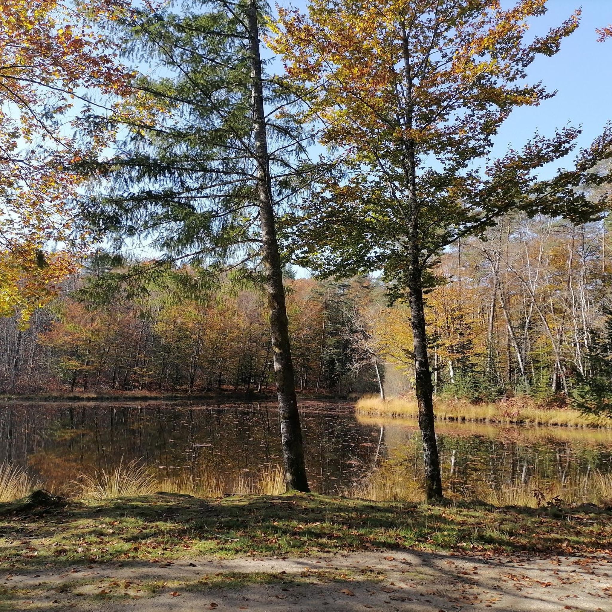
Nice dam near Saint Pradoux with a view of the artificial lake. It was created by the construction in 1949 of the Valette dam located in the town of St Pardoux-la-Croisille on the river Doustre.
1
0
Really a great place to run or hike! Beautiful paths in perfect condition and a superb view of the Sancy massif, and the ponds on the other side.
0
0
Frequently Asked Questions
How many running routes are available around Gumond?
There are over 20 running routes available around Gumond, offering a variety of options for different fitness levels. The komoot community has explored these trails more than 100 times.
What kind of terrain can I expect on running trails in Gumond?
The running trails around Gumond are characterized by varied, undulating terrain, often exploring areas around lakes and dams. You'll find paths suitable for different fitness levels, from moderate to more challenging routes with significant elevation changes.
Are there running routes suitable for beginners in Gumond?
Yes, there is at least one easy running route available in Gumond, perfect for beginners or those looking for a less strenuous run. Most routes are moderate, offering a good balance for various abilities.
What do other runners say about the routes in Gumond?
The running routes in Gumond are generally well-regarded by the komoot community, with an average rating of 3.5 stars from 2 reviews. Runners often appreciate the varied terrain and the focus on water bodies and surrounding areas.
Are there any circular running routes in Gumond?
Many of the running routes around Gumond are circular, offering convenient loop options. For example, the Étang de la Prade loop from Clergoux is a popular 4.8-mile (7.8 km) trail that circles a lake.
Can I find routes that feature viewpoints or scenic spots?
Yes, some routes offer scenic viewpoints. The Viewpoint loop from Château de Sedières is a challenging 9.9-mile (16.0 km) path that includes a viewpoint and passes a historic château. You can also find the Chastang Dam and Roc du Busatier Viewpoint nearby.
Are there running routes that pass by water bodies like lakes or dams?
Absolutely. The region around Gumond is characterized by its lakes and dam areas. Popular routes include the Étang de la Prade loop from Clergoux and the Saint Pardoux dam loop from Barrage de la Valette, which takes you around the Saint Pardoux dam.
What interesting sights can I see near the running trails in Gumond?
Beyond the natural scenery, you can explore several interesting sights. The Viewpoint loop from Château de Sedières passes by a historic château. Other nearby attractions include the Chastang Dam, Saint Pardoux dam, and Les Jardins de Bardot.
Are there any historical landmarks accessible from the running routes?
Yes, the region has historical elements. The Viewpoint loop from Château de Sedières specifically passes a historic château. While not directly on a running route, the broader Gumond area is known for historic buildings like Castle de Sedieres and Les Tours de Merle.
What is the average length of running routes in Gumond?
The running routes in Gumond vary in length, but many fall within the moderate range. For instance, the Étang de la Prade loop from Clergoux is 4.8 miles (7.8 km), and the Lake View loop from Marcillac-la-Croisille is 5.1 miles (8.2 km).
Are there longer running options for experienced runners in Gumond?
Yes, for experienced runners seeking a challenge, there are difficult routes available. The Viewpoint loop from Château de Sedières is a demanding 9.9-mile (16.0 km) path with significant elevation gain, perfect for a longer workout.
Most popular attractions around Gumond

Get inspired with the komoot mobile app


Explore more
Browse the best Running Trails & Routes in other regions.
