The best running trails around Hohenberg-Krusemark
4.5
(65)
859
runners
81
runs
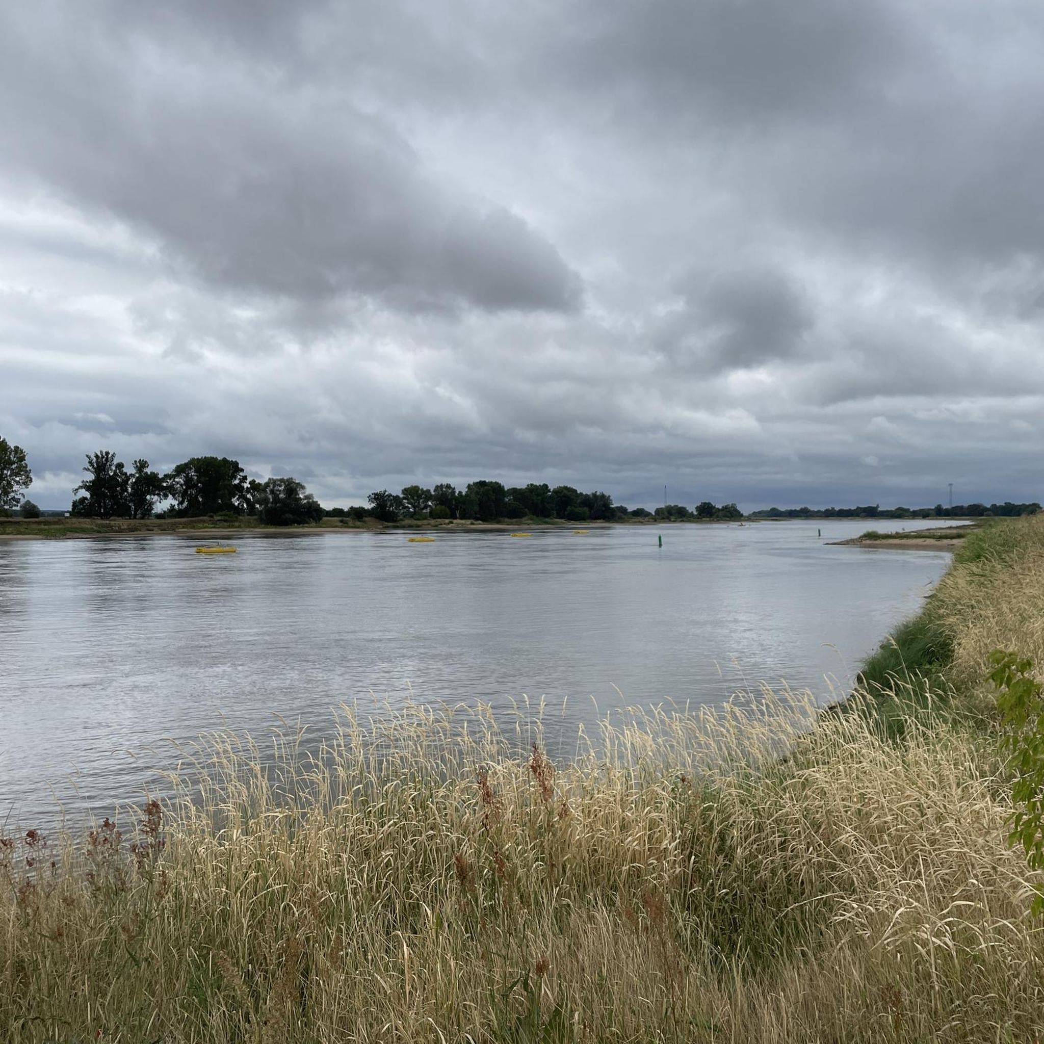
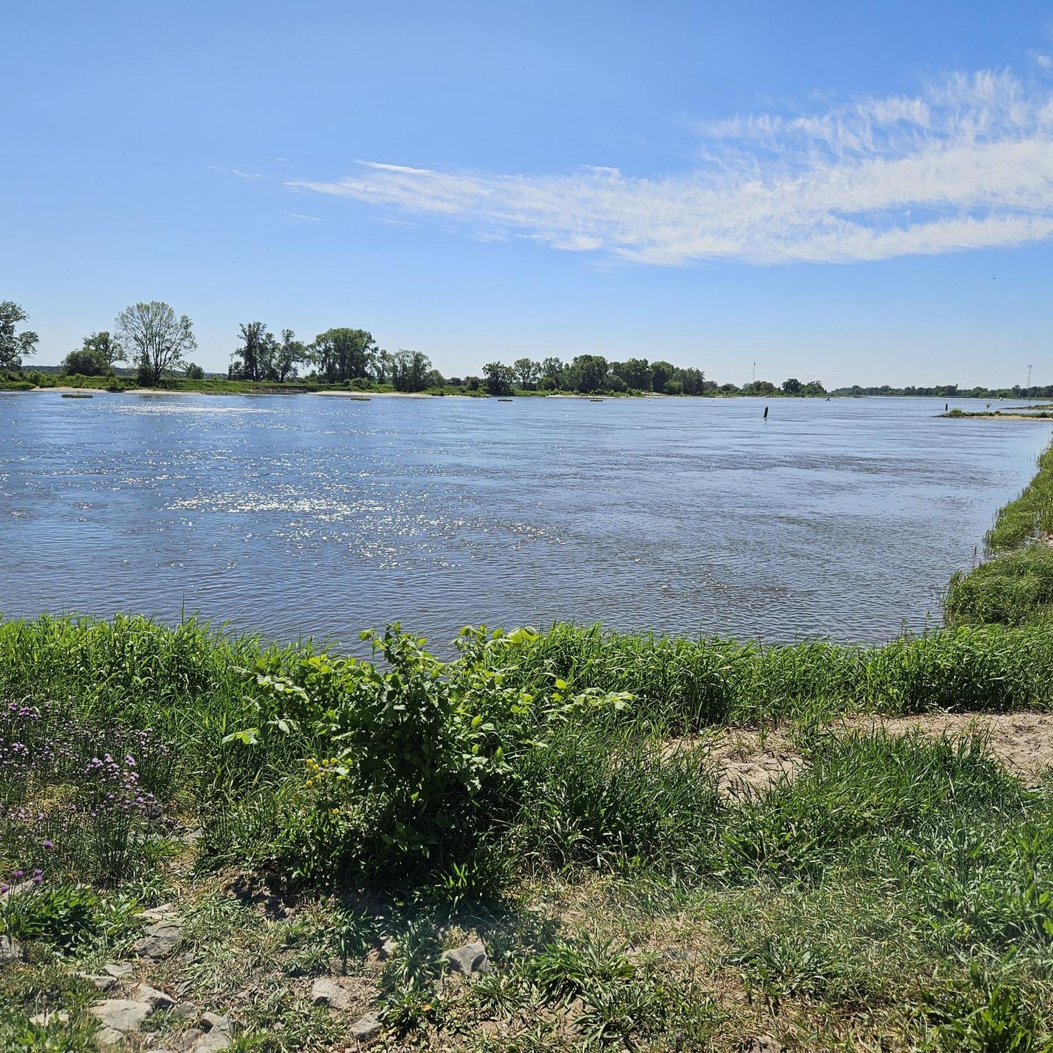
Jogging routes around Hohenberg-Krusemark are primarily situated within the scenic Elbe River landscape, offering a diverse natural environment for runners. The region is characterized by extensive networks of trails that traverse floodplain forests, marshlands, and open fields. Terrain is generally flat, making it accessible for sustained runs and providing views across the Elbe Valley.
Best jogging routes around Hohenberg-Krusemark
- The most popular jogging route is Running loop from Sandau (Elbe), a 4.4 miles (7.1 km) trail that takes about 44 minutes to complete, offering views of the Elbe River.
- Another top favourite among local runners is Havelberg Harbour – Havelberg Town Hall loop from Havelberg, a moderate 7.6 miles (12.3 km) path. This route explores the historic town of Havelberg and its surroundings, providing varied scenery.
- Local runners also love the Running loop from Arneburg, a 3.9 miles (6.3 km) trail leading through riparian forests and open landscapes, often completed in about 43 minutes.
- Jogging around Hohenberg-Krusemark is defined by the Elbe River landscape, floodplain forests, and open fields. The network offers options for easy, moderate, and difficult running routes, catering to various ability levels.
- The routes in Hohenberg-Krusemark are highly rated by the komoot community with an average score of 4.6 stars from over 40 reviews. More than 700 runners have used komoot to explore Hohenberg-Krusemark's varied terrain.
Last updated: October 1, 2026
42
runners
7.05km
00:44
10m
10m
Moderate run. Good fitness required. Mostly paved surfaces. Suitable for all skill levels.
15
runners
12.3km
01:19
50m
50m
Moderate run. Good fitness required. Mostly paved surfaces. Suitable for all skill levels.

13
runners
6.32km
00:43
30m
30m
Moderate run. Good fitness required. Mostly paved surfaces. Suitable for all skill levels.
5.0
(1)
7
runners
Moderate run. Good fitness required. Mostly paved surfaces. Suitable for all skill levels.
3.0
(1)
7
runners
10.3km
01:14
80m
80m
Moderate run. Good fitness required. Mostly paved surfaces. Suitable for all skill levels.
Get access to more routes and recommendations from other explorers.
Already have an account?
Our route recommendations are based on thousands of hikes, rides, and runs completed by other people on komoot.
Start today with a free account
Your next adventure awaits.
Other adventures around Hohenberg-Krusemark

Tips from the Community

The bike path is preferable, mainly due to the traffic from the road. The asphalt is completely rideable with the RR.
0
0

The water tower is located in Havelberg's cathedral district and can be reached from the cathedral in just a few minutes on foot. It was built from red bricks in 1890 and rebuilt in 1933. Above the entrance, in addition to these dates, you can find Havelberg's coat of arms. Since the entry into force of the Saxony-Anhalt Monument Protection Act on October 21, 1991, it has been officially registered as a cultural monument. Originally, the tower served as a water reservoir for the city. In the early 2000s, the water supply was converted to deep wells and pumping systems, which led to the reservoir being taken out of service. Today, a restaurant (tower café and bistro) is located directly next to the tower, while the tower itself is no longer used for any functional purpose.
0
0

Anyone cycling through Havelberg should let go of the handlebars, take a deep breath, and let their gaze drift. Havelberg Harbor is a kind of box seat overlooking the quiet spectacle of the boats, the glittering Havel, and the lively comings and goings on a small body of water. It's a lovely place to stroll along – along the shore, which is more promenade than quay, more invitation than infrastructure. Not only boats dock here, but also thoughts. And if you're hungry – be it for a fish sandwich, ice cream, or information – you'll find what you're looking for: restaurants and the tourist information office are right next door, accessible without a nautical license. Across the street, on the island, the campsite beckons. If you dare, simply stay overnight. Because what is already beautiful during the day becomes almost kitsch in the twilight: the view of the water, the scent of linden trees, the fluttering of a flag on the mast. And somewhere a rooster crows, even though it's long past evening. A place to linger—for a break or an entire chapter. Havelberg, in fact.
0
0

The old cathedral cemetery in Havelberg was established in 1788 outside the Havelberg cathedral district and was forgotten over the years until it was rediscovered for the 2015 Federal Garden Show (BUGA). Since then, the cemetery has been maintained and used as a tranquil park, inviting visitors to stroll. The Havelberg Local History Society maintains the cemetery's condition and regularly carries out maintenance work. In 2015, 70 gravestones were erected as part of the "Grave Design and Monument" exhibition.
0
0
The Flethe is also known as the site where the Burggrafenstein was found, a monument inaugurated on December 17, 1912, to commemorate the 500th anniversary of the entry of Burgrave Friedrich of Nuremberg.
0
0

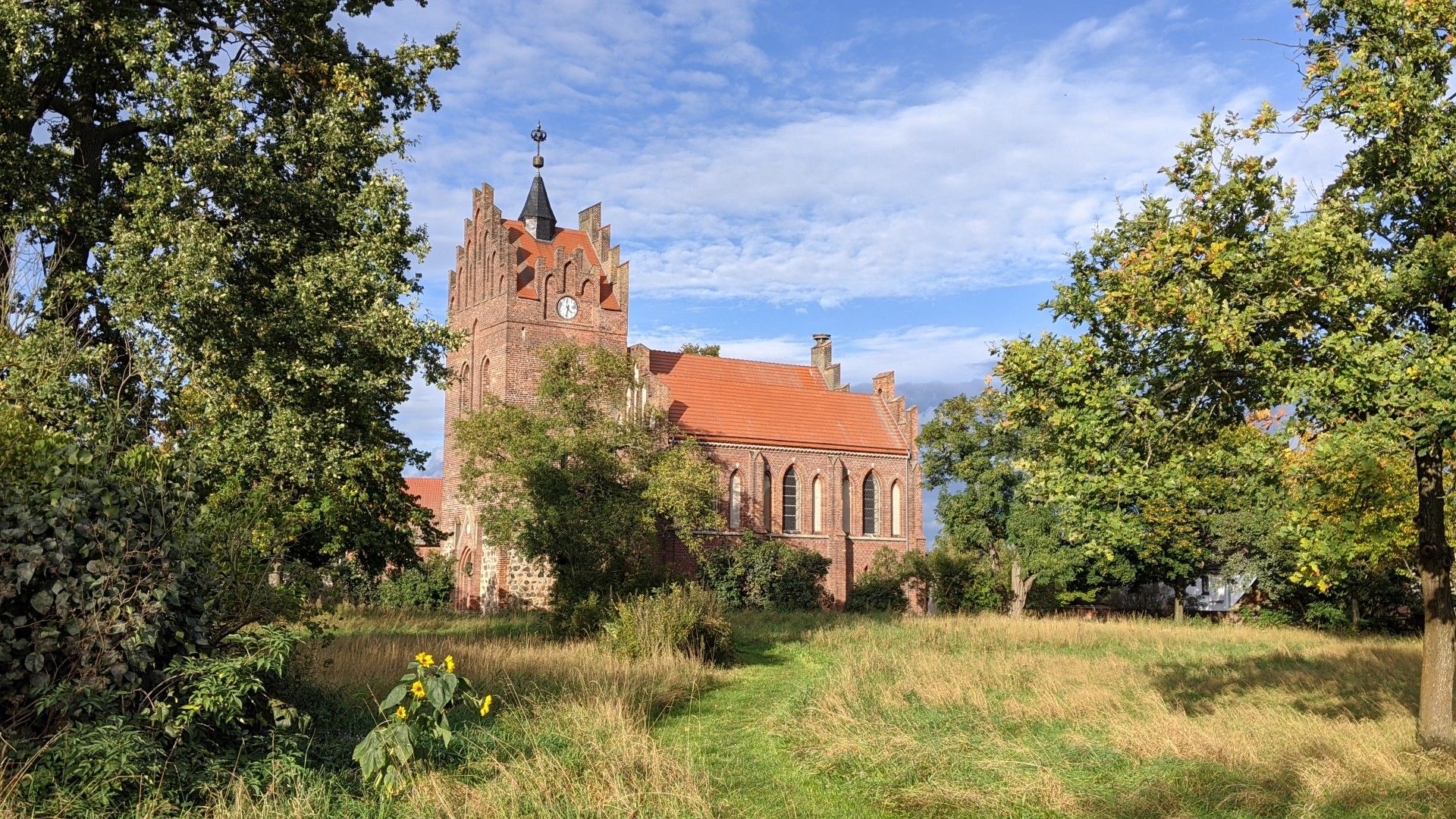
The association "Friends and Supporters of the Reconstruction of the Sandauer Church e.V." takes care of St. Laurentius / St. Nikolaus on a voluntary basis. During our visit, we received a lot of clear information about the project first hand, as well as coffee and biscuits, and even tips for continuing the journey by bike. More information about the association: https://kirchturm-sandau.de/
0
0

A very beautiful old building
3
1

A beautiful church with a great view
0
0
Frequently Asked Questions
How many running routes are available around Hohenberg-Krusemark?
There are over 85 running routes available in the Hohenberg-Krusemark area, catering to various preferences and fitness levels. These include a mix of easy, moderate, and more challenging trails.
What kind of terrain can I expect on the running trails in Hohenberg-Krusemark?
The running trails around Hohenberg-Krusemark are primarily situated within the scenic Elbe River landscape. You can expect generally flat terrain, traversing floodplain forests, marshlands, and open fields. Many routes offer picturesque views across the Elbe Valley.
Are there running routes suitable for beginners or those looking for an easy jog?
Yes, the Hohenberg-Krusemark region offers a good selection of easy running routes. There are 11 routes specifically categorized as easy, making them perfect for beginners or those seeking a relaxed run through the natural landscape.
What do other runners say about the trails in Hohenberg-Krusemark?
The running routes in Hohenberg-Krusemark are highly rated by the komoot community, with an average score of 4.6 stars from over 40 reviews. Runners often praise the diverse natural environment, the peaceful Elbe River landscape, and the well-maintained paths suitable for sustained runs.
Are there any scenic landmarks or natural attractions I can see while running?
Absolutely! The region boasts several natural monuments and lakes that can enhance your running experience. You might pass by highlights such as the Cycle Path between the Elbe and the Havel, the Carl Eduard Heinrich Memorial Park, or the Historic Havel River Mouth. Additionally, you could encounter beautiful lakes like Kiessee Wischer or Lake Kamern.
Can I find running routes that are circular?
Yes, many of the running routes in the Hohenberg-Krusemark area are designed as loops, allowing you to start and finish at the same point. For example, the Running loop from Sandau (Elbe) is a popular circular option, as is the Running loop from Arneburg.
Are the running trails around Hohenberg-Krusemark suitable for families?
Given the generally flat terrain and the presence of numerous easy and moderate routes, many trails in the Hohenberg-Krusemark area are suitable for families. The natural environment, with its forests and open fields, provides a pleasant setting for outdoor activities with children.
Are dogs allowed on the running trails in the Hohenberg-Krusemark area?
While specific regulations can vary, generally, dogs are welcome on most public trails in the Hohenberg-Krusemark region, especially those traversing natural landscapes like the Elbe River floodplains. It's always recommended to keep dogs on a leash and clean up after them to ensure a pleasant experience for everyone.
What are the typical distances and durations for running routes in this region?
Running routes in Hohenberg-Krusemark vary in length and duration. You can find shorter loops like the Running loop from Arneburg, which is about 3.9 miles (6.3 km) and takes around 43 minutes. Longer options, such as the Havelberg Harbour – Havelberg Town Hall loop from Havelberg, cover about 7.6 miles (12.3 km) and can take over an hour.
How can I access the running trails around Hohenberg-Krusemark by public transport or car?
Many trails in the Hohenberg-Krusemark region are accessible by car, with parking often available near trailheads or in nearby towns. For public transport, regional bus connections can link Hohenberg-Krusemark to surrounding areas, providing access points to the extensive network of trails along the Elbe River. The Arneburg Ferry also offers a unique way to access different sections of the river's paths.
Are there any less crowded running trails in Hohenberg-Krusemark?
The extensive network of trails through floodplain forests, marshlands, and open fields means you can often find quieter paths away from more popular spots. Exploring routes slightly further from main towns or during off-peak hours can lead to a more solitary running experience amidst nature.
What are some notable natural features to look out for while running?
The region is rich in natural beauty. Keep an eye out for the extensive reed beds, open water surfaces, and small riparian forests, especially in areas like the 'Alte Elbe Zwischen Kannenberg Und Berge'. The Elbe River itself is a constant scenic companion, offering views across its valley and surrounding forests.
Most popular attractions around Hohenberg-Krusemark

Get inspired with the komoot mobile app


Explore more
Browse the best Running Trails & Routes in other regions.
