The best walks and hikes around Champsevraine
4.5
(30)
125
hikers
10
hikes
Hiking trails around Champsevraine offer diverse natural landscapes, characterized by extensive wooded areas and a tranquil rural setting in the Haute-Marne department of France. The region features varied terrain with elevations ranging from 250 to 385 meters, providing gentle ascents and descents. Hikers can explore picturesque countryside scenery, including paths that cross the Suane River and offer views of Liez Lake and the historic town of Langres.
Best hiking trails in Champsevraine
- The most popular hiking route is Place Jeanne…
Last updated: July 4, 2026
4.6
(5)
29
hikers
28.0km
07:25
270m
270m
Hard hike. Very good fitness required. Easily-accessible paths. Suitable for all skill levels.
4.2
(6)
16
hikers
Easy hike. Great for any fitness level. Easily-accessible paths. Suitable for all skill levels.

Sign up for free
2
hikers
8.86km
02:21
90m
90m
Moderate hike. Good fitness required. Easily-accessible paths. Suitable for all skill levels.
3
hikers
10.0km
02:47
180m
180m
Moderate hike. Good fitness required. Easily-accessible paths. Suitable for all skill levels.
2
hikers
13.5km
03:33
120m
120m
Moderate hike. Good fitness required. Easily-accessible paths. Suitable for all skill levels.
Get access to more routes and recommendations from other explorers.
Sign up for free
Already have an account?
Our route recommendations are based on thousands of hikes, rides, and runs completed by other people on komoot.
Start today with a free account
Your next adventure awaits.
Login or Signup


Tips from the Community

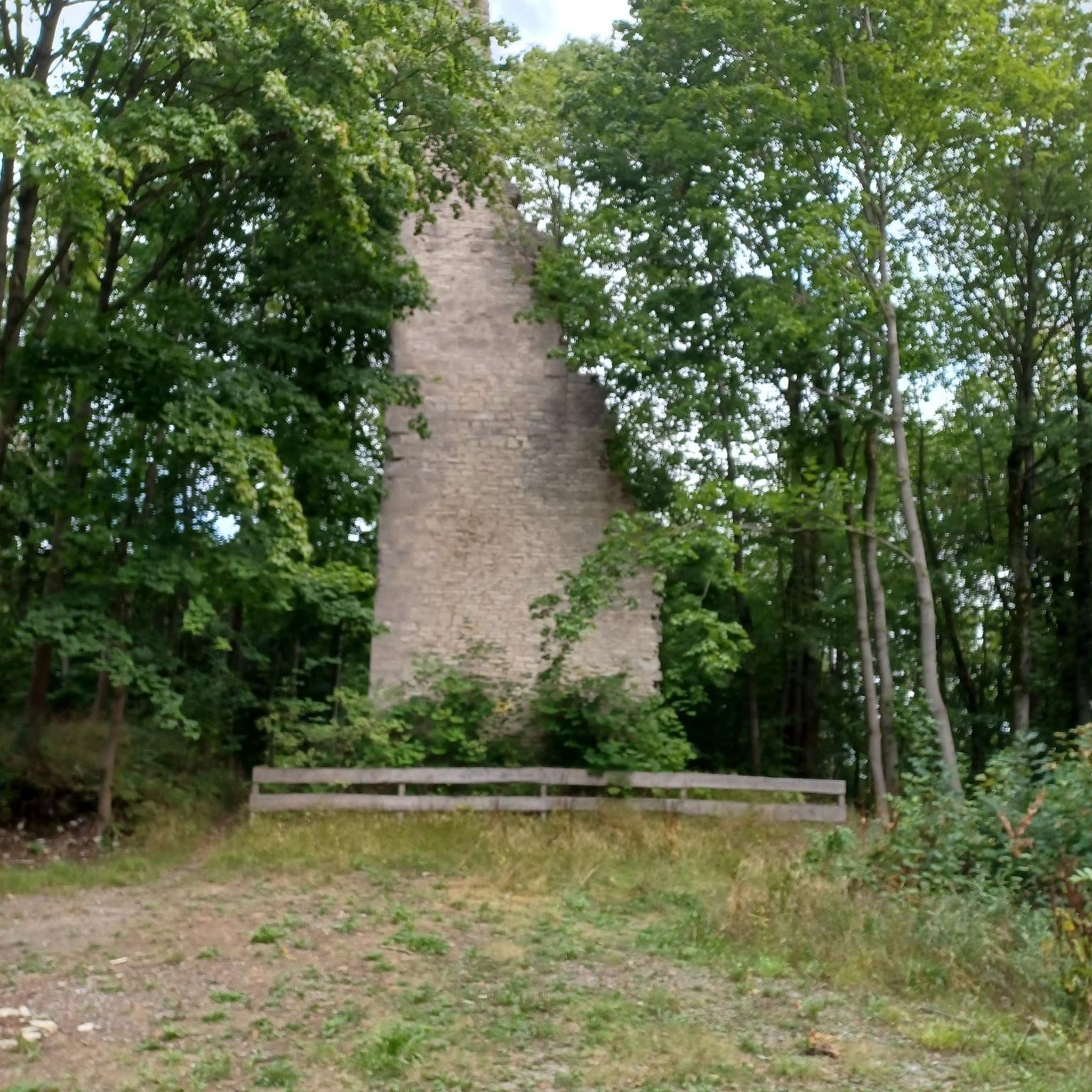
In 1616, Bishop Sébastien Zamet commissioned the Oratorians with the direction of his seminary and the training of the priests of his diocese. The prelate provided the newcomers with the land and buildings of the former priory of Saint-Amâtre to the south of his city. The chapel, however, was not built until 1676.
2
0


This is the cathedral of Langres.
1
0

Imposing cathedral of a small town steeped in history! Worth seeing from the outside and inside
1
0

About halfway along, at a cowshed in the meadow, the road runs differently than on the map, but eventually you get back on the route
0
0

Leaving the Bouchot Woods, the path crosses the Suane River and then opens onto a rural setting. You can enjoy the refreshing shade of the trees during the afternoon.
0
0

Langres Cathedral is dedicated to the 3rd century martyr Mammes of Caesarea. The cathedral is the seat of the Bishop of Langres and is a national monument. The cathedral dates from the 12th century and has a mixture of Romanesque, Gothic and Classical styles. The roof is decorated with colourful tiles and the façade has many details. The cathedral has some remarkable tapestries that are worth seeing. The cathedral is also a place of pilgrimage, as it houses the holy relic of the head of Saint Mammes. The cathedral is 94m long and 23m high. The façade was destroyed by fire and replaced in the 18th century by a three-storey classical façade.
3
0

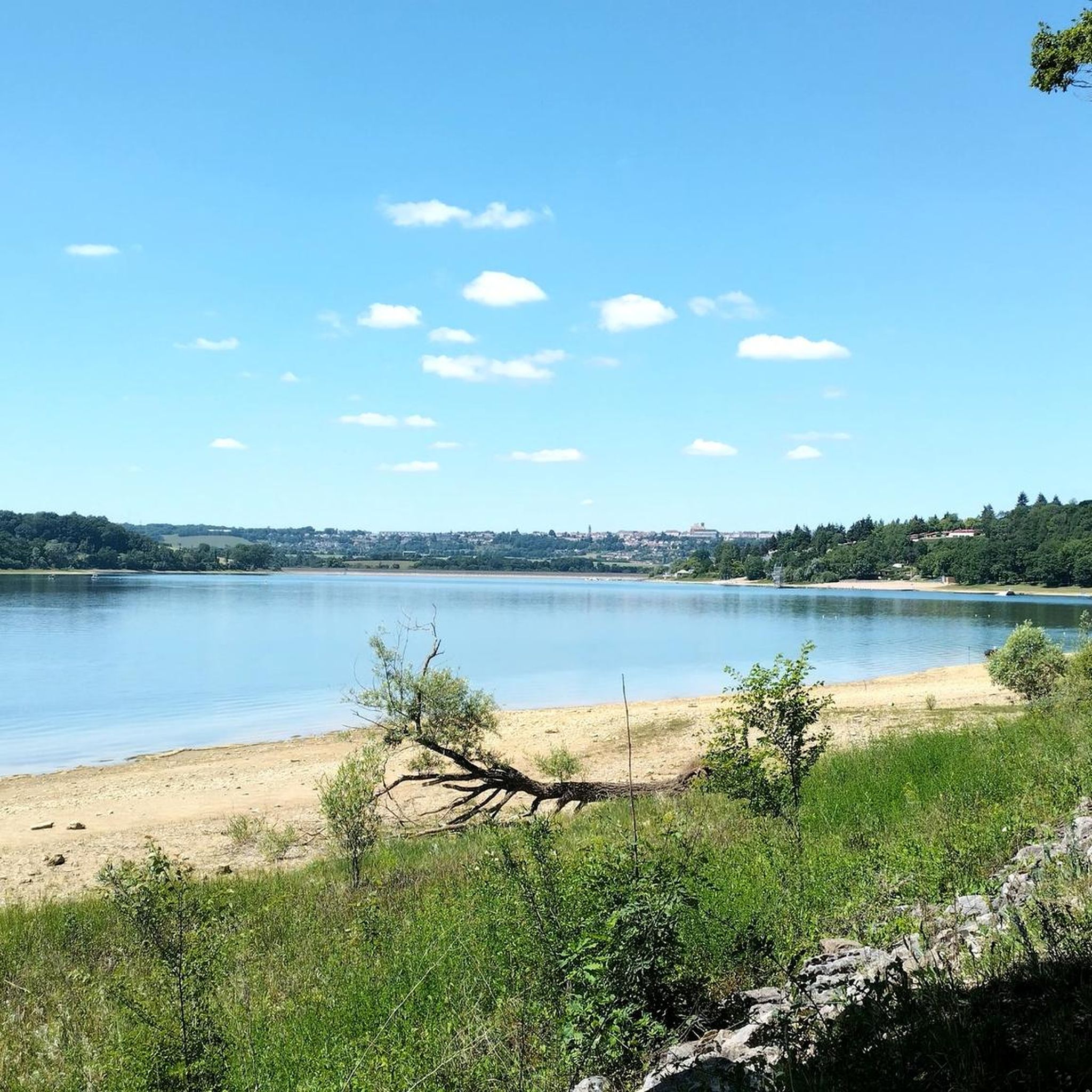
Originally, Lake Liez was called “Lecey dyke”. This is linked to the digging of the Marne-Saône canal. The Liez dam is 490 meters long and 16 meters high. It is the largest of the four feeding lakes of the upper reach of the canal between Champagne and Burgundy.
1
0
Frequently Asked Questions
How many hiking trails are there around Champsevraine?
There are over 10 hiking trails around Champsevraine, offering a range of experiences from easy strolls to more challenging full-day adventures. The routes are highly rated by the komoot community, with an average score of 4.6 stars.
What kind of difficulty levels can I expect on the trails in Champsevraine?
Champsevraine offers a good mix of hiking difficulties. You'll find 1 easy trail perfect for a relaxed outing, 7 moderate routes for those looking for a bit more challenge, and 2 difficult trails for experienced hikers seeking longer, more demanding excursions.
Are there any family-friendly hiking trails suitable for children in Champsevraine?
Yes, for families looking for an easy and enjoyable walk, the Tiny Blue Trailer Campsite – Curious lamas loop from Arbigny-sous-Varennes is an excellent choice. This 3.4-mile (5.4 km) path offers a gentle walk through rural settings and is typically completed in about 1 hour 30 minutes.
What natural landscapes will I encounter while hiking in Champsevraine?
Champsevraine is characterized by its extensive forests, offering shaded paths and opportunities to observe local flora and fauna. Beyond the woodlands, you'll find serene rolling countryside landscapes with a mosaic of fields and pastures, providing open views and a peaceful rural atmosphere.
Are there any circular hiking routes in the area?
Many trails around Champsevraine are designed as loops. For example, the Countryside scenery – Saint-Rémy Church loop from Lecey is a 5.3-mile (8.6 km) circular route that takes you through picturesque rural landscapes and past the Suane River. Another option is the Virgin of Leffond loop from Coublanc, a moderate 6.2-mile (10 km) hike.
What are some notable viewpoints or attractions along the hiking trails?
Hikers can enjoy several interesting sights. The challenging Place Jeanne Mance – Liez Lake Dam loop from Chatenay-Mâcheron offers expansive views towards Liez Lake and the Langres dam. You can also find the Best viewpoint over the Liez and Langres, providing splendid panoramas of the Amance valley up to the Langres plateau. Additionally, the Notre-Dame de Presles Chapel is a point of interest near some routes.
What is the best time of year to go hiking in Champsevraine?
The region is beautiful throughout the warmer months, from spring to autumn, when the forests are lush and the countryside is vibrant. Spring brings blooming wildflowers, while autumn offers stunning foliage. Summer provides pleasant conditions for shaded forest walks. Winter hiking is possible, but conditions can vary, so checking local weather is advisable.
Are there any longer, more challenging hikes for experienced trekkers?
Yes, for those seeking a significant challenge, the Place Jeanne Mance – Liez Lake Dam loop from Chatenay-Mâcheron is a difficult 17.4-mile (28.0 km) trail. It typically takes about 7 hours 25 minutes to complete and offers rewarding views over Liez Lake and the Langres dam.
What historical or cultural sites can I discover while hiking?
Hiking in the region can lead to discoveries of ancient heritage. While not directly on a featured route, the wider area includes villages with historical significance, such as Laferté-sur-Amance with its old rampart path overlooking former vineyards, and Velles with its circular wash house. The nearby Château du Pailly is also an interesting historical landmark.
What do other hikers enjoy most about the trails in Champsevraine?
The komoot community highly rates the trails in Champsevraine, with an average score of 4.6 stars. Hikers frequently praise the tranquil rural settings, the beauty of the wooded landscapes, and the picturesque views, especially those overlooking Liez Lake and the distant town of Langres.
Are there any hikes that follow rivers or offer water views?
Yes, several routes incorporate water features. The Countryside scenery – Saint-Rémy Church loop from Lecey leads through landscapes past the Suane River. Additionally, the challenging Place Jeanne Mance – Liez Lake Dam loop from Chatenay-Mâcheron provides expansive views towards Liez Lake and its dam, highlighting the region's hydrographic significance.
Most popular routes around Champsevraine
Most popular attractions around Champsevraine

Get inspired with the komoot mobile app


Explore more
Browse the best Hikes in other regions.
