The best running trails around Saint-André-De-Valborgne
4.8
(7)
1,922
runners
80
runs
Jogging routes around Saint-André-De-Valborgne are set within the diverse natural environment of the Cévennes mountains, part of the Cévennes National Park. The region is characterized by an alternation of valleys and ridges, with the village itself nestled in the Gardon river valley. This unique geography provides a variety of terrains, from riverside paths to more challenging mountainous trails, including access to the foothills of Mont Aigoual.
Best jogging routes around Saint-André-De-Valborgne
- The most popular jogging route is Bézuc Trail,…
Last updated: July 8, 2026
5
runners
16.3km
02:03
370m
370m
Hard run. Very good fitness required. Mostly paved surfaces. Suitable for all skill levels.
24
runners
14.5km
01:47
420m
420m
Hard run. Very good fitness required. Mostly paved surfaces. Suitable for all skill levels.

Sign up for free
22
runners
13.4km
01:48
550m
550m
Hard run. Very good fitness required. Mostly paved surfaces. Suitable for all skill levels.
6
runners
12.9km
01:36
440m
440m
Hard run. Very good fitness required. Mostly paved surfaces. Suitable for all skill levels.
4
runners
8.15km
01:07
340m
340m
Hard run. Very good fitness required. Mostly paved surfaces. Suitable for all skill levels.
Get access to more routes and recommendations from other explorers.
Sign up for free
Already have an account?
Our route recommendations are based on thousands of hikes, rides, and runs completed by other people on komoot.
Start today with a free account
Your next adventure awaits.
Login or Signup

Tips from the Community


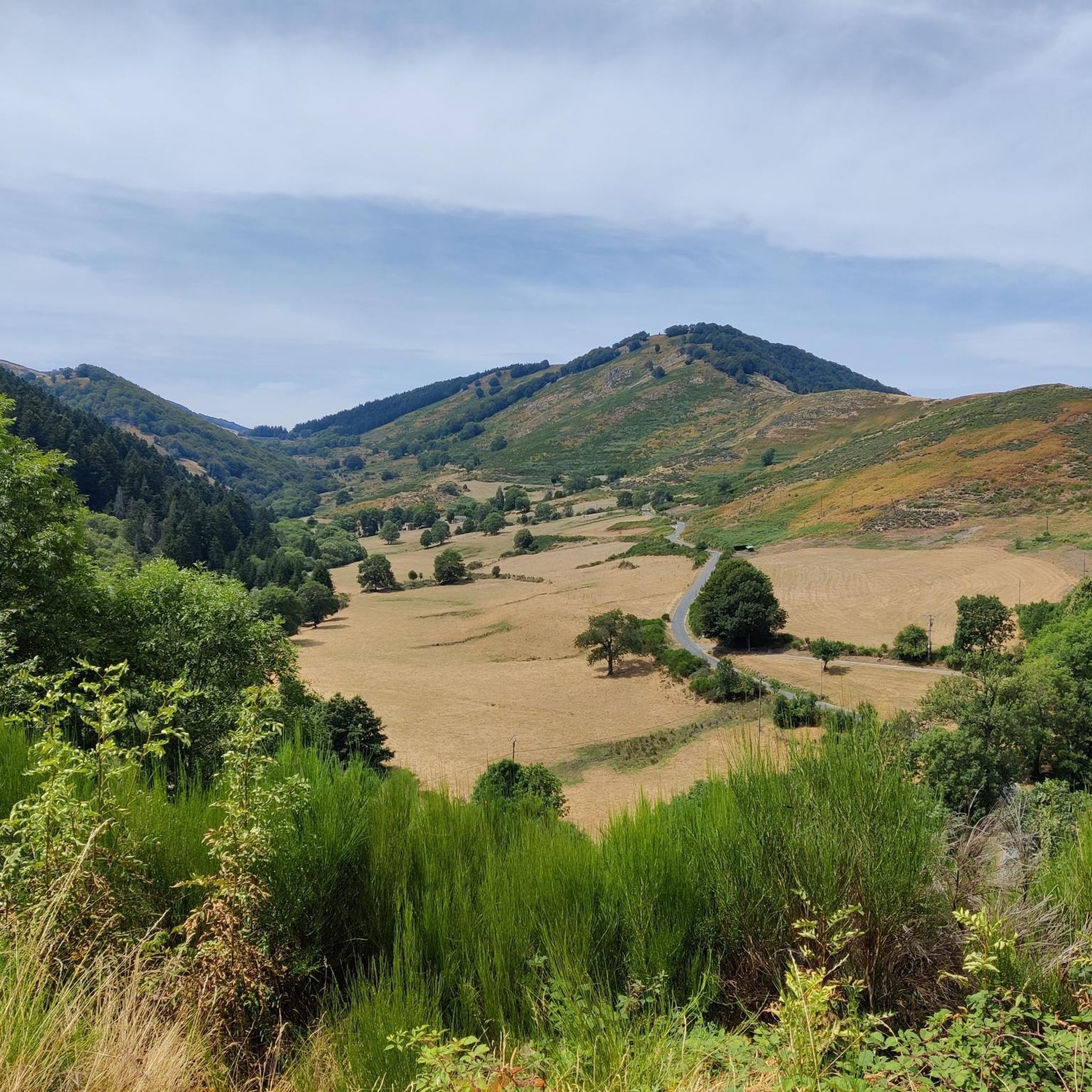
One of the passes on the Corniche des Cévennes - unfortunately the viewpoints up here are overgrown so that the views are no longer ideal...
0
0

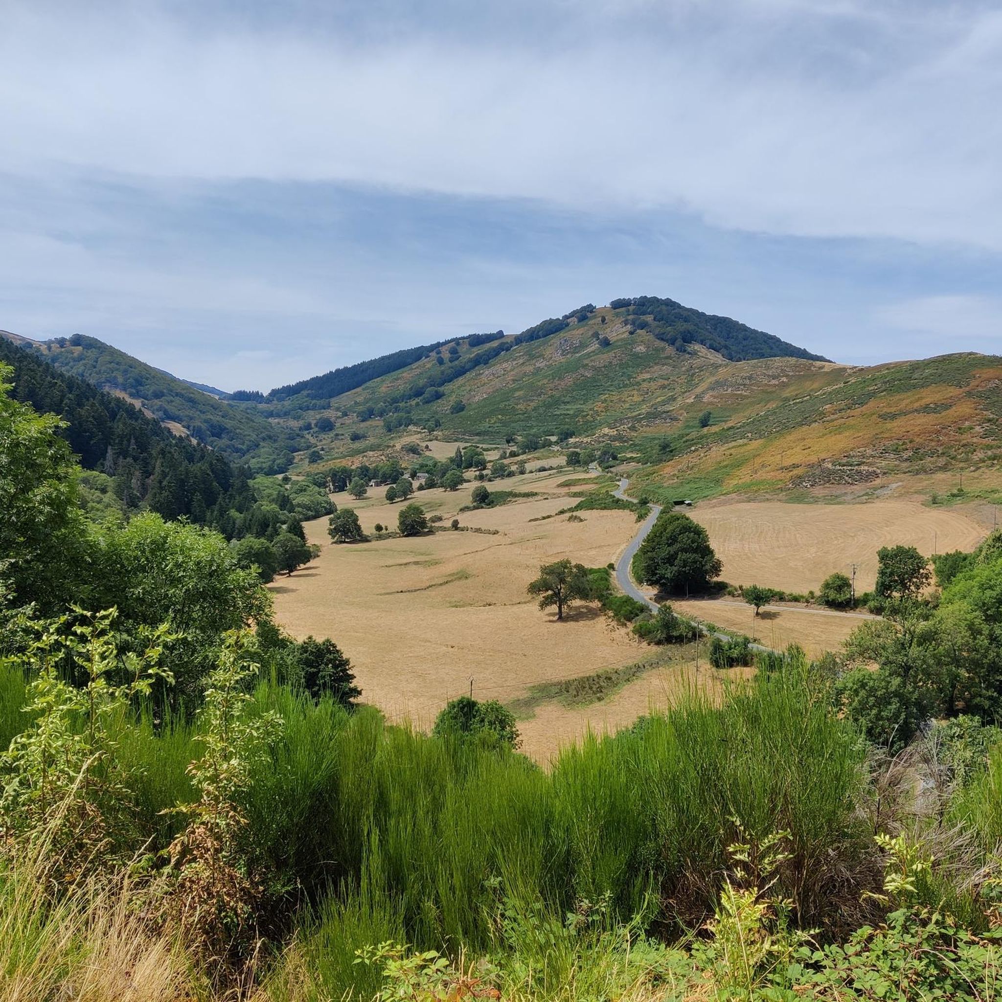
Nice path allowing you to admire the Cévennes while climbing towards the Col de Tartabisac (at an altitude of 843m).
0
0
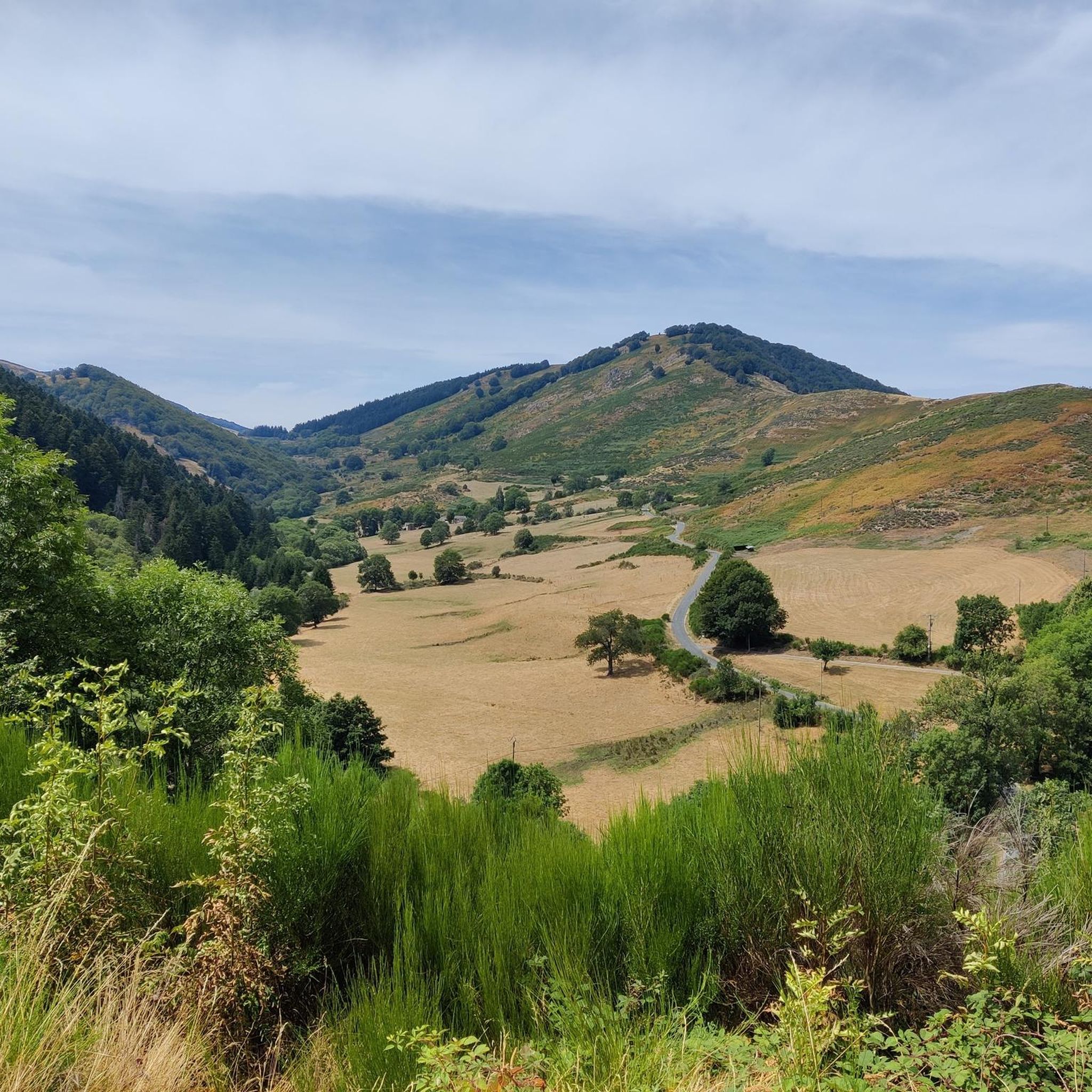
The Can de l'Hospitalet is a plateau separated from the Causse Méjean by the Tarnon. It offers magnificent views of the Cévennes. Its highest point, the Serre de Montgros, culminates at an altitude of 1,111m.
0
0

The Col des Marquises is 11km long with an elevation gain of 522m. The average gradient of the climb is 4.75% with maximum gradients of 6.5%.
1
0

This pass of the Exile of average category, deserves the detour just for the panorama that one has when one climbs it.
1
0

Very nice stop before departure
0
1
Frequently Asked Questions
How many running routes are available around Saint-André-De-Valborgne?
There are over 75 running routes around Saint-André-De-Valborgne, offering a wide variety of options for different skill levels and preferences. The region's diverse terrain, from riverside paths to mountainous trails, ensures there's a suitable route for almost everyone.
What are the general difficulty levels of running trails in this area?
The running trails around Saint-André-De-Valborgne cater to various fitness levels. While there is 1 easy route, the majority are more challenging, with 15 moderate and 60 difficult routes. This reflects the mountainous nature of the Cévennes, offering significant elevation gains for experienced runners.
What do other runners say about the trails in Saint-André-De-Valborgne?
The running routes in Saint-André-De-Valborgne are highly rated by the komoot community, with an average score of 4.4 stars from 8 reviews. Nearly 2000 runners have explored the varied terrain, often praising the stunning natural beauty and the challenge offered by the Cévennes landscape.
Are there any circular running routes in Saint-André-De-Valborgne?
Yes, many of the running routes in the area are circular, allowing you to start and finish at the same point. For example, the difficult Running loop from Le Pompidou and the Marquaires Tunnel – Col Salidès loop from Bassurels are popular circular options, offering immersive experiences through the natural landscapes.
When is the best time of year for running in the Cévennes region?
The Cévennes region, including Saint-André-De-Valborgne, is excellent for running during spring and autumn when temperatures are milder and the natural scenery is vibrant. Summer can be warm, especially in the valleys, but higher altitude routes or early morning runs are still enjoyable. Winter offers a different, often quieter, experience, though some higher trails might be affected by snow or ice.
Are there family-friendly running paths suitable for all ages?
While many routes are challenging, you can find gentler options, particularly along the Gardon river valleys. These riverside paths offer flatter terrain, making them more suitable for families or those looking for an easier jog. Look for routes classified as 'easy' or 'moderate' for more family-friendly experiences.
Can I bring my dog on the running trails?
Many trails in the Cévennes National Park area are dog-friendly, but it's always recommended to keep your dog on a leash, especially in protected areas or near livestock. Be mindful of local regulations and ensure your dog is well-behaved and can handle the terrain and distance of your chosen route.
Are there any running routes that offer scenic viewpoints or landmarks?
Absolutely. The region is rich in natural beauty and historical sites. Many routes offer stunning views of the Cévennes mountains. You might encounter highlights like the Mont Aigoual area, which provides panoramic vistas, or pass by historical elements like the Pont Vieux in Saint-André-De-Valborgne itself. The The 4000 Steps, though challenging, is a notable landmark nearby.
What kind of terrain can I expect on the running routes?
The terrain around Saint-André-De-Valborgne is highly varied. You'll find everything from relatively flat riverside paths along the Gardon river to steep, rocky ascents and descents on mountainous trails. Expect a mix of forest tracks, paved sections, and natural earth paths, often characterized by the schist stone of the Cévennes.
Are there opportunities for wild swimming near the running routes?
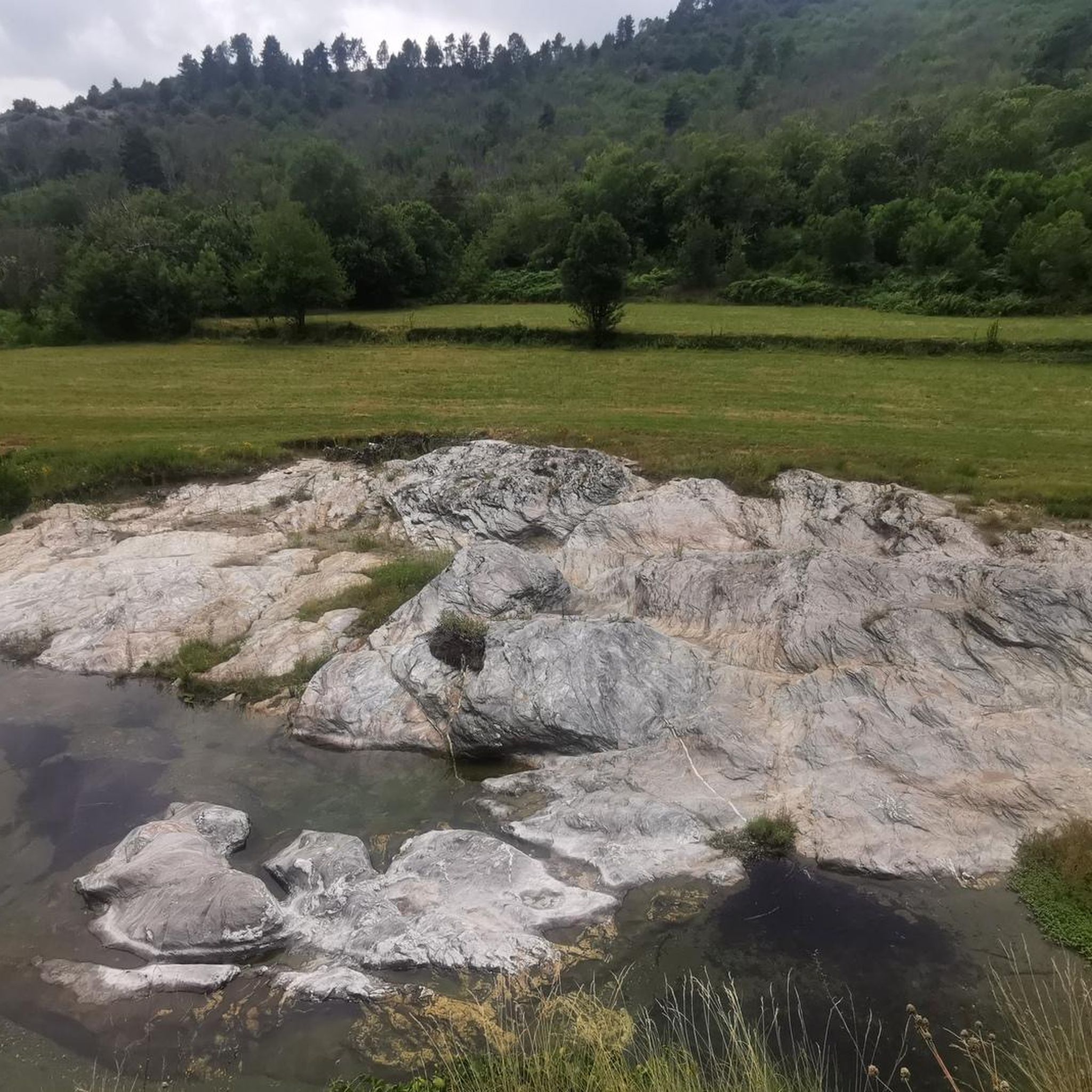
Yes, the Gardon river, which flows through the area, creates natural swimming spots and small natural pools, particularly in the Gorges de Capoue between Saumane and Saint-André-de-Valborgne. These can be a refreshing stop during or after a run, especially on warmer days.
Where can I find parking for the running trails?
Parking is generally available in and around Saint-André-De-Valborgne, as well as at various trailheads throughout the region. Specific parking information can often be found on individual route pages or by checking local village maps. It's advisable to look for designated parking areas, especially when starting a run in a smaller hamlet.
Are there any challenging running routes for experienced runners?
Definitely. The Cévennes mountains offer numerous challenging routes with significant elevation gains. For instance, the Bézuc Trail is a difficult 16.3 km route with considerable ascent, perfect for experienced runners seeking a demanding workout amidst stunning scenery. Another option is the Col de l'Espinas – Château de Monteils loop from Les Plantiers, which also presents a substantial challenge.
Most popular routes around Saint-André-De-Valborgne
Most popular attractions around Saint-André-De-Valborgne

Get inspired with the komoot mobile app


Explore more
Browse the best Running Trails & Routes in other regions.
