The best road cycling routes around Chamborigaud
4.7
(103)
2,366
riders
53
rides
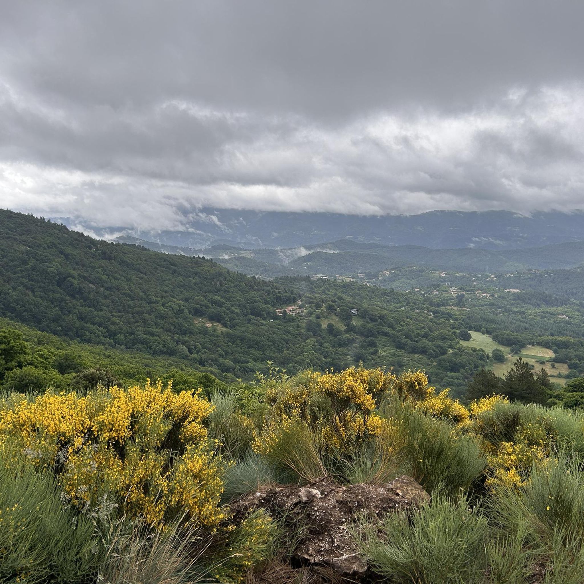
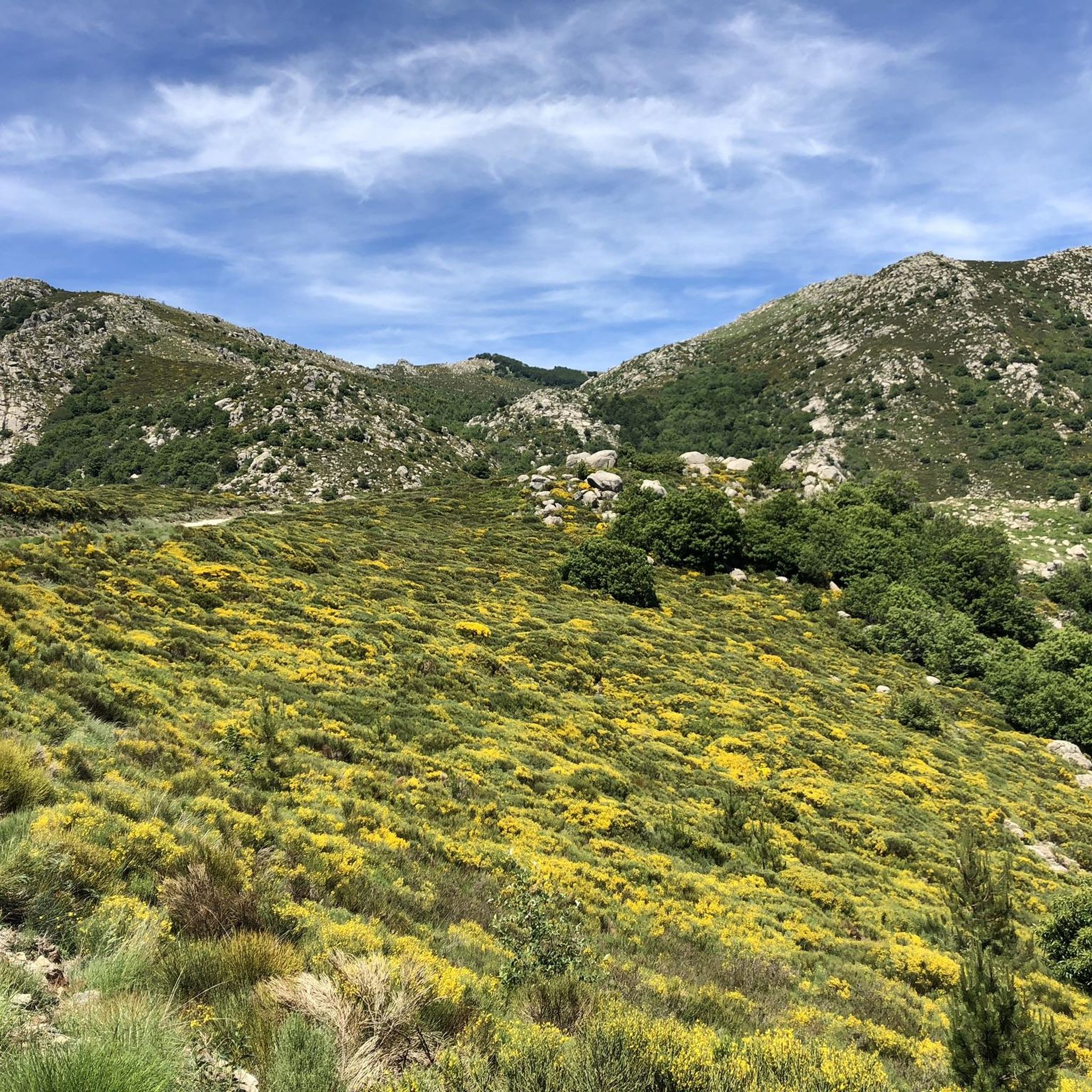
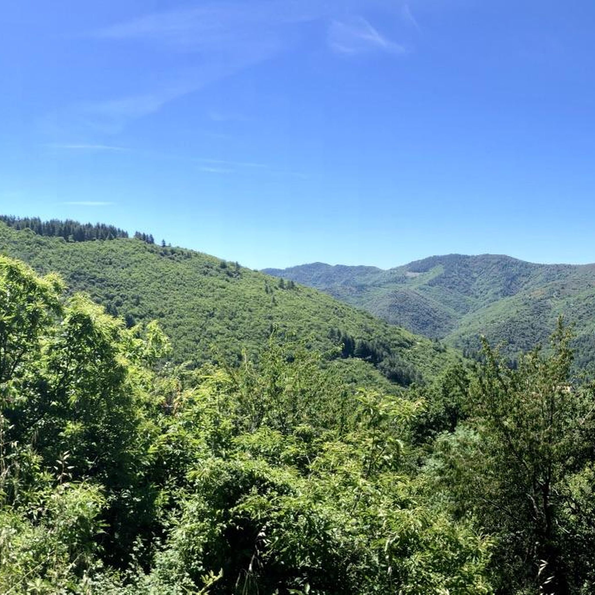
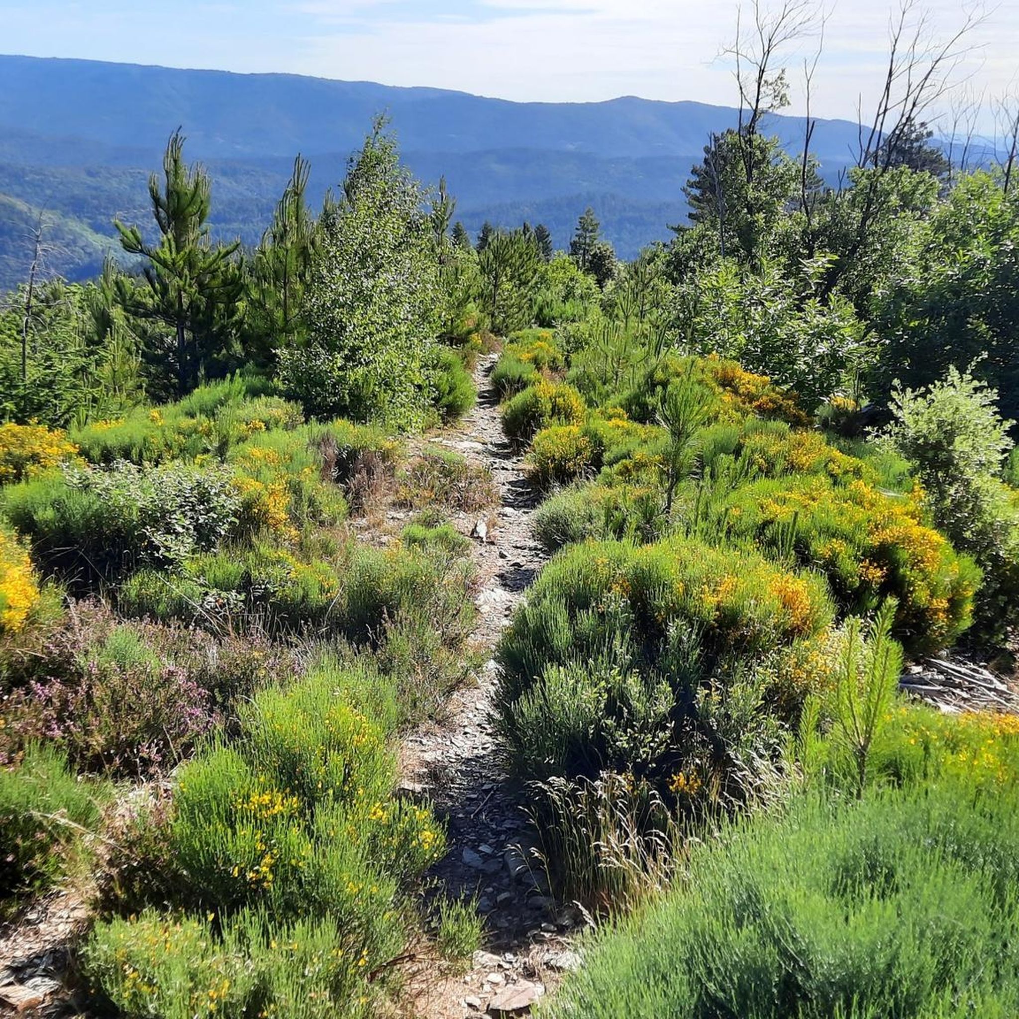
Road cycling around Chamborigaud offers diverse landscapes and challenging terrain within the Cévennes region of France. The area features a varied topography with elevations ranging from 259 to 887 meters above sea level. Cyclists encounter high green hills, dense woods, and expansive upland pastures, providing continuously changing vistas. The region is characterized by an array of landscapes, including vast expanses, valleys, and rivers, making it suitable for varied road cycling experiences.
Best road cycling routes around Chamborigaud
- The most popular…
Last updated: July 13, 2026
4.8
(6)
219
riders
107km
05:39
2,050m
2,050m
Hard road ride. Very good fitness required. Mostly well-paved surfaces and easy to ride.
4.0
(2)
42
riders
42.3km
02:15
720m
720m
Moderate road ride. Good fitness required. Mostly well-paved surfaces and easy to ride.

Sign up for free
18
riders
110km
06:11
2,340m
2,340m
Hard road ride. Very good fitness required. Mostly well-paved surfaces and easy to ride.
4.3
(3)
22
riders
31.2km
01:40
570m
570m
Moderate road ride. Good fitness required. Mostly well-paved surfaces and easy to ride.
17
riders
54.9km
03:01
1,100m
1,100m
Hard road ride. Very good fitness required. Mostly well-paved surfaces and easy to ride.
Get access to more routes and recommendations from other explorers.
Sign up for free
Already have an account?
Our route recommendations are based on thousands of hikes, rides, and runs completed by other people on komoot.
Start today with a free account
Your next adventure awaits.
Login or Signup

Other adventures around Chamborigaud

Tips from the Community

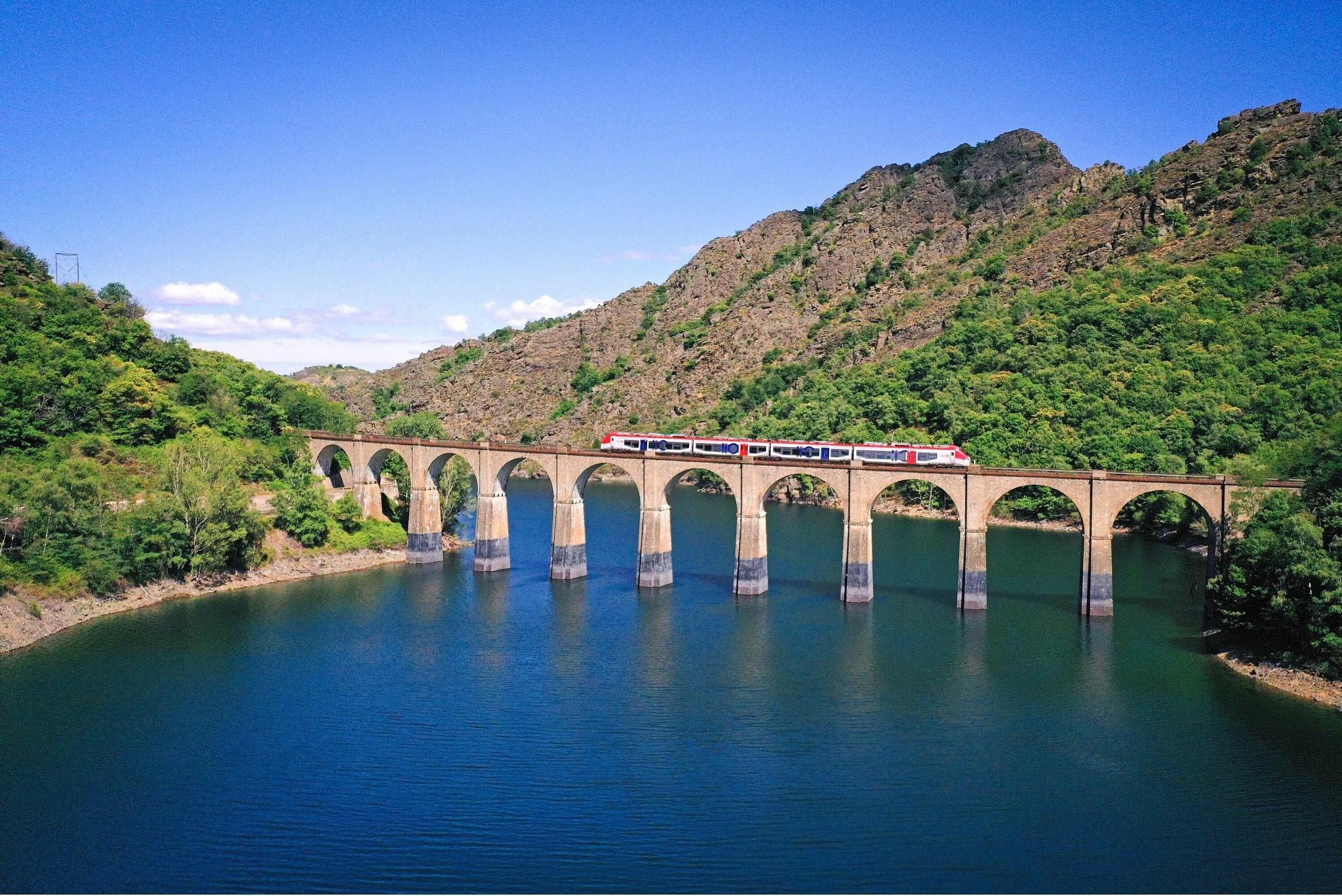
View over the Luech to the noteworthy railway viaduct.
0
0
There isn't much to see from that spot.
0
0
It would be very rocky and shallow. Not deep enough for swimming.
0
0
small road, partly beautiful views
2
0


Beautiful village, located on the Tharn. Possible stop on the Stevenson Trail and the GR7
5
0

Very pretty, Ardèche energy, friendly
2
0
Frequently Asked Questions
What types of road cycling routes are available around Chamborigaud?
The Chamborigaud area, nestled in the Cévennes, offers a diverse range of road cycling routes. You'll find a mix of moderate and difficult options, with 25 moderate and 24 difficult routes listed. The terrain features high green hills, dense woods, and numerous mountain passes, providing varied experiences for cyclists with good to very good fitness levels.
Are there challenging road cycling routes with significant climbs in the Chamborigaud area?
Yes, Chamborigaud is known for its challenging climbs. Routes like the Le Pont-de-Montvert – Finiels Pass loop from Génolhac cover 109.6 km with over 2,340 meters of elevation gain. Another demanding option is the Concoules Village – Super climb loop from Chambon, which includes sustained climbs and over 1,000 meters of elevation gain over 56.4 km. The region also features passes like the Col de Portes, offering exhilarating ascents.
Can I find moderate road cycling routes suitable for a good fitness level?
Absolutely. For those seeking a good workout without extreme difficulty, routes like the Sénéchas Dam – Following the Luech loop from Chamborigaud offer a moderate 42.7 km ride with around 770 meters of elevation gain. Another excellent choice is the Following the Luech – bathing place loop from Génolhac, a 39 km route with about 700 meters of elevation, perfect for enjoying the scenic valleys.
What are some notable natural features or viewpoints along the road cycling routes?
The Cévennes region around Chamborigaud is rich in natural beauty. Cyclists can experience high green hills, dense woods, and expansive upland pastures. You might encounter viewpoints such as Le Montadou or the Route des Crêtes – Panoramic View in Parc National des Cévennes, offering stunning vistas of the Cévennes Mountains. The area is also crisscrossed by picturesque valleys and rivers like the Luech.
Are there any interesting landmarks or attractions to see while road cycling near Chamborigaud?
Beyond the natural landscapes, a prominent landmark is the impressive Chamborigaud railway viaduct, an engineering marvel from the 19th century. While cycling, you might also pass by the Moulin de Roure Stone Bridge and River, or various mountain passes like Col de la Croix de Berthel and Trélis Pass, which are attractions in themselves for cyclists.
What do other road cyclists enjoy most about road cycling in Chamborigaud?
The area is highly rated by the komoot community, with an average score of 4.6 stars from over 80 reviews. Reviewers often praise the diverse landscapes, the challenging yet rewarding climbs, and the continuously changing vistas of the Cévennes. The well-paved roads and variety of routes for different fitness levels are also frequently highlighted.
Are there any circular road cycling routes available?
Yes, many of the road cycling routes around Chamborigaud are designed as loops, allowing you to start and end in the same location. Examples include the Super climb loop from Génolhac and the Sénéchas Dam – Following the Luech loop from Chamborigaud, providing convenient options for exploring the region.
What is the best time of year for road cycling in Chamborigaud?
While specific weather conditions vary, the Cévennes region generally offers pleasant cycling conditions during spring and autumn. Summers can be warm, but the higher elevations and forested areas provide some respite. It's always advisable to check local weather forecasts before planning your ride, especially for mountain passes.
How many road cycling routes are available in the Chamborigaud area?
There are nearly 50 road cycling routes available around Chamborigaud, offering a wide range of distances and difficulty levels. This extensive network ensures that cyclists can find routes suitable for various preferences and fitness capabilities within the Cévennes region.
Are there any specific passes or cols that are popular among road cyclists in Chamborigaud?
Yes, the region is known for its mountain passes. The Col de Portes, at an altitude of 557 meters, is a notable pass accessible from Chamborigaud, offering a significant ascent. Other passes in the vicinity include Col du Pré de la Dame and Col du Peras (771 m), providing challenging and scenic climbs for road cyclists.
Where can I find more information about cycling in the wider Cévennes region?
For broader information about cycling opportunities and the natural landscapes of the Cévennes, you can visit the official tourism website for the region. For cycling specifics, check Cévennes Tourisme - Cycling, and for general natural landscapes, see Cévennes Tourisme - Natural Landscapes.
Most popular routes around Chamborigaud
Most popular attractions around Chamborigaud

Get inspired with the komoot mobile app


Explore more
Browse the best Road cycling routes in other regions.
