The best running trails around Le Tech
4.4
(27)
1,883
runners
69
runs
Jogging around Le Tech offers diverse terrain within the Pyrénées-Orientales department of southern France. The region features elevations ranging from 420 meters to over 2,700 meters, providing a variety of running experiences. The landscape is characterized by extensive forests covering 59% of the land and is shaped by the Tech and Coumelade rivers, creating valleys suitable for running.
Best jogging routes around Le Tech
- The most popular jogging route is Coll de les Falgueres loop from Lamanère, a 9.7…
Last updated: June 28, 2026
5.0
(1)
39
runners
16.1km
02:26
780m
780m
Hard run. Very good fitness required. Mostly paved surfaces. Suitable for all skill levels.
10
runners
10.6km
01:44
680m
680m
Hard run. Very good fitness required. Mostly paved surfaces. Suitable for all skill levels.

Sign up for free
3.0
(1)
15
runners
39.5km
05:38
1,810m
1,810m
Hard run. Very good fitness required. Mostly paved surfaces. Suitable for all skill levels.
9
runners
16.7km
02:23
730m
730m
Hard run. Very good fitness required. Mostly paved surfaces. Suitable for all skill levels.
4.0
(2)
9
runners
15.4km
02:13
820m
830m
Hard run. Very good fitness required. Mostly paved surfaces. Suitable for all skill levels.
Get access to more routes and recommendations from other explorers.
Sign up for free
Already have an account?
Our route recommendations are based on thousands of hikes, rides, and runs completed by other people on komoot.
Start today with a free account
Your next adventure awaits.
Login or Signup
Popular around Le Tech
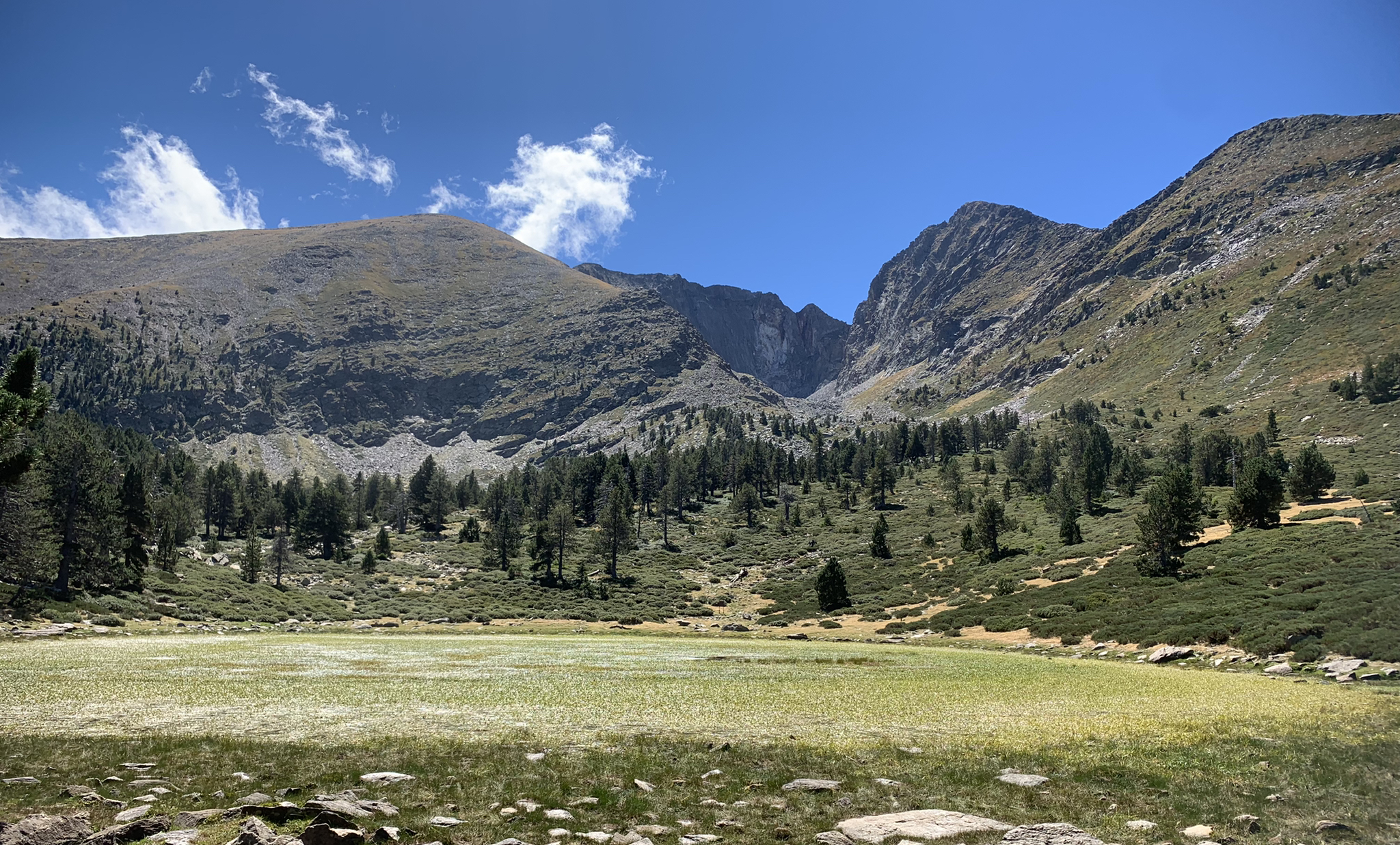
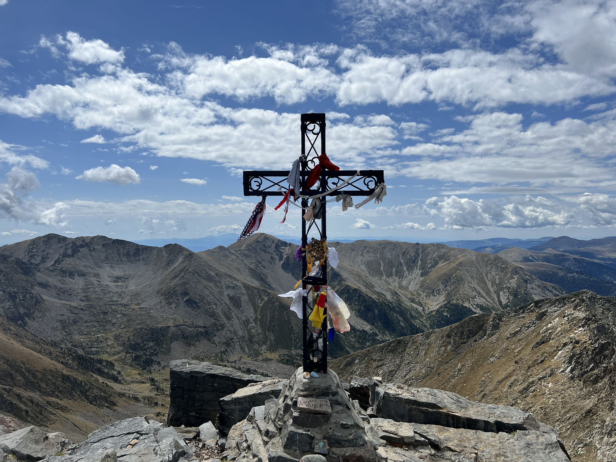
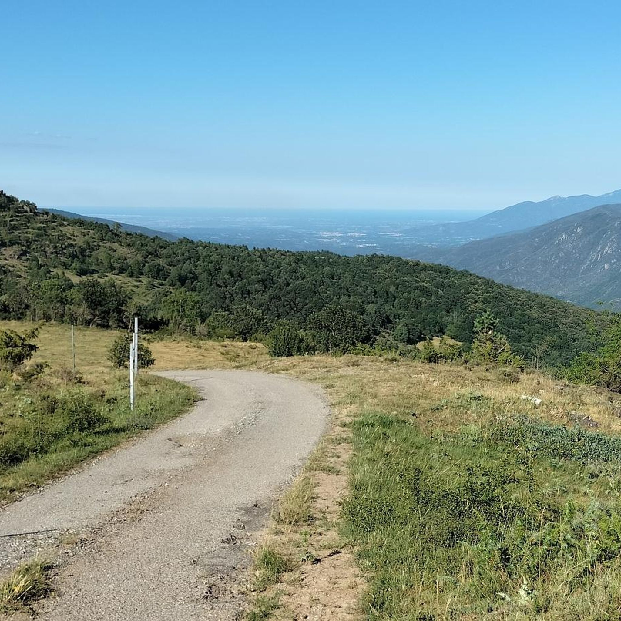
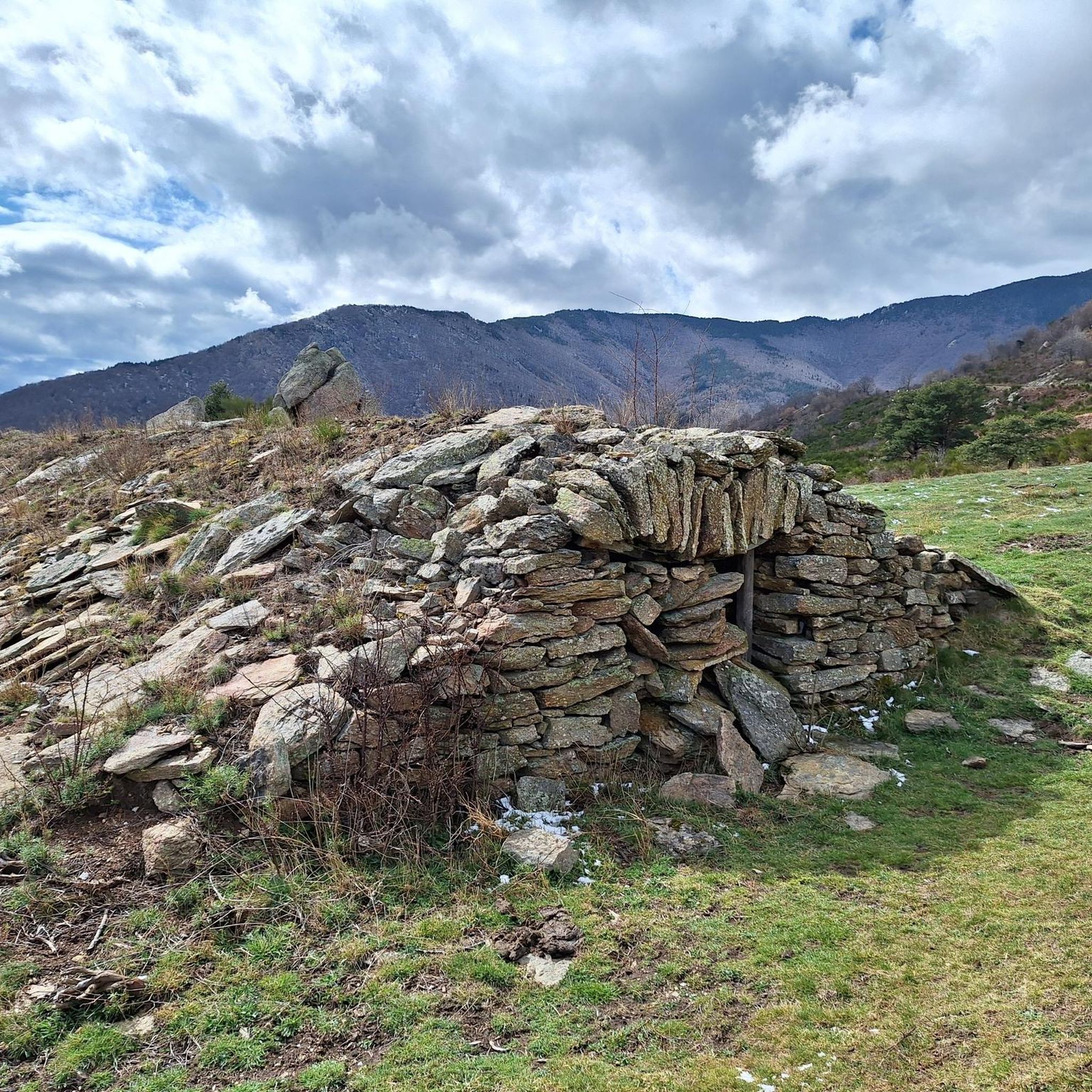




Tips from the Community

A pass that is not too difficult to climb and offers a magnificent landscape when crossing the border at the summit.
0
0

It is a mountain pass located at an altitude of 1,513 metres, on the border between France and Spain, connecting Vallespir (France) with Ripollès (Catalonia, Spain). It is a historic and strategic place, used for centuries as a trade route and also during the Retirada (1939), when thousands of refugees crossed the pass fleeing the Spanish Civil War. Today, it is a popular hiking spot and offers spectacular panoramic views of the Pyrenees.
6
0
It was built on the ruins of an old medieval watchtower to reinforce the defence of the Vallespir after the Treaty of the Pyrenees, which established the border between France and Spain. The fort was designed to withstand prolonged sieges, with food stores and a structure capable of protecting both the garrison and the village. A curiosity is that, for centuries, the inhabitants of Prats-de-Mollo could take refuge in the fort in case of invasions, going up through the underground tunnels. In addition to its military use, the fort has also been the scene of festivals and cultural events, such as the celebration of the Fête de l'Ours (Bear Festival), a local tradition that symbolises the struggle between man and nature.
7
0
Built in the 17th century by order of Vauban, Louis XIV's military engineer, to defend the border with Spain after the signing of the Treaty of the Pyrenees in 1659, the fortress is situated on a hill above the village, offering strategic views. It has underground tunnels that connect to the village and was key to the control of the region.
7
0

The Coll d'Ares is a mountain pass in the Pyrenees that joins the counties of Ripollès and Vallespir, between the municipal terms of Molló and the communal areas of Prats de Molló and la Presta. If we are lucky the views are spectacular. In my case I went up with a Gravel Bike along the road from Camprodon.
1
0
One of the most beautiful ports I've done by bike, in my case twice with the Gravel bike doing the Pirinexus route from Girona. Asphalted port with little traffic, like most ports in the Pyrenees the prize is spectacular views. I did the port already coming from Girona and it was hard. The descent towards Prats de Molló is spectacular.
0
1

The Col d'Arès is a road pass of approximately 17 kilometers. It marks the border between France and Spain at 1513 meters above sea level.
2
1

The Castillo dolmen an impressive architecture
0
0
Frequently Asked Questions
How many running routes are available around Le Tech?
There are over 60 running routes around Le Tech, offering a wide range of experiences from moderate to difficult. The region's diverse topography, with elevations from 420 to 2,721 meters, ensures a varied selection for all fitness levels.
Are there any easy jogging routes for beginners in Le Tech?
While the majority of routes are rated moderate to difficult, there are 14 moderate running trails available. The nearby town of Arles-sur-Tech also features running trails with varying degrees of difficulty, including moderate runs of up to 3 miles with 330 feet of elevation gain, which can be suitable for beginners.
What kind of terrain can I expect on the running trails in Le Tech?
The running trails in Le Tech offer diverse terrain, characterized by extensive forests covering 59% of the land, river valleys shaped by the Tech and Coumelade rivers, and challenging mountain paths. You'll encounter everything from gentle slopes to significant elevation changes, providing a true outdoor playground experience.
Are there challenging trail running options for experienced runners?
Absolutely. Le Tech is an excellent destination for experienced trail runners, with 55 routes rated as difficult. For example, the Coll de les Falgueres loop from Lamanère is a challenging 9.7-mile (15.6 km) trail with significant elevation changes. Another demanding option is the Prats-de-Mollo-la-Preste loop from Barrage de l'Abeillanouse, spanning over 23 miles (38.5 km) with substantial climbs.
Can I find circular running routes in the Le Tech area?
Yes, many of the running routes in Le Tech are circular, allowing you to start and end at the same point. Popular circular options include the Coll de les Falgueres loop from Lamanère and the Prats-de-Mollo-la-Preste – Prats de Mollo loop. The region's ancient paths often form these convenient loops.
What natural features or landmarks can I see while running in Le Tech?
Le Tech's trails offer stunning natural beauty and historical landmarks. You might encounter views of the majestic Mont Canigou, explore picturesque river valleys, or pass by historical sites. The Miracles Peak – Dolmen of Castillo loop from Prats-de-Mollo-la-Preste offers views of surrounding peaks and historical landmarks. You can also discover mountain passes like Coll d'Arès or viewpoints such as Pla Guillem.
Are there any family-friendly jogging trails around Le Tech?
While specific 'family-friendly' designations are not always available, routes with lower elevation gain and shorter distances, particularly those in river valleys or forested areas, can be suitable for families. The 'Pirinexus le Tech loop' from Arles-sur-Tech, a moderate 9.31 km run largely on paved surfaces, could be a good option for families.
What do other runners say about the trails in Le Tech?
The running routes in Le Tech are highly rated by the komoot community, with an average score of 4.4 stars from over 20 reviews. More than 1600 runners have used komoot to explore the varied terrain, often praising the diverse landscapes, dense forests, and challenging mountain trails.
Are dogs allowed on the running routes in Le Tech?
The Pyrénées-Orientales department, where Le Tech is located, generally welcomes dogs on trails, especially in non-protected areas, provided they are kept under control. However, it's always advisable to check specific regulations for any nature reserves or protected zones you plan to enter, such as the Réserve Naturelle Régionale de Nyer, as rules can vary.
What is the best time of year for running in Le Tech?
The varied elevations in Le Tech mean that running conditions can change with the seasons. Spring and autumn generally offer pleasant temperatures for running. Summer can be warm, especially at lower altitudes, while higher trails might be more accessible. Winter running is possible, but higher mountain trails may be affected by snow and ice, requiring appropriate gear.
Are there specific routes that offer historical or cultural points of interest?
Yes, many trails in the region blend physical activity with discovery. The 8.6 km 'Circuit to Saint-Guillem Hermitage' from La Llau leads to the 12th-century Romanesque chapel of Saint-Guillem de Combret, offering an atmospheric stop with unique views. The route from Le Tech to Serralongue also allows runners to appreciate heritage elements of the area.
Most popular routes around Le Tech
Most popular attractions around Le Tech

Get inspired with the komoot mobile app


Explore more
Browse the best Running Trails & Routes in other regions.
