The best running trails around Mantet
4.4
(10)
2,108
runners
81
runs
Jogging routes around Mantet are situated in the Pyrenean mountains at an altitude of 1540 meters, offering varied terrain for runners. The region is characterized by rugged peaks, green forests, and rolling meadows, providing diverse elevations. Trails wind through natural landscapes, along streams, and across mountain reliefs, including sections within the National Nature Reserve of Mantet. This environment ensures a pristine setting for running, with options ranging from paths through meadows to more challenging mountain ascents.
Best jogging routes around…
Last updated: July 7, 2026
5.0
(1)
231
runners
Hard run. Very good fitness required. Sure-footedness, sturdy shoes and alpine experience required.
6
runners
18.6km
03:27
1,290m
1,290m
This difficult 11.6-mile jogging trail to Pic de la Dona from Le Mantet offers vast Pyrenean views and a challenging 4238-foot climb.

Sign up for free
180
runners
14.6km
03:09
1,120m
1,130m
Hard run. Very good fitness required. Sure-footedness, sturdy shoes and alpine experience required.
80
runners
9.60km
02:11
820m
810m
Hard run. Very good fitness required. Sure-footedness, sturdy shoes and alpine experience required.
55
runners
20.4km
03:57
1,460m
1,450m
Hard run. Very good fitness required. Sure-footedness, sturdy shoes and alpine experience required.
Get access to more routes and recommendations from other explorers.
Sign up for free
Already have an account?
Our route recommendations are based on thousands of hikes, rides, and runs completed by other people on komoot.
Start today with a free account
Your next adventure awaits.
Login or Signup


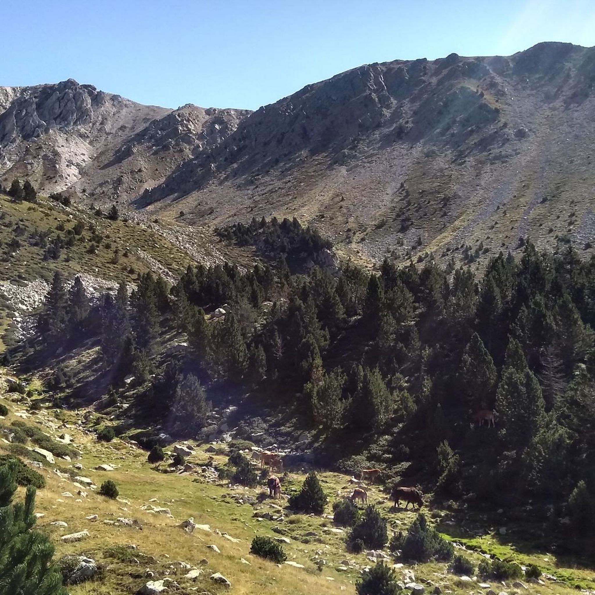
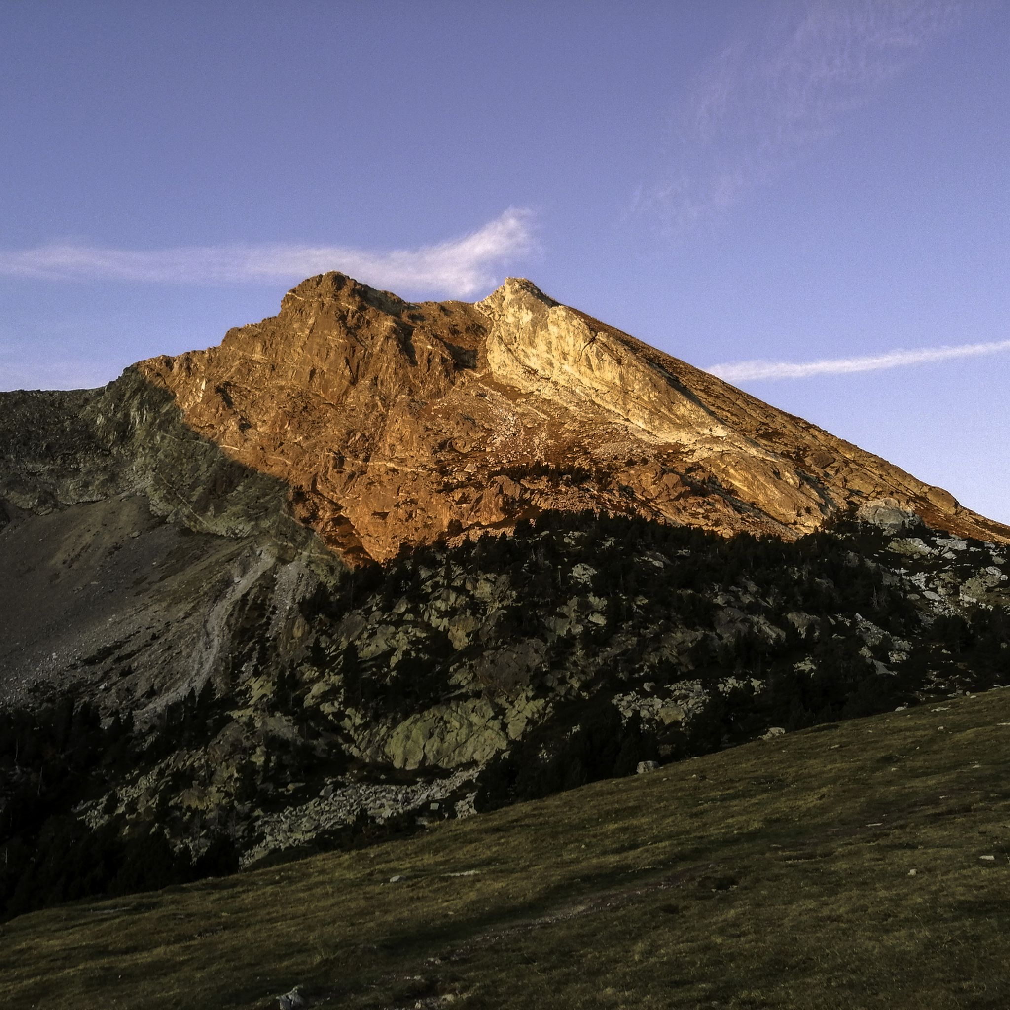
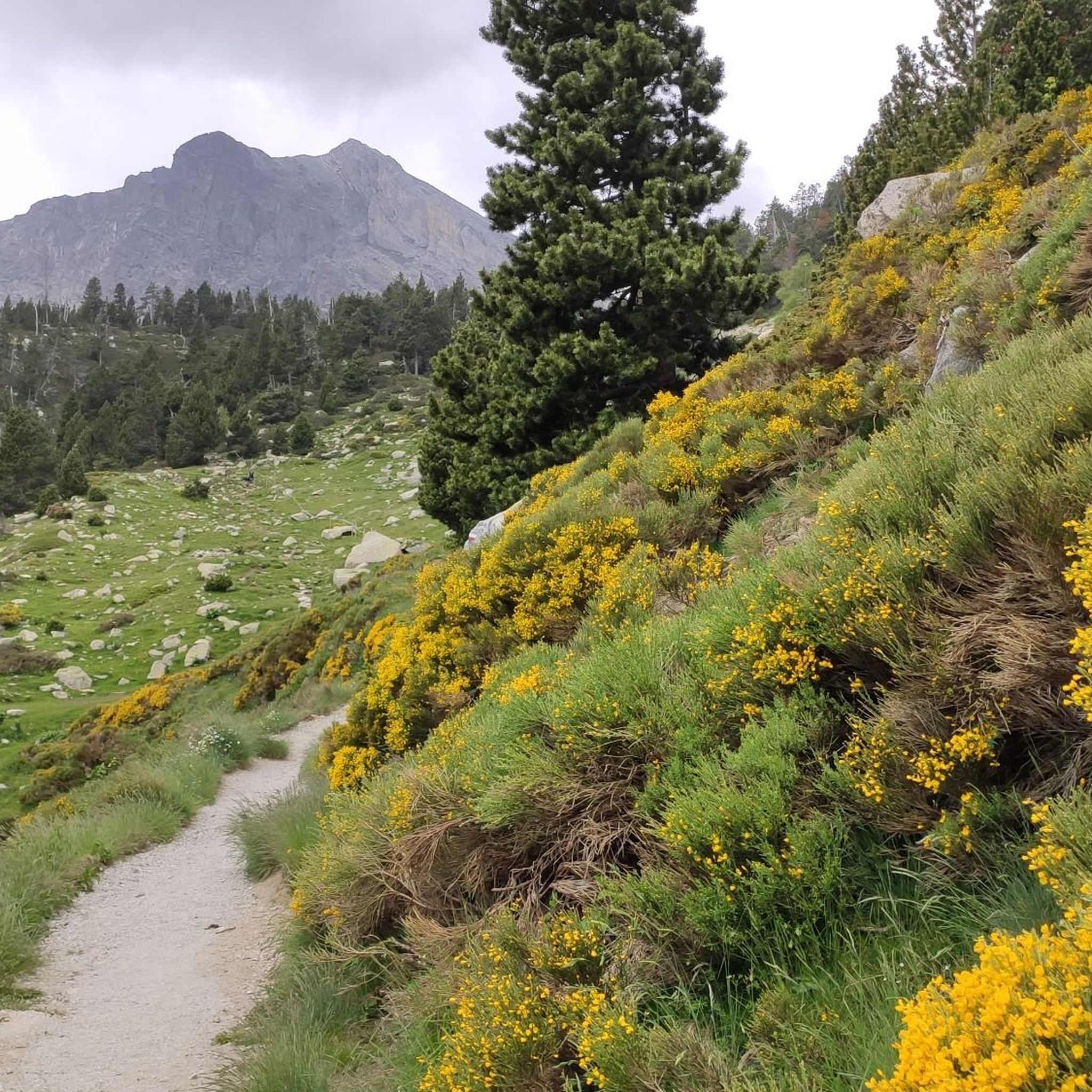



Tips from the Community

The ski resort, located on the main ridge of the Pyrenees in Ripollès on the border with France, is also one of the highest mountain passes that you can reach by bike on an asphalted road. The ski resort has been the finish line for the Volta a Catalunya several times, most recently in 2019.
1
0

At 2,881 m, it is the highest peak on the ridge, reaching Puigmal. It invites you to a longer ridge crossing.
2
0
A panoramic summit slightly off the main ridge. Those who descend into the Caranca Gorge after crossing the Pic de l'Infern - Bastiments ridge can add to their 2800m collection on easy trails.
0
0
East side of the summit ridge of the Bastiment with summit cross. A long ridge crossing is possible via this point.
2
0

Very busy peak. You can continue along the ridge in a westerly direction to the Pic de l'Infern
0
0

Beautiful Ibon at 2601ma, between Bacivers de Prats and Bastiments
1
0
La Portella de Mentet[1] is a high mountain pass of the eastern foothills of the Massís del Canigó, at 2,412 meters of altitude, at the limit of the communal terms of Mentet, of the Conflent region, in Northern Catalonia, and municipal of Setcases, of Ripollès.
3
0

Mataró > Vallter / Setcases (Camprodon Valley) 03/19/2024 - Stage 2 Tour of Catalonia
0
1
Frequently Asked Questions
How many running routes are available around Mantet?
Mantet, nestled in the Pyrenean mountains, offers a wide selection of over 80 running routes. These trails cater to various preferences, from paths through green forests and rolling meadows to challenging mountain ascents.
What kind of terrain can I expect on the jogging trails in Mantet?
The terrain around Mantet is incredibly diverse, characterized by rugged peaks, green forests, and rolling meadows. You'll find varied elevations, with trails winding along streams and across mountain reliefs. Many routes are within the National Nature Reserve of Mantet, ensuring a pristine natural setting.
Are there any easy or beginner-friendly running routes in Mantet?
While Mantet is known for its challenging mountain terrain, with most routes rated as difficult, there are a few moderate options available. These can be a good starting point for runners looking for less strenuous experiences while still enjoying the Pyrenean scenery. However, most routes involve significant elevation changes.
What are some notable natural features or landmarks I might see while running in Mantet?
Mantet's routes offer breathtaking views of the Pyrenean mountain scenery. You might encounter features like the nearby Carança Gorges, known for their dramatic corniche and footbridges. Specific highlights include the Carança Corniche and The Footbridges of the Carançà Gorge. The region also boasts high mountain passes and the untouched beauty of the National Nature Reserve.
Are there any circular running routes in the Mantet area?
Yes, Mantet offers several circular running routes that allow you to start and finish in the same location. An example is the challenging Bastiments y Pic de la Dona - trail run circular through the Natural Park of the Headwaters of Ter and Freser, which is 10.3 km long and traverses a natural park.
What do other runners enjoy most about the trails in Mantet?
The running routes in Mantet are highly rated by the komoot community, with an average score of 4.3 stars from over 8 reviews. Runners frequently praise the challenging nature of the trails, the significant elevation gains, and the expansive, breathtaking mountain views that make for a rewarding experience.
Is Mantet suitable for trail running with dogs?
Mantet is located within the National Nature Reserve, which often has specific regulations regarding pets to protect wildlife. While many outdoor areas in the Pyrenees are dog-friendly, it's advisable to check local signage or contact the reserve management for specific rules on trails within the protected area to ensure a responsible and enjoyable run with your dog.
What is the best time of year for jogging in Mantet?
The best time for jogging in Mantet generally aligns with the warmer months, from late spring to early autumn, when the mountain trails are clear of snow and ice. The village itself is at 1540m altitude, and many routes climb higher, so conditions can vary. Always check local weather and trail conditions before heading out, especially for higher-altitude routes.
Are there any running routes that offer particularly good viewpoints?
Absolutely. Mantet's location in the Pyrenees means many routes offer superb panoramic views. Trails that climb to mountain passes or prominent peaks, such as those towards Pic de la Dona or Col del Pal, are renowned for their rewarding vistas of the surrounding rugged peaks and valleys.
How challenging are the running routes in Mantet?
The running routes in Mantet are generally considered challenging, with a significant number of difficult trails. For example, the Pic de la Dona Loop Trail is an 18.6 km difficult path featuring substantial elevation changes, providing a strenuous workout with expansive mountain views. Runners should be prepared for considerable ascents and descents.
Are there any facilities like cafes or accommodation directly in Mantet?
Mantet is a small village situated at 1540 meters altitude. While specific establishments are not detailed in the route information, its status as a village implies basic amenities might be available. For specific cafes, pubs, or accommodation, it's recommended to check local listings for Mantet prior to your visit.
What is the average duration for a running route in Mantet?
The duration of running routes in Mantet varies significantly based on distance and difficulty. For instance, the challenging Bastiments y Pic de la Dona - trail run circular through the Natural Park of the Headwaters of Ter and Freser typically takes around 2 hours and 7 minutes to complete, while longer routes can take 3 hours or more.
Most popular attractions around Mantet

Get inspired with the komoot mobile app


Explore more
Browse the best Running Trails & Routes in other regions.
