The best cycling routes around Ayguatébia-Talau
4.3
(172)
5,415
riders
163
rides
Touring cycling routes around Ayguatébia-Talau are situated in the Pyrénées-Orientales department of southern France, within the Regional Natural Park of the Catalan Pyrenees. The region features a diverse landscape ranging from the Garrotxes Valley to mountain peaks over 2,000 meters, including Tossa d'en Maig and Pic de Figuema. Terrain for touring cyclists includes challenging ascents, scenic valleys, and forested areas like the Clavéra state forest. The commune is drained by several small rivers, adding to the natural features of the…
Last updated: November 1, 2026
5.0
(2)
27
riders
54.0km
04:27
1,690m
1,680m
Hard bike ride. Very good fitness required. Mostly paved surfaces.
5.0
(2)
535
riders
68.5km
05:13
1,750m
1,750m
Hard bike ride. Very good fitness required. Mostly paved surfaces.

4.0
(1)
234
riders
95.9km
07:09
2,100m
2,100m
Hard bike ride. Very good fitness required. Mostly paved surfaces.
4.5
(2)
46
riders
41.8km
04:19
1,180m
1,180m
Hard bike ride. Very good fitness required. Mostly paved surfaces.
5.0
(1)
42
riders
36.6km
03:39
930m
930m
Hard bike ride. Very good fitness required. Mostly paved surfaces.
Get access to more routes and recommendations from other explorers.
Already have an account?
Our route recommendations are based on thousands of hikes, rides, and runs completed by other people on komoot.
Start today with a free account
Your next adventure awaits.
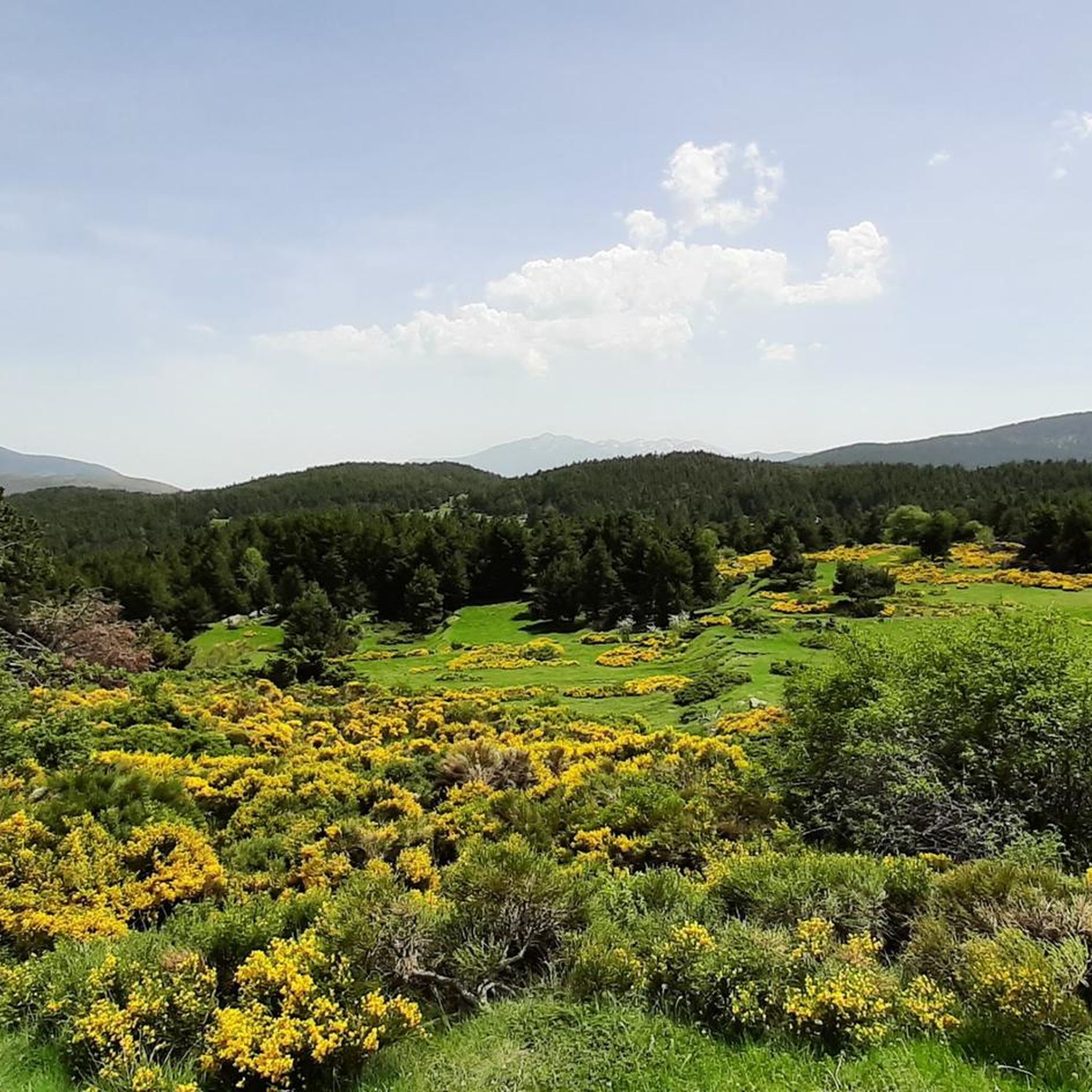
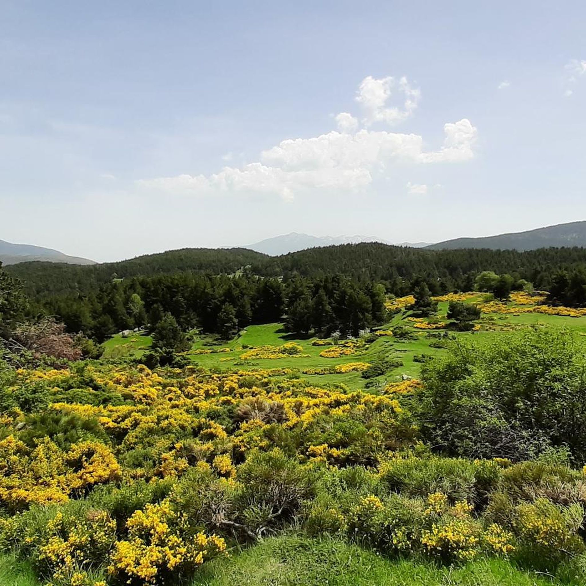
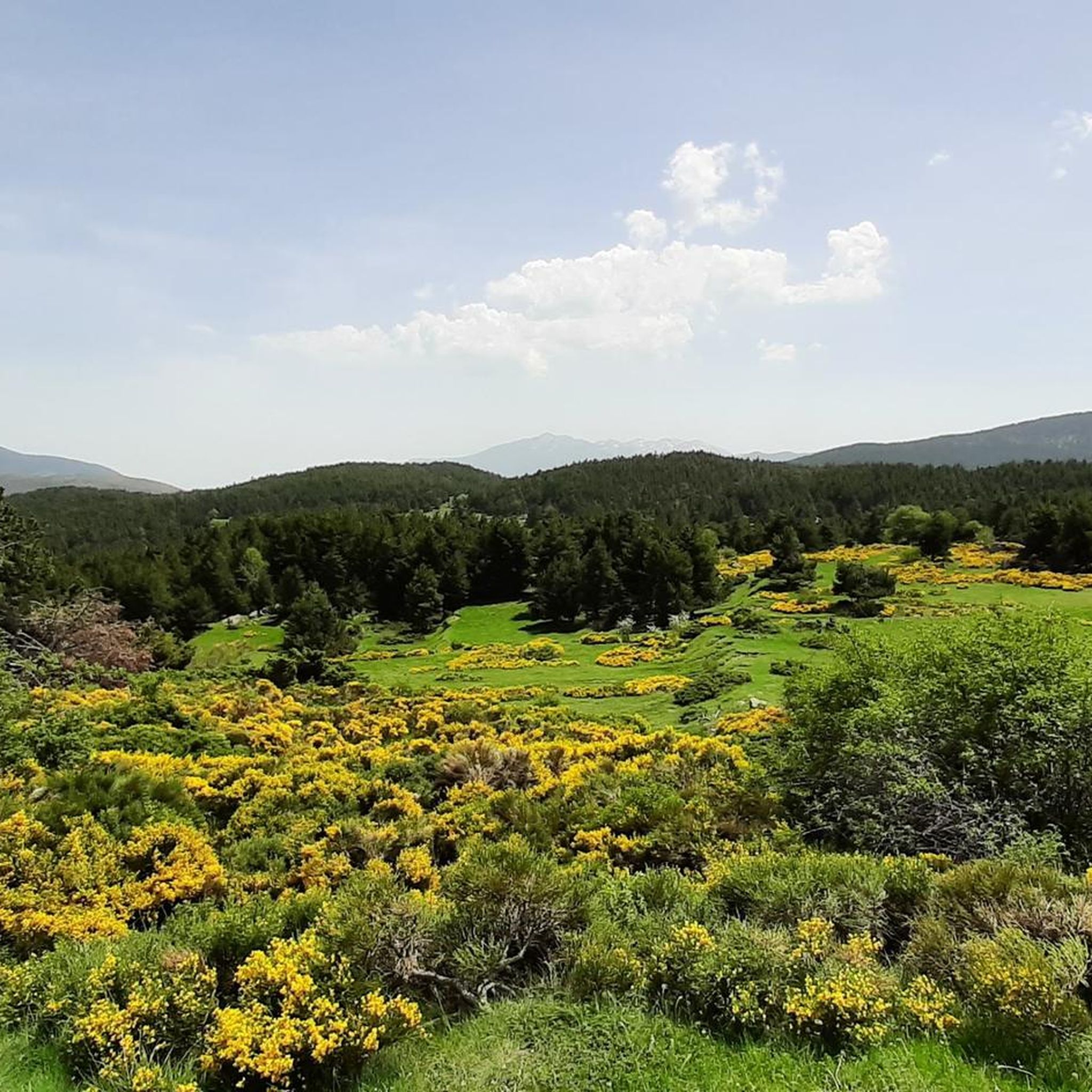
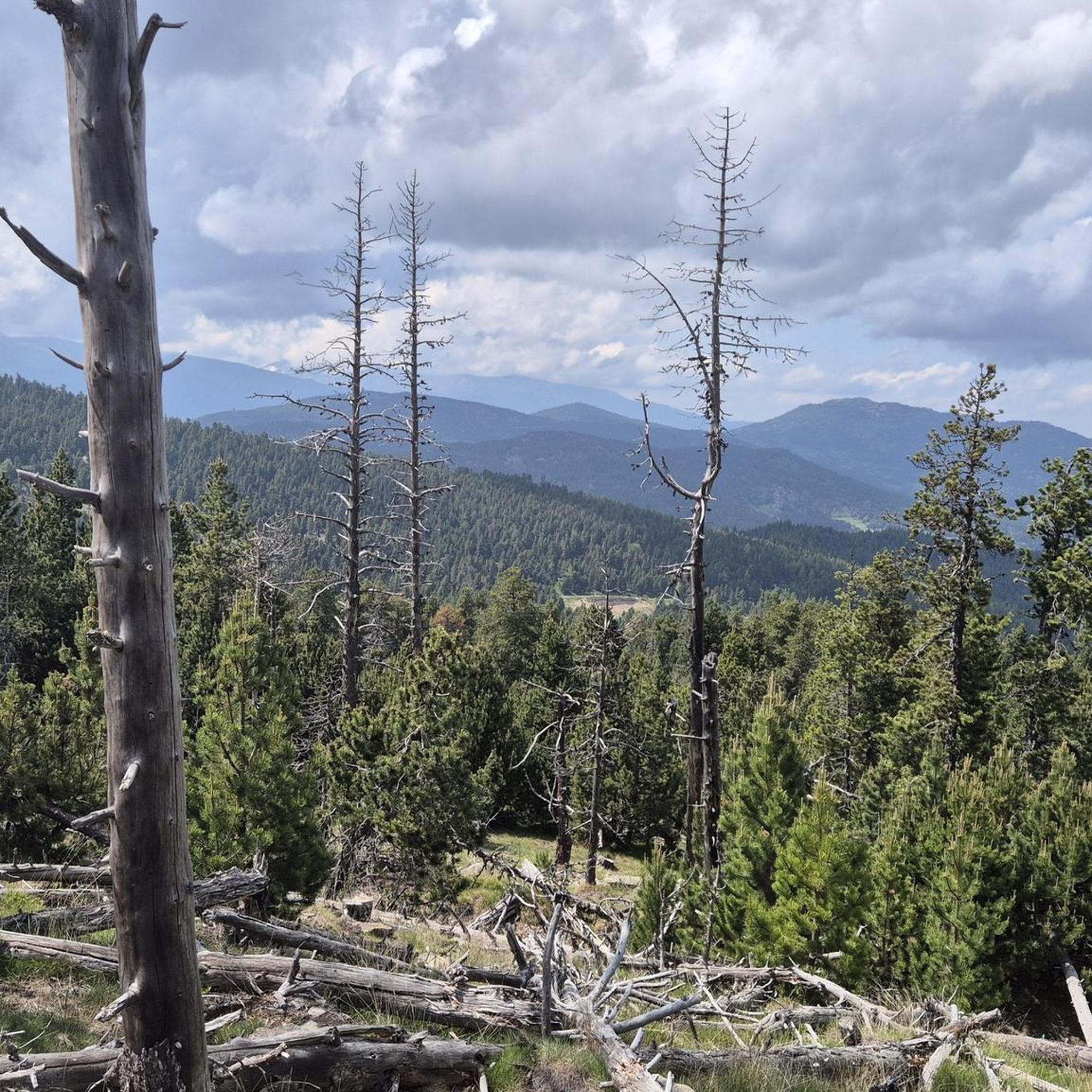
Tips from the Community

The Matemale lake is located in the middle of the Capcir plateau. The color of its waters captures the attention and creates a desire: to get closer and perhaps take a dip. The lake is developed, and a equipped leisure base opens onto its shores. An ideal stopover.
0
0

Beautiful, quiet road. It's really nice to be away from traffic, especially if you're leaving the main road that leads to Lake Matemale.
0
0

Lake Matemale with its beautiful beaches is located at an altitude of 1500 metres and therefore the water is between 19 and 23°.
1
1


An intoxicatingly beautiful descent from the Col de la Llose. The narrow road, often lined with shady trees, leads quickly downhill.
1
1

Easy access from Réal via the DFCI, many trails to follow once the pass is reached. An excellent start to the outing
0
0

It is a simply spectacular port that unites the regions of Conflent and Capcir. It is one of the most beautiful ports in the easternmost Pyrenees. It is very close to the Col de la Llosa, and you can take a circular route that is known as the "Route des Cols". It is also indicated on nearby road signs. The hardest slope is the one that begins in Olette (Conflent) and goes up through Aiguatèbia. There are almost 22 km of ascent and 1,089 meters of elevation gain. It has 3 very different zones: (1) the first is a constant 5 km at 7%; (2) the second is 10 km at 4% and with some very pleasant rest areas, with beautiful views; (3) The final part is 6 km on average at 7%, since it passes the town of Railleu, although the hard part is the last 3 km, with several ramps that exceed 10%. The road is narrow and has uneven asphalt, with hardly any cars and motorcycles. For me, the final part of this port is truly spectacular and should not be missed. The west slope begins in the town of Matamala (Capcir) and is 3 km with an average of close to 8%. It is a long irregular stretch along a narrow and very quiet road, with panoramic views of the valley when the thick black pine forest gives some opportunity.
0
0

A little disappointing: the pass is in the middle of the forest and offers no view. The climb from (and to!) Railleu is nevertheless superb. A nice picnic area to have a bite to eat.
1
0
Frequently Asked Questions
How many touring cycling routes are available around Ayguatébia-Talau?
There are over 160 touring cycling routes documented on komoot for the Ayguatébia-Talau region. These routes offer a wide range of experiences, from challenging mountain climbs to scenic rides through charming villages.
What kind of terrain can I expect on touring cycling routes in Ayguatébia-Talau?
The terrain around Ayguatébia-Talau is diverse, ranging from the valleys to mountain peaks over 2,000 meters. You'll encounter challenging ascents, scenic descents, and routes through forested areas like the Clavéra state forest. The region's altitude varies significantly, providing varied climbs and rewarding views.
Are there any easy or family-friendly touring cycling routes in Ayguatébia-Talau?
Yes, while many routes feature significant elevation, there are 33 easy touring cycling routes available. These often traverse valleys or follow less strenuous paths, making them suitable for families or those seeking a more relaxed ride. The region's charming villages and picturesque settings offer pleasant stops along the way.
What are some notable natural features or landmarks I can see while cycling in Ayguatébia-Talau?
The region offers magnificent panoramas of the valleys and the Canigou massif. You can cycle towards areas with views of peaks like Mount Llaret or Cambre d'Aze. The area is also drained by several small rivers, and you might encounter the dramatic landscapes surrounding the Gorges de la Carança, such as the Carança Corniche.
Are there any circular touring cycling routes available?
Yes, many routes in the Ayguatébia-Talau area are designed as loops, allowing you to start and end in the same location. For example, the difficult route Col de la Llose – Refuge du col de la Llose loop from Olette - Canaveilles-les-Bains is a popular circular option exploring the area around Col de la Llose.
What is the best time of year to go touring cycling in Ayguatébia-Talau?
The diverse landscapes of Ayguatébia-Talau, with its valleys and mountain peaks, suggest that spring and autumn would be ideal for touring cycling. During these seasons, the weather is generally milder, and the natural scenery is particularly vibrant, offering comfortable conditions for longer rides and enjoying the views.
Can I find routes that offer significant elevation challenges?
Absolutely. Ayguatébia-Talau is situated in the Pyrénées-Orientales, offering numerous routes with substantial elevation gains. For instance, the difficult route Climb Col de Pailhères – Cycle path along the D118 loop from La Llagonne involves over 2,000 meters of ascent, providing a significant challenge for experienced touring cyclists.
What do other touring cyclists say about the routes in Ayguatébia-Talau?
The touring cycling routes in Ayguatébia-Talau are highly rated by the komoot community, with an average score of 4.2 stars from over 160 reviews. Cyclists often praise the varied terrain, the stunning panoramic views of the Canigou massif, and the opportunity to explore charming, historic villages.
Are there any routes that pass through villages or offer cultural sights?
Many routes in the region will take you through or near charming, typical villages like Ayguatébia itself, with its old stone houses and 17th-century Saint-Félix church. The hamlet of Talau also boasts the Romanesque church of Saint-Etienne. Cycling through these historic villages provides a rich cultural experience alongside the physical activity.
Where can I find parking for touring cycling routes in Ayguatébia-Talau?
While specific parking areas for each trailhead are not detailed, the presence of small villages and hamlets throughout the Garrotxes Valley, such as Olette or La Llagonne, suggests that parking facilities would be available in or near these communities, which often serve as starting points for routes like From Olette to lake Matemale.
Are there any routes that explore the Col de la Llose area?
Yes, the Col de la Llose is a prominent feature in the region, known for its well-maintained roads and scenic views. Routes like Col de la Llose – Col de la Creu loop from La Llagonne offer an excellent way to explore this area, which is also a Nordic cross-country ski resort in winter.
Can I find routes that are less frequented or considered 'hidden gems'?
The Garrotxes Valley, where Ayguatébia is located, is described as a 'very beautiful escapade in a remote and little-known corner' of the Regional Natural Park of the Catalan Pyrenees. Exploring routes through this valley, which connects small villages like Railleu, Caudiès de Conflent, Sansa, and Oreilla, could lead you to less frequented paths and offer a sense of discovery.
Most popular routes around Ayguatébia-Talau
Most popular attractions around Ayguatébia-Talau

Get inspired with the komoot mobile app


Explore more
Browse the best Cycling routes in other regions.
