The best running trails around Saint-Sauveur-Marville
4.6
(7)
468
runners
20
runs
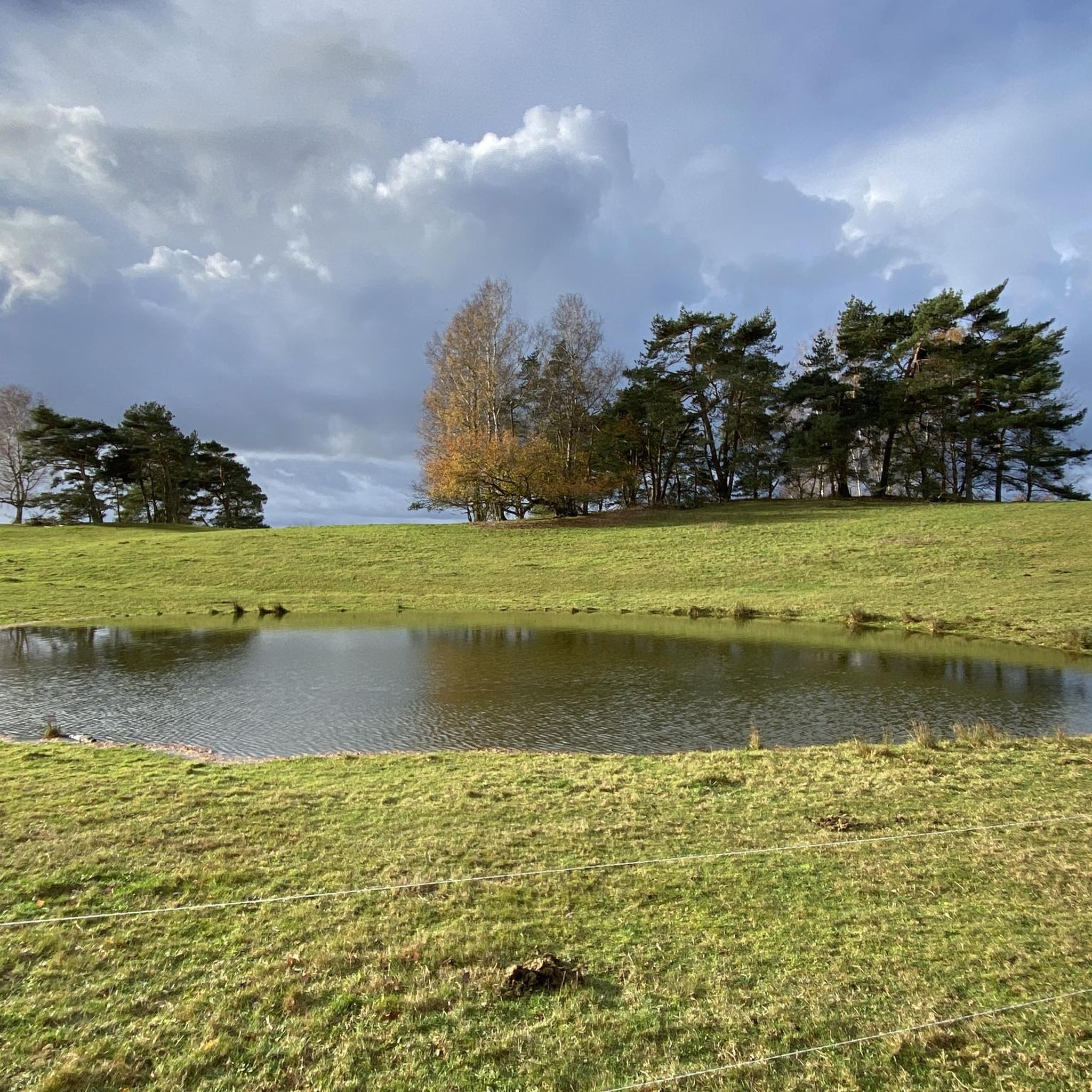
Jogging around Saint-Sauveur-Marville offers access to a diverse natural landscape within the Eure-et-Loir department of northern France. The region is characterized by its inclusion in the "Forêts et étangs du Perche," a vast Natura 2000 conservation area featuring extensive woodlands and tranquil ponds. Runners can explore the scenic "Vallée de Vaubrun," known for its natural beauty and wildlife, or traverse routes through the surrounding countryside. This area provides a variety of trails suitable for different running preferences.
Best jogging routes…
Last updated: October 26, 2026
7
runners
10.1km
01:03
60m
60m
Moderate run. Good fitness required. Mostly paved surfaces.
8
runners
4.63km
00:30
20m
20m
Easy run. Mostly paved surfaces.

6
runners
10.2km
01:04
50m
50m
Moderate run. Good fitness required. Mostly paved surfaces.
3
runners
8.09km
00:53
70m
70m
Moderate run. Good fitness required. Mostly paved surfaces.
3
runners
10.0km
01:05
50m
50m
Moderate run. Good fitness required. Mostly paved surfaces.
Get access to more routes and recommendations from other explorers.
Already have an account?
Our route recommendations are based on thousands of hikes, rides, and runs completed by other people on komoot.
Start today with a free account
Your next adventure awaits.

Tips from the Community

it goes up, it goes down, it goes up, but always bordered by trees and it is very pleasant
1
0
Frequently Asked Questions
How many running routes are available in Saint-Sauveur-Marville?
There are over 90 running routes around Saint-Sauveur-Marville, offering a wide variety of options for different preferences and fitness levels.
Are there easy jogging paths suitable for beginners or casual runners?
Yes, Saint-Sauveur-Marville offers 11 easy jogging routes. These paths are generally less challenging, perfect for those new to running or looking for a relaxed outing through the scenic landscape.
What kind of terrain can I expect on the running trails in this region?
The running trails in Saint-Sauveur-Marville primarily feature extensive woodlands, tranquil valleys like the "Vallée de Vaubrun," and open countryside. The area is part of the "Forêts et étangs du Perche" Natura 2000 conservation area, ensuring a rich natural environment.
Are there any historical landmarks or points of interest along the running routes?
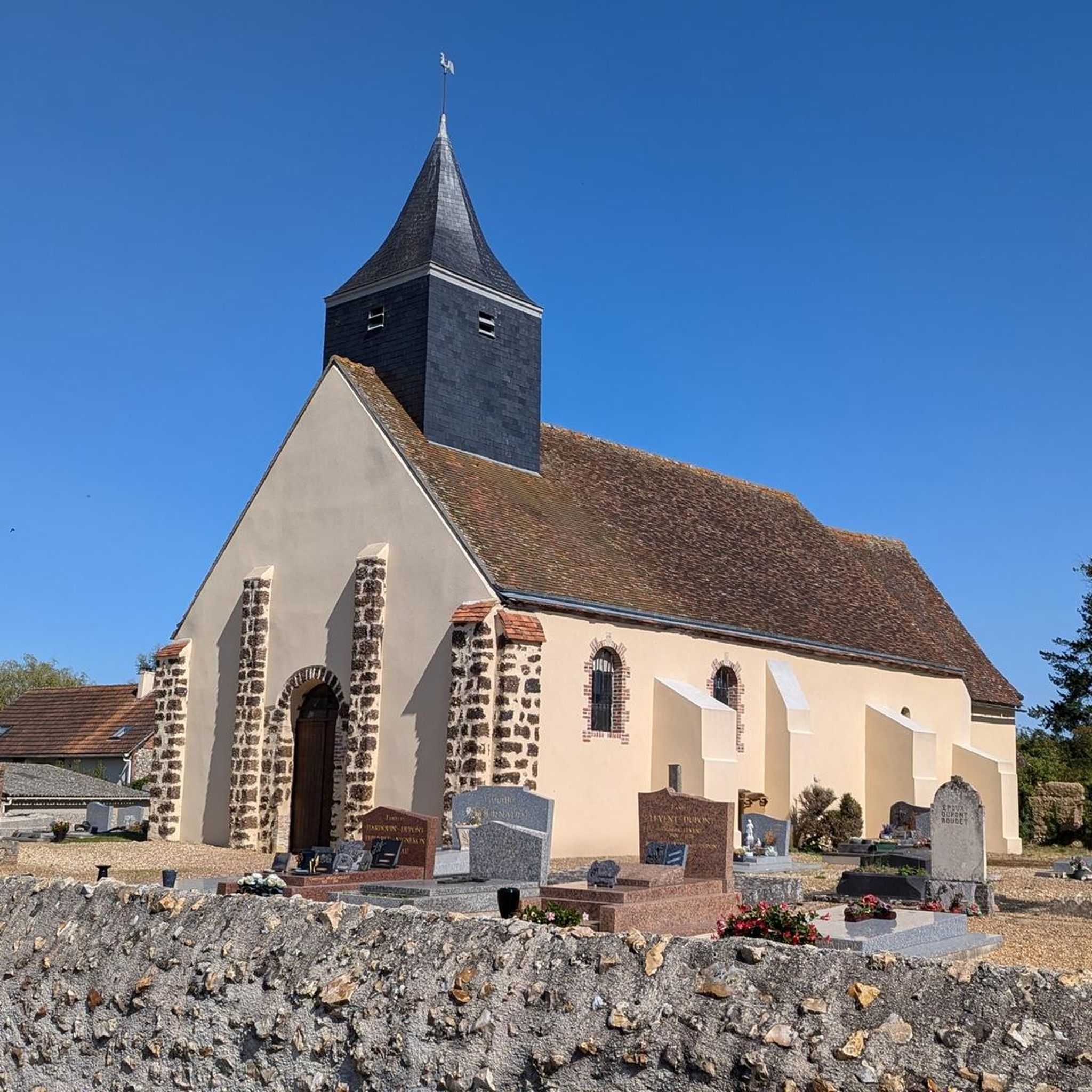
Yes, several routes incorporate historical elements. For example, the Rond des Quatres Barrières – Châteauneuf-en-Thymerais loop passes by the 18th-century "Rond des Quatres Barrières" monument. You might also encounter 18th-century sandstone pyramids that once marked royal hunting grounds. The Rond du Roi is another notable historical site.
What do other runners enjoy the most about jogging in Saint-Sauveur-Marville?
The area is highly rated by the komoot community, with an average score of 4.6 stars from over 7 reviews. Runners often praise the diverse terrain, the quiet woodlands, and the well-maintained paths that offer a refreshing escape into nature.
Are there any circular running routes available?
Many of the running routes in Saint-Sauveur-Marville are circular, allowing you to start and finish at the same point. Examples include the popular Forêt Domaniale de Châteauneuf-en-Thymerais — loop and the Rond du Roi loop from Châteauneuf-en-Thymerais.
Can I find routes that are suitable for families with children?
While specific 'family-friendly' designations aren't always explicit, the 11 easy routes are generally suitable for families. These paths tend to have gentler gradients and shorter distances, making them more accessible for children.
Are there any longer running routes for experienced runners?
Yes, for more experienced runners, there are 13 difficult routes available. These typically cover longer distances and may include more varied terrain or elevation changes. The Rond des Quatres Barrières – Châteauneuf-en-Thymerais loop, at 8.6 miles (13.8 km), is a good example of a moderate to longer option.
What are some scenic running routes in the area?
Many routes offer scenic views, particularly those traversing the "Forêts et étangs du Perche" and the "Vallée de Vaubrun." The Châteauneuf-en-Thymerais loop provides lovely views of the surrounding countryside, while the Bois au Clercs loop takes you through beautiful forested areas.
Is parking readily available near the trailheads?
While specific parking details for every trailhead are not listed, the presence of numerous routes originating from towns like Châteauneuf-en-Thymerais suggests that parking options are generally available in these areas, especially near popular starting points for forest trails.
What is the typical duration for a running route in Saint-Sauveur-Marville?
The duration varies significantly depending on the route's length and your pace. For instance, a moderate route like the Forêt Domaniale de Châteauneuf-en-Thymerais — loop (5.5 miles) typically takes about 1 hour 1 minute, while shorter paths can be completed in under an hour.
Most popular routes around Saint-Sauveur-Marville
Most popular attractions around Saint-Sauveur-Marville

Get inspired with the komoot mobile app


Explore more
Browse the best Running Trails & Routes in other regions.
