The best running trails around Bézaudun-Sur-Bîne
4.5
(69)
1,653
runners
138
runs
Jogging routes around Bézaudun-Sur-Bîne traverse a diverse landscape within the Drôme department, characterized by mountainous terrain and a network of trails. The region features the Montagne de Couspeau, with varied vegetation and elevation changes, ranging from 400 to 1,547 meters. The tranquil Bîne river also offers peaceful, verdant environments for running.
Best jogging routes around Bézaudun-Sur-Bîne
- The most popular jogging route is Ascent to the Trois Becs – Le Veyou loop from La Chaudière, a 3.9 miles (6.3 km)…
Last updated: July 15, 2026
57
runners
6.28km
01:25
550m
550m
Hard run. Very good fitness required. Sure-footedness, sturdy shoes and alpine experience required.
47
runners
9.51km
01:59
690m
690m
Hard run. Very good fitness required. Sure-footedness, sturdy shoes and alpine experience required.

Sign up for free
18
runners
10.8km
01:09
120m
120m
Moderate run. Good fitness required. Mostly paved surfaces. Suitable for all skill levels.
13
runners
20.5km
03:06
990m
990m
Hard run. Very good fitness required. Mostly paved surfaces. Suitable for all skill levels.
8
runners
18.1km
03:24
1,130m
1,130m
Hard run. Very good fitness required. Sure-footedness, sturdy shoes and alpine experience required.
Get access to more routes and recommendations from other explorers.
Sign up for free
Already have an account?
Our route recommendations are based on thousands of hikes, rides, and runs completed by other people on komoot.
Start today with a free account
Your next adventure awaits.
Login or Signup
Popular around Bézaudun-Sur-Bîne

Écrins, Belledonne and Vercors – HexaTrek, Hautes-Alpes
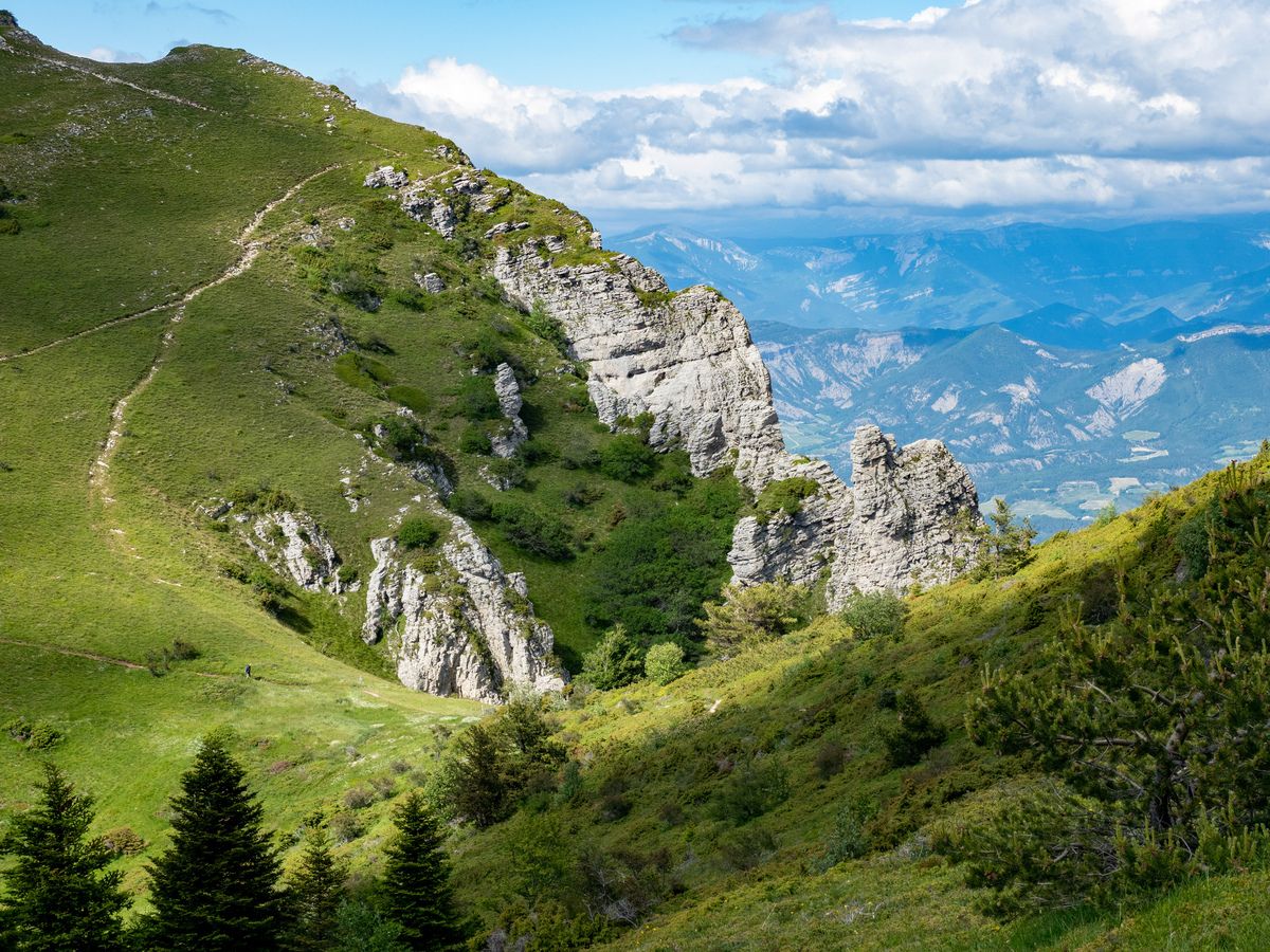
Hike France’s Drôme Valley – mountains, meadows, canyons and valleys
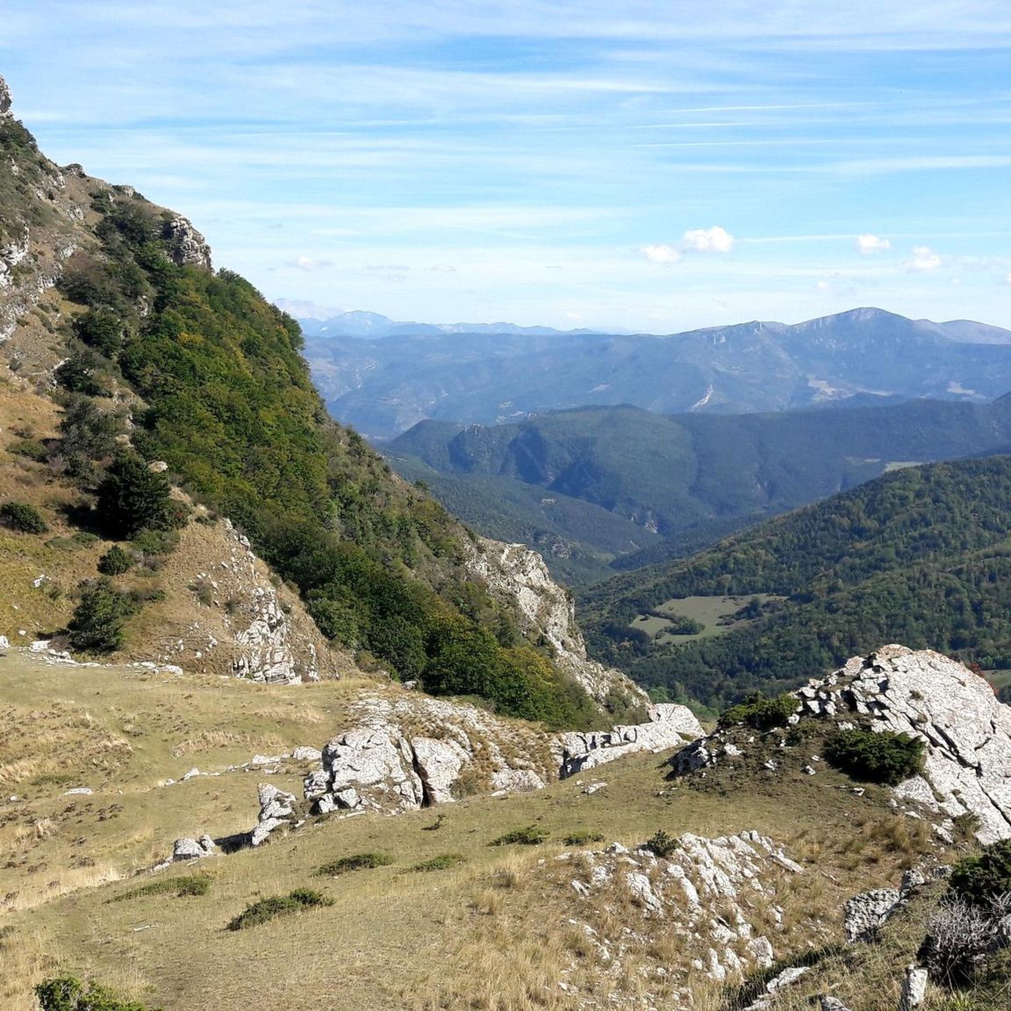
Road Cycling Routes around Bézaudun-Sur-Bîne
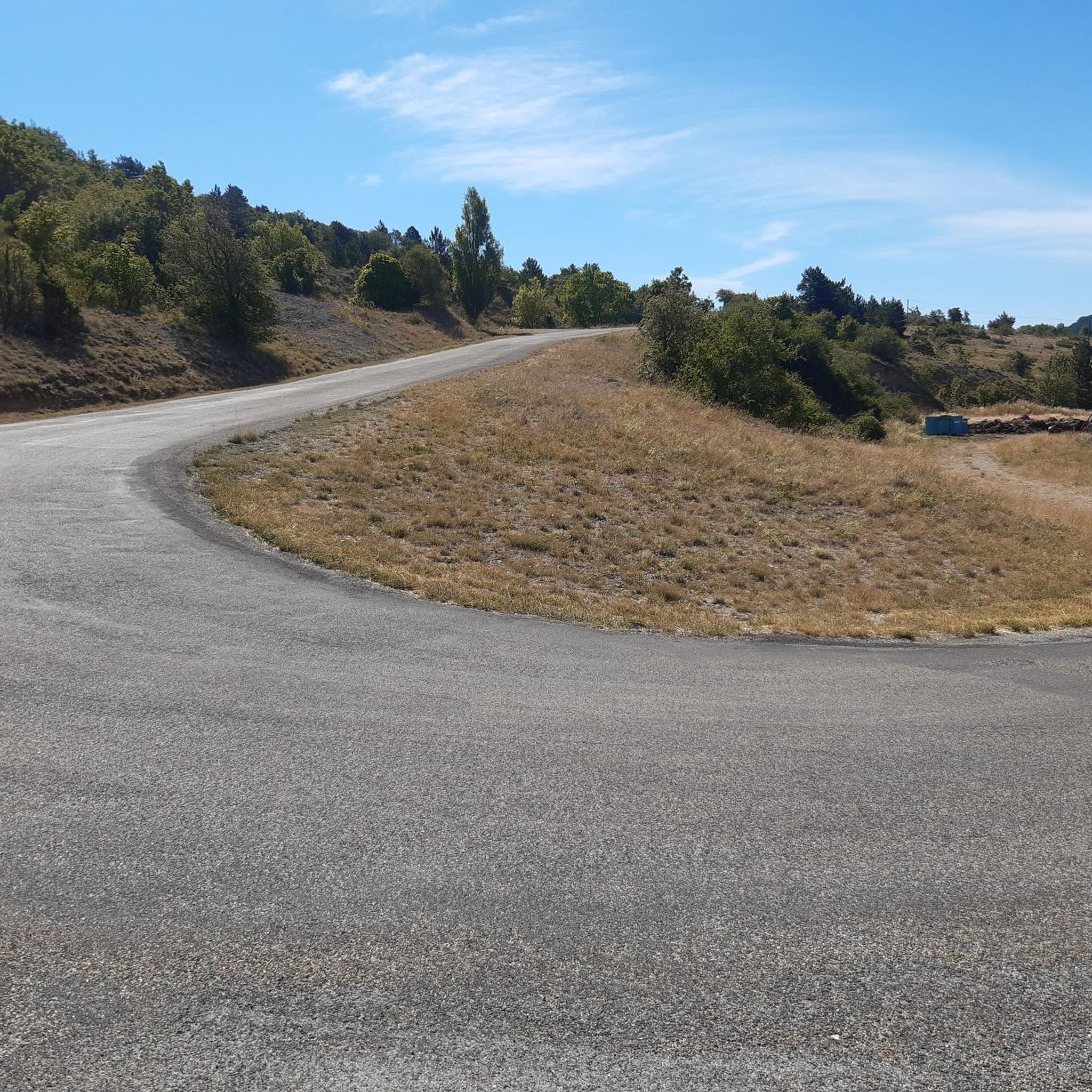
Cycling around Bézaudun-Sur-Bîne
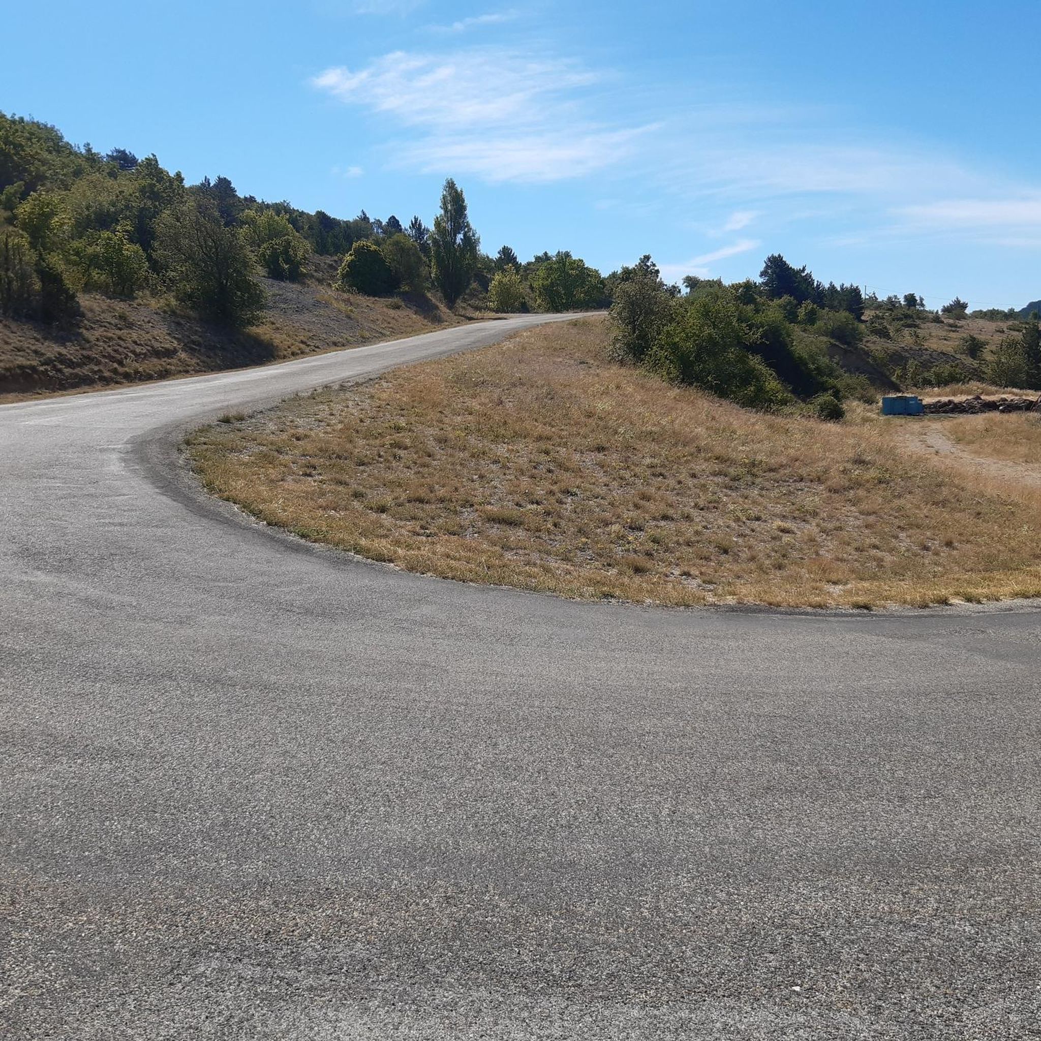
Hiking around Bézaudun-Sur-Bîne
MTB Trails around Bézaudun-Sur-Bîne

Gravel biking around Bézaudun-Sur-Bîne


Tips from the Community

The return route is impossible to find. It is recommended to retrace your steps, as the route indicates a 50% elevation gain at the end after a full-circle climb across the southern savannah. Otherwise, the view of the Veyou and the surrounding area is extraordinary.
1
0

A beautiful little pass under the gaze of the three beaks
0
1

Located just under the Trois Becs, the Col de la Chaudière peaks at an altitude of 1,047 meters. It offers a clear view of the Drôme Provençale. The climb is gradual on both sides, whether from the Saillan side or from Bourdeaux.
2
0

Beautiful mountain, the ridges in spring are grassy with flowers and magnificent views, hike done before the summer pastures (because pastures and patou)
1
0

Bourdeaux is a charming village crossed by Le Roubion. Here you will find many shops and artisans.
1
0

Beautiful mountain walk over the 3 peaks of the Drome with views to the Alps, Rhone Valley and Mont Ventoux 👌🏻
3
0

has a bike repair shop and bike rental at the same time
1
0
Frequently Asked Questions
How many running routes are available in Bézaudun-Sur-Bîne?
Bézaudun-Sur-Bîne offers a wide selection of running routes, with nearly 130 different trails to explore. These routes cater to various fitness levels, ranging from easy paths to challenging mountain runs.
What kind of terrain can I expect on the jogging routes in Bézaudun-Sur-Bîne?
The region is characterized by diverse terrain, including mountainous landscapes, river valleys, and a network of pedestrian and equestrian trails. You'll encounter significant elevation changes, especially in areas like the Montagne de Couspeau, which ranges from 400 to 1,547 meters. Expect varied backdrops from dry Mediterranean vegetation to montane fir forests.
Are there any easy or beginner-friendly running routes in the area?
Yes, while many routes offer a challenge, there are a couple of easier options available. For instance, the area around the tranquil Bîne river provides a peaceful and verdant environment that could include more gentle paths suitable for beginners. Overall, 2 routes are classified as easy.
Can I find challenging running trails for advanced runners?
Absolutely. Bézaudun-Sur-Bîne is ideal for advanced runners seeking a challenge. Many trails lead to high points like the Grand Delmas, offering strenuous uphill climbs and rewarding views. There are 71 routes classified as difficult, such as the Ascent to the Trois Becs – Le Veyou loop from La Chaudière, which features significant elevation gain over 6.3 km.
Are there any circular running routes in Bézaudun-Sur-Bîne?
Yes, many of the running paths in Bézaudun-Sur-Bîne are circular, allowing you to start and finish at the same point. A popular moderate option is the Bourdeaux Village loop from Bézaudun-sur-Bîne, which is 10.9 km long and explores the local village surroundings. For a more challenging circular run, consider the Grand Delmas loop from Col du Gourdon, spanning 20.5 km through mountainous terrain.
What natural landmarks or scenic viewpoints can I see while running?
The region is rich in natural beauty. You can encounter impressive peaks like Le Veyou, Les Trois Becs, and Grand Delmas, which offer rewarding views after a climb. The Rocher de la Laveuse is another notable natural monument. The Montagne de Couspeau itself provides scenic backdrops with its contrasting vegetation.
Are the running trails in Bézaudun-Sur-Bîne suitable for families?
While the guide doesn't specifically list 'family-friendly' routes, the presence of easy and moderate trails suggests options for families. Look for routes with less elevation gain and shorter distances, particularly those exploring village surroundings or along the Bîne river, which tend to be more accessible.
Are dogs allowed on the running trails?
The guide data does not specify restrictions regarding dogs on trails. Generally, in rural areas of France, dogs are often permitted on hiking and running trails, especially if kept on a leash. However, it's always advisable to check local signage or specific park regulations for any protected areas you plan to visit.
Is there public transport access to the trailheads in Bézaudun-Sur-Bîne?
Information on specific public transport links to trailheads is not detailed in the provided data. Bézaudun-Sur-Bîne is a commune in a rural, mountainous area, so public transport options might be limited. It's generally recommended to plan for personal transportation to reach many of the trail starting points.
What do other runners enjoy most about jogging in Bézaudun-Sur-Bîne?
The running routes in Bézaudun-Sur-Bîne are highly rated by the komoot community, with an average score of 4.5 stars from over 50 reviews. Runners often praise the varied terrain, the challenging climbs leading to spectacular views, and the natural immersion offered by the diverse landscapes and wildlife. Over 1600 runners have used komoot to explore the area's trails.
What is the best season for running in Bézaudun-Sur-Bîne?
Bézaudun-Sur-Bîne offers outdoor activities throughout the year. Spring and autumn generally provide pleasant temperatures for running, with vibrant flora or beautiful fall colors. Summer can be warm, especially at lower altitudes, so early morning or late afternoon runs are advisable. Winter running is possible, particularly on lower trails, but higher mountain paths may be subject to snow or ice.
Are there any historical sites or points of interest along the running routes?
Yes, the region has historical significance. The Huguenots Way (GR965), a historical long-distance hiking trail, traverses the commune and is suitable for longer jogs. Additionally, a hiking loop passes by the foot of the Tower of Bézaudun, the only remnant of a 13th-century castle and an old Protestant stronghold, offering a mix of history and natural beauty.
Most popular routes around Bézaudun-Sur-Bîne
Most popular attractions around Bézaudun-Sur-Bîne

Get inspired with the komoot mobile app


Explore more
Browse the best Running Trails & Routes in other regions.
