The best MTB trails around Saint-Vérand
4.4
(245)
1,113
riders
129
rides
Mountain bike trails around Saint-Vérand are situated within the Queyras Regional Nature Park in the Southern Alps, characterized by a mountainous backdrop and varied terrain. The region features singletrack paths, rock faces, rock gardens, and alpine sections, providing options for different skill levels. This high-altitude area, with the village itself at 2,042 meters, offers a landscape composed of woods, meadows, and river valleys, alongside more challenging mountain ascents.
Best mountain bike trails around Saint-Vérand
- The most popular mountain bike trail…
Last updated: June 27, 2026
5.0
(1)
70
riders
43.0km
04:09
1,040m
1,040m
Hard mountain bike ride. Very good fitness required. Advanced riding skills necessary. Some portions of the route may require you to push your bike.
4.2
(5)
39
riders
38.4km
03:51
1,010m
1,010m
Hard mountain bike ride. Very good fitness required. Advanced riding skills necessary.

Sign up for free
5.0
(3)
15
riders
32.2km
03:26
1,000m
1,000m
Hard mountain bike ride. Very good fitness required. Advanced riding skills necessary.
3.5
(4)
12
riders
24.9km
02:31
750m
740m
Moderate mountain bike ride. Good fitness required. Advanced riding skills necessary.
5.0
(2)
6
riders
Moderate mountain bike ride. Good fitness required. Suitable for all skill levels.
Get access to more routes and recommendations from other explorers.
Sign up for free
Already have an account?
Our route recommendations are based on thousands of hikes, rides, and runs completed by other people on komoot.
Start today with a free account
Your next adventure awaits.
Login or Signup

Tips from the Community

Although the pass is located in France and is not extremely high, its name translates to "Siberia Pass". The name goes back to the often very cold, snow-rich winds and the harsh weather conditions in winter.
1
0
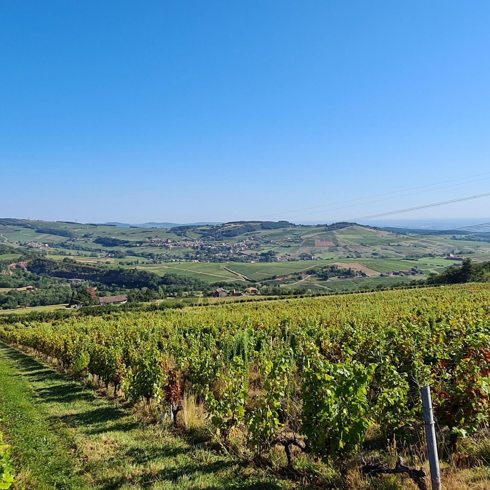
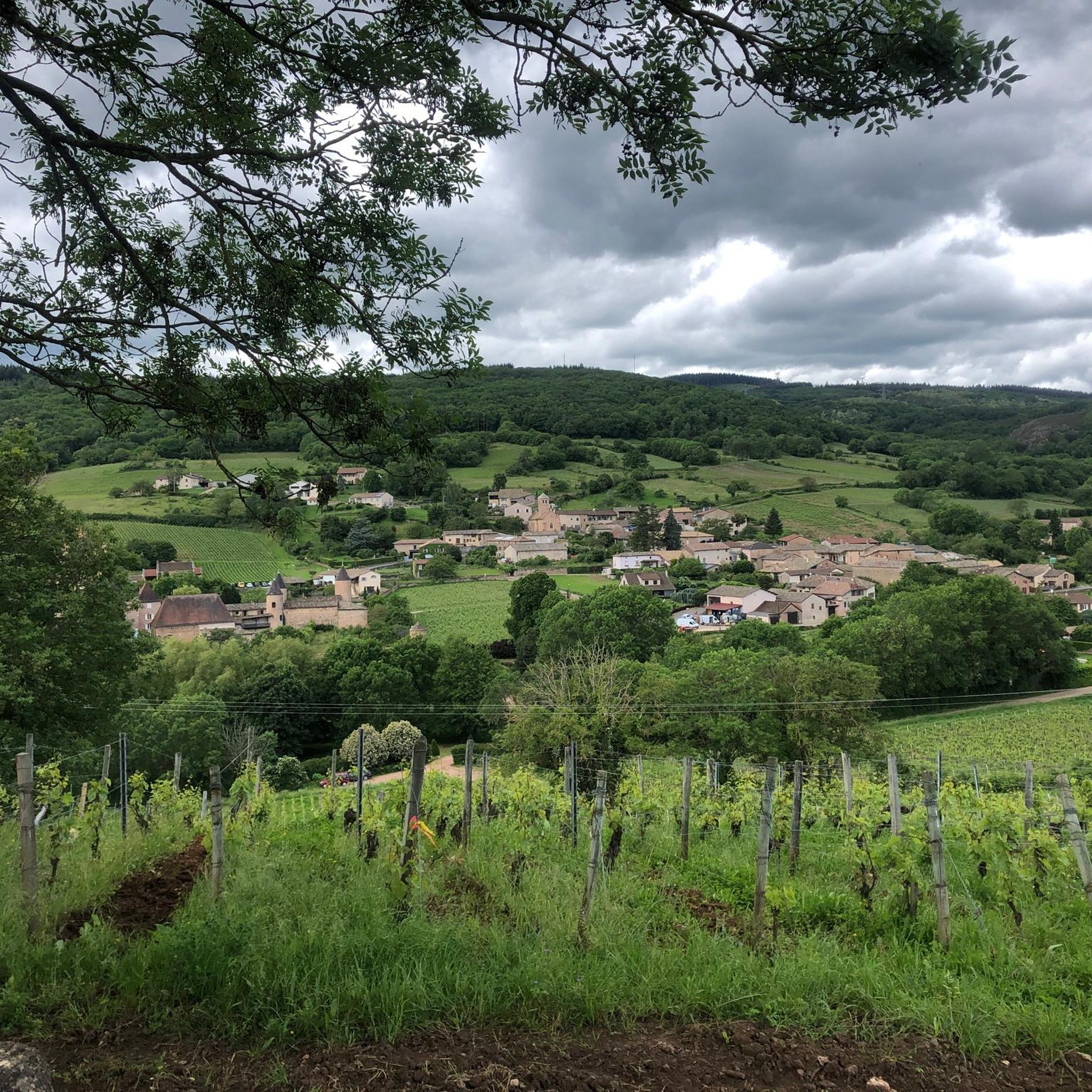
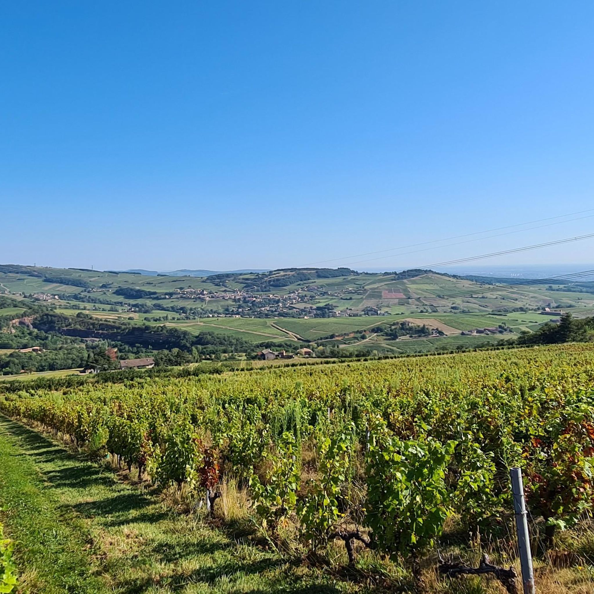
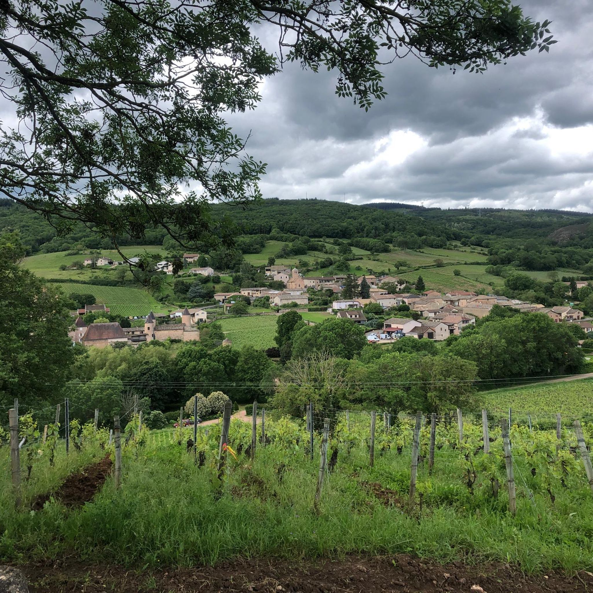
The viewpoint is located in the well-known Beaujolais wine region, in the municipality of Chénas. It is an old stone ruin (historically often referred to as Cabane des Chasseurs or hunter's hut), which has been equipped with a modern metal staircase and a viewing platform. The ruin is located at 515 meters above sea level and offers hikers a spectacular 360-degree panoramic view of the surrounding vineyards and valleys of the region.
2
0
You have to be very lucky to see Mont Blanc from here, but the journey is the destination.
1
0
The Col de Gerbet (612 m) is an idyllic mountain pass in the French wine-growing region of Beaujolais. Depending on the starting point, various roads with little traffic lead up to the pass via the D137. From Juliénas (south-east approach): This route is 7.3 kilometers long. It overcomes 342 meters of altitude with a steady, moderate gradient of 4.7% on average. The road winds through shady forest sections. From La Croix Blanche (west approach): A tougher variant 4.5 kilometers long. Here you conquer 270 meters of altitude with an average gradient of 6% and ramps of up to 11%.
1
0

A few hundred meters from the church of Saint-Amour-Bellevue, this orientation table takes advantage of its position to open up a wide panorama of the vineyards and the Saône which flows in the distance.
1
0

The summit of Mont Pouilly!
0
0

Alone in the world at the end of this path with an incredible view
0
0
Magnificent view after a nice, not very technical descent
1
0
Frequently Asked Questions
What kind of terrain can I expect on mountain bike trails around Saint-Vérand?
The mountain bike trails around Saint-Vérand, located within the Queyras Regional Nature Park, offer a diverse range of terrain. You'll encounter singletrack paths, challenging rock faces, and rock gardens, as well as gravel and alpine sections. The landscape varies from woods and meadows to river valleys and more demanding mountain ascents, providing a rich and varied riding experience.
How many mountain bike trails are available in the Saint-Vérand area?
There are over 120 mountain bike trails available around Saint-Vérand. These routes cater to various skill levels, with options ranging from moderate to difficult, ensuring there's something for every rider.
Are there any easy or family-friendly mountain bike trails in Saint-Vérand?
Yes, while many trails are moderate to difficult, there are approximately 12 easy mountain bike routes suitable for beginners or families looking for a less strenuous ride. The region's diverse landscape includes meadows and less challenging paths that can be enjoyed by all.
What are some challenging mountain bike routes for experienced riders?
For experienced riders seeking a challenge, Saint-Vérand offers numerous difficult routes. One such option is the View of Solutré-Pouilly – Les hauts de Jullié loop from Juliénas, a 42.6 km trail with significant elevation gain. Another demanding route is the Col de la Sibérie, 638 m – Croix de Crochet - 697 m loop from Juliénas, which is 38.4 km long and features substantial climbing and descending.
Are there circular mountain bike routes available in Saint-Vérand?
Yes, many of the mountain bike trails around Saint-Vérand are designed as loops, allowing you to start and finish in the same location. For example, the Mount Pouilly – View of Solutré-Pouilly loop from Juliénas is a 42.8 km trail that offers a comprehensive circular experience through mountainous terrain.
What is the best time of year for mountain biking in Saint-Vérand?
The warmer months are generally the best time for mountain biking in Saint-Vérand. While the region offers winter activities like snowshoeing, the mountain bike trails are most accessible and enjoyable when free of snow, typically from late spring through early autumn.
What do other mountain bikers say about the trails in Saint-Vérand?
The mountain bike trails in Saint-Vérand are highly regarded by the komoot community, holding an average rating of 4.4 stars from over 200 reviews. Riders often praise the varied terrain, the stunning mountainous backdrop, and the well-maintained paths that make for an exceptional outdoor experience.
Are there any notable landmarks or attractions to see along the mountain bike routes?
Yes, the Saint-Vérand area is rich in natural beauty and historical sites. You can explore the picturesque village of Saint-Vérand itself, known for its traditional chalets. Nearby attractions include the impressive Roche de Solutré and the Vergisson Rock. For panoramic views, consider routes that pass near viewpoints like the View of Mâcon and the Saône from the François Mitterand bridge.
Can I find mountain passes on the trails around Saint-Vérand?
Absolutely. The mountainous landscape of Saint-Vérand features several passes that are often incorporated into mountain bike routes. You might encounter passes such as Col de la Grange du Bois, Col de la Sibérie, 638 m, or Col du Fût d'Avenas, offering challenging ascents and rewarding descents.
What kind of wildlife might I encounter while mountain biking in Saint-Vérand?
The Queyras Regional Nature Park is home to diverse flora and fauna. While mountain biking, you might have the chance to observe local wildlife such as marmots, chamois, and ibex, especially in quieter, higher-altitude sections of the trails.
Are there any moderate mountain bike trails that offer good views?
Yes, there are many moderate trails that provide excellent views without being overly strenuous. The Col de la Sibérie, 638 m – Col de Gerbet loop from Juliénas is a moderate 25.5 km route that takes you through scenic parts of the region, offering beautiful vistas along the way.
What is the typical elevation gain on mountain bike trails in Saint-Vérand?
The elevation gain on mountain bike trails in Saint-Vérand can vary significantly depending on the route's difficulty. For instance, a difficult trail like the View from Montagne Rémont – Madonna Chapel loop from Juliénas, which is 30.7 km long, involves nearly 1000 meters of elevation gain, providing a substantial workout and rewarding views.
Most popular routes around Saint-Vérand
Most popular attractions around Saint-Vérand

Get inspired with the komoot mobile app


Explore more
Browse the best MTB trails in other regions.
