Top 6 Mountain Passes around Corneilla-De-Conflent
Best mountain passes around Corneilla-De-Conflent offers access to the Conflent region's diverse mountain landscape. This area, situated on the northern slopes of the Canigou massif, provides a base for exploring various mountain passes within the Pyrenees. The terrain is characterized by hilly and verdant features, offering opportunities for outdoor activities. These passes are known for their scenic routes and historical significance.
Best mountain passes around Corneilla-De-Conflent
- The most popular mountain passes is Jou Pass, a mountain pass that peaks…
Last updated: July 10, 2026
Jou Pass
Highlight • Mountain Pass
Translated by Google •
Tip by

Pla Guillem
Highlight • Viewpoint
Translated by Google •
Tip by

Sign up now to discover places like this
Get recommendations on the best single tracks, peaks, & plenty of other exciting outdoor places.
Sign up for free
Voltes Pass
Highlight • Mountain Pass
Translated by Google •
Tip by

Collade de la Roquette
Highlight • Mountain Pass
Translated by Google •
Tip by
Col de Segalès
Highlight • Mountain Pass
Translated by Google •
Tip by
Sign up for free to discover even more mountain passes around Corneilla-De-Conflent.
Sign up for free
Already have an account?
Start today with a free account
Your next adventure awaits.
Login or Signup

Tips from the Community

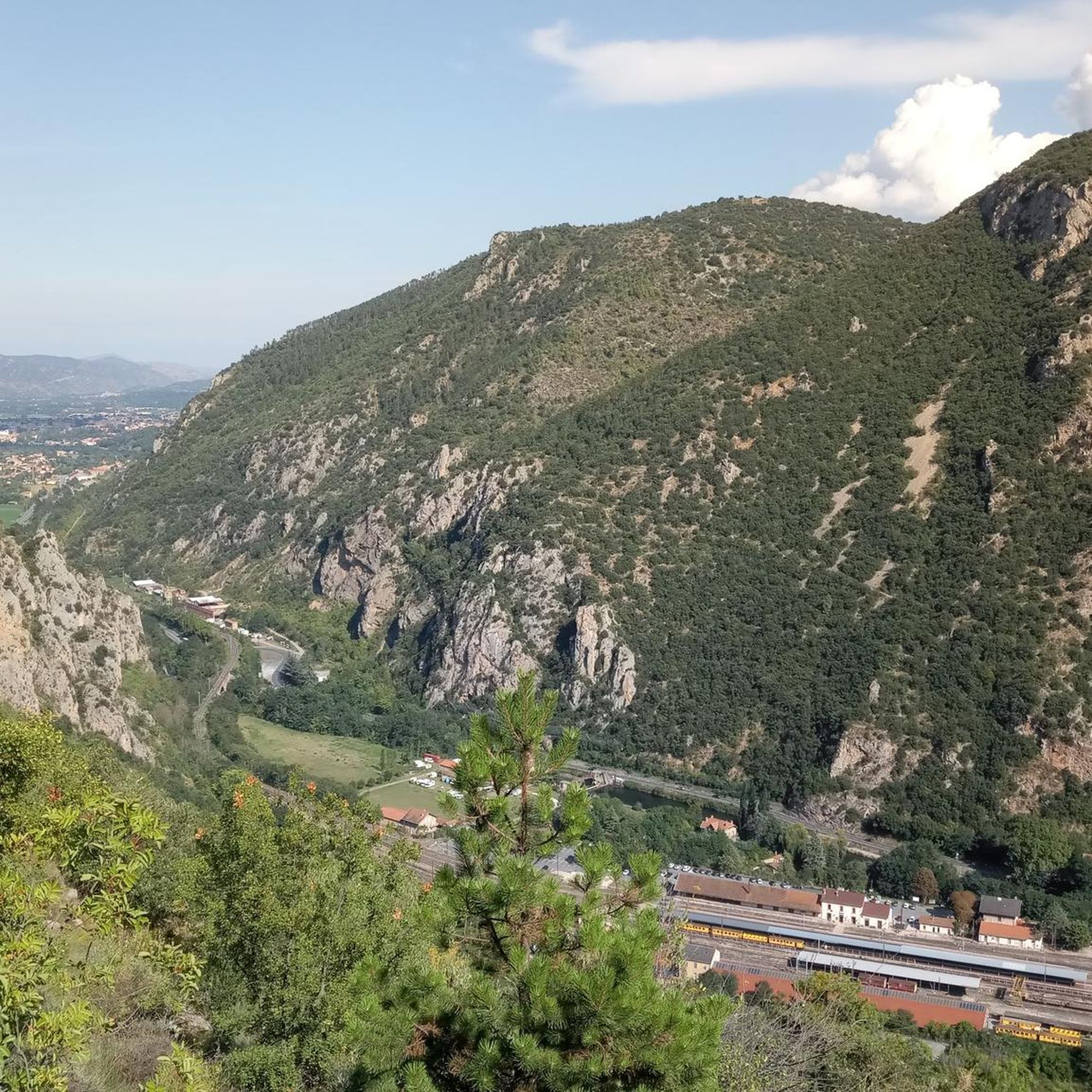
The Col de Jou from Villefranche de Conflent is a climb in the French Pyrenees. This climb is 11.4 kilometers long and has a positive elevation gain of 687 meters. The Col de Jou from Villefranche de Conflent has an average gradient of 6%.
15
0

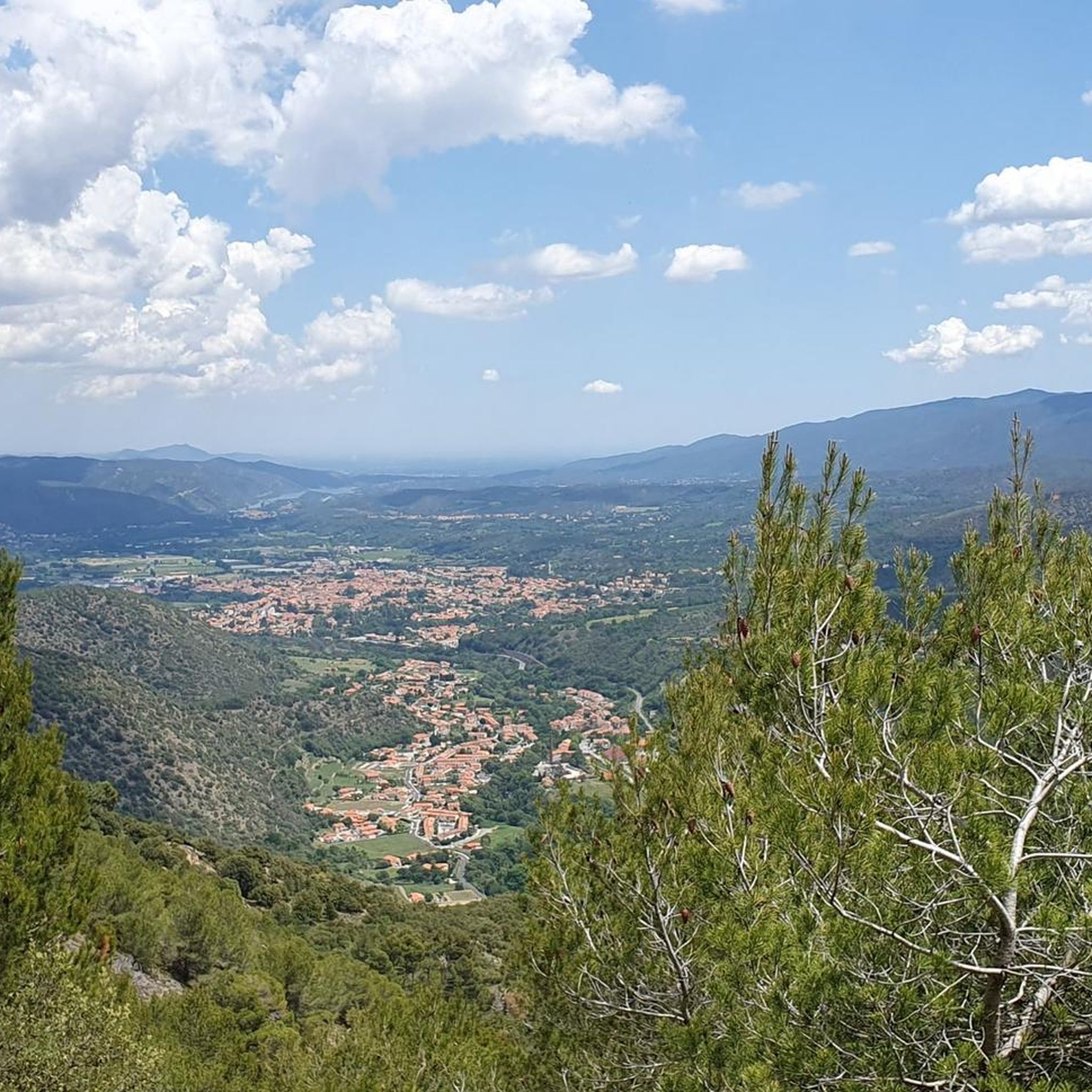
A fairly difficult hike all the same for an occasional hiker because of the very rough ground and many steps. We tend to believe that we are marking time on the spot. Hiking equipment and water are essential. The descent is just as challenging. 960m of D+ Constant. Breathtaking viewpoint
0
0

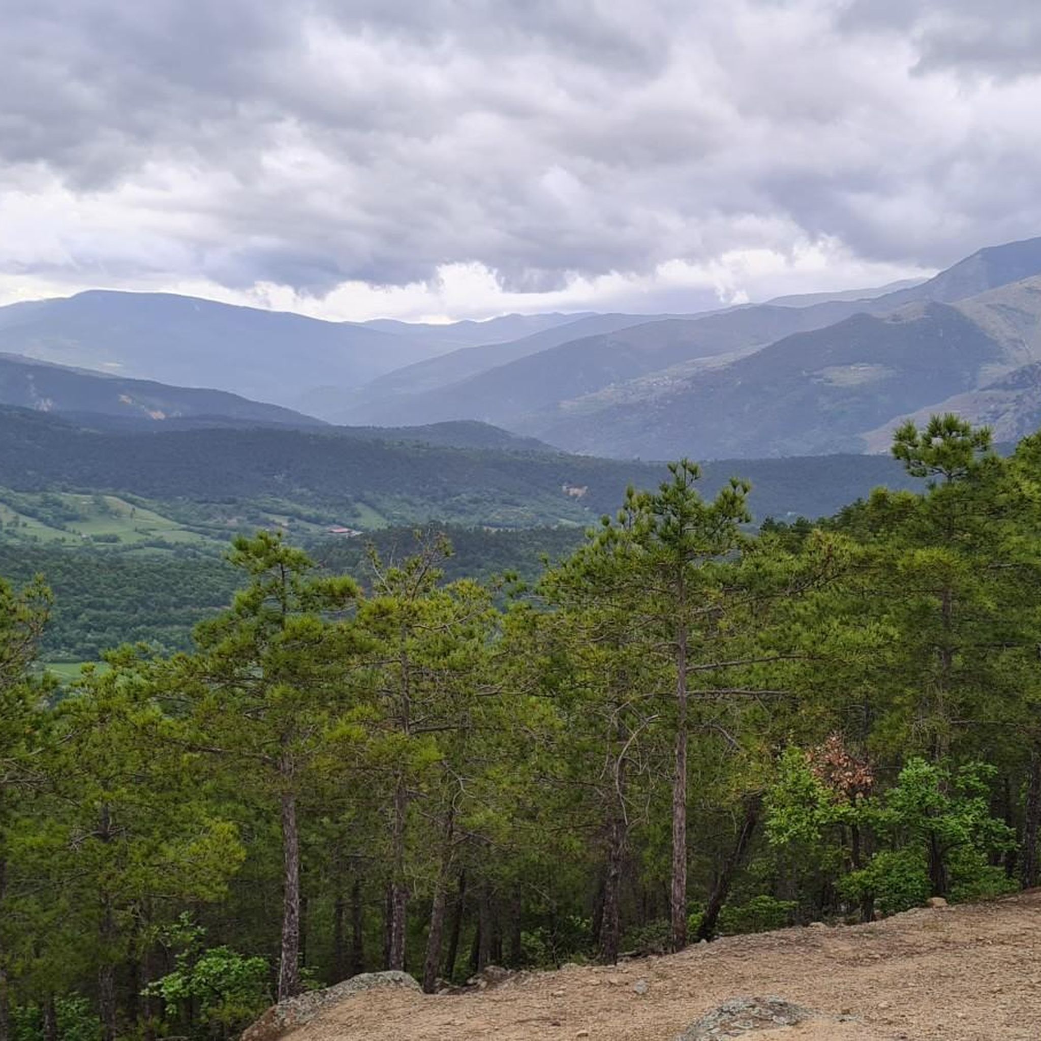
Col des Voltes From here it is another 3 km to the refuge des Cortalets
1
0

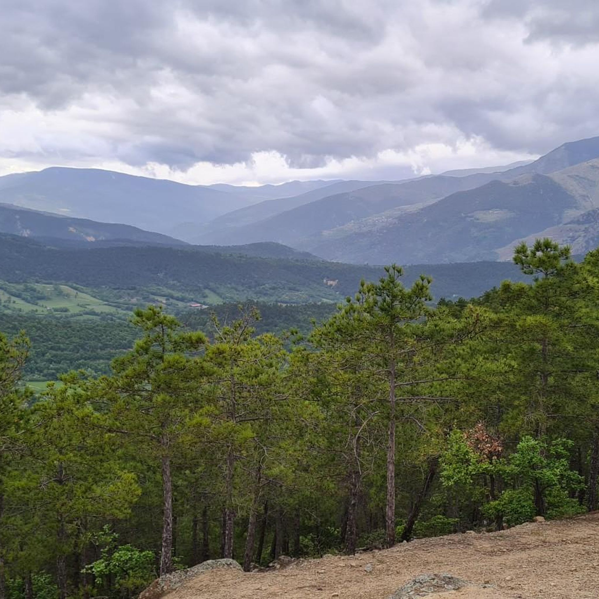
This walking pass forms what we call a saddle. And we understand why by looking at the map, since it is located at the end of an elongated projection of the massif. It allows you to go back down to the country of Conflent or to continue around the Canigou massif.
0
0
The Col de Jou peaks at an altitude of 1,125 meters. It is a well-known rallying point for local hikers. Indeed, the GR 10 passes through there, and it is the starting point for many hikes including the one that connects Canigou peak.
1
0

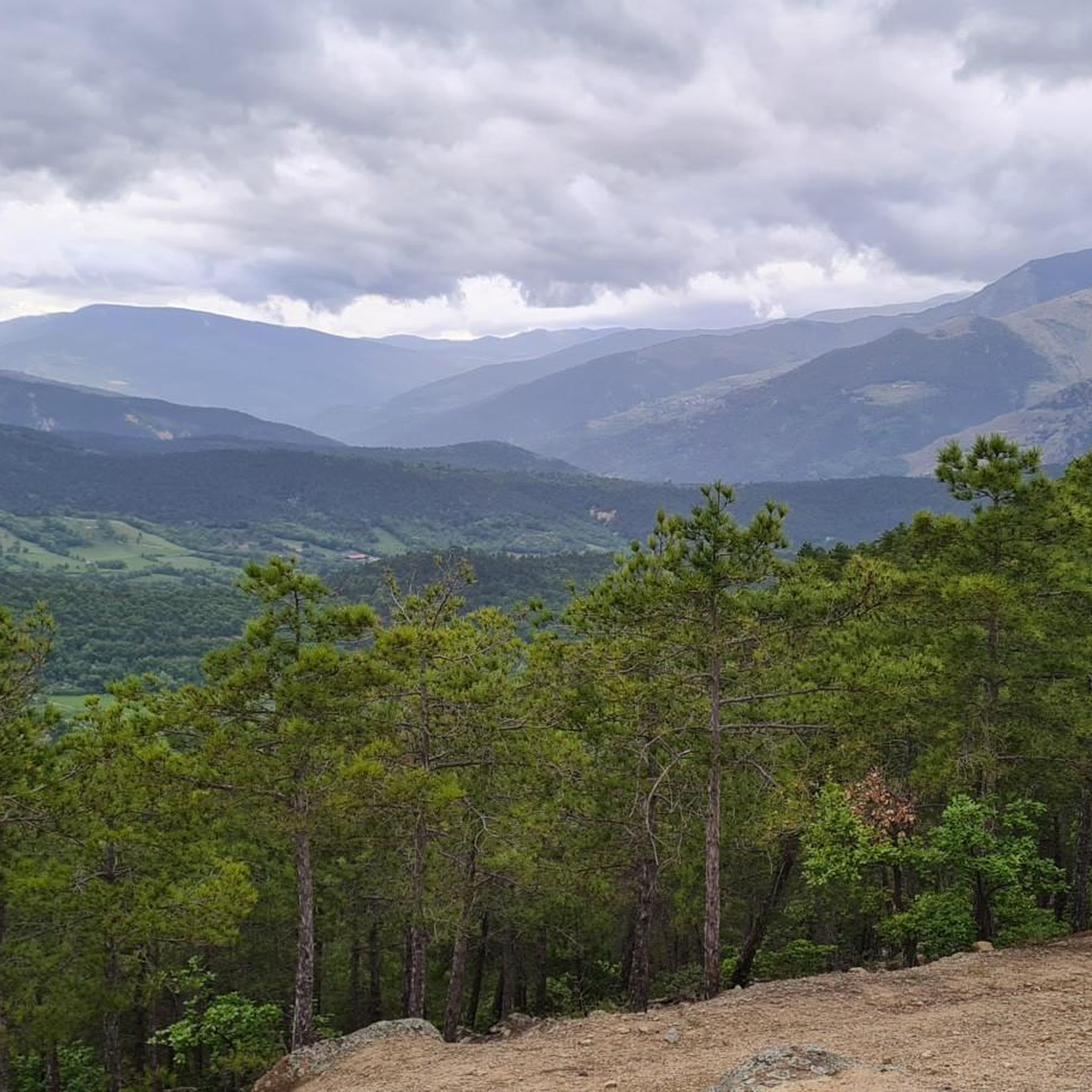
High point between Conflent and Vallespir. Magnificent view that deserves. Possible to descend by the GR or by the 4x4 path towards Prats de Mollo.
1
0

Pla Guillem is 2,290 meters above sea level. It is located on the Canigou tour between the Miriailles refuge and the village of Prats-de-Mollo-la-Prest. There is also a path that leads to a beautiful ridge made up of peaks around 2,700 meters above sea level.
0
0
Pla Guillem is located at an altitude of 2,290 meters. It is located on the Canigou tour between the Miriailles refuge and the village of Prats-de-Mollo-la-Preste. There is also a path that leads to a beautiful ridge made up of peaks around 2,700 meters above sea level.
1
0
Frequently Asked Questions
What are some of the most notable mountain passes accessible from Corneilla-de-Conflent?
The region around Corneilla-de-Conflent offers access to several significant mountain passes. Among them, Jou Pass is a popular starting point for hikes to Canigou peak. Other notable passes include Col de la Perche, known for its views towards Canigou, and Col de Banyuls, which offers both scenic beauty and historical significance.
What kind of views can I expect from the mountain passes in this region?
Many passes in the area offer magnificent views. From Pla Guillem, located at 2,290 meters, you can enjoy expansive panoramas between Conflent and Vallespir. Col de la Perche provides fantastic views with the majestic Canigou in the background, while Coll d'Arès also boasts a magnificent landscape at its summit.
Are there challenging mountain passes for experienced hikers or cyclists?
Yes, the region features several challenging passes. Voltes Pass, at 1838m altitude, is described as a fairly difficult hike due to very rough ground and many steps, requiring appropriate hiking equipment. The climb to Jou Pass from Villefranche de Conflent is 11.4 kilometers long with a positive elevation gain of 687 meters and an average gradient of 6%.
What is the historical significance of some of these mountain passes?
Col de Banyuls holds particular historical importance. It features information and memorial plaques commemorating those who fled to France via this pass during the Franco regime, offering a poignant historical context alongside its natural beauty.
What outdoor activities can I do near these mountain passes?
The mountain passes around Corneilla-de-Conflent are excellent for various outdoor activities. You can find numerous hiking trails, including long-distance routes like the GR 10 which passes through Jou Pass. The area is also popular for cycling and gravel biking, with scenic routes through the Pyrenean landscape.
Are there any passes that are good starting points for longer hikes, such as to Canigou peak?
Yes, Jou Pass is a well-known rallying point and a significant starting point for many hikes, including those leading to the mythical Pic du Canigou. It's also an obligatory passage to reach the Tower of Goa, which offers a 360° view.
What are the characteristics of Col de la Perche?
Col de la Perche culminates at 1,579 meters on the La Perxa plateau. It marks the geological boundary between the Conflent and Cerdagne regions. From this pass, visitors can enjoy fantastic views with the majestic Canigou in the background, making it a key access point to high mountain areas.
What should I know about Col de Puymorens?
Col de Puymorens is a major route through the Pyrenees. While it has a relatively moderate gradient, some sections can experience heavy traffic due to its location before the road to Andorra branches off. There is also a tunnel with an electronic toll system that is not passable by bicycle. Despite this, many visitors report 'unreal views' and 'bliss roads' in less congested areas.
What is the altitude of some of the higher passes in the area?
Several passes reach significant altitudes. Pla Guillem is located at 2,290 meters, Collade de la Roquette culminates at 2,080 meters, and Voltes Pass is at 1838m altitude.
What do visitors appreciate most about the mountain passes around Corneilla-de-Conflent?
Visitors to the mountain passes around Corneilla-de-Conflent particularly appreciate the challenging climbs, scenic routes, and historical paths. The area provides diverse experiences, from breathtaking viewpoints like Pla Guillem to significant hiking hubs like Jou Pass, all set within the beautiful Pyrenean landscape.
Are there any passes that offer good panoramas of the valleys?
Yes, Collade de la Roquette, culminating at 2,080 meters, offers pretty panoramas of the valleys it separates. Similarly, Col de Segalès provides views that allow you to go down to the Conflent country or continue around the Canigou massif.
Most popular routes around Corneilla-De-Conflent
Most popular attractions around Corneilla-De-Conflent

Get inspired with the komoot mobile app


Explore more
See even more epic mountain passes by checking out these guides around Corneilla-De-Conflent:
