The best MTB trails around Saint-Léger-Sur-Vouzance
4.6
(13)
69
riders
8
rides
Mountain biking around Saint-Léger-Sur-Vouzance offers routes through the Allier department of the Auvergne-Rhône-Alpes region. The area is characterized by the Vouzance River and a landscape of gentle hills and river valleys, with altitudes ranging from approximately 234m to 302m. Situated at the borders of the Bourbonnais and Brionnais regions, the terrain features a mix of agricultural lands and wooded areas. This environment provides varied paths suitable for exploration by mountain bike.
Best mountain bike trails around Saint-Léger-Sur-Vouzance
- The most popular…
Last updated: July 11, 2026
16
riders
45.1km
02:14
70m
70m
Moderate mountain bike ride. Good fitness required. Suitable for all skill levels.
3.8
(4)
7
riders
Moderate mountain bike ride. Good fitness required. Suitable for all skill levels.

Sign up for free
4.8
(5)
23
riders
Easy mountain bike ride. Great for any fitness level. Suitable for all skill levels.
5.0
(1)
2
riders
38.2km
02:43
410m
410m
Moderate mountain bike ride. Good fitness required. Suitable for all skill levels.
5.0
(1)
6
riders
36.1km
02:22
140m
140m
Moderate mountain bike ride. Good fitness required. Suitable for all skill levels.
Get access to more routes and recommendations from other explorers.
Sign up for free
Already have an account?
Our route recommendations are based on thousands of hikes, rides, and runs completed by other people on komoot.
Start today with a free account
Your next adventure awaits.
Login or Signup


Tips from the Community

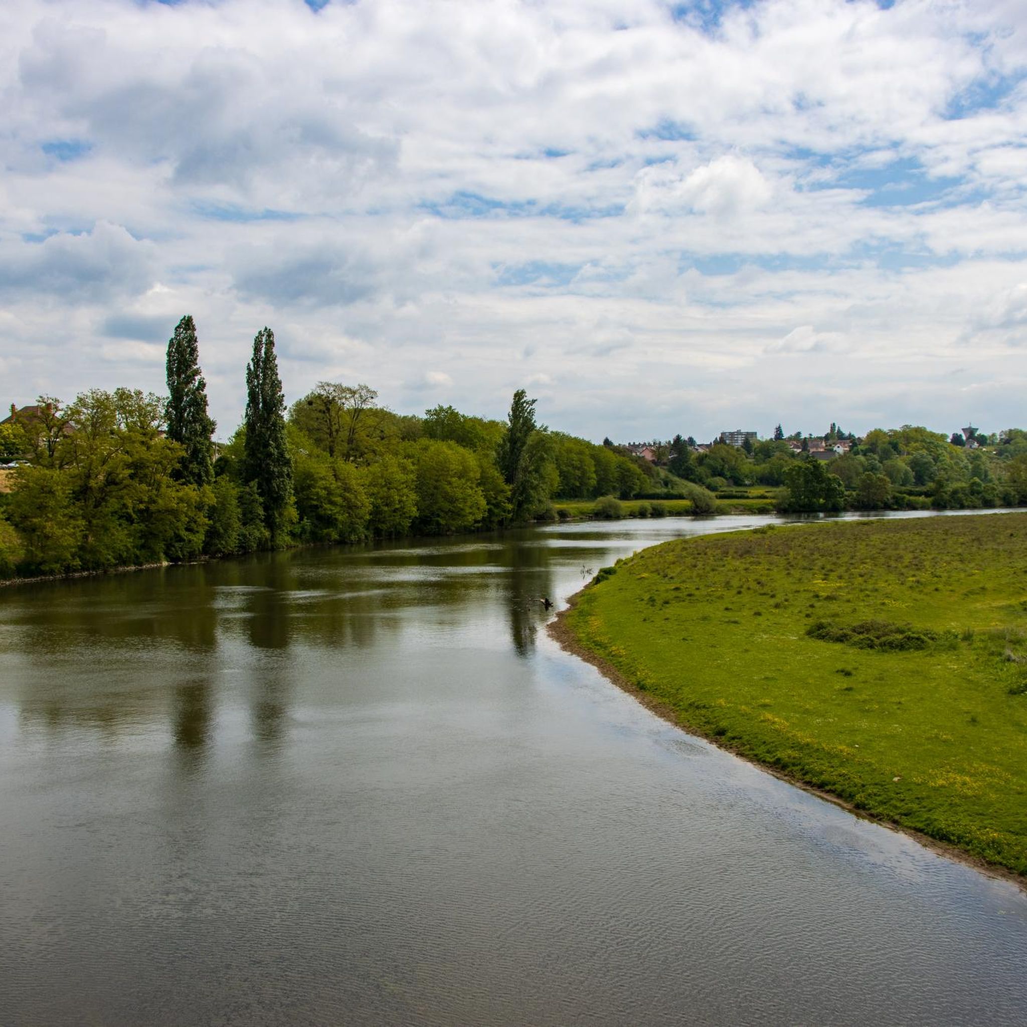
Marcigny is a historic French small town in the historical region of Burgundy. It has just under 1,700 inhabitants and is picturesquely located in the southwest of the Saône-et-Loire department, in the vast river landscape of the Loire. It is nestled in the gently rolling Brionnais, which is known for its Romanesque art, pastures, and the famous white Charolais cattle. The town developed from 1050 onwards around an important Benedictine priory.
0
0

A pleasant stretch that runs alongside the Canal du Centre between Paray-le-Monial and Digoin.
0
0

It's so beautiful that words are insufficient
0
0

simply impressive! The city is also beautiful. We had a good meal here!
0
0

The canal is a water bridge over the Loire. The structure is fascinating because of its rarity. At the same time, it is a pedestrian and cyclist crossing that offers a beautiful view.
0
0

The Pont-Levis is a bascule bridge that crosses the beginning of the disused Rigole de l'Arroux (Arroux gully).
2
0

This priory church is classified as a historic monument. It was built between the end of the 11th century and the beginning of the 12th. Its octagonal bell tower is characteristic and the church is among the most beautiful expressions of Romanesque art in the department. The sculptures are particularly numerous.
1
0
The Montceau-L'Étoile marsh offers an immersive discovery of the fauna and flora present in this space. Along the path, two observatories provide the opportunity to take a closer look at what nature is doing in this beautiful place.
1
0
Frequently Asked Questions
How many mountain bike trails are available around Saint-Léger-Sur-Vouzance?
There are 9 mountain bike routes available around Saint-Léger-Sur-Vouzance, offering a mix of 4 easy and 5 moderate trails. These routes traverse the gentle hills, river valleys, and agricultural lands characteristic of the Allier department.
What kind of terrain can I expect on mountain bike trails in this region?
The terrain around Saint-Léger-Sur-Vouzance is characterized by gentle hills and river valleys, particularly along the Vouzance River. You'll find a mix of agricultural lands and wooded areas, typical of the Bourbonnais and Brionnais regions. Many routes follow canal paths, offering relatively flat sections, while others include more varied, undulating terrain.
Are there any easy mountain bike trails suitable for beginners or families?
Yes, there are 4 easy mountain bike routes available. A good option for a more relaxed ride is the Pont-Levis on the Arroux – Basilica of Paray-le-Monial loop from Digoin, which is 30.6 km long and combines riverside paths with cultural sights. Another easy route is the Digoin Canal Bridge – Gravel path along the canal loop from Vitry-en-Charollais, offering 31.5 km of canal-side riding.
What are some scenic mountain bike trails in the area?
Many routes offer scenic views, particularly those following the Loire and canal. The The Loire – Digoin Canal Bridge loop from Digoin, for example, provides flat sections with picturesque views of the river and canal. You'll also encounter natural environments with potential for wildlife spotting, such as deer and herons, along the way.
What do other mountain bikers say about the trails around Saint-Léger-Sur-Vouzance?
The mountain bike routes around Saint-Léger-Sur-Vouzance are highly rated by the komoot community, with an average score of 4.5 stars from over 15 reviews. Riders often praise the varied terrain, the peaceful canal paths, and the opportunity to explore the natural beauty of the Allier department.
Are there any longer mountain bike routes for a full day out?
Yes, for a longer ride, consider the The Loire – Digoin Canal Bridge loop from Digoin. This moderate trail spans 52.8 km and typically takes around 2 hours and 37 minutes to complete, offering an extended exploration of the river and canal landscapes.
What interesting landmarks or attractions can I see along the mountain bike trails?
Many routes pass by notable points of interest. You can cycle past the historic Digoin Canal Bridge, explore sections of the Cycle Path on Former Railway Line, or see the Pont-Levis on the Arroux. The Loire Canal Path also offers continuous scenic views.
Are there any challenging mountain bike trails with significant elevation gain?
While there are no 'difficult' rated trails, some moderate routes offer more elevation gain. For instance, the Gravel path along the canal – Digoin Canal Bridge loop from Digoin, a 38.4 km moderate route, features approximately 409 meters of elevation gain, providing a more demanding ride compared to the flatter canal-side paths.
What is the best season for mountain biking in Saint-Léger-Sur-Vouzance?
The region's climate makes spring, summer, and early autumn ideal for mountain biking. During these seasons, the weather is generally pleasant, and the natural environment is at its most vibrant. The gentle terrain also makes it suitable for winter mountain biking, though trail conditions should always be checked for mud or ice.
Are there any circular mountain bike routes?
Yes, all the mountain bike routes listed for the area are circular. This allows for convenient starting and ending points, often returning to the same location. Examples include the Digoin Canal Bridge – Digoin Canal Bridge loop from Digoin, which is 24.3 km long.
Is there public transport access to the mountain bike trails?
While Saint-Léger-Sur-Vouzance is a rural area, the broader Allier department and Auvergne-Rhône-Alpes region have some public transport options. However, direct public transport access to specific trailheads might be limited. It's advisable to check local bus schedules or consider driving to a starting point, especially for routes that begin in nearby towns like Digoin or Vitry-en-Charollais.
Where can I find parking for mountain biking in the area?
Parking is generally available in the villages and towns that serve as starting points for these routes, such as Digoin or Vitry-en-Charollais. Look for designated public parking areas. Given the rural nature of the region, roadside parking near trail access points may also be an option, but always ensure you are parking legally and safely.
Most popular routes around Saint-Léger-Sur-Vouzance
Most popular attractions around Saint-Léger-Sur-Vouzance

Get inspired with the komoot mobile app


Explore more
Browse the best MTB trails in other regions.
