The best running trails around Fontpédrouse
4.4
(72)
9,973
runners
244
runs
Jogging routes around Fontpédrouse traverse the diverse landscapes of the Pyrénées-Orientales department, situated within the Catalan Pyrenees Regional Nature Park. The region features varied terrain, from green mountains to rocky peaks, with steep valleys and impressive geological formations characteristic of the Pyrenees mountain range. The Upper Têt Valley and the dramatic Gorges de Carança also contribute to the area's distinct natural features.
Best jogging routes around Fontpédrouse
- The most popular jogging route is Bastiments y Pic de la Dona -…
Last updated: June 28, 2026
5.0
(1)
231
runners
Hard run. Very good fitness required. Sure-footedness, sturdy shoes and alpine experience required.
180
runners
14.6km
03:09
1,120m
1,130m
Hard run. Very good fitness required. Sure-footedness, sturdy shoes and alpine experience required.

Sign up for free
80
runners
9.60km
02:11
820m
810m
Hard run. Very good fitness required. Sure-footedness, sturdy shoes and alpine experience required.
55
runners
20.4km
03:57
1,460m
1,450m
Hard run. Very good fitness required. Sure-footedness, sturdy shoes and alpine experience required.
39
runners
22.9km
03:55
1,190m
1,190m
Hard run. Very good fitness required. Sure-footedness, sturdy shoes and alpine experience required.
Get access to more routes and recommendations from other explorers.
Sign up for free
Already have an account?
Our route recommendations are based on thousands of hikes, rides, and runs completed by other people on komoot.
Start today with a free account
Your next adventure awaits.
Login or Signup
Popular around Fontpédrouse

The Crossing of the Pyrenees via the GR 10 — Eastern Pyrenees

On wild ridges: Catalonia to Ariège – Hexatrek, Eastern Pyrenees
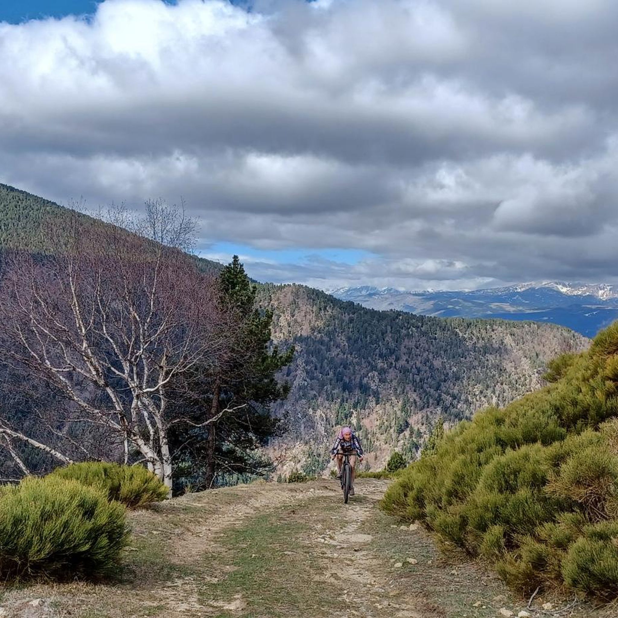
Road Cycling Routes around Fontpédrouse
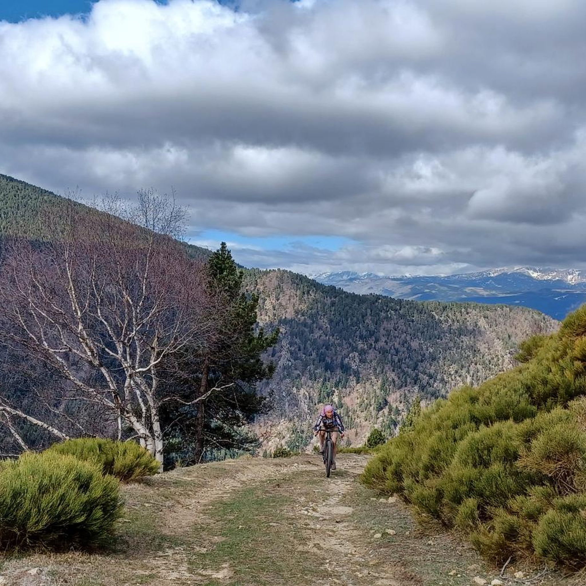
Cycling around Fontpédrouse
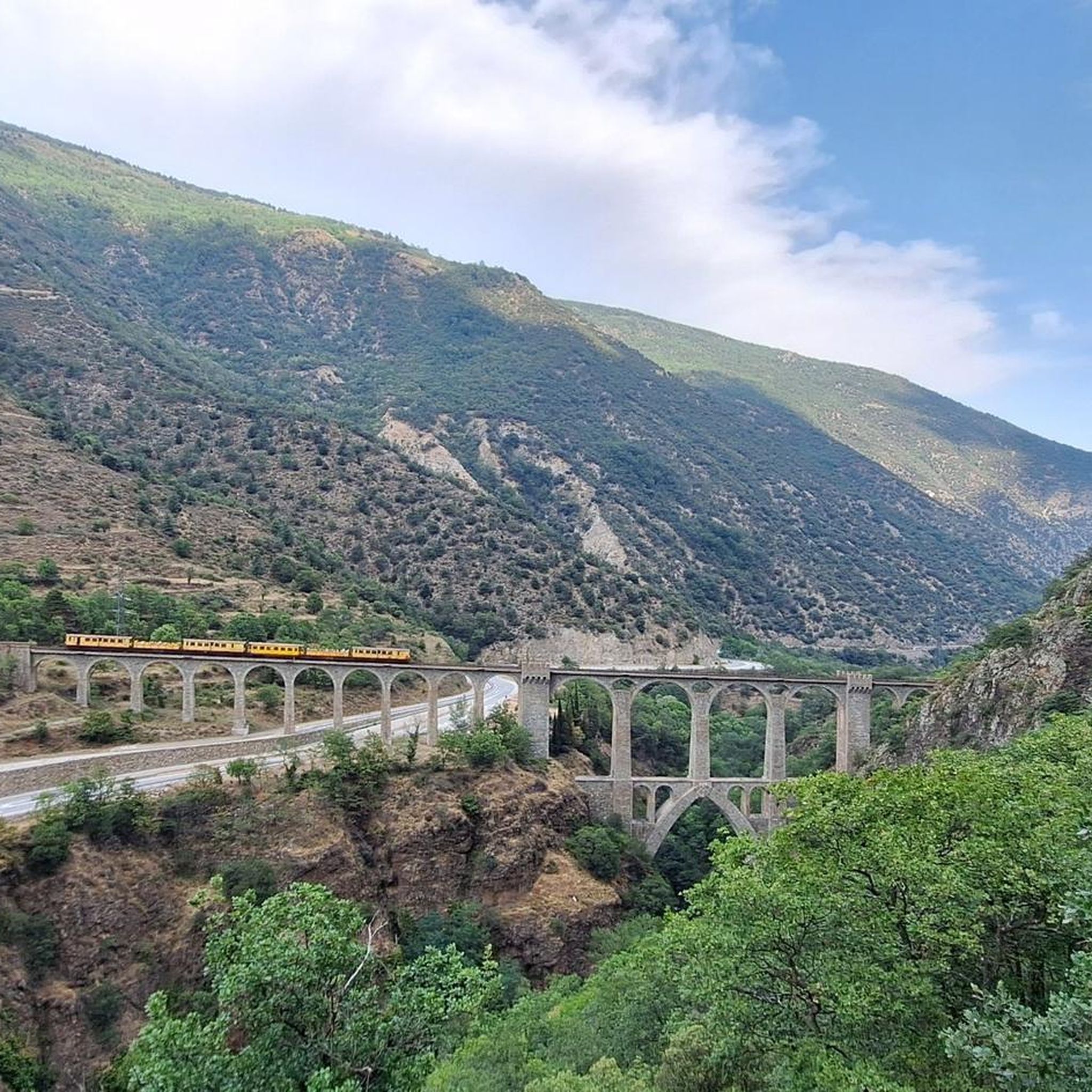
Hiking around Fontpédrouse
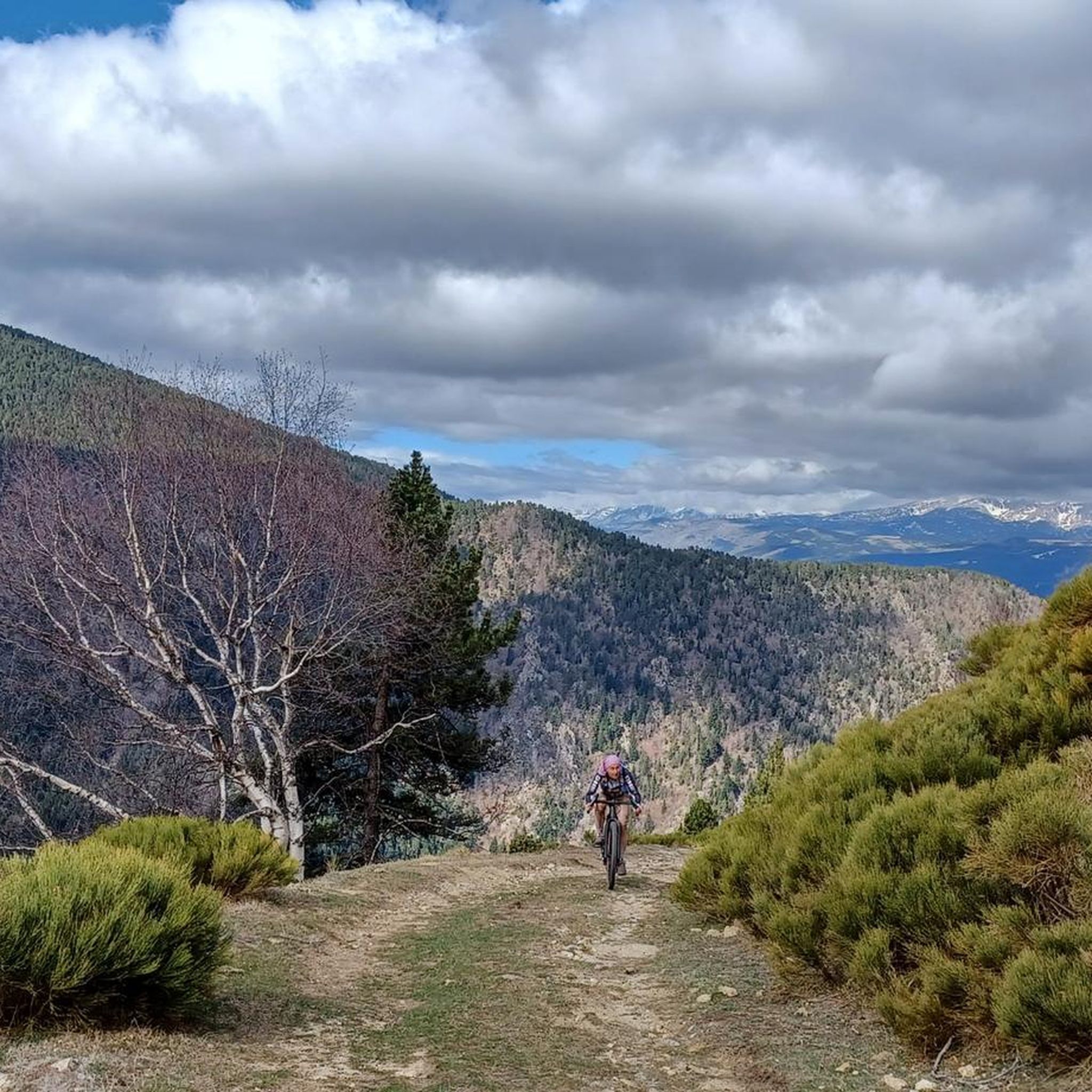
MTB Trails around Fontpédrouse
Gravel biking around Fontpédrouse

Mountain Hikes around Fontpédrouse

Tips from the Community

The ski resort, located on the main ridge of the Pyrenees in Ripollès on the border with France, is also one of the highest mountain passes that you can reach by bike on an asphalted road. The ski resort has been the finish line for the Volta a Catalunya several times, most recently in 2019.
1
0

Walk without too much difficulty
0
0

At 2,881 m, it is the highest peak on the ridge, reaching Puigmal. It invites you to a longer ridge crossing.
2
0
A panoramic summit slightly off the main ridge. Those who descend into the Caranca Gorge after crossing the Pic de l'Infern - Bastiments ridge can add to their 2800m collection on easy trails.
0
0
East side of the summit ridge of the Bastiment with summit cross. A long ridge crossing is possible via this point.
2
0

Very busy peak. You can continue along the ridge in a westerly direction to the Pic de l'Infern
0
0

Beautiful Ibon at 2601ma, between Bacivers de Prats and Bastiments
1
0
La Portella de Mentet[1] is a high mountain pass of the eastern foothills of the Massís del Canigó, at 2,412 meters of altitude, at the limit of the communal terms of Mentet, of the Conflent region, in Northern Catalonia, and municipal of Setcases, of Ripollès.
3
0
Frequently Asked Questions
How many running routes are available around Fontpédrouse?
There are over 250 running routes around Fontpédrouse, offering a wide range of options for all skill levels. These include 20 easy routes, 110 moderate routes, and 120 difficult routes, ensuring a suitable path for every runner.
What kind of terrain can I expect on jogging trails in Fontpédrouse?
Jogging routes in Fontpédrouse traverse diverse landscapes within the Pyrenees mountain range. You can expect varied terrain from green mountains to rocky peaks, steep valleys, and impressive geological formations. The area also features the dramatic Gorges de Carança and views of the Upper Têt Valley.
Are there any family-friendly running routes in Fontpédrouse?
Yes, Fontpédrouse offers several routes suitable for families. There are 20 easy routes that feature mostly paved surfaces and lower elevation gains, making them accessible for different fitness levels and ideal for a leisurely family run.
Can I bring my dog on the running trails around Fontpédrouse?
Many trails in the Fontpédrouse area, particularly those within the Catalan Pyrenees Regional Nature Park, are generally dog-friendly. However, it's always recommended to keep dogs on a leash, especially in protected areas or near livestock, and to check specific trail regulations for any restrictions, particularly in the more sensitive Gorges de Carança area.
What are some notable natural attractions or viewpoints along the running routes?
The region is rich in natural beauty. You can find stunning views of the upper Têt valley, the Cerdan landscape, and the Perche plateau from elevated points. The dramatic Gorges de la Carança offer spectacular, albeit challenging, routes with dizzying passages and suspension bridges. Additionally, you might encounter thermal springs, such as the natural baths near Prats de Balaguer, providing a unique experience.
Are there any circular running routes in Fontpédrouse?
Yes, many of the running routes around Fontpédrouse are circular, allowing you to start and end at the same point. For example, the Bastiments y Pic de la Dona - trail run circular through the Natural Park of the Headwaters of Ter and Freser is a popular circular option for experienced runners.
What is the best season for jogging in Fontpédrouse?
The best season for jogging in Fontpédrouse largely depends on your preferred terrain and difficulty. Spring and autumn offer pleasant temperatures and vibrant landscapes. Summer is ideal for higher altitude runs, but be mindful of sun exposure. Winter jogging is possible, especially on lower elevation paths, but higher mountain routes may require snowshoeing or alpine experience due to snow and ice.
Are there any permits required to access jogging trails in Fontpédrouse?
Generally, no specific permits are required for jogging on most trails in the Fontpédrouse area, as it is part of the Catalan Pyrenees Regional Nature Park. However, always respect local regulations, especially in protected natural zones, and be aware that some specific attractions or private lands might have access rules or fees.
What do other runners enjoy most about jogging in Fontpédrouse?
The running routes in Fontpédrouse are highly rated by the komoot community, with an average score of 4.4 stars from over 60 reviews. Runners frequently praise the stunning Pyrenean backdrop, the diverse terrain, and the immersive experience within the natural park. The variety of routes, from easy paths to challenging mountain runs, is also a highlight.
Are there any huts or refuges along the running routes for longer excursions?
Yes, for longer runs or multi-day adventures, you can find several huts and refuges in the area. Notable options include the Coma de Vaca Refuge, Ras de la Carança Refuge, and Ulldeter Refuge. These can provide rest stops or overnight accommodation.
What are the typical trail surfaces for running routes in Fontpédrouse?
Trail surfaces vary significantly. You'll find well-maintained paths, some of which are mostly paved, especially for easier routes. More challenging mountain runs will feature natural terrain, including rocky paths, dirt trails, and potentially scree or uneven surfaces, requiring sturdy footwear and sure-footedness.
Are there any challenging running routes for experienced trail runners?
Absolutely. Fontpédrouse is known for its challenging mountain runs. Routes like Pic de la Dona (2,702 m) – Collado de la Marrana loop from Vallter 2000 and Collado de la Marrana – Pic de la Dona (2,702 m) loop from Setcases offer significant elevation gains and technical terrain, perfect for experienced trail runners seeking a demanding experience.
Most popular routes around Fontpédrouse
Most popular attractions around Fontpédrouse

Get inspired with the komoot mobile app


Explore more
Browse the best Running Trails & Routes in other regions.
