The best walks and hikes around Val-Et-Châtillon
4.5
(1747)
10,136
hikers
272
hikes
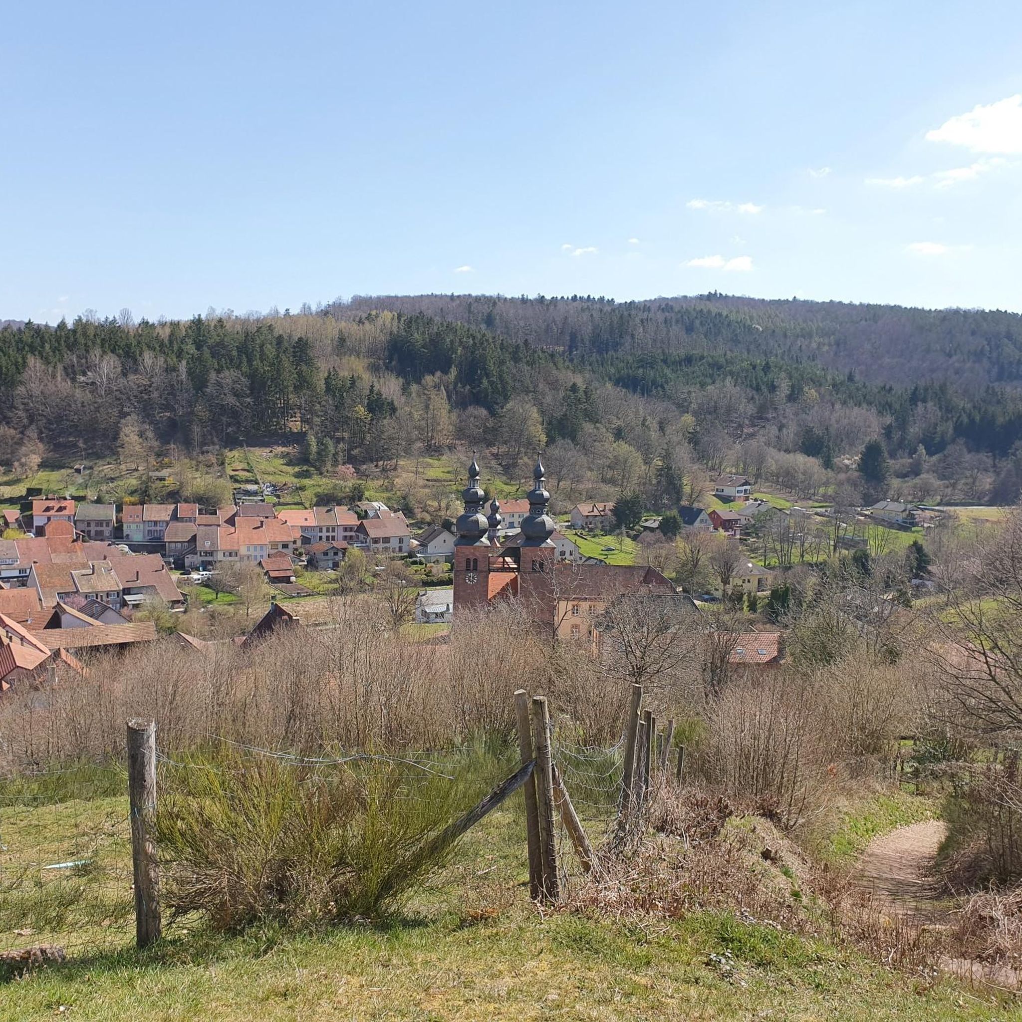
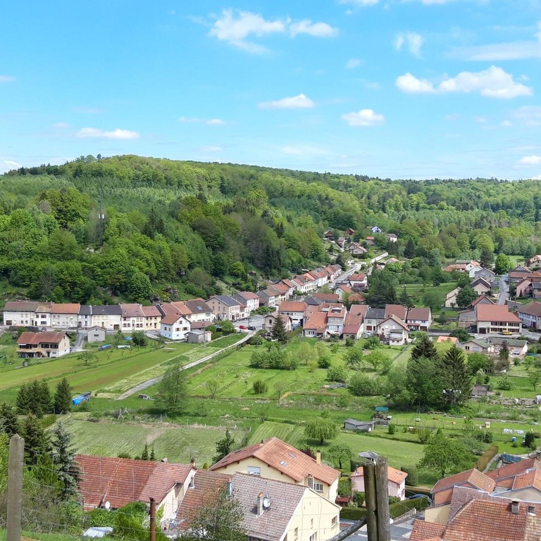
Hiking around Val-Et-Châtillon offers diverse landscapes within France's Grand Est region, characterized by its extensive forested environment and proximity to the Massif des Vosges. The terrain features varied elevation changes, distinctive rock formations, and numerous water features. Hikers can explore shaded forest paths, discover scenic viewpoints, and encounter picturesque lakes and waterfalls.
Best hiking trails around Val-Et-Châtillon
- The most popular hiking route is Fairy Rock – Turquestein Castle loop from Lafrimbolle, a 4.9 miles (7.9 km) trail that takes…
Last updated: June 30, 2026
3.0
(1)
14
hikers
10.0km
02:54
260m
260m
Moderate hike. Good fitness required. Easily-accessible paths. Suitable for all skill levels.
4.7
(3)
9
hikers
14.1km
04:00
300m
300m
Moderate hike. Good fitness required. Easily-accessible paths. Suitable for all skill levels.

Sign up for free
9
hikers
11.0km
03:06
230m
230m
Moderate hike. Good fitness required. Easily-accessible paths. Suitable for all skill levels.
1
hikers
4.30km
01:12
80m
80m
Easy hike. Great for any fitness level. Easily-accessible paths. Suitable for all skill levels.
1.0
(1)
9
hikers
20.0km
05:38
420m
420m
Hard hike. Very good fitness required. Easily-accessible paths. Suitable for all skill levels.
Get access to more routes and recommendations from other explorers.
Sign up for free
Already have an account?
Our route recommendations are based on thousands of hikes, rides, and runs completed by other people on komoot.
Start today with a free account
Your next adventure awaits.
Login or Signup

Tips from the Community


A road that once connected large Gallo-Roman cities and the transport of goods. It is made up of sandstone slabs, and is also called "Chemin d'Allemand". Magnificent route full of history!
0
0
Large crossing located at 622m, on the Chemin d'Allemand.
0
0
Magnificent almost 360 degree panorama. There is a very appreciable calm as the area is not very busy and the roads are far away. (you can even squeeze into some cavities in the rock!)
0
0
Located on the Chemin d'Allemand, this stone engraved by German soldiers in 1916 bears witness to the traffic that the route experienced during the First World War.
0
0

There's a lot more to Komoot than Komoot has
0
0

A very beautiful rock that is worth the detour. Nice point of view, caves to explore below and a point of high energy to recharge the batteries...
0
0

Frequently Asked Questions
How many hiking trails are available around Val-Et-Châtillon?
There are over 270 hiking routes in the Val-Et-Châtillon area, offering a wide range of options for explorers. These include trails of varying lengths and difficulties, ensuring there's something for every hiker.
Are there hiking trails for all skill levels in Val-Et-Châtillon?
Yes, the region caters to all skill levels. You'll find over 110 easy routes, more than 120 moderate trails, and around 30 difficult hikes, providing options for beginners to experienced trekkers.
Can I find trails with waterfalls or lakes in Val-Et-Châtillon?
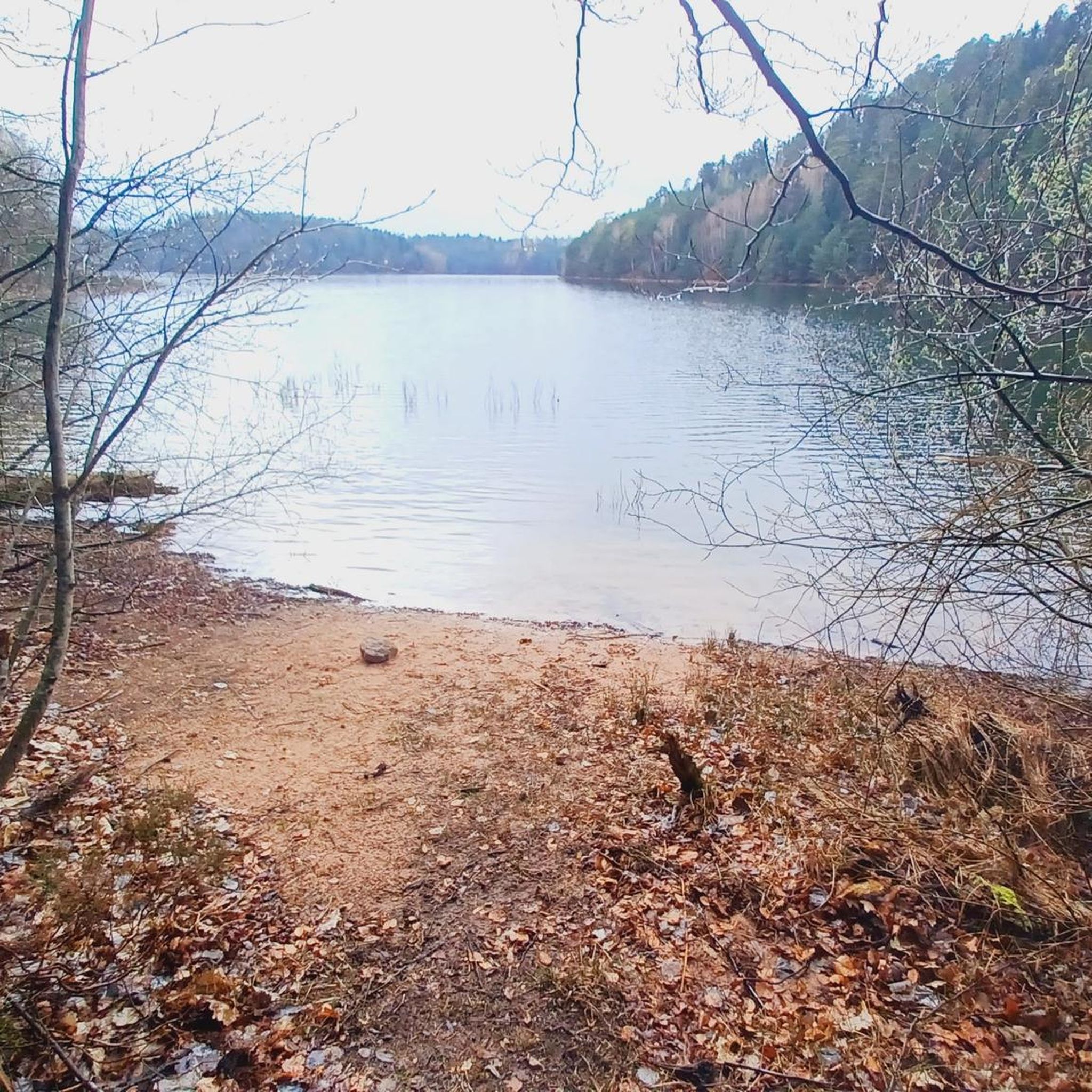
Absolutely. The area is known for its picturesque water features. For example, the Lake view – cascade loop from Val-et-Châtillon leads through forested areas and past a waterfall. You can also explore the tranquil Lac de la Maix, a popular destination for walks, or the étang within Val-et-Châtillon itself.
What unique natural features can I see on hikes around Val-Et-Châtillon?
Hikers can discover distinctive geological formations such as the Fairy Rock and Druids' Rock, sculpted by erosion, which often provide scenic viewpoints. The Fairy Rock – Turquestein Castle loop from Lafrimbolle is a great route to experience these unique rock formations.
Are there historical sites or landmarks along the hiking trails?
Yes, several trails combine natural beauty with cultural discovery. You can find routes that lead to historical sites like Turquestein Castle, the Ton chapel, and the Saint-Sauveur Abbey. The Druids' Rock – La Gagère Chapel loop from Saint-Sauveur features both geological formations and cultural landmarks.
What do other hikers enjoy most about hiking in Val-Et-Châtillon?
The area is highly rated by the komoot community, with an average score of 4.6 stars from over 1,700 reviews. Reviewers often praise the extensive forests, distinctive rock formations, and scenic lakes and waterfalls, as well as the well-maintained and marked trails.
Are there any long-distance or more challenging hikes available?
For those seeking a greater challenge, there are several longer and more difficult routes. For instance, the Druids' Rock – Water fork loop from Saint-Sauveur is a difficult 20 km trail with significant elevation gain, offering a more strenuous experience.
Are there circular hiking routes in Val-Et-Châtillon?
Many of the trails in Val-Et-Châtillon are designed as circular routes, allowing you to start and end at the same point. Examples include the Auges de Martimont – Grand Rougimont loop from Raon-lès-Leau, which offers a moderate 11 km circuit through varied terrain.
What kind of terrain can I expect on the hiking trails?
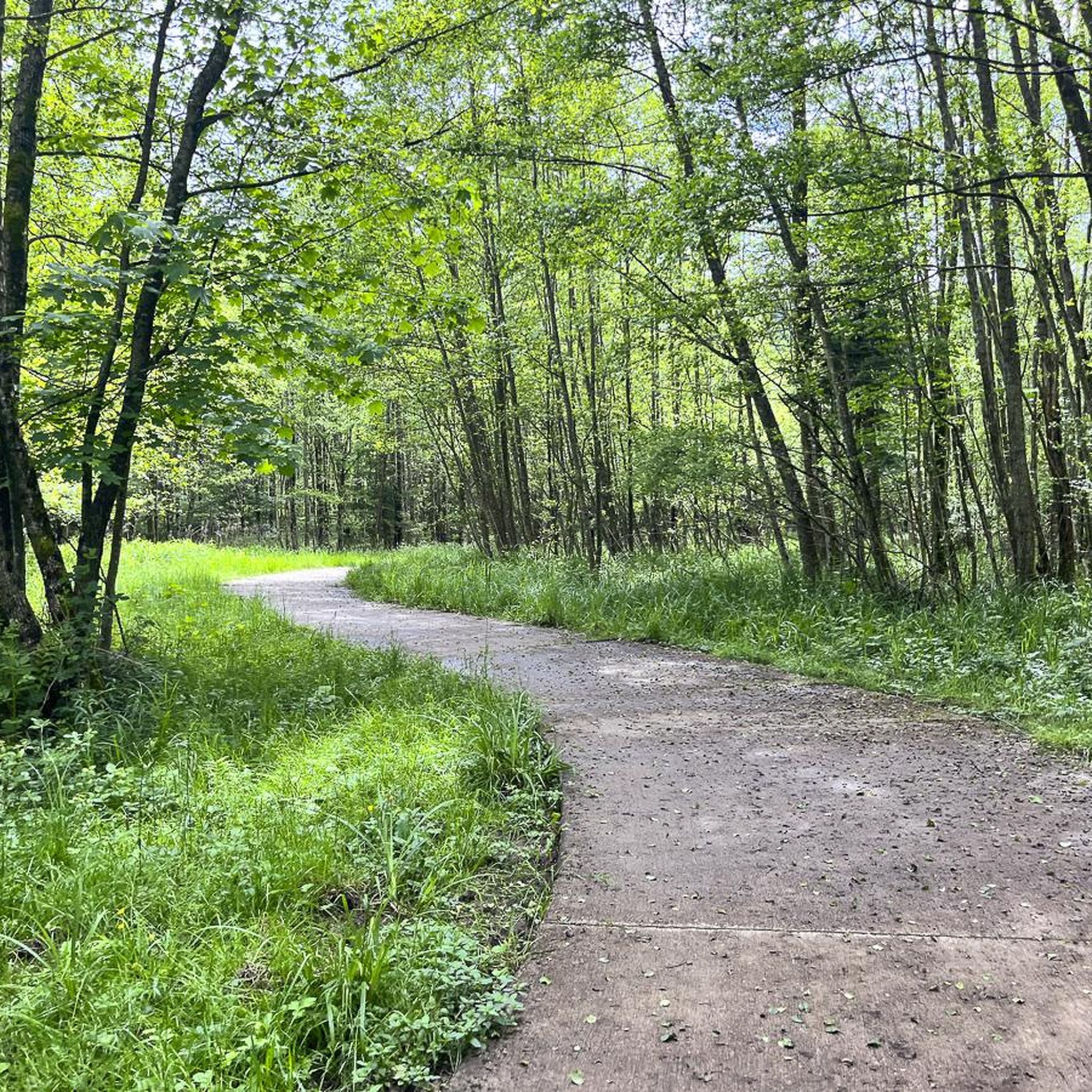
The terrain around Val-Et-Châtillon is diverse, characterized by extensive forested paths, varied elevation changes due to its proximity to the Massif des Vosges, and unique rock formations. You'll find a mix of shaded forest trails and open areas with scenic views.
Are there any specific viewpoints or panoramic vistas to discover?
Yes, many trails lead to points offering impressive views. The distinctive rock formations often provide scenic overlooks. Additionally, the Temple du Donon, an artificial monument, is known for its panoramic vistas over the surrounding landscape.
What are some notable attractions near the hiking trails?
Beyond the trails themselves, you can explore several nearby attractions. These include the Donon Temple, the tranquil Lac de la Maix, and the Le Petit Donon summit, all offering additional points of interest for your visit.
Most popular routes around Val-Et-Châtillon
Most popular attractions around Val-Et-Châtillon

Get inspired with the komoot mobile app


Explore more
Browse the best Hikes in other regions.
