The best running trails around Formiguères
4.5
(15)
2,571
runners
50
runs
Jogging routes around Formiguères offer diverse terrain within the Catalan Pyrenees Regional Natural Park. The region features high-peaked mountains, serene lakes like Camporells and Puyvalador, and extensive forest and valley trails. Runners can navigate paths through ancient pine forests, along wild river valleys, and across open mountain landscapes. This varied topography provides options ranging from gentle lakeside loops to challenging ascents with significant elevation gains.
Best jogging routes around Formiguères
- The most popular jogging route is Lakes of Camporells –…
Last updated: August 28, 2026
5.0
(1)
389
runners
18.6km
02:11
180m
180m
Hard run. Very good fitness required. Mostly paved surfaces. Suitable for all skill levels.
58
runners
13.8km
02:16
870m
870m
Hard run. Very good fitness required. Mostly paved surfaces. Suitable for all skill levels.

Sign up for free
53
runners
7.17km
00:52
80m
80m
Moderate run. Good fitness required. Mostly paved surfaces. Suitable for all skill levels.
42
runners
20.0km
03:46
1,440m
1,440m
Hard run. Very good fitness required. Sure-footedness, sturdy shoes and alpine experience required.
21
runners
20.6km
03:02
900m
900m
Hard run. Very good fitness required. Mostly paved surfaces. Suitable for all skill levels.
Get access to more routes and recommendations from other explorers.
Sign up for free
Already have an account?
Our route recommendations are based on thousands of hikes, rides, and runs completed by other people on komoot.
Start today with a free account
Your next adventure awaits.
Login or Signup
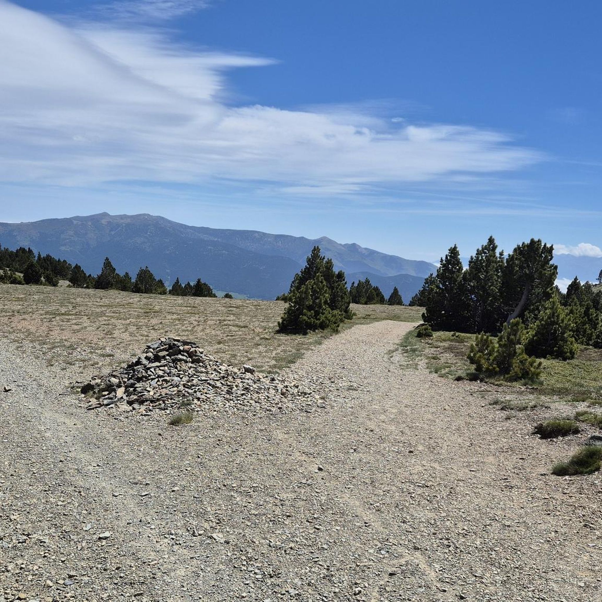
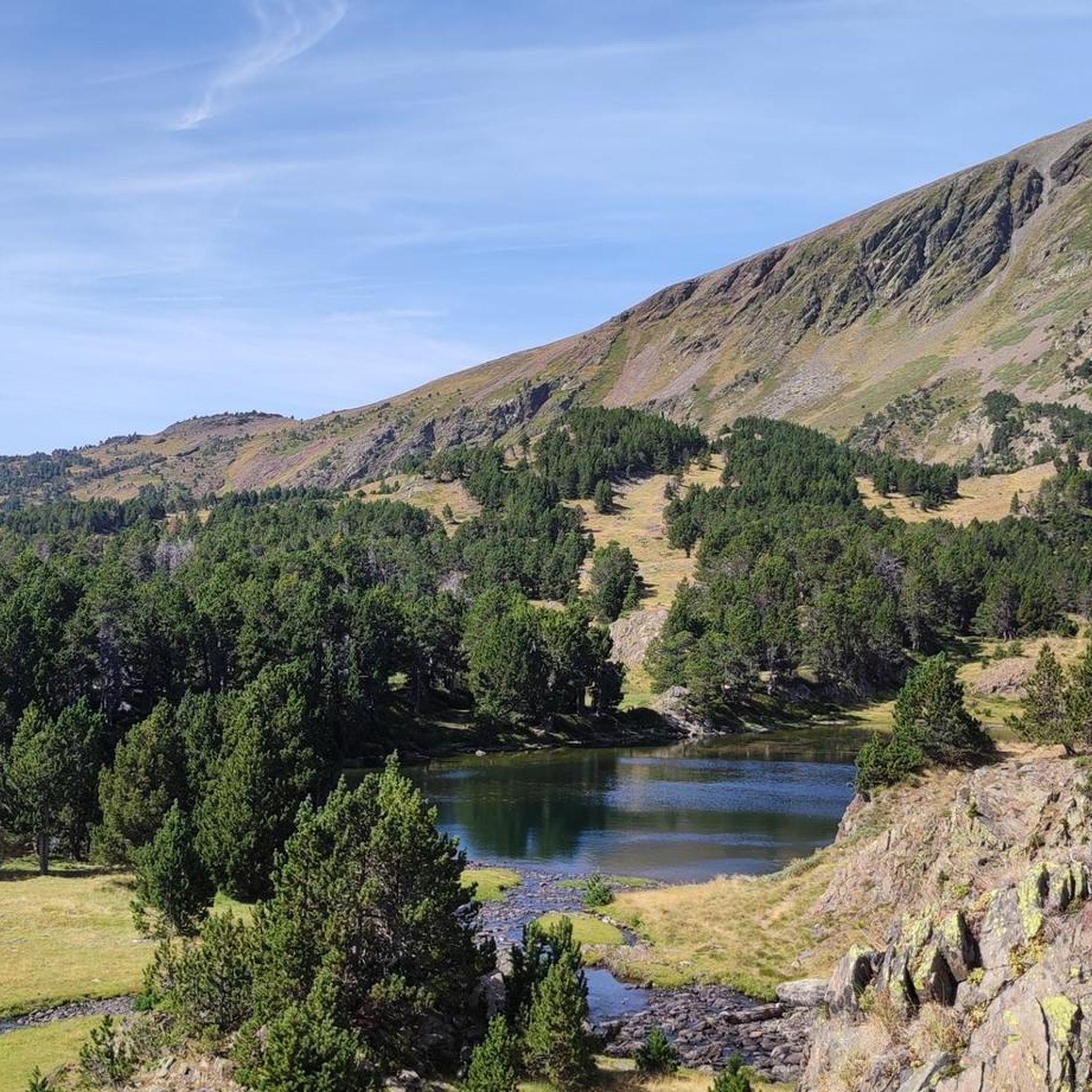




Tips from the Community

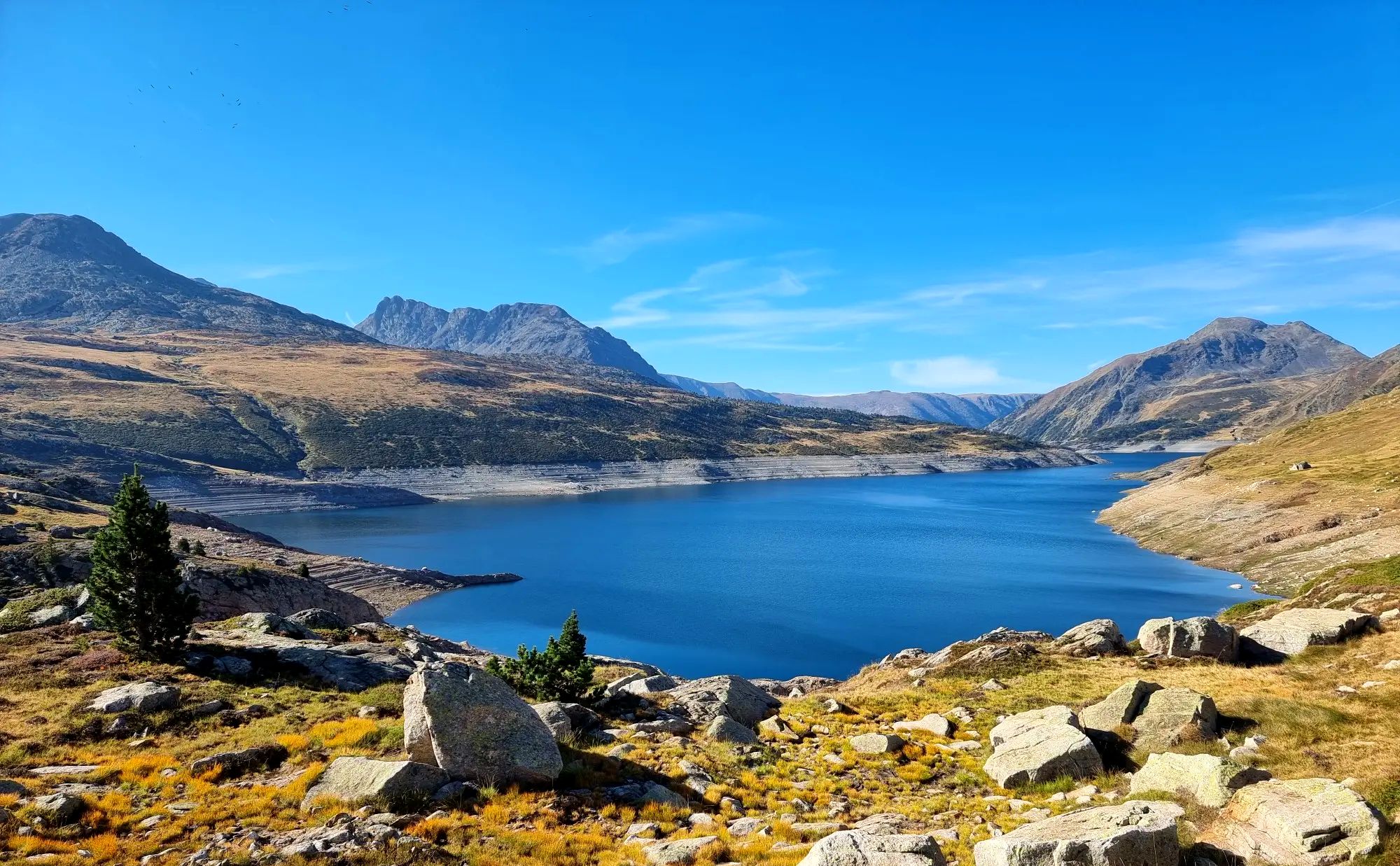
The Matemale lake is located in the middle of the Capcir plateau. The color of its waters captures the attention and creates a desire: to get closer and perhaps take a dip. The lake is developed, and a equipped leisure base opens onto its shores. An ideal stopover.
0
0
The Puyvalador dam is 160 meters long and 39 meters high. This concrete structure is used to regulate the waters of the Aude river to produce electricity. From the dam, the view is exceptional.
0
0

Lake Matemale with its beautiful beaches is located at an altitude of 1500 metres and therefore the water is between 19 and 23°.
1
1


The trail winds through grassy expanses and you enjoy a beautiful panorama of the lake with the Caputxet peak in the background.
0
0

High mountain town known for the ski resort in its vicinity. It is a town with various services in case water needs to be replenished.
0
0
Lac de Matemale is an artificial lake located at an altitude of 1541 m and has an area of 2.23 km.
2
0
Frequently Asked Questions
How many running routes are available around Formiguères?
Formiguères offers an extensive network of over 45 running routes. These trails cater to various abilities, from gentle lakeside loops to challenging mountain ascents within the Catalan Pyrenees Regional Natural Park.
Are there easy jogging routes suitable for beginners in Formiguères?
Yes, Formiguères has routes suitable for various fitness levels. While only one route is classified as easy, there are 28 moderate routes that are accessible. For example, the Pont d'espousouille – Puyvalador Dam loop from Réal is a moderate 7.2 km path offering accessible jogging around Lake Puyvalador with a peaceful atmosphere.
What kind of terrain can I expect on the running trails in Formiguères?
You'll find a diverse array of terrain, from easily accessible paths around lakes like Puyvalador and Matemale to more demanding routes with significant elevation gains in the high-peaked mountains. Trails often traverse through ancient pine forests, wild river valleys, and open mountain landscapes, offering varied experiences for runners.
Are there any circular running routes in Formiguères?
Yes, many of the running routes in Formiguères are circular. For instance, the challenging Lakes of Camporells – Serra da Mauri (2,412 m) loop from Capcir is a popular circular trail that takes you through high-peaked mountains and past the scenic Lakes of Camporells.
What are some scenic viewpoints or landmarks I can see along the running routes?
Many trails offer spectacular views of the surrounding mountains, valleys, and lakes. You can discover stunning natural features like the Lake Matemale, Viver Lake, and the iconic Lakes of Camporells. Higher routes might offer glimpses of the Canigou mountain and views from peaks such as Summit of Pic Carlit or Pic de Tarbesou.
Are there any running routes that pass by lakes?
Absolutely. The region is known for its beautiful lakes. You can enjoy runs around Lake Matemale, with a popular Lake Matemale loop from Formiguères, or explore the serene Viver Lake. The Lakes of Camporells are also a major highlight, featuring twelve lakes amidst high-peaked mountains, offering breathtaking scenery for runners.
What do other runners enjoy most about jogging in Formiguères?
The running routes in Formiguères are highly rated by the komoot community, with an average score of 4.4 stars from over 10 reviews. Runners often praise the diverse terrain, from serene lakeside paths to demanding mountain runs, and the stunning natural beauty of the Catalan Pyrenees Regional Natural Park.
Are there any challenging running routes for experienced trail runners?
Yes, Formiguères offers several challenging routes for experienced runners. The Camporells Refuge – Serra da Mauri (2,412 m) loop from Capcir is a difficult 20 km trail with significant elevation gain, leading through high-peaked mountains. Another demanding option is the Ascent to Serra da Mauri – Camporells Refuge loop from Formiguères, covering over 20 km with substantial climbing.
Can I find routes that go through forests or valleys?
Yes, the region boasts picturesque areas like the Galbe Valley, known for its wild beauty, and the Eyne valley, a classified nature reserve. Many jogging routes traverse through forests, including those with ancient pine trees, offering shaded and scenic paths. These provide a different experience from the open mountain or lakeside trails.
What is the best time of year to go jogging in Formiguères?
Formiguères is an excellent destination for outdoor activities. While specific seasonal conditions vary, the diverse terrain allows for running in different seasons. Spring and autumn offer pleasant temperatures and vibrant scenery, while summer provides longer daylight hours. Higher altitude routes may be affected by snow in winter, but lower-lying paths around lakes often remain accessible.
Most popular routes around Formiguères
Most popular attractions around Formiguères

Get inspired with the komoot mobile app


Explore more
Browse the best Running Trails & Routes in other regions.
