Attractions and Places To See around Angoustrine-Villeneuve-Des-Escaldes - Top 20
Best attractions and places to see around Angoustrine-Villeneuve-Des-Escaldes include a range of natural features and historical landmarks. Located in the Pyrénées-Orientales department of France, this Cerdagne region sits at an altitude of over 1,250 meters. The area is known for its sunny climate and diverse landscapes, offering opportunities for outdoor exploration.
Best attractions and places to see around Angoustrine-Villeneuve-Des-Escaldes
- The most popular attractions is Summit of Pic Carlit, a summit that culminates at 2,921 meters. It offers panoramic views…
Last updated: August 30, 2026
Lake Bouillouses
Highlight • Lake
Translated by Google •
Tip by

Summit of Pic Carlit
Highlight • Summit
Translated by Google •
Tip by

Sign up now to discover places like this
Get recommendations on the best single tracks, peaks, & plenty of other exciting outdoor places.
Sign up for free
Mérens sulphur springs
Highlight • Natural Monument
Open at the end of the Nabre valley, the constitution of the springs contrasts with the spa towns of …
Translated by Google •
Tip by

Col du Calvaire (Font-Romeu)
Highlight • Mountain Pass
Translated by Google •
Tip by

Col de la Perche (1,579 m)
Highlight • Mountain Pass
More information: quaeldich.de/paesse/col-de-la-perche
Translated by Google •
Tip by

Sign up for free to discover even more attractions around Angoustrine-Villeneuve-Des-Escaldes.
Sign up for free
Already have an account?
Start today with a free account
Your next adventure awaits.
Login or Signup
Popular around Angoustrine-Villeneuve-Des-Escaldes

Haute Route Pyrénéenne – Pyrenees Crossing
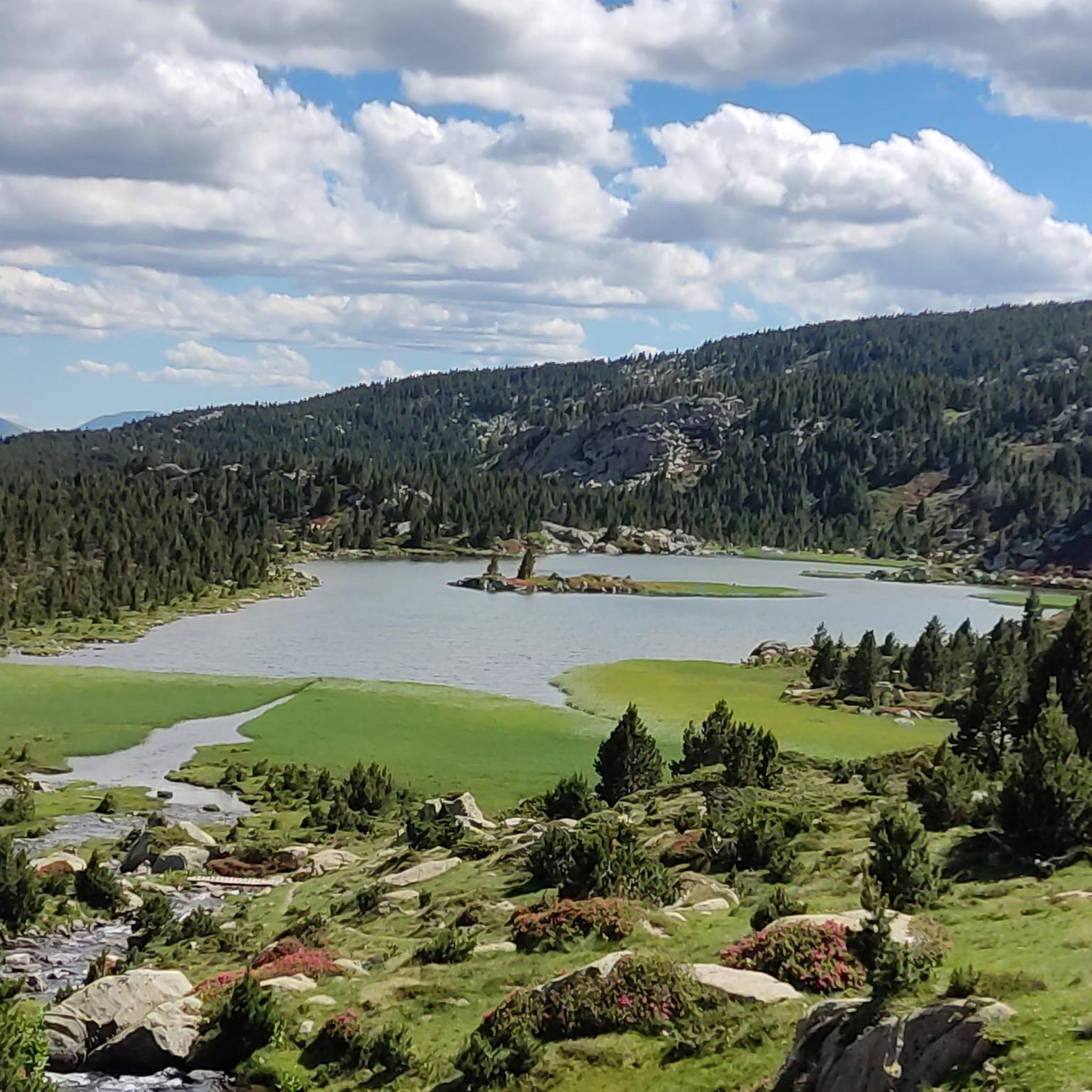
Tour des Pérics – Carlit and Grand Péric variants
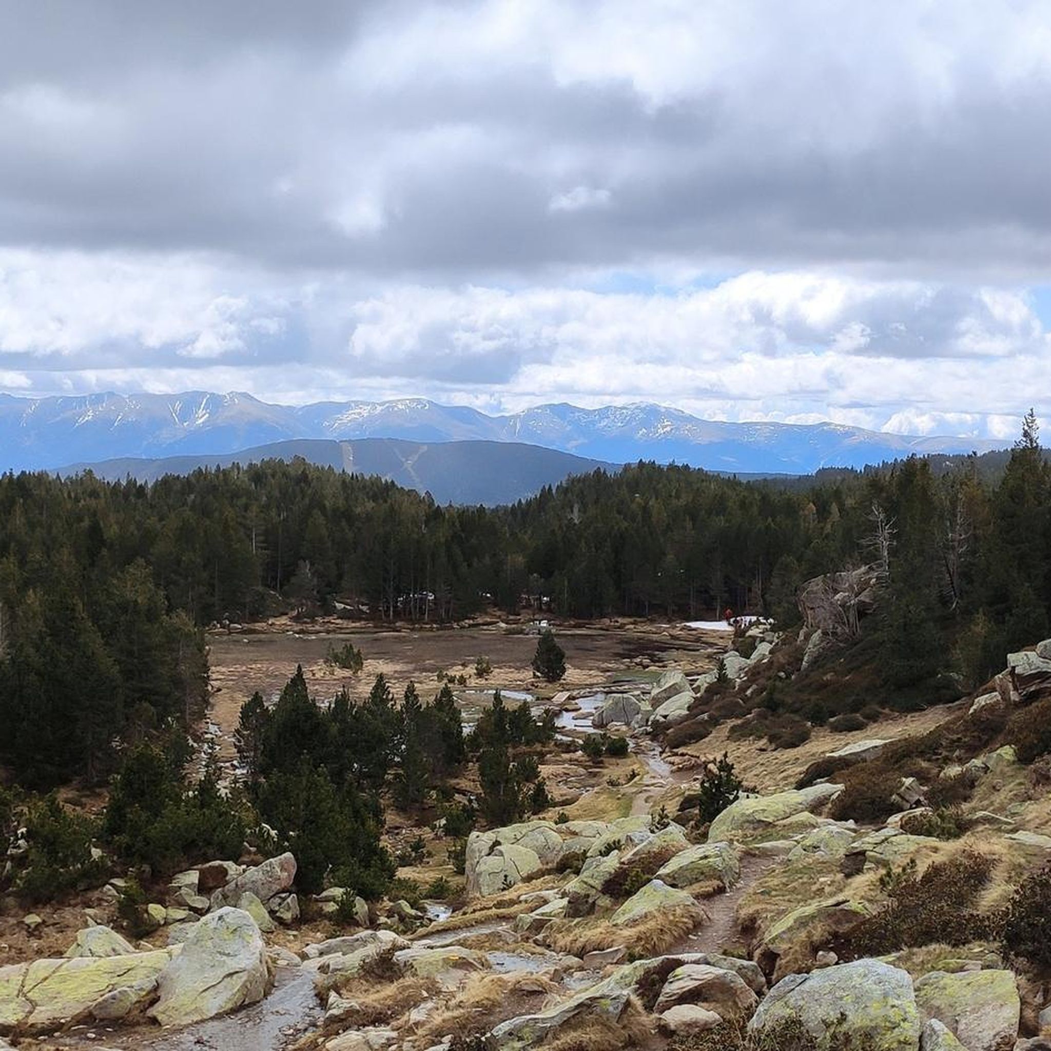
Hiking around Angoustrine-Villeneuve-Des-Escaldes
Running Trails around Angoustrine-Villeneuve-Des-Escaldes
Cycling around Angoustrine-Villeneuve-Des-Escaldes
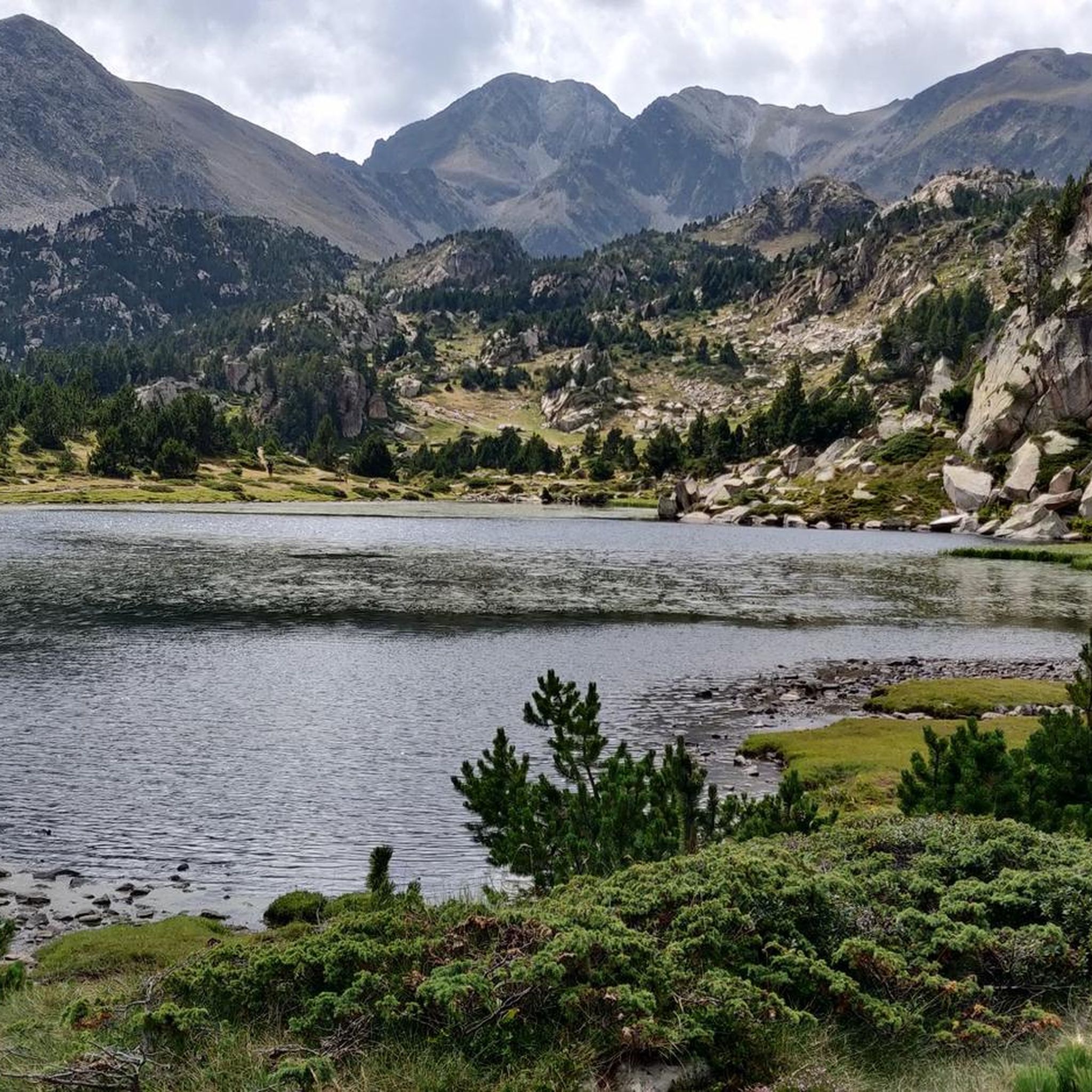
MTB Trails around Angoustrine-Villeneuve-Des-Escaldes
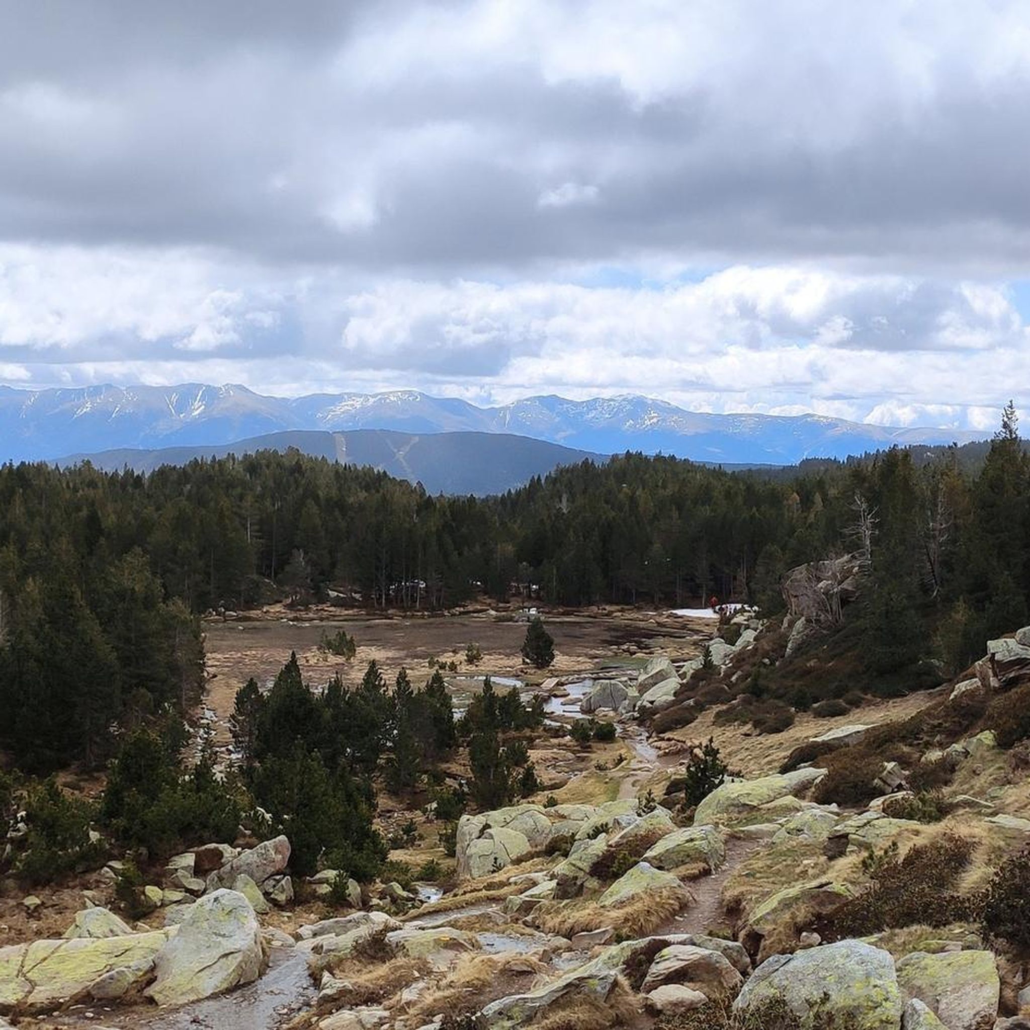
Road Cycling Routes around Angoustrine-Villeneuve-Des-Escaldes

Gravel biking around Angoustrine-Villeneuve-Des-Escaldes
Mountain Hikes around Angoustrine-Villeneuve-Des-Escaldes
Other adventures around Angoustrine-Villeneuve-Des-Escaldes


Tips from the Community

Half of those present aren't following the rules! At the start of the climb, a sign clearly states that swimwear should be worn out of consideration (especially for children). Instead, a Frenchman presents himself completely naked. Some French women enjoy exposing their breasts. Everyone present is smugly sprawling, lying head-to-toe in the water without a single gesture of consideration for newly arrived visitors. A little further upstream from the spring, we encounter the third disappointment: Down in the village, several signs indicate a camping ban. A few meters above the spring, we found a camping tent in the forest (keyword: wild camping) and a prepared campfire site (as if there weren't enough forest fires in France by 2025). The behavior of some of the people is unacceptable.
2
4


Well, starting from Font Romeu and breaking legs from Mont Louis
0
0

The Col de la Calvaire de Font Romeu is a mountain pass in French Cerdanya, next to the town and ski resort of Font Romeu. This port connects the Bolquère valley with the Cerdanya valley. The port is within the same town of Font Romeu, next to the station's ski lifts. There are many slopes to reach Col de la Calvaire: - the western slope that starts from Ur is approximately 16 km and crosses the town of Targasone and the Col d'Egat. It is a very steep climb along a road in perfect condition, although on holidays there is a lot of traffic. - The southern slope starts from Llívia and crosses Estavar and joins the previous one at the Col d'Egat. Unlike the first, the first section of the climb is very hard, with several horseshoe curves and with wonderful views of the entire Cerdanya and the Tosa d'Alp. - The eastern slope stops at Olette, and after approximately 28 km it reaches the top of the pass, passing through the town of Mont-Louis and Bolquère. It is a very steep climb, like the first, on a road in perfect condition but with a lot of traffic. I don't like going up here. - the eastern slope that starts from Olette and passes through the Col de la Perche, reaching the town of Font-Romeu and from there to the top. Of all the slopes, the one I like the most is the slope that starts from Llívia and crosses Estavar.
0
0

Carlit Peak is part of the Capcir granite massif, which is dotted with 27 lakes and small lakes in the Occitanie region, northwest of Font-Romeu. Its summit is located at 2921 meters, allowing you to observe an immense panorama (from Canigó to the Central Pyrenees).
1
2

Culminating at 1,579 meters above sea level, the Col de la Perche can be climbed by four routes in total. Each of them includes relatively gentle slopes. At the top, the view of the surrounding area is splendid and rewards your efforts!
0
0

It's probably not the most spectacular pass in the Pyrenees, but it has its charms. Its position, in the middle of the Catalan Pyrenees natural park, makes it a privileged passage for admiring 360° of the mountains, valleys and plains of this protected area. If you pass by, take the time to look around for yourself and enjoy the view.
0
0
It is a mountain pass that connects Conflent with Cerdanya. It can be reached in a multitude of variants. For me there are 4 clear aspects: - Eastern slope - from Olette along the main road N116 - West slope - from Sallagosa on the main road N116 - West slope - from Sallagosa along the secondary road that crosses the Col de Llo and the town of Eyne - West slope - from Llivia crossing Estavar and the Col d'Egat. With some nuances, in general the 4 slopes are soft and long. The views from the port on both sides are beautiful, especially towards the Eyne ski resort. It must be taken into account that the two slopes that run along the N116 highway have a lot of traffic, with motorcycles and trucks.
1
0
Frequently Asked Questions
What natural features can I explore in the Angoustrine-Villeneuve-Des-Escaldes area?
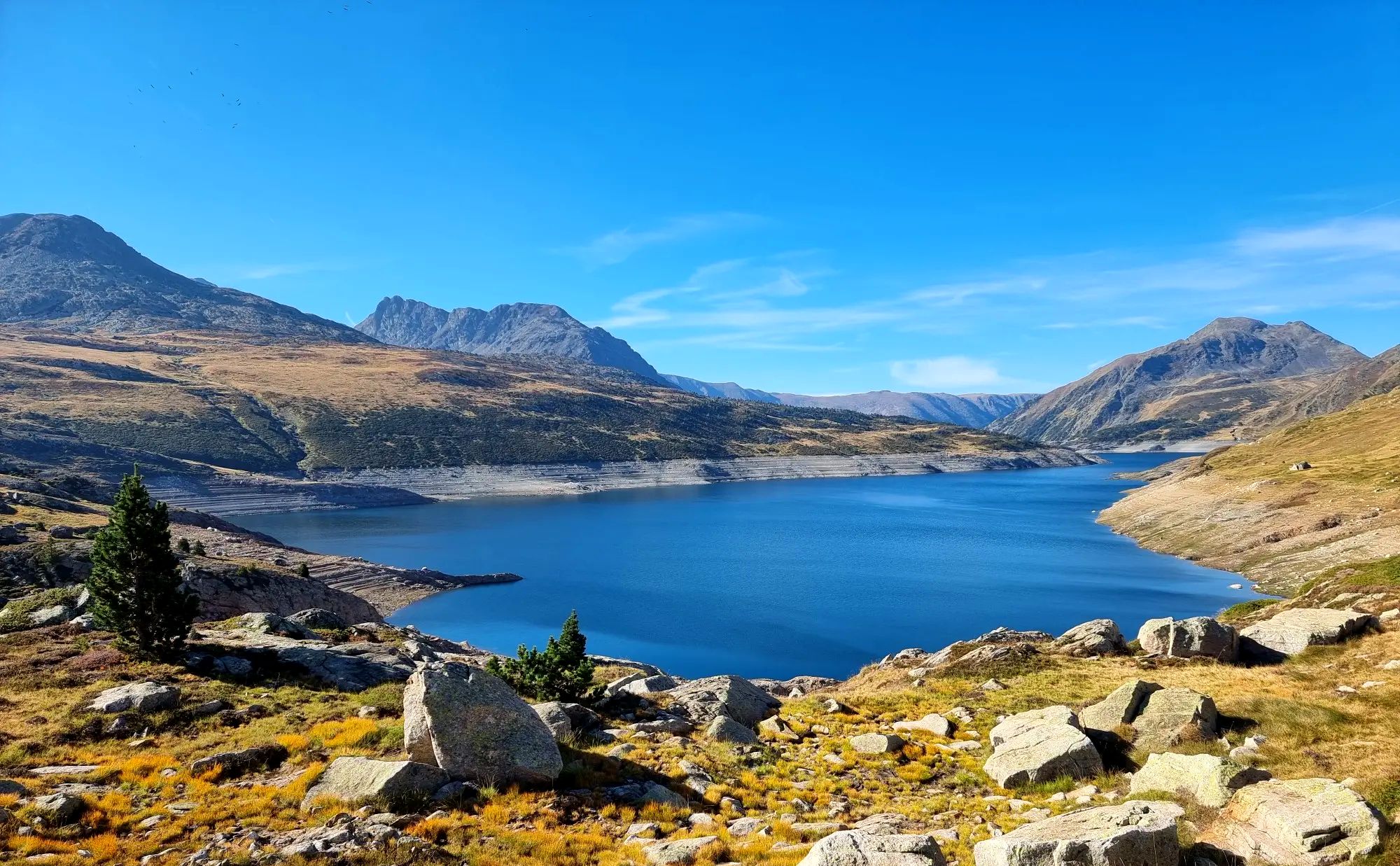
The region is rich in natural beauty. You can visit Lake Bouillouses, a large lake at the foot of Carlit and Peric peaks, or ascend to the Summit of Pic Carlit for panoramic views. The Angoustrine Valley, the Chaos de Targasonne, and the Pyrénées Catalanes Regional Natural Park also offer stunning landscapes.
Are there challenging hikes for experienced trekkers?
Yes, the area offers challenging hikes, notably the ascent to the Summit of Pic Carlit. This 2,921-meter peak provides exceptional panoramas but can be extremely exhausting, with the last 150m being technical. Many routes around Lake Bouillouses also offer difficult terrain. You can find more challenging routes in the hiking guide for the area.
What kind of cycling opportunities are available in the region?
Angoustrine-Villeneuve-Des-Escaldes is an excellent base for cycling. You can find routes for both road cycling and gravel biking. Notable passes like Col de la Perche (1,579 m) and Puymorens Pass offer scenic rides with varying difficulty. Explore more options in the cycling guide and gravel biking guide.
Can I find places for wild swimming or natural hot springs?
While not strictly wild swimming, you can experience natural hot springs at the Mérens sulphur springs. These natural curiosities offer four undeveloped basins of naturally sulphurous water heated to around forty degrees, providing a unique natural experience.
What historical sites can I visit in Angoustrine-Villeneuve-Des-Escaldes?
The area has a rich history. You can explore the 11th and 12th-century Saint-André Church, known for its semi-circular apse and mural paintings. The Chapel of Villeneuve-des-Escaldes features notable sacred art, and the Saint-Martin d'En Valls Chapel, dating from the 12th century, is accessible via a transhumance path. Evidence of ancient Roman presence, including a Roman cippus, also highlights the region's past.
Are there any notable viewpoints in the region?
Absolutely. The Summit of Pic Carlit offers exceptional panoramic views of the valley and its numerous lakes. The Col de la Perche (1,579 m) also provides splendid 360-degree views of the mountains, valleys, and plains within the Catalan Pyrenees Natural Park.
Are there family-friendly activities or attractions?
The region offers various family-friendly activities. Beyond gentle walks and exploring the charming village architecture, the Roc Line is an unusual adventure park built into a cliff face with zip lines and rock climbing, open in the summer and accessible via the Bouillouses path. Many of the natural sites, like the lower areas around Lake Bouillouses, are also suitable for families.
When is the best time to visit Angoustrine-Villeneuve-Des-Escaldes for outdoor activities?
The area is known for its sunny climate, making it pleasant for outdoor activities for much of the year. Summer is popular, but be aware that access to Lake Bouillouses is restricted to a bus service during July and August. Spring and autumn offer milder temperatures and beautiful scenery, ideal for hiking and cycling, while winter provides opportunities for skiing and other snow sports.
How can I access Lake Bouillouses, especially during peak season?
Lake Bouillouses is a natural site of great interest. During summer, typically in July and August, access is restricted due to the large influx of tourists. A bus service connects the lower car park to the dam, providing convenient access to the lake.
What other outdoor sports can I do besides hiking and cycling?
Beyond hiking and cycling, the commune is an ideal base for various nature sports. You can enjoy mountain biking, climbing, skiing in winter, and fishing. The geographical location also makes Angoustrine a popular spot for soaring/gliding when conditions are favorable.
Where can I find local products or experience the village's authenticity?
The village of Angoustrine-Villeneuve-Des-Escaldes has preserved its authenticity with typical buildings of granite and slate, offering a charming atmosphere. Visitors can also discover local producers in the area, providing an opportunity to experience regional flavors and crafts.
Are there any protected natural areas to visit?
Yes, Angoustrine-Villeneuve-Des-Escaldes is part of the Pyrénées Catalanes Regional Natural Park. This park boasts a remarkable natural heritage, including a Natura 2000 site ("Capcir, Carlit et Campcardos") and numerous natural zones of ecological, faunistic, and floristic interest. The Tet River also originates at the foot of Pic Carlit within this protected area.
Most popular routes around Angoustrine-Villeneuve-Des-Escaldes
Most popular attractions around Angoustrine-Villeneuve-Des-Escaldes

Get inspired with the komoot mobile app


Explore more
Still not found the Highlight you’re looking for? See guides of the top attractions in other regions:
